Plizio Visual Lab
Parc national des Pyrénées
Météo…
Température de l'eau…
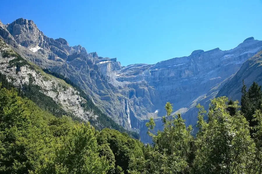
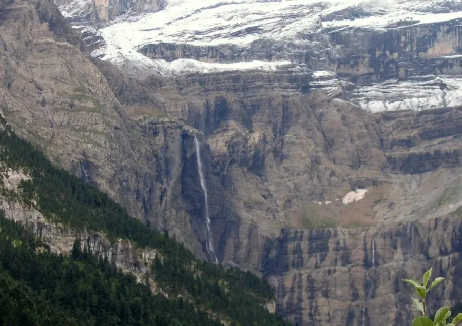
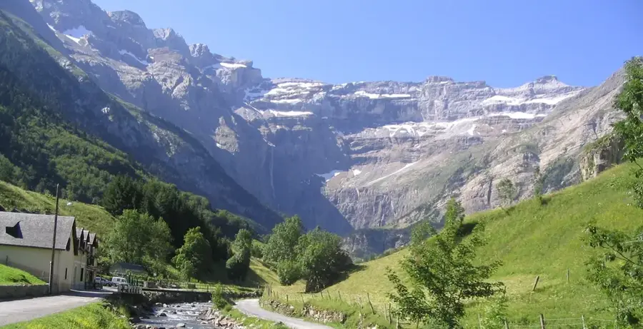
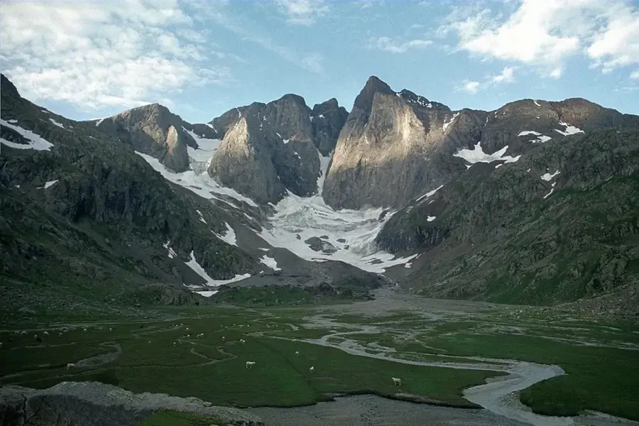
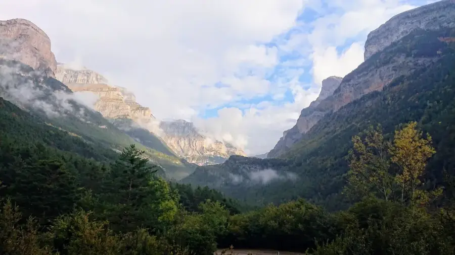
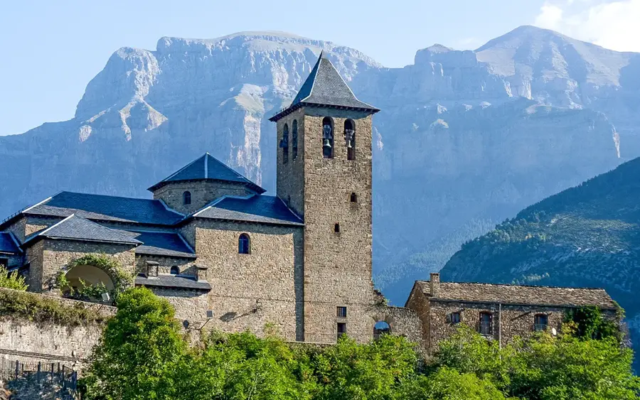
Le Parc national des Pyrénées s'étend sur 100 kilomètres le long de la frontière entre la France et l'Espagne, dans les départements des Hautes-Pyrénées et des Pyrénées-Atlantiques. Fondé en 1967, il sert à protéger la biodiversité alpine exceptionnelle et à préserver les paysages culturels traditionnels. Le territoire du parc comprend des sommets majestueux comme le Vignemale (3 298 m) et des formations géologiques spectaculaires comme le Cirque de Gavarnie, classé au patrimoine mondial de l'UNESCO. La flore du parc est extraordinairement riche avec plus de 2 500 espèces végétales, dont beaucoup sont endémiques. Parmi la faune, on trouve des espèces rares comme le desman des Pyrénées, le bouquetin et le majestueux gypaète barbu. Le parc est également une zone importante pour le pastoralisme, où moutons, vaches et chevaux paissent dans les estives en été. Pour les visiteurs, le parc national offre un vaste réseau de sentiers de randonnée, permettant de découvrir une nature intacte et des cascades impressionnantes comme la Grande Cascade de Gavarnie.
Explorer sur la carte
Que savez-vous de France ?
Trouvez villes, paysages et régions en 10 défis variés sur la carte interactive.
Votre voyage, votre souvenir
Une carte postale de Parc national des Pyrénées
Transformez votre propre photo en carte postale personnalisée avec un timbre local. Gratuit et sans inscription.
Créer une carte postale- Emplacement: Occitanie, France
- Points forts: Espace muséographique Millaris · Bob-Luge · Église Saint-Mathieu
- À proximité: Gavarnie (7 km)
Meilleure période & climat
La période la plus agréable est Juin–Aoû.
| Jan | Fév | Mar | Avr | Mai | Juin | Juil | Aoû | Sep | Oct | Nov | Déc | |
|---|---|---|---|---|---|---|---|---|---|---|---|---|
| Moy. °C | 2 | 2 | 5 | 8 | 12 | 16 | 18 | 18 | 15 | 11 | 6 | 3 |
| Pluie mm | 87 | 69 | 75 | 86 | 93 | 65 | 52 | 52 | 56 | 70 | 93 | 74 |
📋 Informations pratiques
Géographie
Faits
- Le parc national a été officiellement fondé le 23 mars 1967.
- Le Vignemale est le point culminant du parc avec 3 298 mètres.
- La zone cœur du parc couvre une superficie de 45 707 hectares.
- La cascade de Gavarnie chute d'une hauteur de 422 mètres.
- On estime que plus de 800 espèces animales différentes vivent dans le parc.
- Plus de 230 lacs de montagne se trouvent à l'intérieur des limites du parc.
Explorer à proximité
Lieux remarquables autour
Planificateur d’itinéraire — Voiture & Camping-car
Où commencez-vous ? Nous construisons l’itinéraire ici, avec étapes et notes par pays en chemin.
© OpenStreetMap contributors · OpenRouteService
Sites en ville Parc national des Pyrénées (4)
À voir aux alentours
Questions fréquentes
Quel est le lieu le plus célèbre du Parc national des Pyrénées ?
Faut‑il payer pour entrer dans le parc national ?
Quels animaux peut‑on observer dans le parc ?
Les chiens sont‑ils autorisés dans le parc national ?
Quelle est la difficulté des sentiers de randonnée ?
Parc national des Pyrénées : où se situe-t-il ?
Parc national des Pyrénées : que voir ?
Parc national des Pyrénées : quand est-il préférable de visiter ?
Parc national des Pyrénées : pourquoi vaut-il la peine de visiter ?

Villes à proximité