Plizio Visual Lab
Cirque de Gavarnie
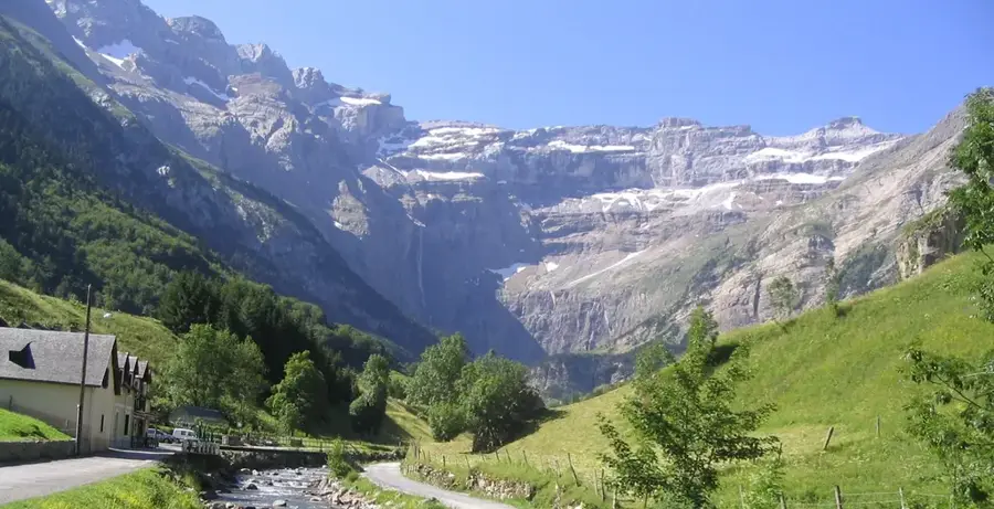
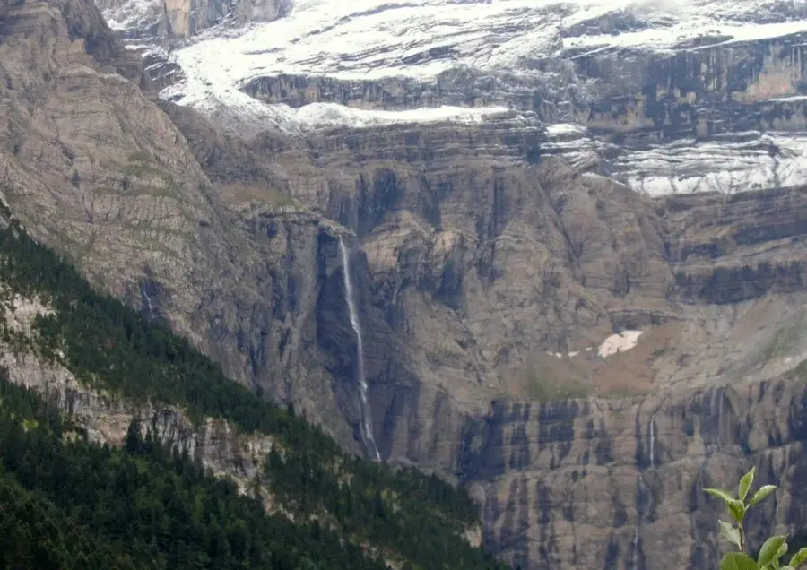
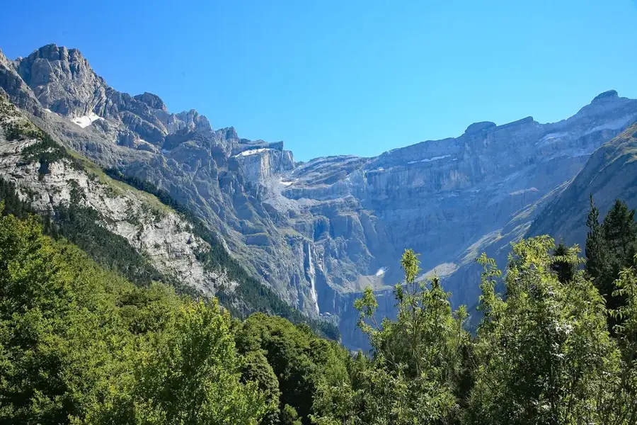
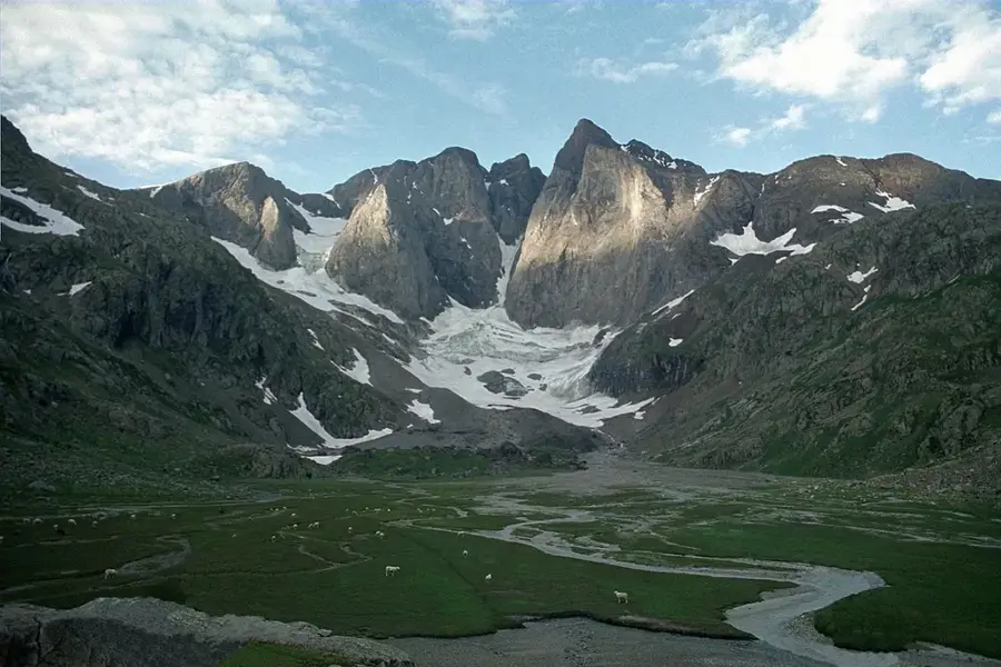
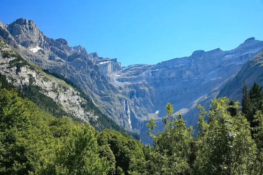
Le Cirque de Gavarnie est un immense cirque naturel des Pyrénées centrales, situé dans le parc national des Pyrénées. Né de l'érosion glaciaire, il se distingue par ses parois presque verticales s'élevant jusqu'à 1 500 mètres au-dessus du fond de la vallée. Au centre du cirque, la Grande Cascade de Gavarnie chute de 422 mètres, ce qui en fait l'une des plus hautes d'Europe. Victor Hugo a décrit le site comme le 'Colisée de la Nature'. Depuis 1997, la zone est inscrite au patrimoine mondial de l'UNESCO avec le parc espagnol d'Ordesa et du Mont-Perdu. Outre sa géologie spectaculaire, la région abrite une flore et une faune uniques, comme l'isard des Pyrénées et le rare gypaète barbu.
Explorer sur la carte
Que savez-vous de France ?
Trouvez villes, paysages et régions en 10 défis variés sur la carte interactive.
Votre voyage, votre souvenir
Une carte postale de Cirque de Gavarnie
Transformez votre propre photo en carte postale personnalisée avec un timbre local. Gratuit et sans inscription.
Créer une carte postale- Emplacement: Occitanie, France
- Points forts: La Grande Cascade de Gavarnie · Hôtellerie du Cirque · Picos de la Cascada Central
- À proximité: Gavarnie (5 km)
Meilleure période & climat
La période la plus agréable est Juin–Aoû.
| Jan | Fév | Mar | Avr | Mai | Juin | Juil | Aoû | Sep | Oct | Nov | Déc | |
|---|---|---|---|---|---|---|---|---|---|---|---|---|
| Moy. °C | 1 | 1 | 4 | 7 | 11 | 16 | 18 | 18 | 14 | 10 | 4 | 1 |
| Pluie mm | 60 | 48 | 60 | 72 | 71 | 50 | 37 | 37 | 47 | 59 | 68 | 50 |
📋 Informations pratiques
Géographie
Faits
- La Grande Cascade est avec 422 mètres l'une des plus hautes d'Europe.
- Inscrit à l'UNESCO depuis 1997 (Pyrénées - Mont Perdu).
- Le cirque a un diamètre d'environ 6 kilomètres à sa crête.
- Les parois sont formées de calcaire du Crétacé et de l'Éocène.
- Victor Hugo a surnommé le cirque 'l'impossible et colossal objet'.
- Zone de refuge majeure pour le gypaète barbu.
Explorer à proximité
Lieux remarquables autour
Planificateur d’itinéraire — Voiture & Camping-car
Où commencez-vous ? Nous construisons l’itinéraire ici, avec étapes et notes par pays en chemin.
© OpenStreetMap contributors · OpenRouteService
Sites en ville Cirque de Gavarnie (8)
Punda deras Crepas
Montagne en France, un point élevé dans les Pyrénées.
Festival de Gavarnie
Festival de théâtre se tenant en été dans le Cirque de Gavarnie.
Gruta Casteret
Grotte de glace dans le massif du Mont‑Perdu, versant ouest du Pico Anónimo (2773 m).
Cirque de Gavarnie
Belvédère surplombant le célèbre cirque pyrénéen.
À voir aux alentours
Questions fréquentes
Comment se rendre au Cirque de Gavarnie ?
Quelle est la hauteur de la grande cascade ?
Le chemin est-il praticable avec une poussette ?
Peut-on y aller à cheval ou à dos d'âne ?
Quelle est la meilleure période pour visiter ?
Cirque de Gavarnie : où se situe-t-il ?
Cirque de Gavarnie : que voir ?
Cirque de Gavarnie : quand est-il préférable de visiter ?
Cirque de Gavarnie : pourquoi vaut-il la peine de visiter ?

Villes à proximité