Plizio Visual Lab
Port Nantes-Saint-Nazaire
Équipe éditoriale PlizioSources de données
Port
Météo…
Température de l'eau…
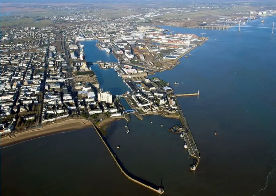
Le port de Nantes-Saint-Nazaire est le principal carrefour économique de la côte atlantique française, spécialisé dans l'énergie et l'importation de bois.
Explorer sur la carte
Que savez-vous de France ?
Trouvez villes, paysages et régions en 10 défis variés sur la carte interactive.
Commencer le quiz cartographique
10 défis
Votre voyage, votre souvenir
Une carte postale de Port Nantes-Saint-Nazaire
Transformez votre propre photo en carte postale personnalisée avec un timbre local. Gratuit et sans inscription.
Créer une carte postale- Emplacement: Bretagne, France
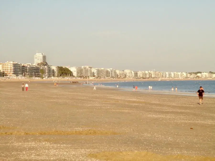
- Points forts: Plage de Trébezy · Plage de Virechat · Plage de Villès-Martin
- À proximité: Saint-Brevin-les-Pins (6 km)
Meilleure période & climat
La période la plus agréable est Juin–Aoû.
| Jan | Fév | Mar | Avr | Mai | Juin | Juil | Aoû | Sep | Oct | Nov | Déc | |
|---|---|---|---|---|---|---|---|---|---|---|---|---|
| Moy. °C | 6 | 6 | 8 | 11 | 14 | 18 | 19 | 19 | 17 | 13 | 9 | 6 |
| Pluie mm | 77 | 61 | 62 | 48 | 59 | 50 | 48 | 48 | 43 | 78 | 81 | 85 |
📋 Informations pratiques
Qu’est-ce que cet endroit ?
Ce port important à l'estuaire de la Loire sert de point central de transbordement pour les matières premières et les produits industriels. Il joue un rôle crucial pour l'économie de la région des Pays de la Loire.
Visite
Le port est une zone industrielle active non ouverte au public. Cependant, les activités portuaires peuvent être observées depuis certains points de vue le long de la Loire.
Où le voir
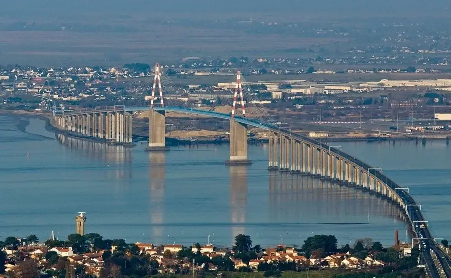
De bonnes vues sur le port se découvrent depuis le pont de la Loire et le belvédère de Saint-Nazaire. Des promenades le long des quais donnent aussi une impression du trafic maritime.
Produits locaux
Les visiteurs voient principalement des porte-conteneurs, du vrac et des zones de stockage de matières premières. Les marchés à proximité proposent des produits de la mer frais et des produits locaux.
Saison active
Le port est actif toute l’année, avec des pics en été et pendant la récolte des produits agricoles. Le trafic suit les marées et les plannings de livraison.
À proximité
Combinez la visite du port avec un séjour à Nantes, qui séduit par son château historique et le Passage Pommeraye. Les chantiers navals de Saint-Nazaire valent également le détour.
Géographie
Faits
- Quatrième port de commerce français en termes de tonnage.
- Site majeur pour l'importation de gaz naturel liquéfié (GNL).
- Centre logistique pour le transport des pièces d'avions Airbus.
- Traite environ 30 millions de tonnes de fret par an.
Explorer à proximité
Lieux remarquables autour

Planificateur d’itinéraire — Voiture & Camping-car
Où commencez-vous ? Nous construisons l’itinéraire ici, avec étapes et notes par pays en chemin.
Véhicule
Uniquement arrêts avec (optionnel) :
Dimensions du camping-car
© OpenStreetMap contributors · OpenRouteService
Sites en ville Port Nantes-Saint-Nazaire (3)
À voir aux alentours
Questions fréquentes
Peut-on visiter le chantier naval de Saint-Nazaire ?
Oui, les Chantiers de l'Atlantique proposent des visites guidées en bus de leurs installations.
Quels navires y sont construits ?
Certains des plus grands paquebots de croisière et bâtiments navals y sont construits.
Qu'est-ce que « Escal'Atlantic » ?
Un centre d'expérience installé dans un ancien bunker à sous-marins présentant le monde des paquebots transatlantiques.
Peut-on visiter un véritable sous-marin ?
Oui, le sous-marin « Espadon » est accessible aux visites dans le port de Saint-Nazaire.
Combien dure une visite du chantier naval ?
Prévoyez environ 2 heures pour la visite guidée en bus.
Port Nantes-Saint-Nazaire : où se situe-t-il ?
Port Nantes-Saint-Nazaire est situé(e) en Bretagne, France.
Port Nantes-Saint-Nazaire : que voir ?
Les points forts incluent Plage de Trébezy, Plage de Virechat, Plage de Villès-Martin.
Port Nantes-Saint-Nazaire : quand est-il préférable de visiter ?
La période la plus agréable pour visiter est Juin, Aoû.
Port Nantes-Saint-Nazaire : pourquoi vaut-il la peine de visiter ?
Le port de Nantes-Saint-Nazaire est le principal carrefour économique de la côte atlantique française, spécialisé dans l'énergie et l'importation de bois.

Explorer avec Plizio
Découvrir plus d'endroits en Europe
Plus d'endroits en France →
Villes à proximité
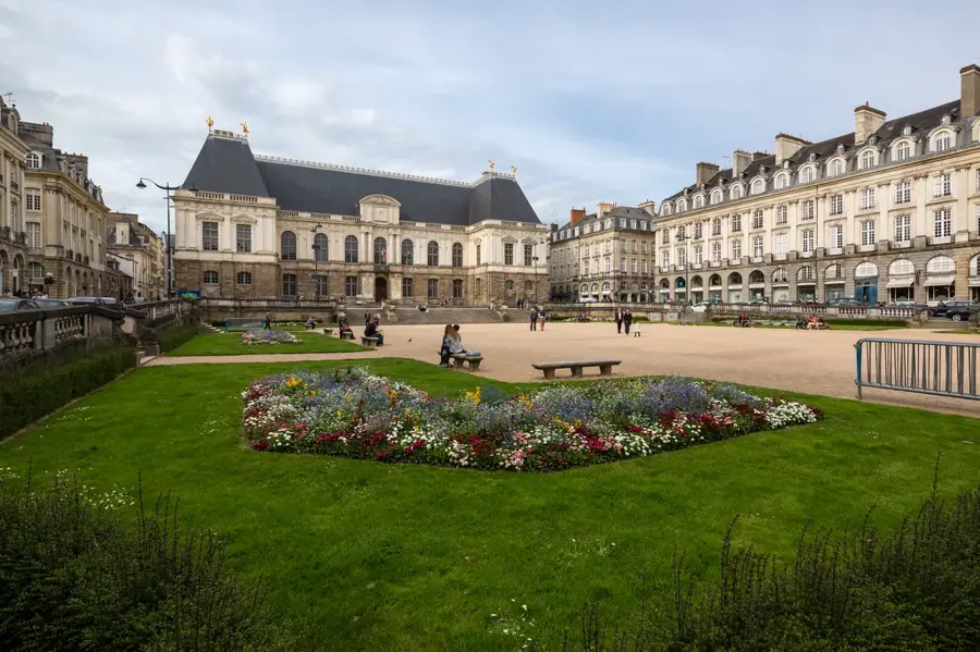
Rennes
Rennes est la capitale de la Bretagne et une ville universitaire animée avec des maisons à colombages et une vie culturelle dynamique.
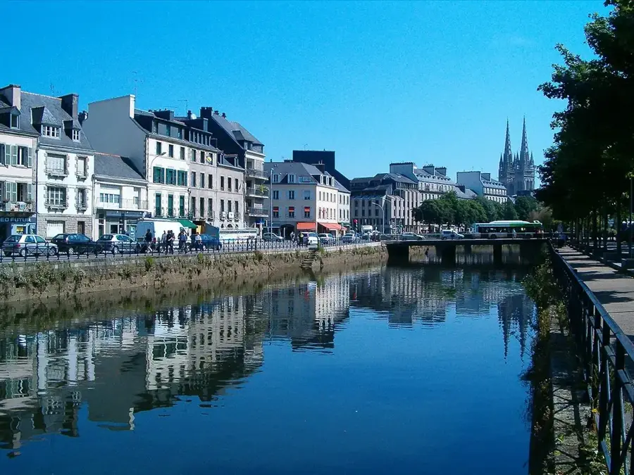
Quimper
Quimper est la capitale historique de la Cornouaille, réputée pour sa cathédrale, sa céramique et son identité bretonne.
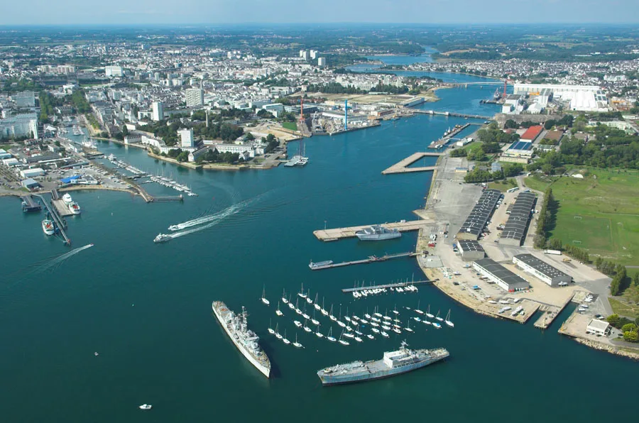
Lorient
Lorient est un port moderne en Bretagne, connu pour la marine, la construction navale et le grand festival Interceltique.
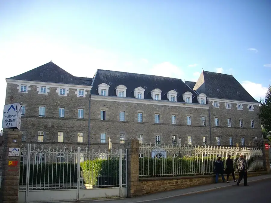
Vannes
Vannes est une cité fortifiée bretonne avec des maisons à colombages, le charme du port et un accès au Golfe du Morbihan.
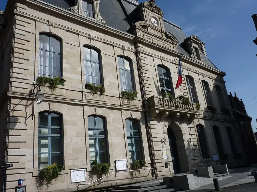
Saint-Brieuc
Saint-Brieuc est la préfecture des Côtes-d'Armor et un bon point de départ pour la baie et la côte du nord de la Bretagne.
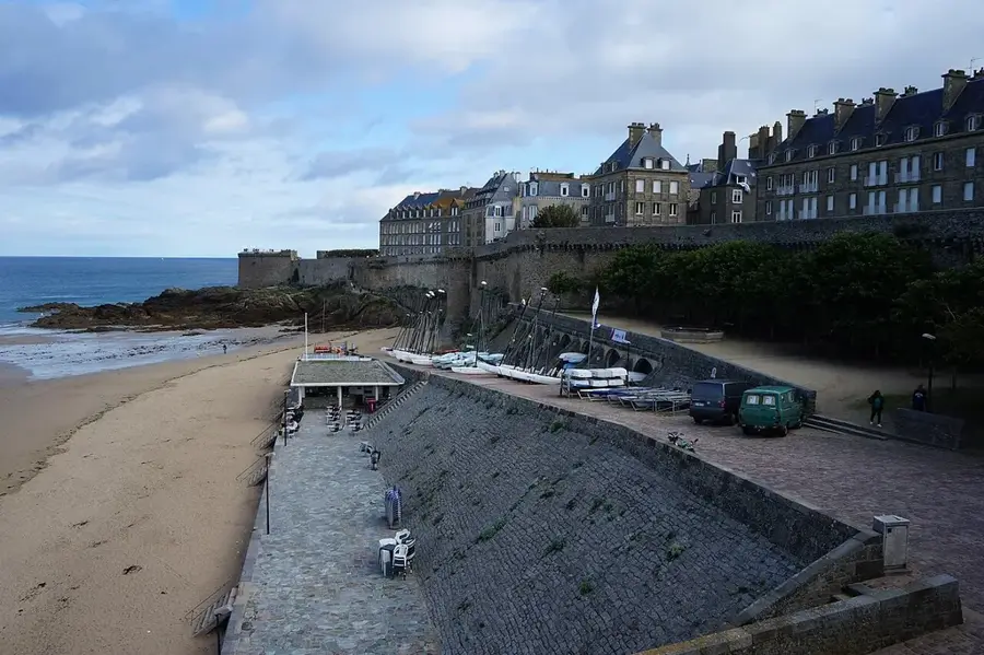
Saint-Malo
Saint-Malo est une ville portuaire fortifiée sur la côte de la Manche, célèbre pour ses remparts et son histoire maritime.
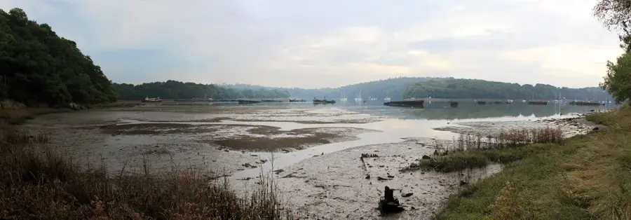
Lanester
Une ville industrielle dynamique en Bretagne, située à la confluence du Scorff et du Blavet en face de Lorient.

Fougères
Ville médiévale impressionnante en Bretagne, abritant l’une des plus grandes et mieux conservées forteresses d’Europe.
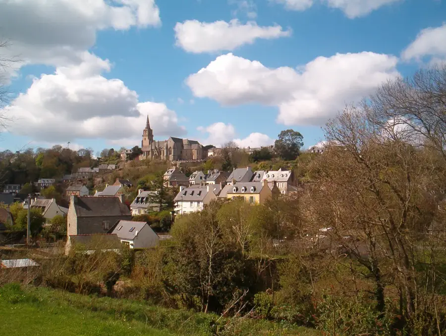
Lannion
Lannion est la porte d'entrée de la Côte de Granit Rose en Bretagne et un pôle technologique majeur pour les télécommunications.
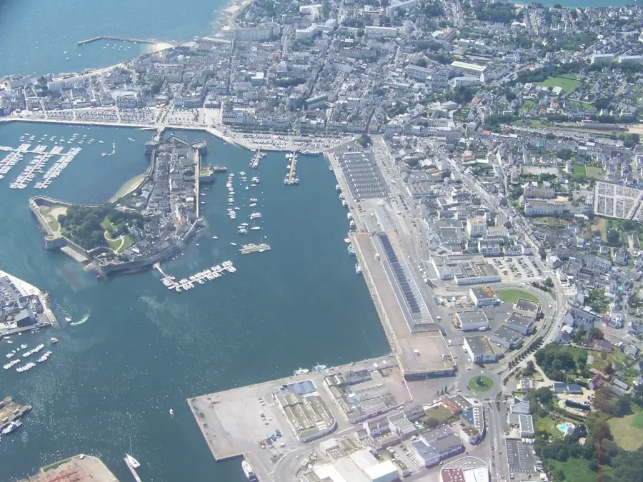
Concarneau
Concarneau est une grande ville portuaire bretonne, célèbre pour son île fortifiée médiévale connue sous le nom de Ville Close.
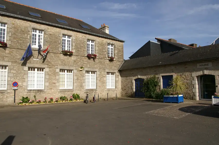
Ploemeur
Une charmante commune côtière en Bretagne, réputée pour ses longues plages et ses sites mégalithiques préhistoriques.
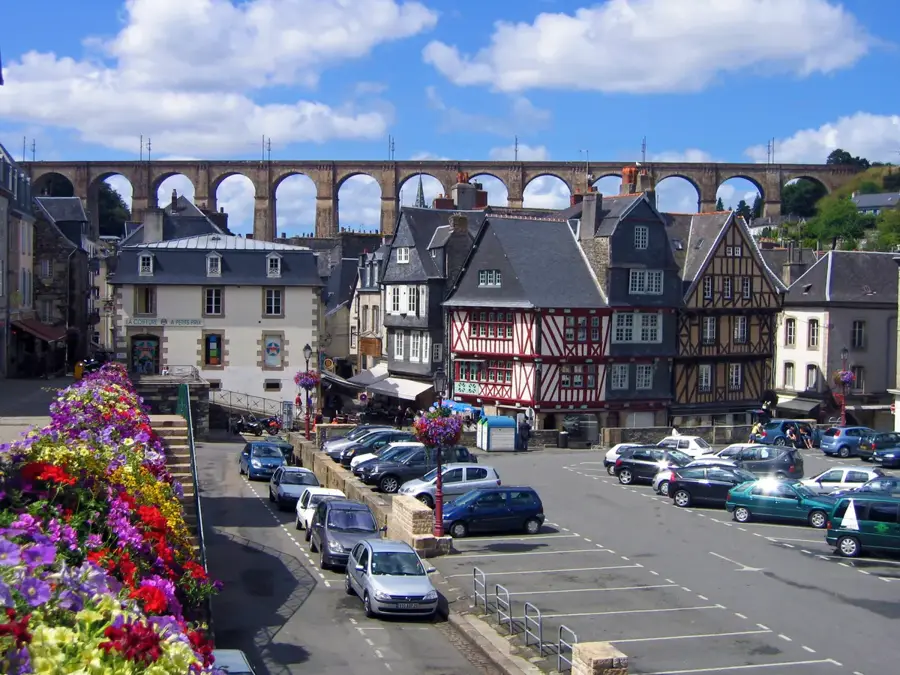
Morlaix
Une ville bretonne célèbre pour son viaduc ferroviaire monumental et ses maisons à pans de bois uniques.
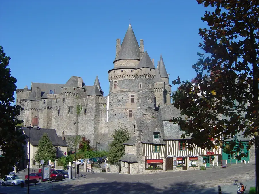
Vitré
Vitré est une splendide ville médiévale en Bretagne, réputée pour son imposant château et son centre historique exceptionnellement bien p…
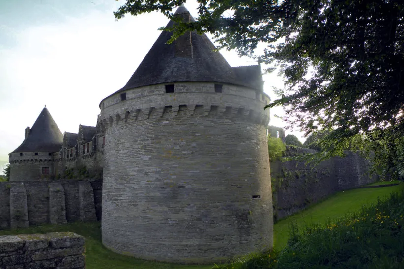
Pontivy
Une ville à double visage au cœur de la Bretagne, façonnée par le puissant château des Rohan et l'ambitieuse planification napoléonienne.
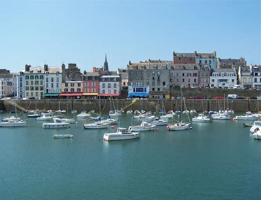
Douarnenez
Ville portuaire sur la côte atlantique, célèbre pour sa pêche à la sardine et son patrimoine maritime.