Plizio Visual Lab
Bulawayo Plateau
Weather…
Water temperature…
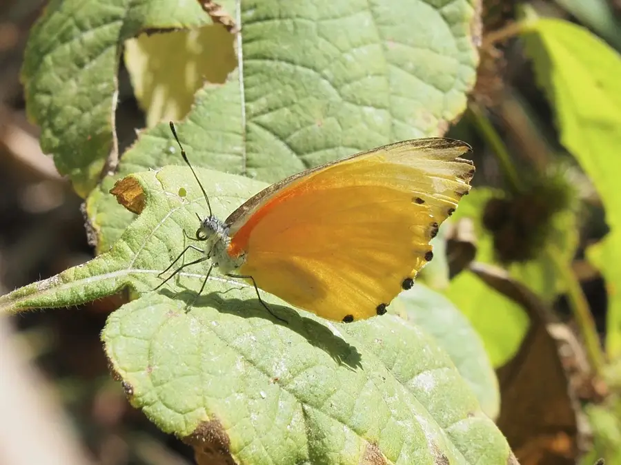
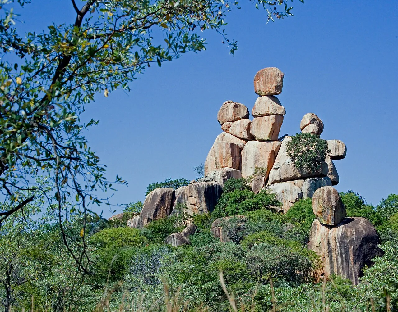
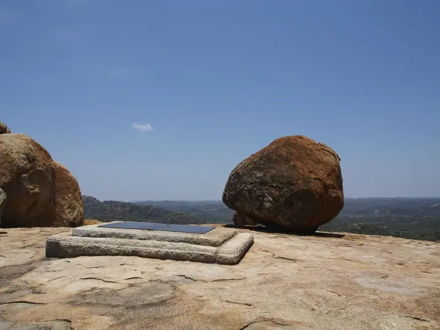
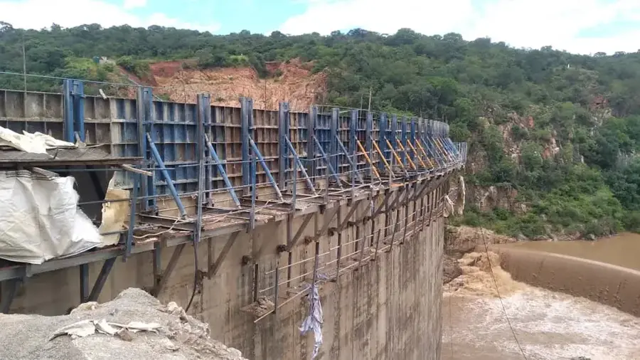
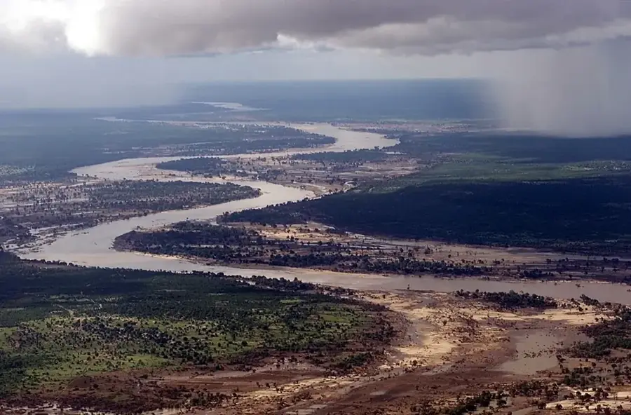
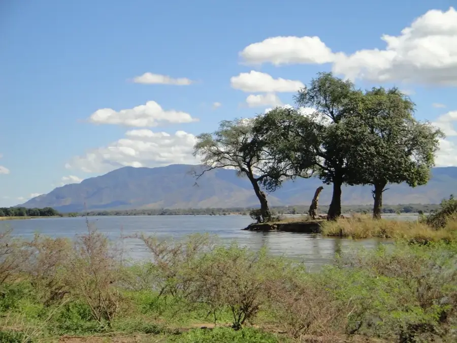
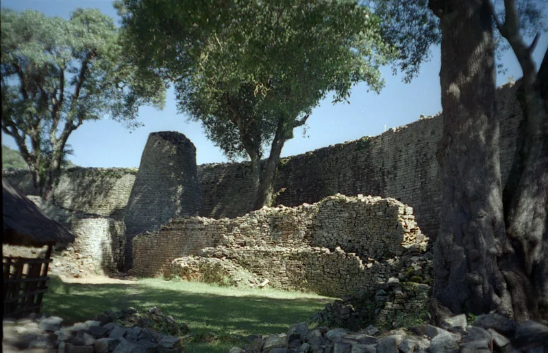
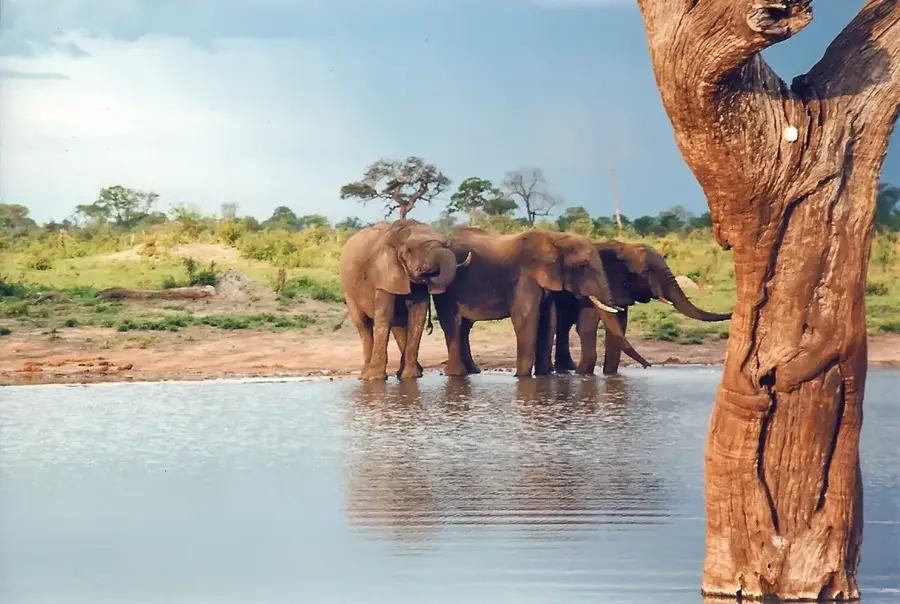
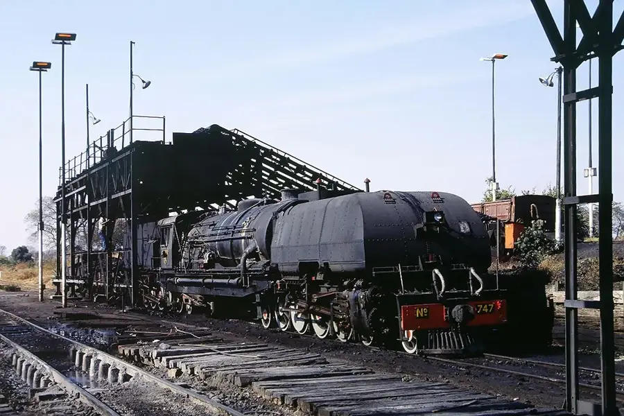
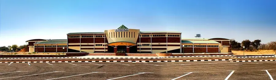
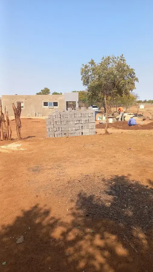
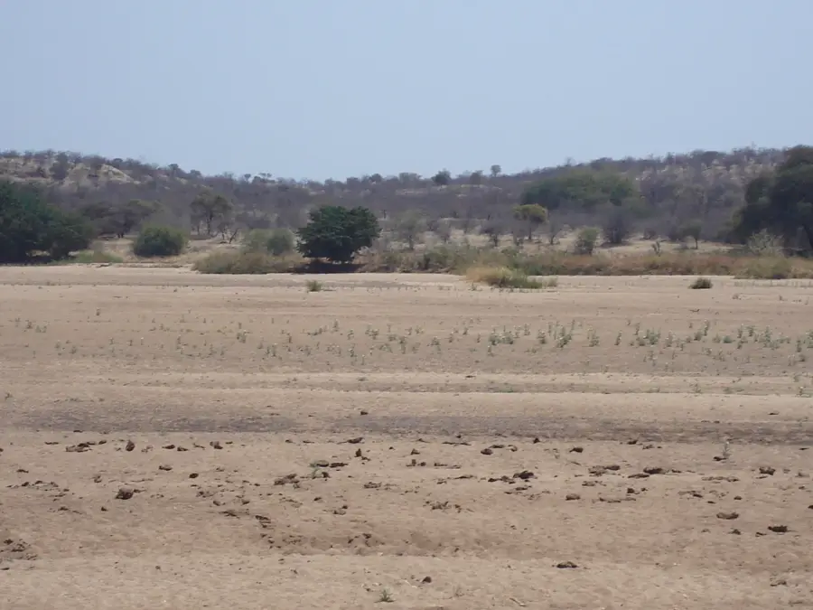
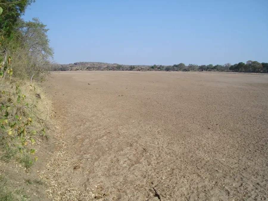
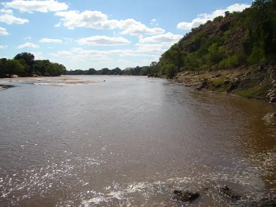
The Bulawayo Plateau is a prominent elevation in western Zimbabwe, forming the southwestern extension of the central Highveld. Situated at an average altitude of about 1350 meters, this region enjoys a more temperate climate than the surrounding lower-lying valleys, making it a favored settlement area historically and at present. The plateau forms the geographical center of the Matabeleland province and is home to Bulawayo, the country's second-largest city, known for its broad avenues and colonial architecture. The landscape of the plateau is characterized by open tree and shrub savanna, interspersed with cattle ranches and agricultural lands. Because the region is relatively flat, the topographical conditions facilitate infrastructure, which is why Bulawayo historically became Zimbabwe's most important railway hub. The plateau also serves as an important watershed, from which rivers flow both north to the Zambezi and south to the Limpopo.
- Location: Zimbabwe
- Nearby: Inyati (50 km)
Best time to visit & climate
The most pleasant time to visit is Apr, Aug, Sep.
| Jan | Feb | Mar | Apr | May | Jun | Jul | Aug | Sep | Oct | Nov | Dec | |
|---|---|---|---|---|---|---|---|---|---|---|---|---|
| Avg °C | 23 | 22 | 21 | 19 | 17 | 14 | 14 | 17 | 21 | 24 | 24 | 23 |
| Rain mm | 126 | 120 | 79 | 31 | 6 | 3 | 2 | 1 | 7 | 27 | 83 | 144 |
📋 Practical info
Geography
Explore nearby
Notable places around
Route planner — Car & Motorhome
Where do you start? We build the route here, with stops and country notes along the way.
© OpenStreetMap contributors · OpenRouteService
Sights nearby
Frequently asked questions
What is the Bulawayo-Plateau?
How much time should one plan for exploration?
Is the region family-friendly?
What is the best way to travel there?
Are there local specialties?
Bulawayo Plateau: where is it located?
Bulawayo Plateau: when is the best time to visit?
Bulawayo Plateau: why is it worth visiting?

Nearby cities
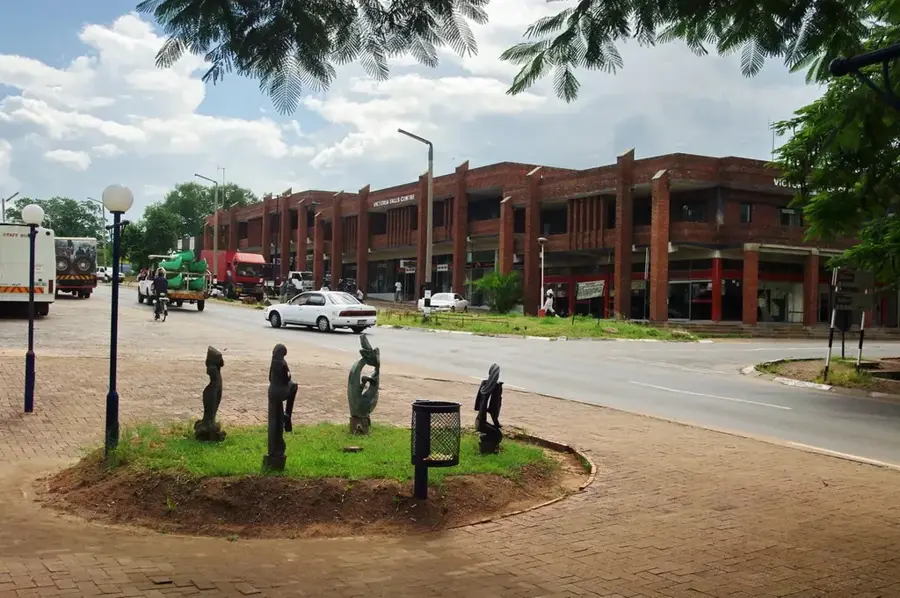

History & landmarks
Nature
More places