Plizio Visual Lab
Muchinga Mountains

Weather…
Water temperature…
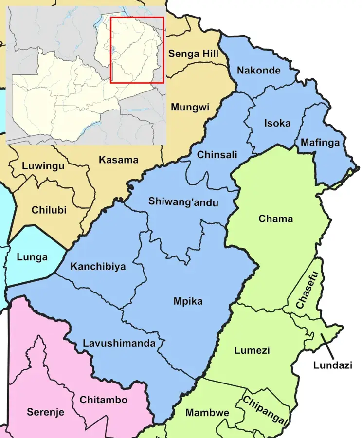
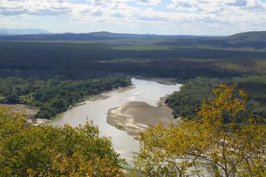
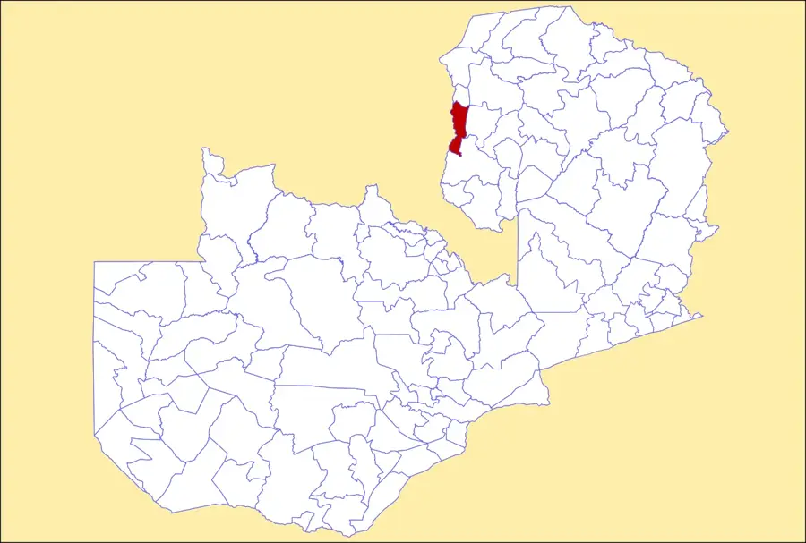
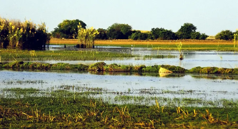
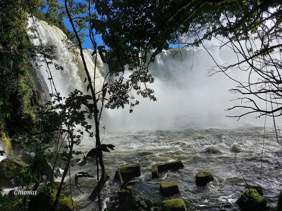
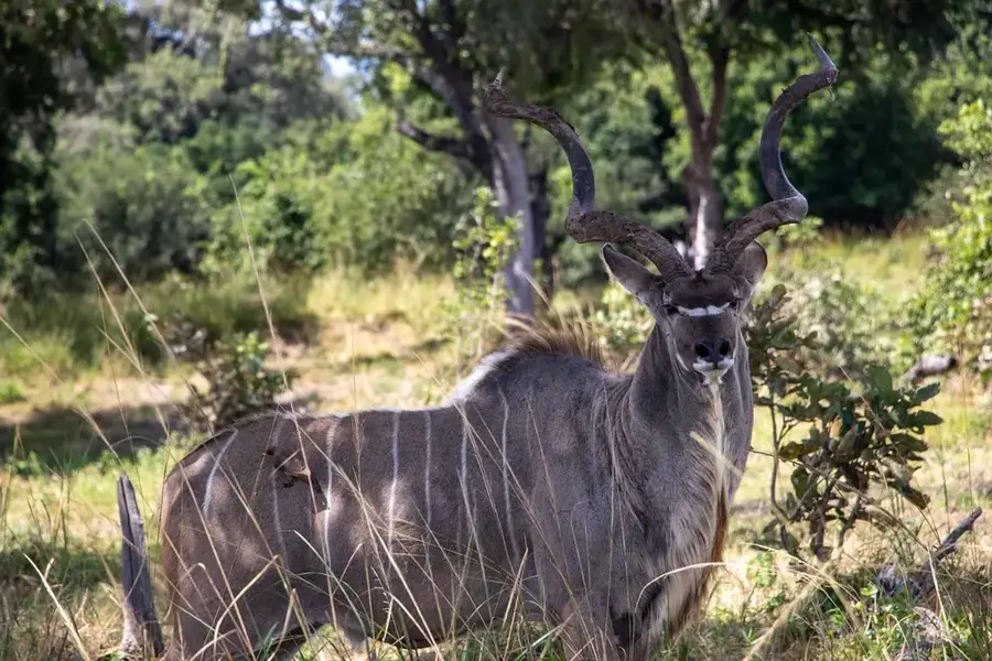
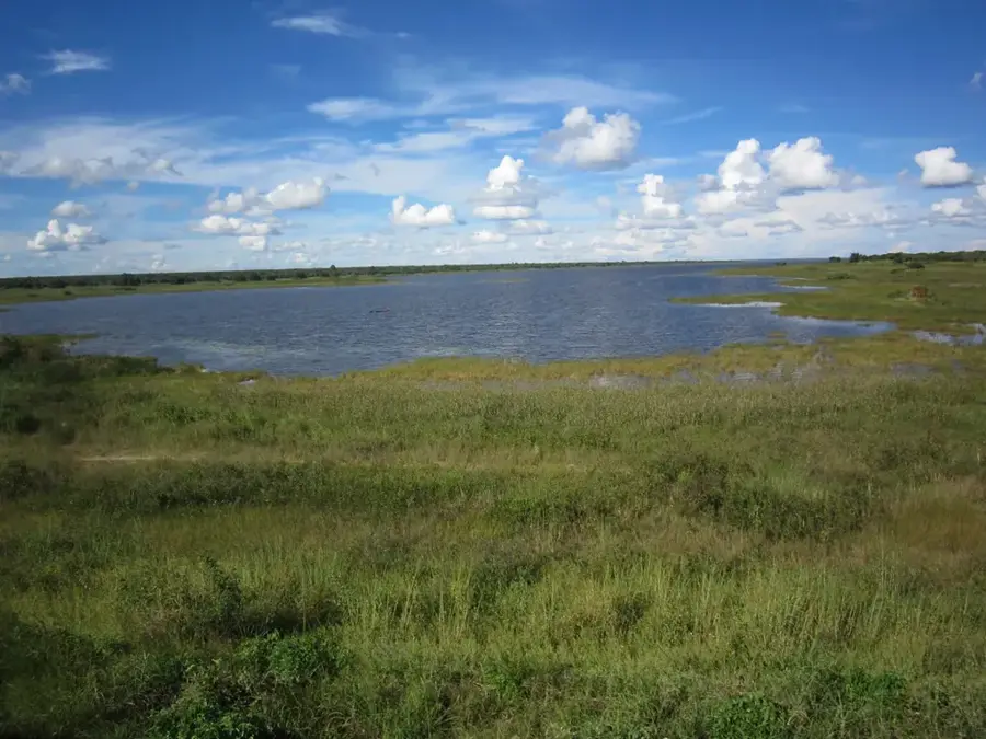
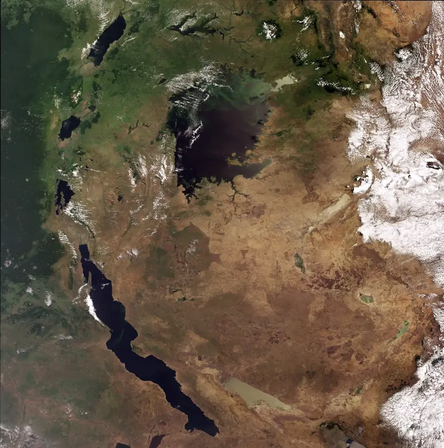
The Muchinga Mountains are a narrow, rugged mountain range in northeastern Zambia, extending for about 400 kilometers in a northeast-southwest direction. They serve as a primary watershed, dividing the drainage basins of the Congo River to the north and the Zambezi River to the south. Geologically, the range forms a spectacular escarpment that drops steeply into the Luangwa Rift Valley, marking the edge of the central African plateau. The highest peaks in the range exceed 2,100 meters, with the Mafinga Hills area containing some of the highest elevations in the country. The eastern face of the mountains is particularly precipitous, characterized by deep gorges and sharp ridges, while the western side slopes gently toward the interior plateau. Due to their elevation, the Muchingas experience higher rainfall than the surrounding lowlands, supporting dense Miombo woodlands and montane grasslands. Historically, the mountains acted as a significant geographical barrier, influencing migration patterns and the development of local cultures. Today, they remain an essential source region for many of the perennial streams that sustain the Luangwa ecosystem.
- Location: Zambia
- Nearby: Shiwang'andu (35 km)
Best time to visit & climate
The most pleasant time to visit is May, Aug, Sep.
| Jan | Feb | Mar | Apr | May | Jun | Jul | Aug | Sep | Oct | Nov | Dec | |
|---|---|---|---|---|---|---|---|---|---|---|---|---|
| Avg °C | 21 | 21 | 21 | 20 | 18 | 17 | 17 | 19 | 22 | 25 | 24 | 22 |
| Rain mm | 277 | 213 | 173 | 52 | 7 | 2 | 2 | 1 | 3 | 15 | 107 | 248 |
📋 Practical info
Geography
Facts
- The range is the major watershed between the Congo and Zambezi basins.
- The highest point is located in the Mafinga Hills at over 2,100 meters.
- The mountains stretch for roughly 400 kilometers across NE Zambia.
- The escarpment drops more than 1,000 meters into the Luangwa Valley.
- The mountains are primarily composed of ancient crystalline basement rocks.
- They create a rain-shadow effect, influencing the climate of the interior.
Explore nearby
Notable places around
Route planner — Car & Motorhome
Where do you start? We build the route here, with stops and country notes along the way.
© OpenStreetMap contributors · OpenRouteService
Sights nearby
Frequently asked questions
Are the Muchinga Mountains suitable for hiking?
Do I need a guide?
Are there huts there?
How is the weather in the mountains?
What is a destination nearby?
Muchinga Mountains: where is it located?
Muchinga Mountains: when is the best time to visit?
Muchinga Mountains: why is it worth visiting?

Nearby cities

History & landmarks
Nature
More places