Plizio Visual Lab
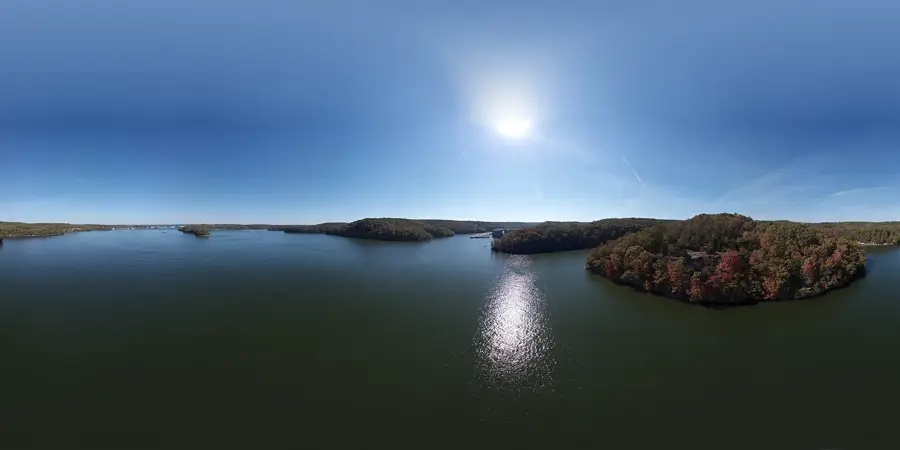
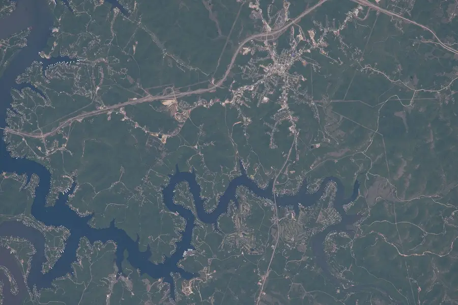
Ozark Plateau
Weather…
Water temperature…
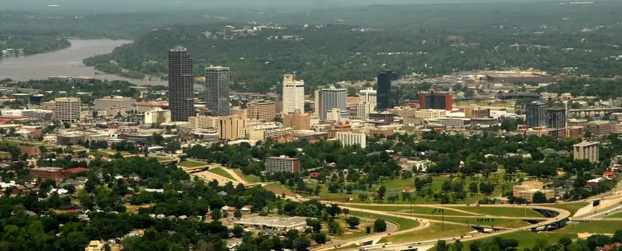
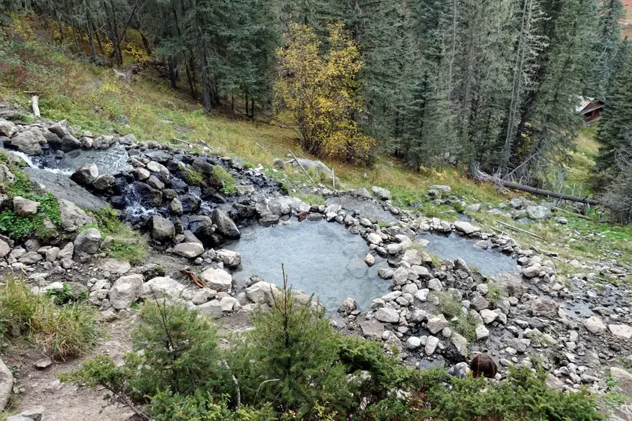
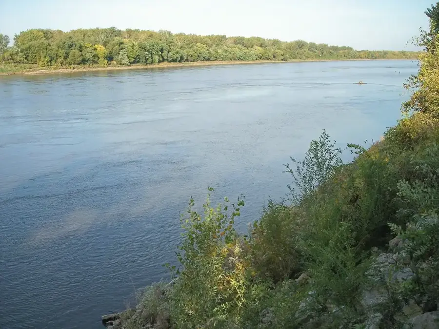
The Ozark Plateau, commonly known as the Ozark Mountains, is a significant physiographic and cultural region in the Central United States, covering parts of Missouri, Arkansas, Oklahoma, and Kansas. Geologically, it is a deeply dissected plateau that was uplifted millions of years ago, rather than a range formed by folding or volcanism. The landscape is characterized by rugged hills, dense hardwood forests, and a remarkable karst topography featuring thousands of caves and high-volume springs. Historically, the area's isolation due to its difficult terrain fostered a distinct regional culture and musical heritage tied to early pioneer traditions. Today, the Ozarks are a major destination for outdoor recreation, famous for clear-water streams like the Buffalo National River and large reservoirs such as the Lake of the Ozarks. The region remains ecologically important, providing sanctuary for diverse wildlife and preserving some of the oldest exposed rock formations in the North American interior.
- Location: United States
- Nearby: Lake of the Ozarks (18 km)
Best time to visit & climate
The most pleasant time to visit is Jun, Aug, Sep.
| Jan | Feb | Mar | Apr | May | Jun | Jul | Aug | Sep | Oct | Nov | Dec | |
|---|---|---|---|---|---|---|---|---|---|---|---|---|
| Avg °C | 0 | 2 | 8 | 13 | 18 | 23 | 26 | 25 | 21 | 14 | 7 | 2 |
| Rain mm | 70 | 79 | 117 | 138 | 144 | 103 | 109 | 107 | 96 | 108 | 95 | 78 |
📋 Practical info
Geography
Facts
- Covers an area of approximately 120,000 square kilometers.
- Geologically, it is an uplifted and deeply dissected plateau.
- Home to more than 7,000 documented caves in its karst landscape.
- The Buffalo National River was the first national river in the USA.
- A historically significant region for lead and zinc mining.
- Known for its distinct "Ozark" cultural heritage and folk music.
Explore nearby
Notable places around
Route planner — Car & Motorhome
Where do you start? We build the route here, with stops and country notes along the way.
© OpenStreetMap contributors · OpenRouteService
Sights nearby
Frequently asked questions
When is the best time to travel?
Are there caves there?
Is the region family-friendly?
What can you do here?
Is there public transport?
Ozark Plateau: where is it located?
Ozark Plateau: when is the best time to visit?
Ozark Plateau: why is it worth visiting?

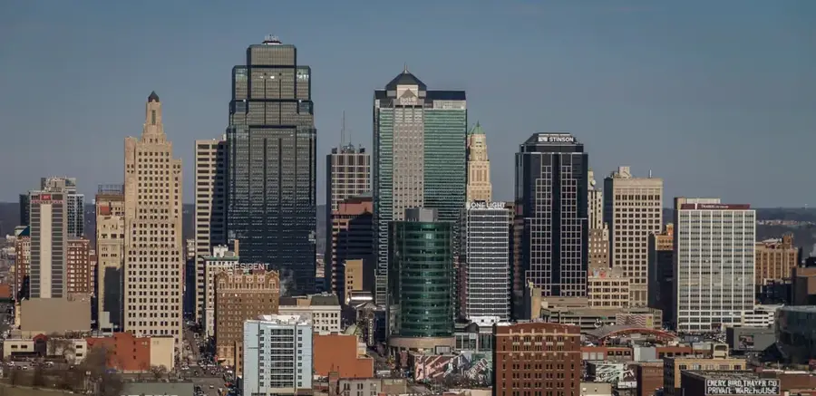
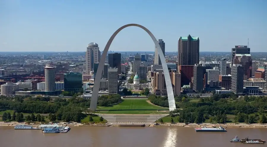
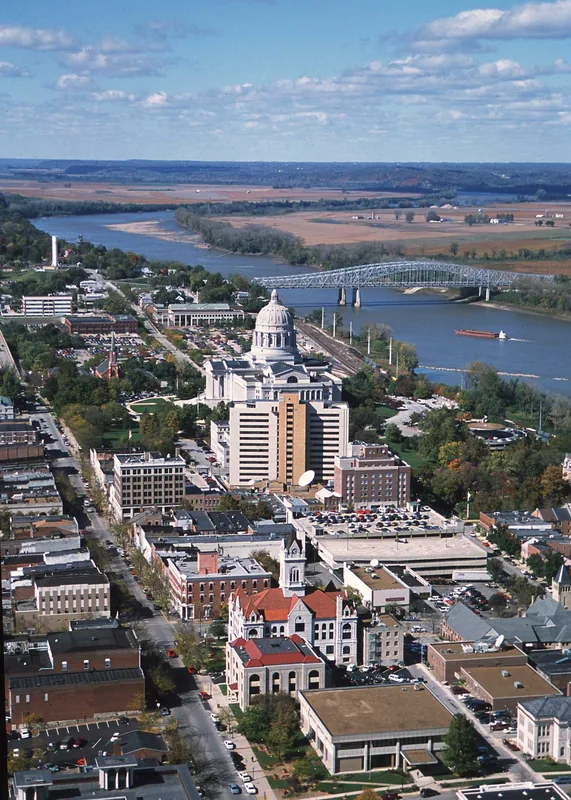
Nearby cities