Plizio Visual Lab
Missouri River
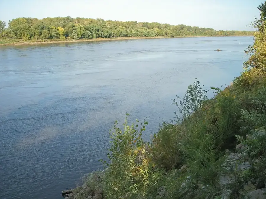
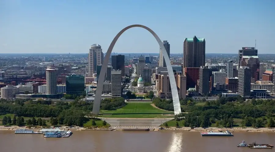
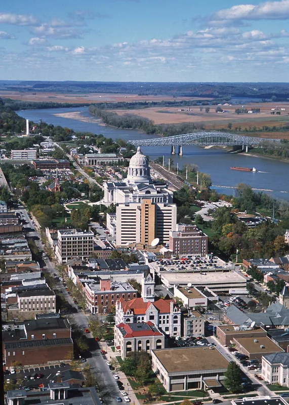
The Missouri River is the absolute longest river in North America, flowing a massive 2,341 miles from its origins in the high Rocky Mountains of western Montana down to its confluence with the Mississippi River near St. Louis. It historically served as a profoundly critical massive transportation corridor, famously utilized by the Lewis and Clark expedition in 1804. The river carries a massive, incredibly heavy sediment load, earning it the moniker 'Big Muddy', which naturally created a highly dynamic, constantly shifting floodplain. During the 20th century, the federal government enacted the Pick-Sloan Plan, completely transforming the river through the construction of six massive, highly engineered main-stem dams to control severe flooding and generate hydroelectric power.
- Location: United States
- Top sights: Avis Spiralis · Lewis & Clark Confluence Tower · Mississippi & Missouri River Confluence Point
- Nearby: Memphis (6 km)
Best time to visit & climate
The most pleasant time to visit is Jun, Aug, Sep.
| Jan | Feb | Mar | Apr | May | Jun | Jul | Aug | Sep | Oct | Nov | Dec | |
|---|---|---|---|---|---|---|---|---|---|---|---|---|
| Avg °C | -2 | 0 | 6 | 13 | 18 | 23 | 25 | 25 | 21 | 13 | 6 | 1 |
| Rain mm | 61 | 61 | 84 | 116 | 127 | 113 | 101 | 95 | 80 | 92 | 79 | 71 |
📋 Practical info
Geography
Facts
- The absolute longest river completely within North America at 2,341 miles.
- Carries an incredibly massive, highly characteristic sediment load.
- Served as the primary massive route for the 1804 Lewis and Clark expedition.
- Heavily controlled by six massive, highly engineered federal dams.
- Drains a massive, vast watershed encompassing one-sixth of the US.
- Historically supported massive, highly lucrative steamboat commerce.
Explore nearby
Notable places around
Route planner — Car & Motorhome
Where do you start? We build the route here, with stops and country notes along the way.
© OpenStreetMap contributors · OpenRouteService
Sights in the town Missouri River (15)
Sights nearby
Frequently asked questions
How long is the river?
Can you go canoeing?
Are there historic routes?
Is the river navigable?
When is the current strongest?
Missouri River: where is it located?
Missouri River: what is there to see?
Missouri River: when is the best time to visit?
Missouri River: why is it worth visiting?

Nearby cities