Plizio Visual Lab
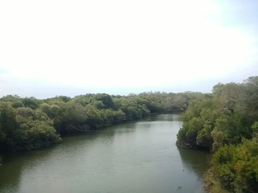
Queguay River
Weather…
Water temperature…
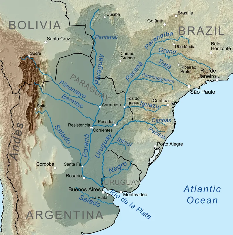
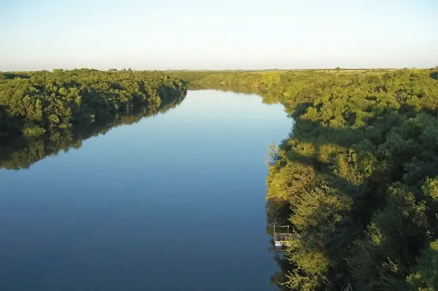
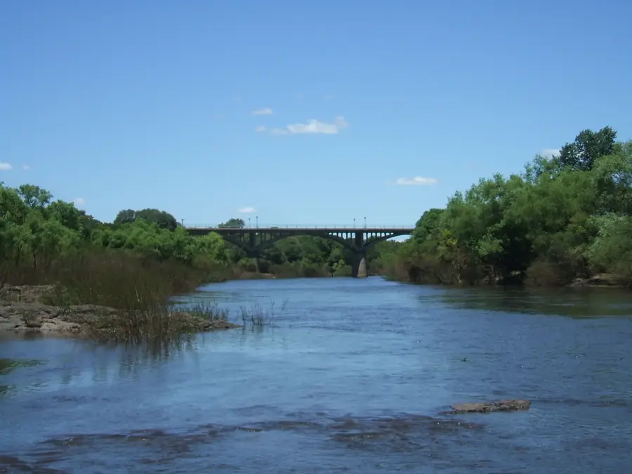
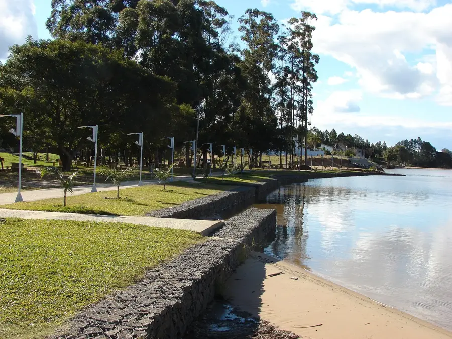
The Queguay River is another significant tributary of the Uruguay River, flowing entirely within the Paysandú Department. It has a length of approximately 280 kilometers, making it one of the longest rivers that run exclusively within Uruguayan territory. Its source is in the Cuchilla de Haedo, and it meanders westward through a landscape dominated by cattle ranching and agriculture. In 2014, a large area around the river, known as Montes del Queguay, was incorporated into the National System of Protected Areas (SNAP). This protected area covers around 50,000 hectares and safeguards one of the country's largest assemblages of gallery forests. These forests are crucial for biodiversity conservation, including endangered species like the giant otter and the marsh deer. The name 'Queguay' also has Guaraní origins and is often interpreted as 'river where dreams converge'.
- Location: Uruguay
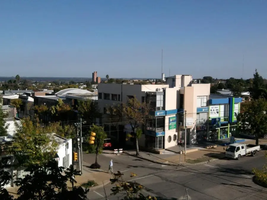
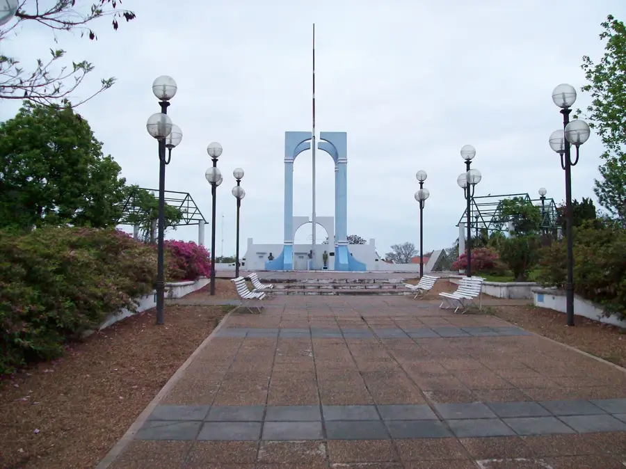
- Top sights: Molino Forclaz · Museo Històrico Regional de la Colonia de San José · Museo de Ciencias Naturales Guillermo Goméz Cadret
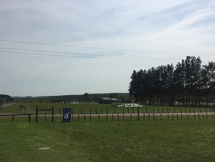
- Nearby: Termas de Guaviyú (34 km)
Best time to visit & climate
The most pleasant time to visit is Mar, Apr, Nov.
| Jan | Feb | Mar | Apr | May | Jun | Jul | Aug | Sep | Oct | Nov | Dec | |
|---|---|---|---|---|---|---|---|---|---|---|---|---|
| Avg °C | 26 | 25 | 22 | 19 | 15 | 12 | 11 | 13 | 15 | 18 | 21 | 24 |
| Rain mm | 128 | 148 | 125 | 148 | 100 | 67 | 50 | 84 | 92 | 145 | 124 | 137 |
📋 Practical info
Geography
Facts
- The river has a length of approximately 280 kilometers.
- It flows entirely within the Paysandú Department.
- The Montes del Queguay protected area was established in 2014.
- The protected area covers around 50,000 hectares.
- It is home to endangered species like the giant otter.
- The name 'Queguay' is of Guaraní origin.
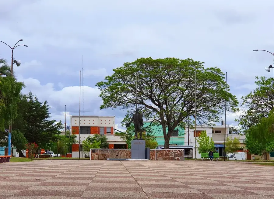
Explore nearby
Notable places around
Route planner — Car & Motorhome
Where do you start? We build the route here, with stops and country notes along the way.
© OpenStreetMap contributors · OpenRouteService
Sights in the town Queguay River (10)
Sights nearby
Frequently asked questions
Is the Río Queguay a nature reserve?
Can you kayak here?
What is the best time for wildlife viewing?
Are there guided tours?
Is camping allowed by the river?
Queguay River: where is it located?
Queguay River: what is there to see?
Queguay River: when is the best time to visit?
Queguay River: why is it worth visiting?

Nearby cities

Nature
More places