Plizio Visual Lab
Dahar Plateau
Weather…
Water temperature…
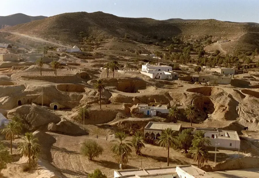
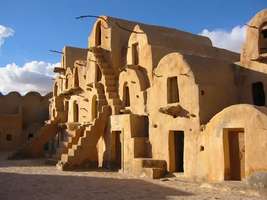
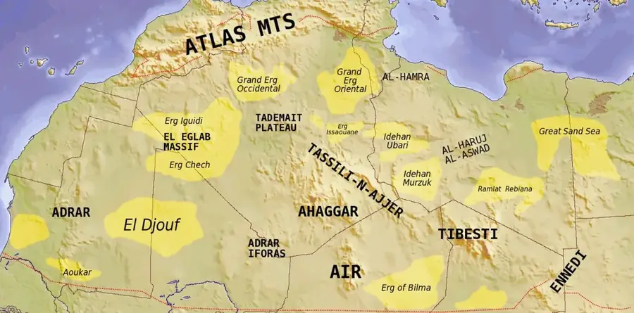
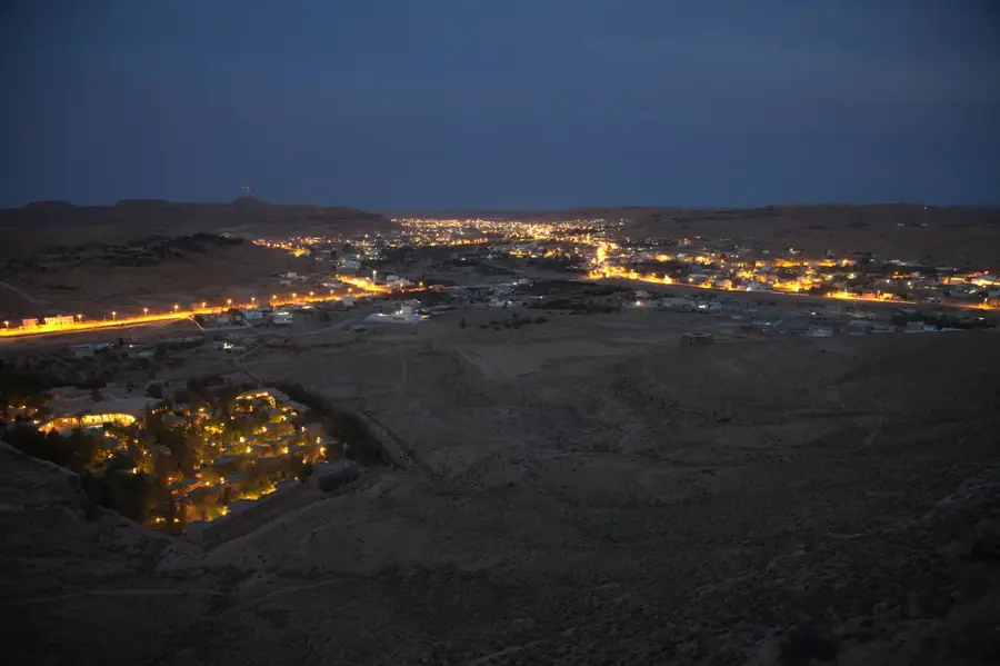
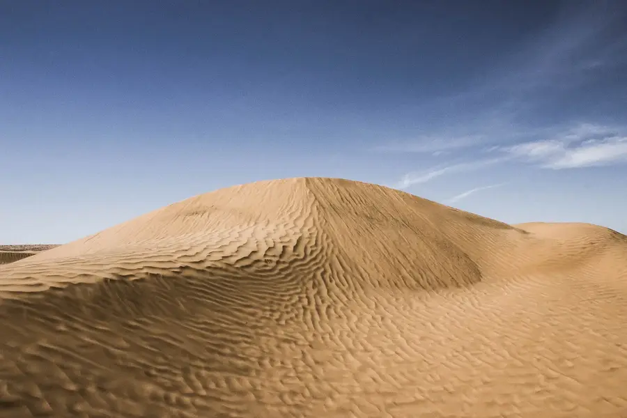
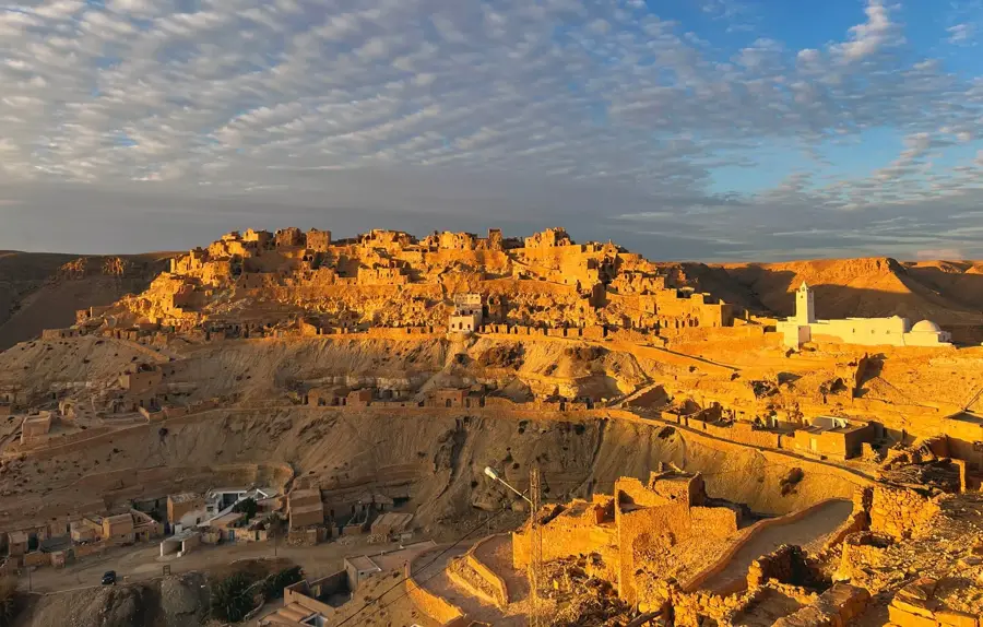
The Dahar Plateau is a semi-desert limestone highland in southeastern Tunisia, situated between the Djeffara coastal plain and the Grand Erg Oriental. This distinctive cuesta landscape is characterized by steep escarpments to the east and a gentle slope towards the west. The region is globally renowned for its unique architecture, particularly the troglodyte dwellings of Matmata, which provide shelter from extreme temperatures. Historically, the plateau was inhabited by Berbers who built fortified granaries, known as ksour, to protect their harvests from raids. Vegetation is sparse, consisting mainly of drought-resistant grasses and shrubs. Geologically, the Dahar Plateau provides significant paleontological sites, including dinosaur fossils from the Cretaceous period. The raw beauty of the landscape and the cultural depth of Berber traditions make the plateau one of North Africa's most fascinating geographical regions.
- Location: Tunisia
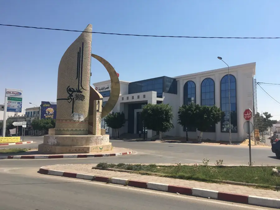
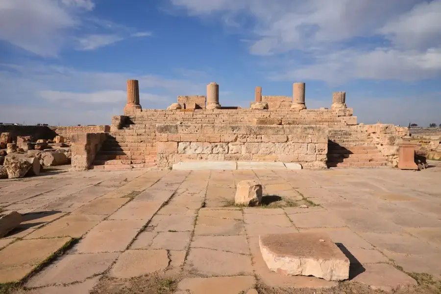
- Top sights: Bir Miteur ruines · Henchir Gdiss · El Souima ruines
- Nearby: Ksar Ghilane (67 km)
Best time to visit & climate
The most pleasant time to visit is Apr, May, Oct.
| Jan | Feb | Mar | Apr | May | Jun | Jul | Aug | Sep | Oct | Nov | Dec | |
|---|---|---|---|---|---|---|---|---|---|---|---|---|
| Avg °C | 10 | 11 | 15 | 19 | 23 | 27 | 30 | 30 | 27 | 23 | 16 | 11 |
| Rain mm | 12 | 17 | 21 | 13 | 11 | 3 | 0 | 2 | 22 | 24 | 33 | 26 |
📋 Practical info
Geography
Facts
- The Dahar Plateau is a geological cuesta formation.
- The troglodyte houses of Matmata are located on this plateau.
- Ksour are the traditional fortified granaries of the region.
- Dinosaur fossils have been found in the sediments here.
- The plateau reaches elevations of up to 700 meters.
- It forms the border with the Grand Erg Oriental sand desert.
Explore nearby
Notable places around
Route planner — Car & Motorhome
Where do you start? We build the route here, with stops and country notes along the way.
© OpenStreetMap contributors · OpenRouteService
Sights in the town Dahar Plateau (3)
Sights nearby
Frequently asked questions
When is the best time to visit the Dahar Plateau?
Is a 4WD vehicle necessary to get there?
What is special about this region?
Are there any accommodations there?
How much time should one plan for the plateau?
Dahar Plateau: where is it located?
Dahar Plateau: what is there to see?
Dahar Plateau: when is the best time to visit?
Dahar Plateau: why is it worth visiting?

Nearby cities
History & landmarks
More places