Plizio Visual Lab
South Laclo River
Weather…
Water temperature…
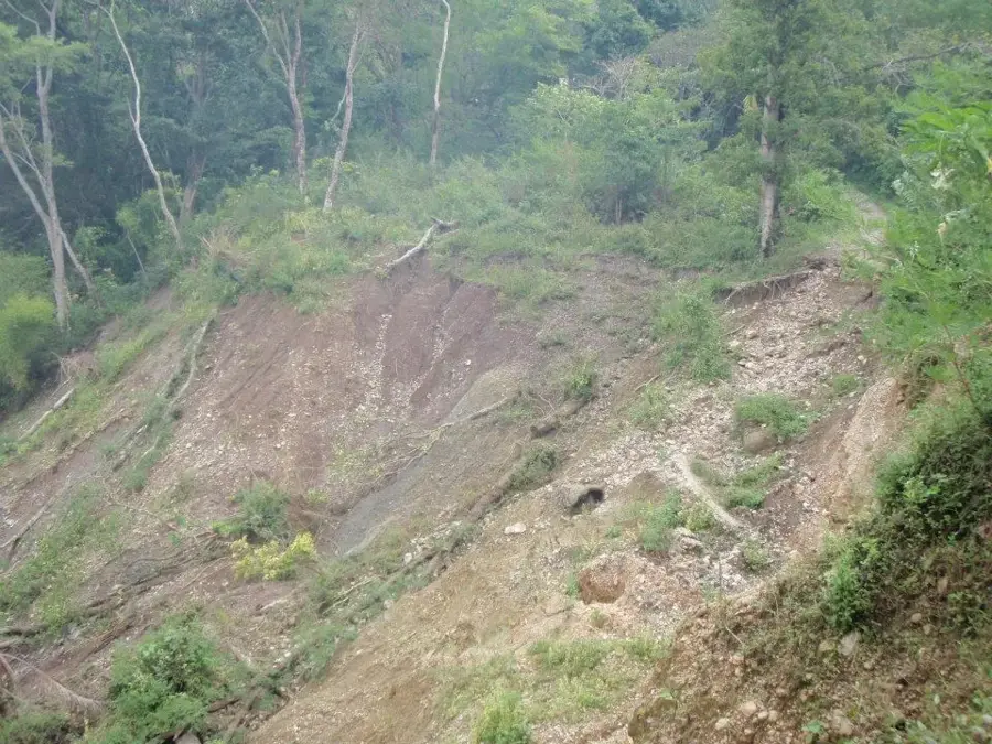
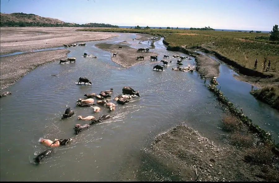
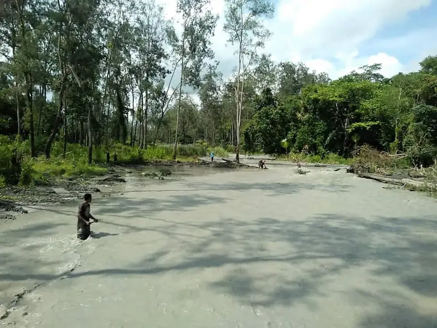
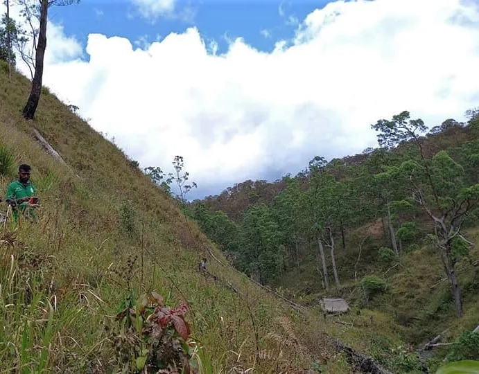
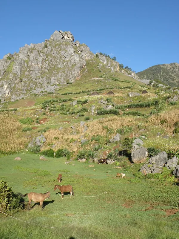
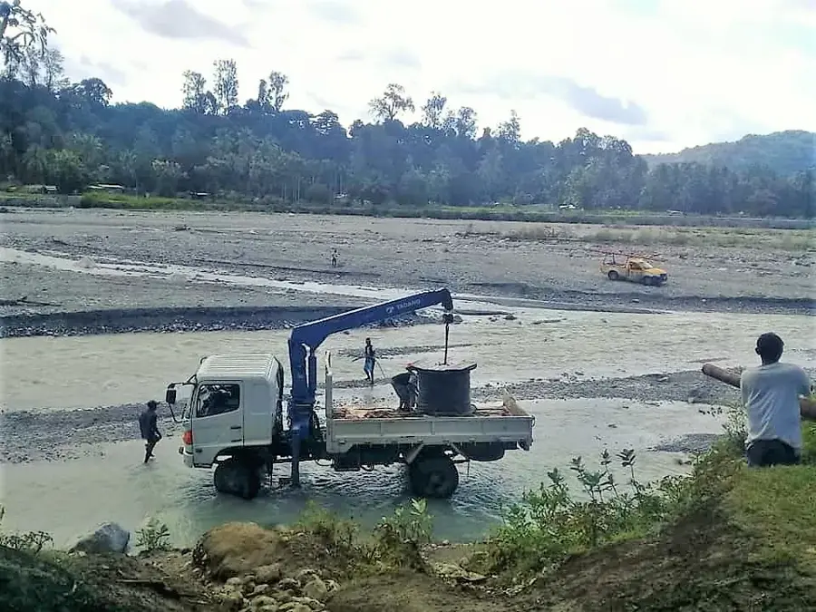
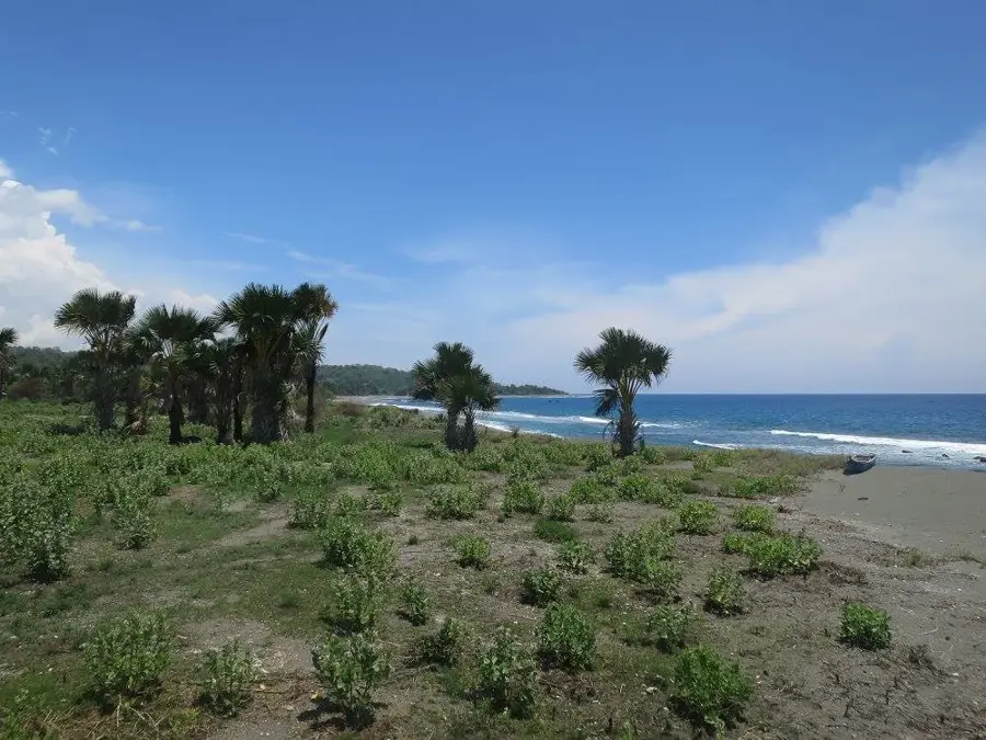
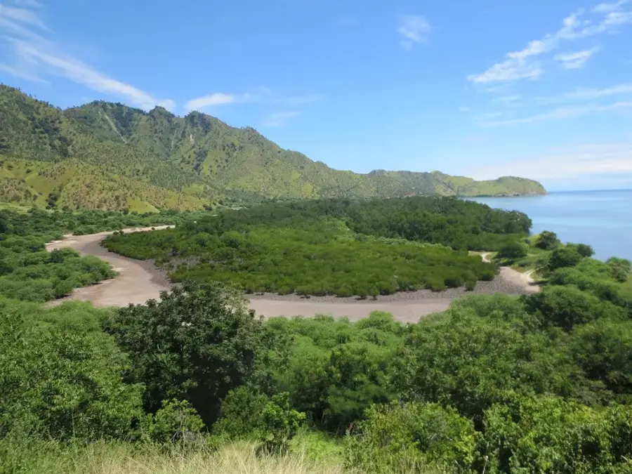
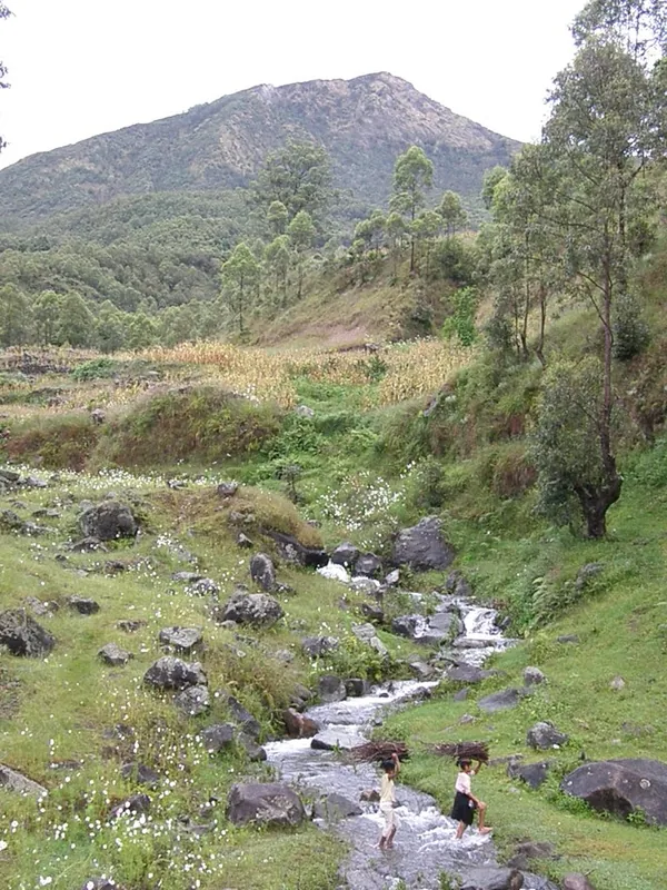
The South Laclo River, also known as Rio Laclo do Sul, is a significant river system that drains the southern part of Timor-Leste's central mountain range. It originates in the high altitudes of the Manatuto District and flows southward to eventually empty into the Timor Sea. The river is characterized by a steep gradient in its upper reaches and the formation of fertile valleys used for cultivating local crops. Unlike its northern counterpart, the area around the South Laclo is defined by a longer rainy season and denser tropical vegetation along its banks. The river plays a crucial role in the ecology of the southern coastal plain and serves as a vital water source for local communities. During monsoon months, the South Laclo can reach dangerous water levels, frequently challenging the region's infrastructure. Its pristine sections host a variety of freshwater species and provide habitats for numerous endemic birds.
- Location: Timor-Leste
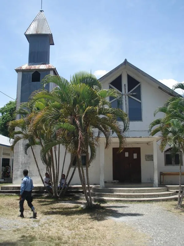
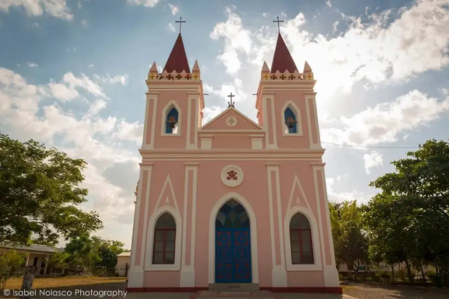
- Top sights: Estatua Sao Miguel · Convento OFM Fatuberliu · Koventu FSGM
- Nearby: Fatuberlio (12 km)
Best time to visit & climate
The most pleasant time to visit is Jul–Sep.
| Jan | Feb | Mar | Apr | May | Jun | Jul | Aug | Sep | Oct | Nov | Dec | |
|---|---|---|---|---|---|---|---|---|---|---|---|---|
| Avg °C | 28 | 28 | 28 | 27 | 27 | 26 | 25 | 25 | 26 | 27 | 29 | 29 |
| Rain mm | 204 | 174 | 117 | 60 | 48 | 29 | 14 | 5 | 6 | 11 | 52 | 153 |
📋 Practical info
Geography
Facts
- The river originates in the central highlands of Manatuto.
- It flows into the Timor Sea on the island's southern coast.
- The South Laclo has a steeper gradient than the North Laclo.
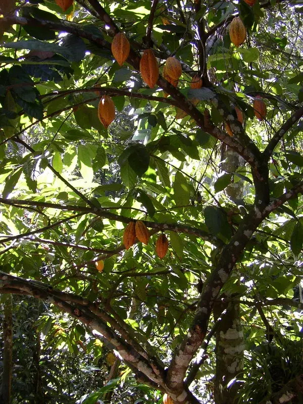
- The valley is noted for its biodiversity of dragonflies and birds.
- Annual discharge is high due to significant rainfall in the catchment.
- The river is an important resource for local subsistence fishing.
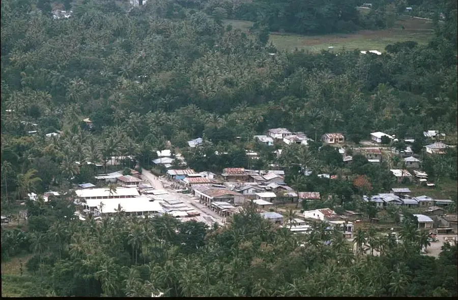
Explore nearby
Notable places around
Route planner — Car & Motorhome
Where do you start? We build the route here, with stops and country notes along the way.
© OpenStreetMap contributors · OpenRouteService
Sights in the town South Laclo River (4)
Sights nearby
Frequently asked questions
How is the current in the southern Lacló?
Can you fish in the river?
Is there tourist infrastructure there?
What is the best time for a trip?
Are hiking boots necessary?
South Laclo River: where is it located?
South Laclo River: what is there to see?
South Laclo River: when is the best time to visit?
South Laclo River: why is it worth visiting?

Nearby cities

History & landmarks
Nature
More places