Plizio Visual Lab
Lóis River
Weather…
Water temperature…
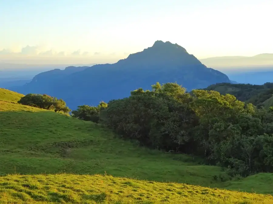
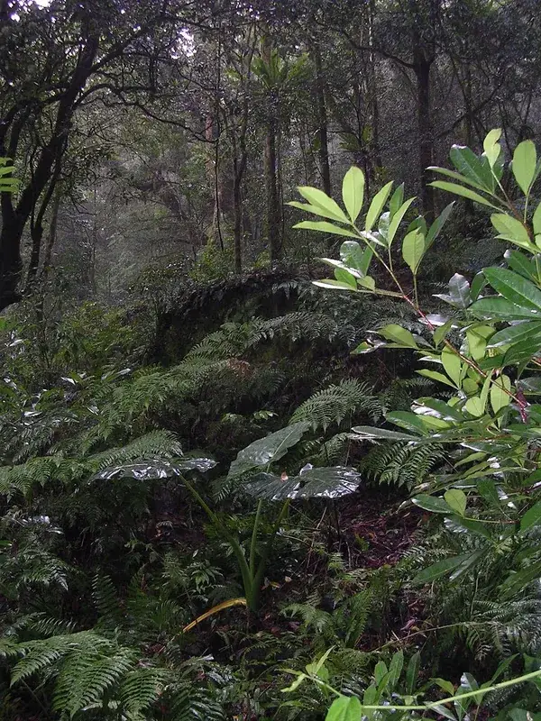
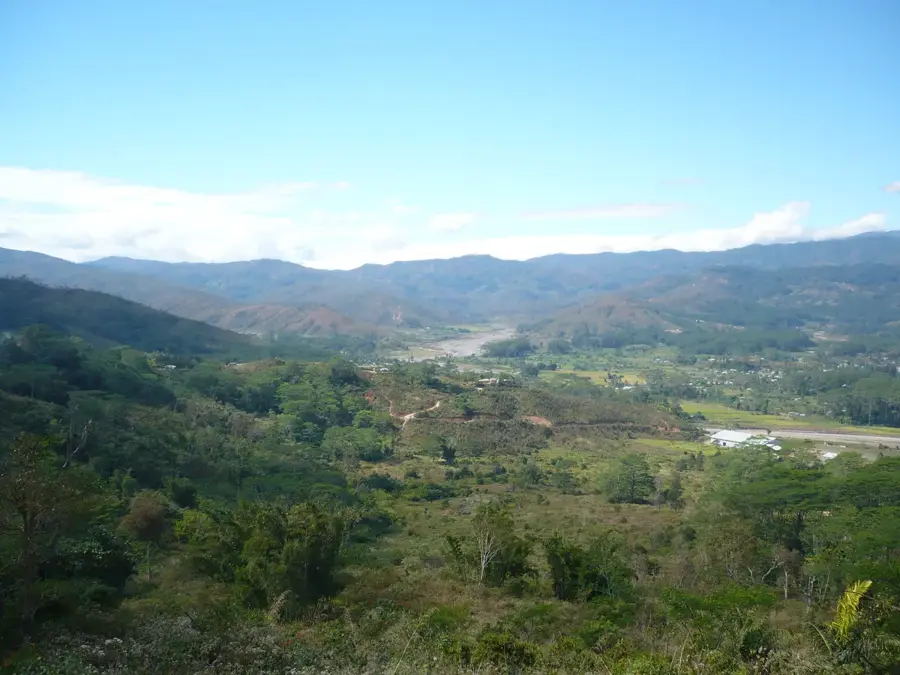
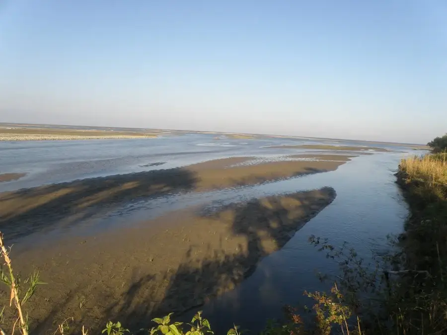
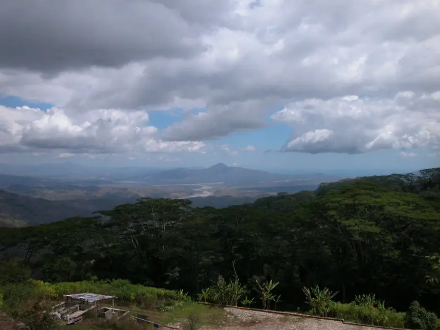
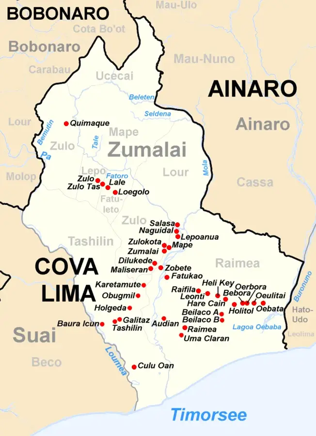
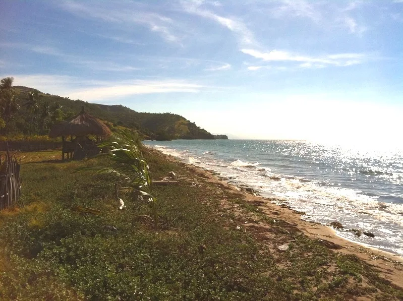
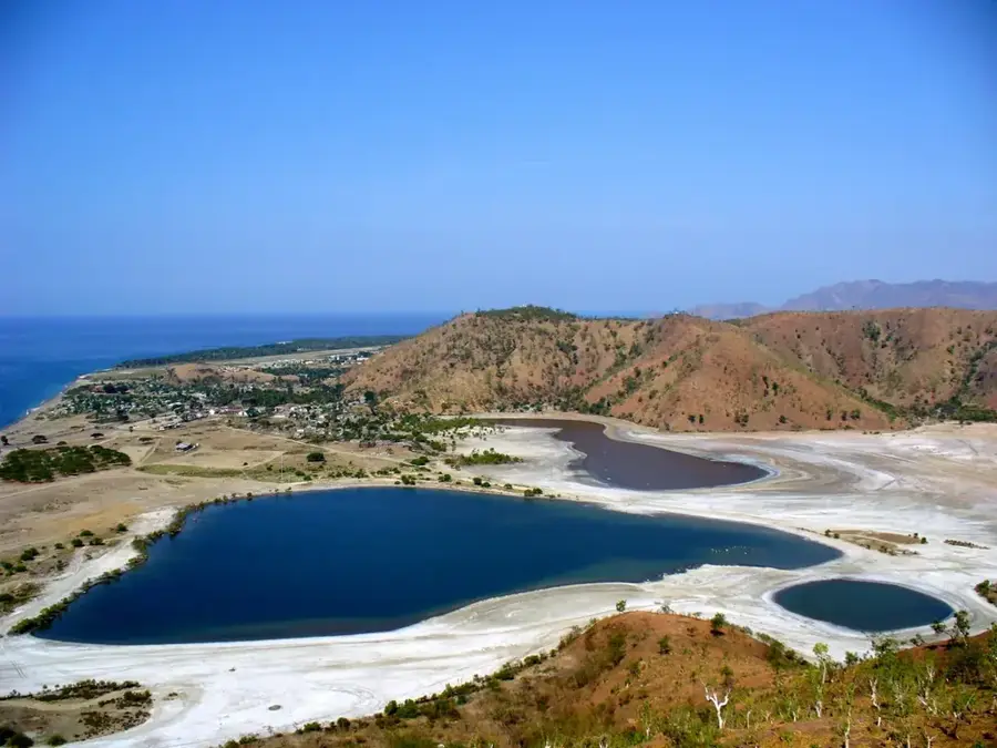
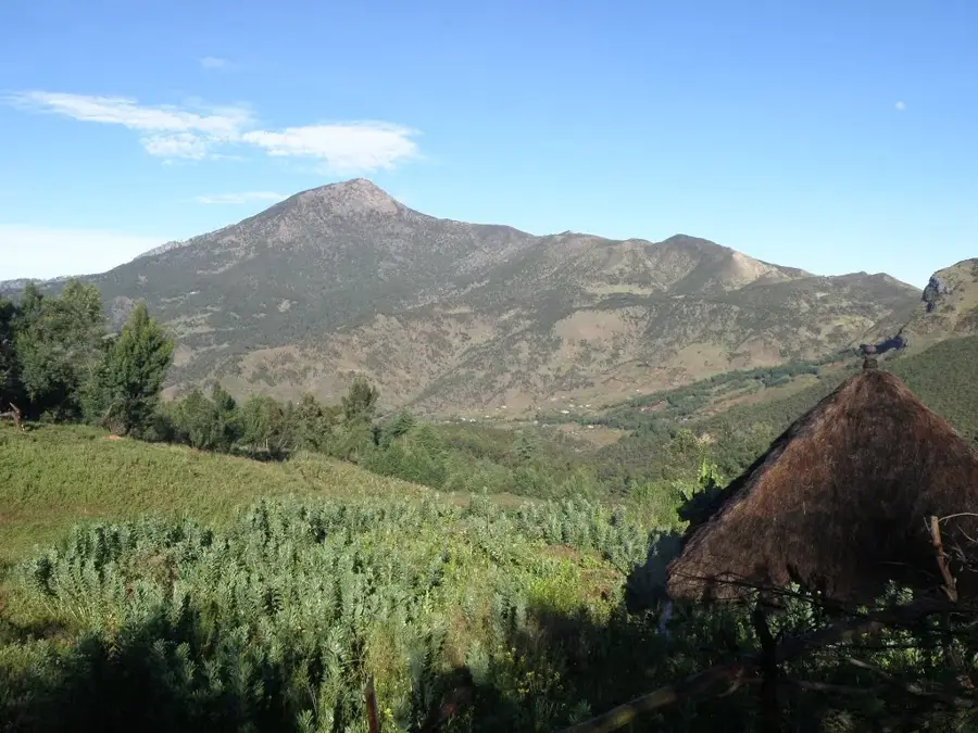
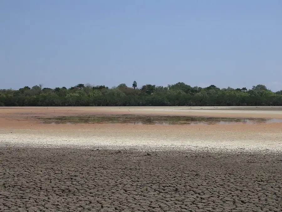
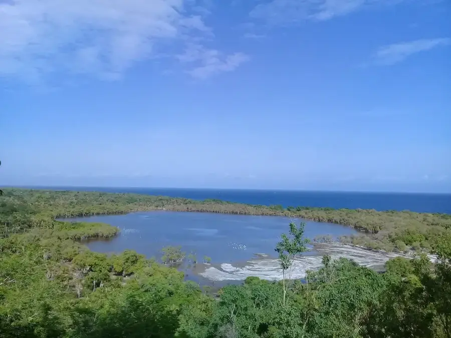
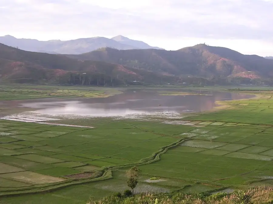
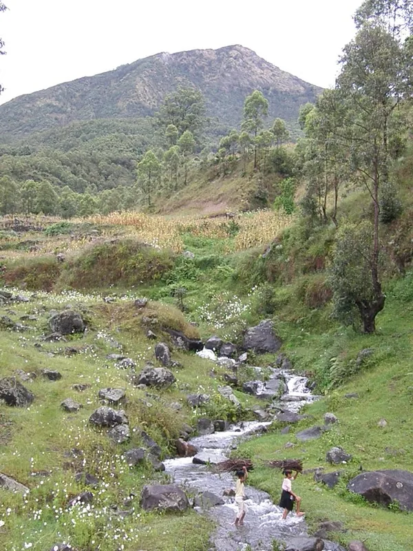
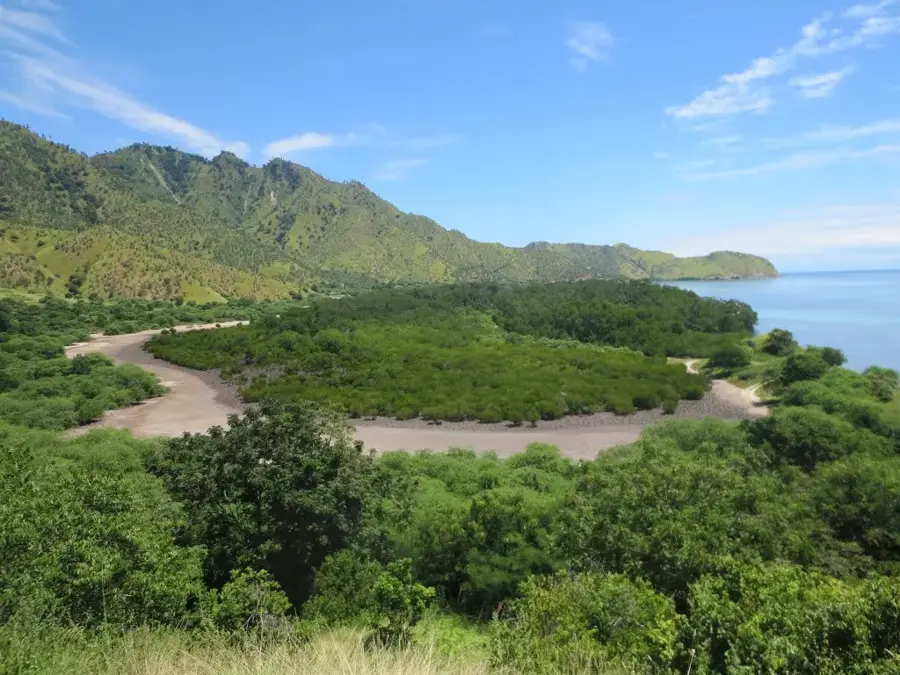
The Lóis River is one of the longest and most significant rivers in Timor-Leste, draining much of the western part of the island. Originating in the central highlands, it flows for approximately 80 kilometers before emptying into the Sawu Sea. The river basin is a crucial agricultural resource, providing essential irrigation for extensive rice paddies and plantations in the Liquiçá and Bobonaro districts. Geographically, the Lóis is distinguished by its wide, braided riverbed, which carries vast volumes of water and sediment during the monsoon season. These sediments help fertilize the coastal plains but can also cause significant erosion and infrastructure damage during floods. Dense gallery forests line its banks, providing important habitats for local wildlife and maintaining riverbank stability. The river is a lifeline for local communities, used for fishing, domestic needs, and small-scale transport. Historically, the Lóis often acted as a natural boundary between various traditional kingdoms on the island. Sustainable management of the river system is vital for the region's long-term agricultural productivity and environmental health.
- Location: Timor-Leste
- Nearby: Liquiçá (22 km)
Best time to visit & climate
The most pleasant time to visit is Jul–Sep.
| Jan | Feb | Mar | Apr | May | Jun | Jul | Aug | Sep | Oct | Nov | Dec | |
|---|---|---|---|---|---|---|---|---|---|---|---|---|
| Avg °C | 27 | 27 | 27 | 28 | 28 | 27 | 26 | 27 | 28 | 29 | 29 | 28 |
| Rain mm | 266 | 223 | 137 | 62 | 39 | 26 | 10 | 5 | 5 | 16 | 59 | 187 |
📋 Practical info
Geography
Facts
- The Lóis River has a total length of approximately 80 kilometers
- It is one of the few rivers in Timor-Leste that flows year-round
- The riverbed can reach over one kilometer in width in some sections
- The river reaches the Sawu Sea just to the west of Maubara
- Sediment discharge from the Lóis is exceptionally high during the monsoon
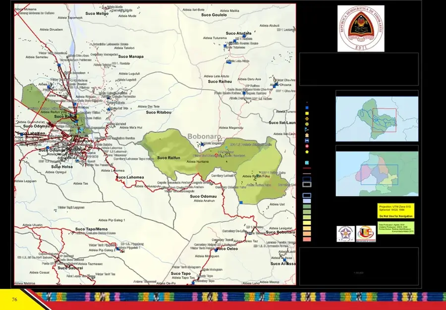
- It serves as a natural border between Liquiçá and Bobonaro municipalities
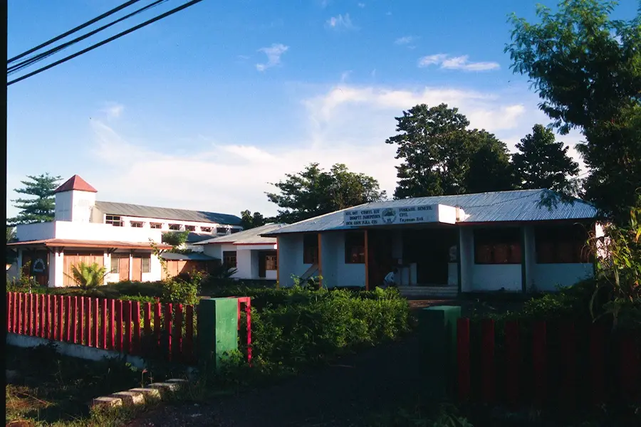
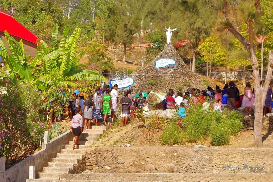
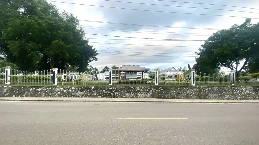
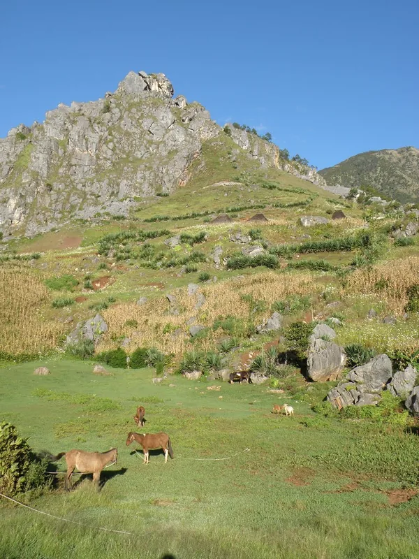
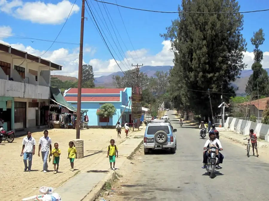
Explore nearby
Notable places around
Route planner — Car & Motorhome
Where do you start? We build the route here, with stops and country notes along the way.
© OpenStreetMap contributors · OpenRouteService
Sights nearby
Frequently asked questions
Can you fish in the Rio Lóis?
Is the river dangerous?
Are there picnic spots on the shore?
How is the water quality?
Can you hike along the river?
Lóis River: where is it located?
Lóis River: when is the best time to visit?
Lóis River: why is it worth visiting?

Nearby cities

History & landmarks

Nature

More places