Plizio Visual Lab
Ufipa Plateau

Weather…
Water temperature…
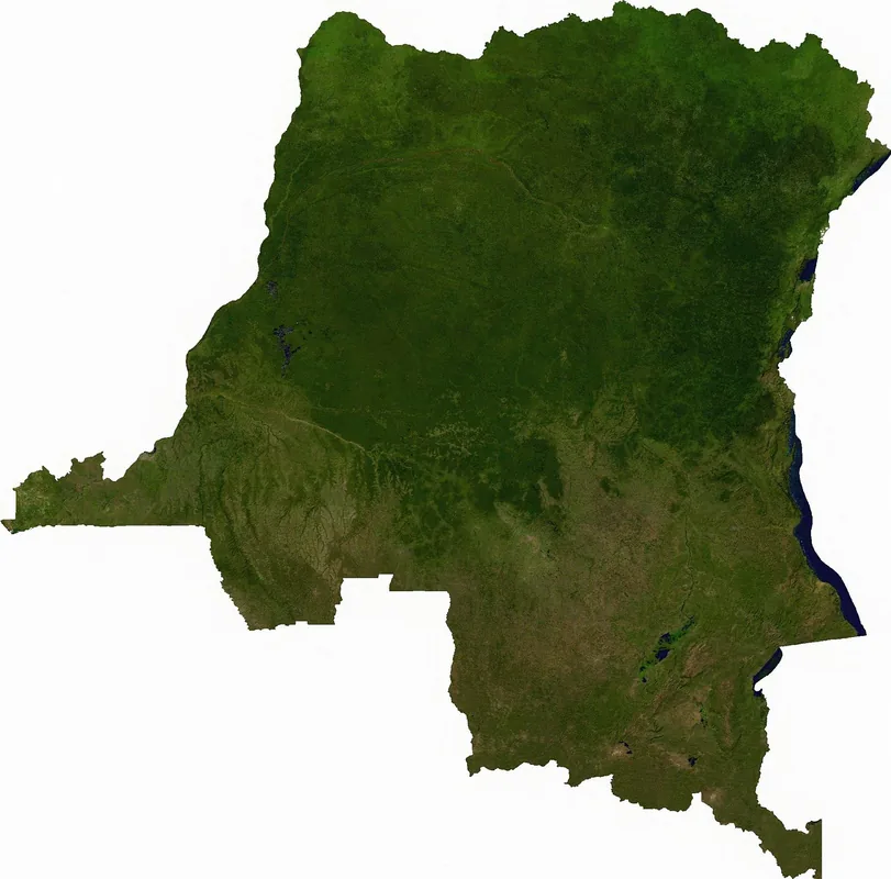
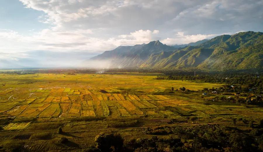
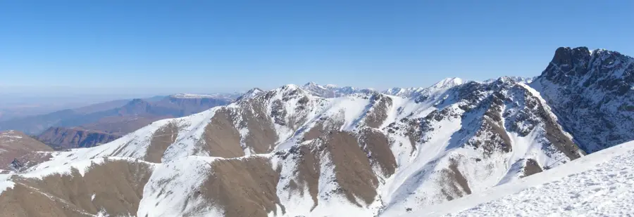
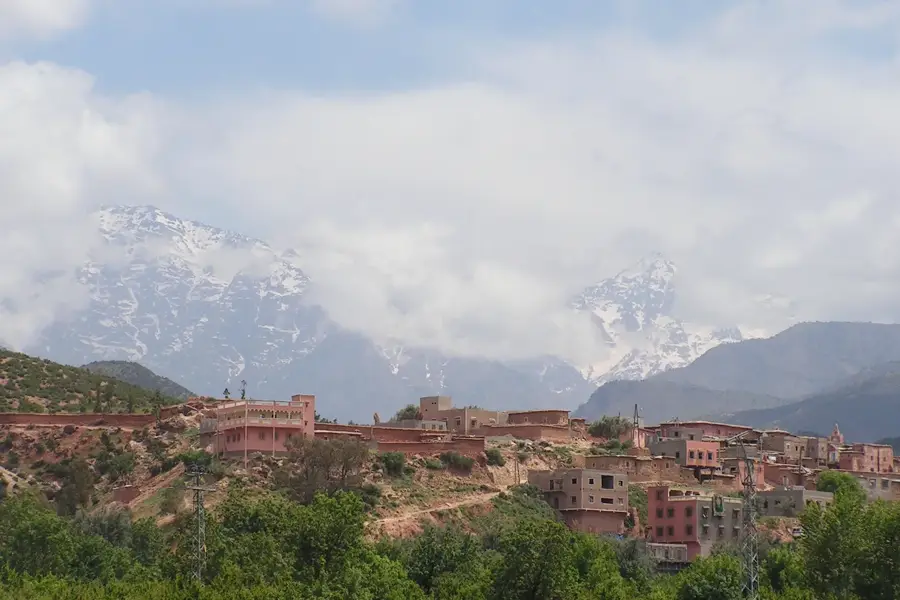
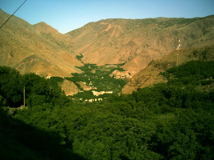
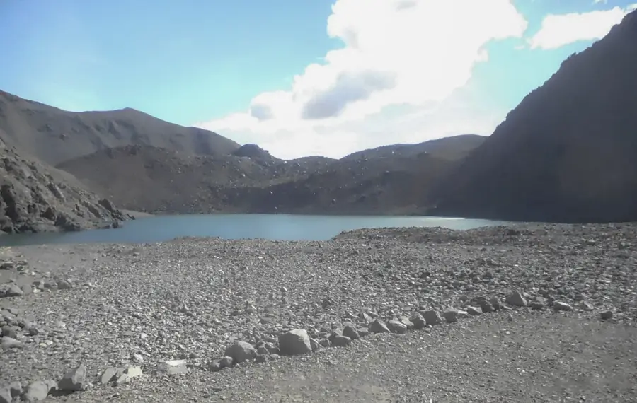
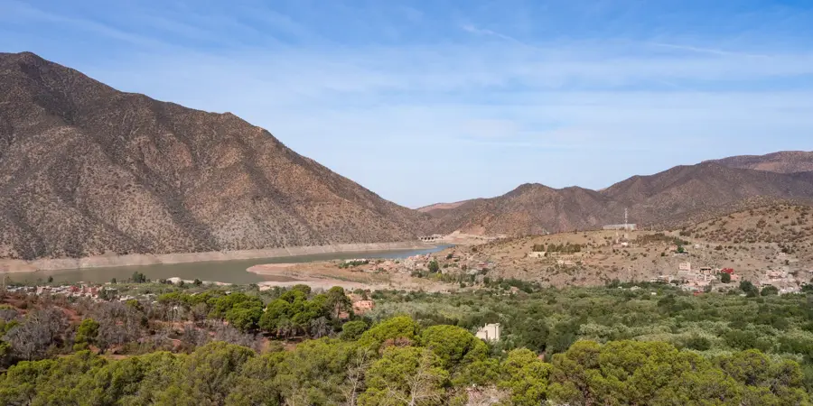
The Ufipa Plateau is an imposing highland region in southwestern Tanzania, positioned between Lake Tanganyika to the west and Lake Rukwa to the east. With peaks reaching over 2,400 meters, the plateau forms a massive natural barrier and is part of the western arm of the East African Rift System. The landscape is characterized by vast grasslands, rolling hills, and deep valleys carved by intense tectonic activity over millions of years. Its fertile volcanic and metamorphic soils make the region a significant agricultural producer, particularly for cereal crops such as wheat and maize. Historically, the plateau is the ancestral home of the Fipa people, who were renowned for their traditional iron-smelting techniques and weaving arts. The town of Sumbawanga, situated at an elevation of about 1,800 meters, serves as the administrative capital of the Rukwa Region and a vital trade hub. Due to its high altitude, the plateau enjoys a temperate climate with cool nights and high rainfall, supporting unique biodiversity in the remaining montane forests.
- Location: Tanzania
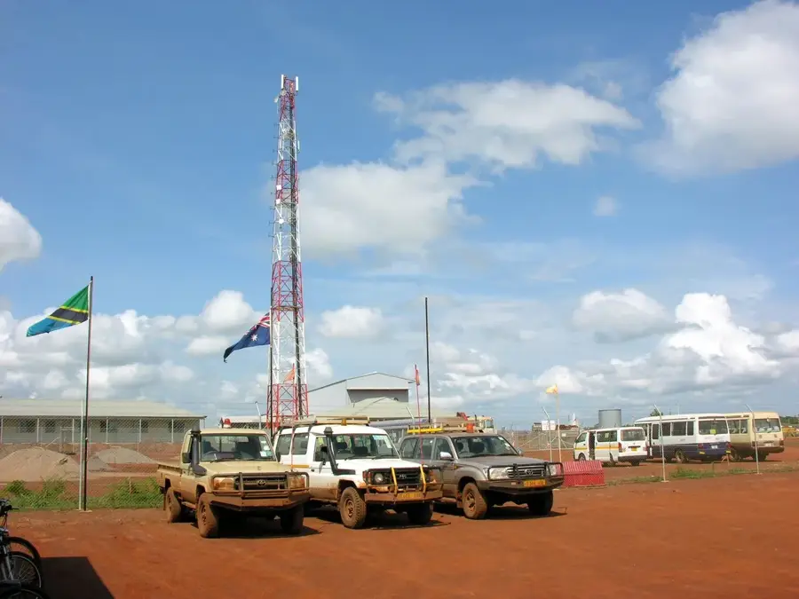
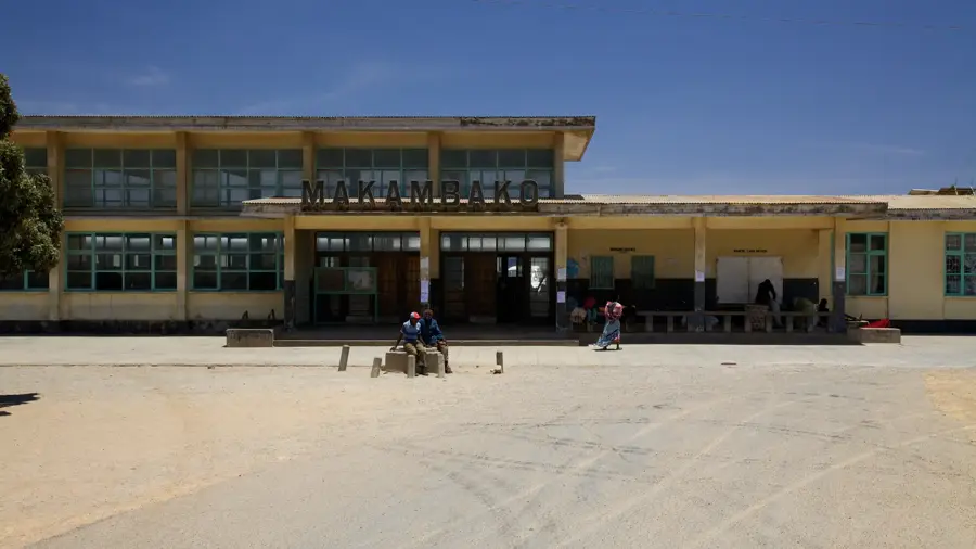
- Nearby: Sumbawanga (46 km)
Best time to visit & climate
The most pleasant time to visit is May, Jul, Aug.
| Jan | Feb | Mar | Apr | May | Jun | Jul | Aug | Sep | Oct | Nov | Dec | |
|---|---|---|---|---|---|---|---|---|---|---|---|---|
| Avg °C | 21 | 21 | 21 | 20 | 20 | 19 | 19 | 21 | 24 | 25 | 23 | 21 |
| Rain mm | 200 | 158 | 170 | 104 | 15 | 1 | 1 | 1 | 5 | 33 | 150 | 237 |
📋 Practical info
Geography
Facts
- The highest peaks on the plateau exceed 2,400 meters in elevation.
- Sumbawanga is the largest town and serves as the administrative center.
- The plateau is located between Lake Tanganyika and Lake Rukwa.
- It is historically famous for the iron-smelting skills of the Fipa people.
- The region is one of Tanzania's most productive cereal-growing areas.
- Geologically, it constitutes part of the Western Rift Valley system.
Explore nearby
Notable places around
Route planner — Car & Motorhome
Where do you start? We build the route here, with stops and country notes along the way.
© OpenStreetMap contributors · OpenRouteService
Sights nearby
Frequently asked questions
Where is the Ufipa Plateau located?
Is the landscape worth seeing?
What is the best time to travel?
Are there many tourists there?
Do you need a 4x4 vehicle?
Ufipa Plateau: where is it located?
Ufipa Plateau: when is the best time to visit?
Ufipa Plateau: why is it worth visiting?

Nearby cities
History & landmarks
Nature
More places