Plizio Visual Lab
Chunya
ℹ️Practical info — Chunya
▾
🌤 Weather — 5 days
📍 Nearby
Sights nearby
💡 Tips
- Ensure you hire a 4WD vehicle for the Chunya region, as roads in the Lupa gold fields can be very rugged and unpaved.
- Dress modestly (covering shoulders and knees) when visiting local markets or artisanal mining areas.
- Always ask for permission before taking photos of mining operations or local people, as it is a sensitive topic.
- Use Chunya as a strategic stopover on the way to Lake Rukwa, one of Tanzania's most remote birdwatching havens.
- Look out for the 'big sky' vistas on the road from Mbeya; the viewpoints offer spectacular panoramas of the Rift Valley.
🍽 Food
Maize porridge served with cassava leaf stew; a hearty meal that is a staple in the Southern Highlands.
A traditional stew of green plantains and beef, often served as a filling meal in the mining communities.
Look for local forest honey in the markets; it is famous throughout the region for its high quality and rich flavor.
🛍 Shopping · 🧘 Quiet spots
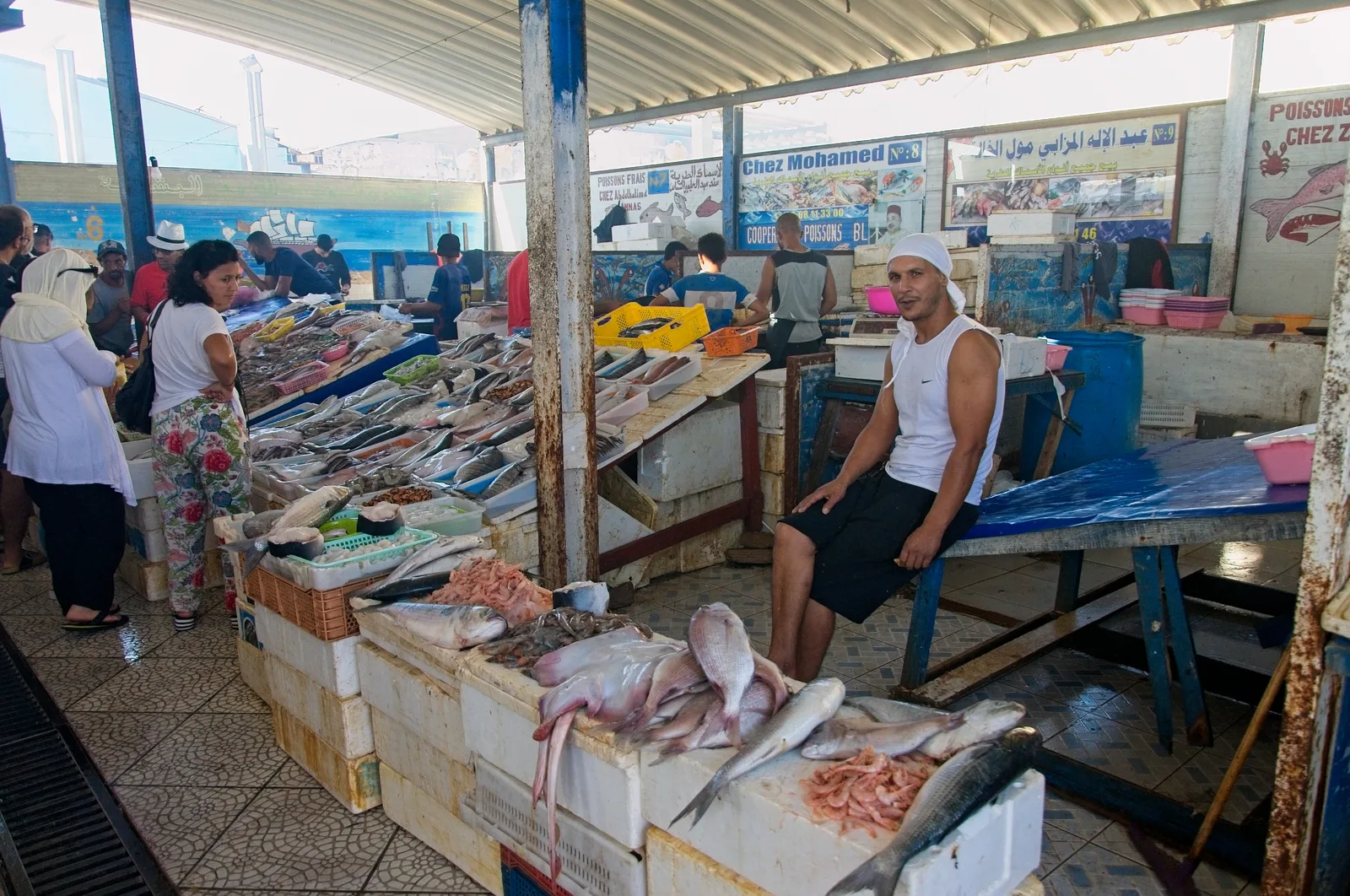
A bustling hub to buy Kanga fabrics and locally produced honey, along with spices from the surrounding highlands.
Look for the region's famous hand-molded clay pots, which are both beautiful and used for traditional cooking.
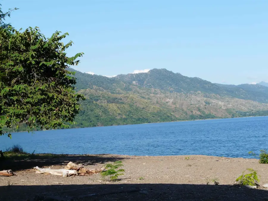
A remote wetland west of Chunya, well-suited for birdwatching and spotting hippos in a tranquil setting.
A lesser-known spot near Chunya where you can observe hippos in a natural, undisturbed environment.
Water temperature…
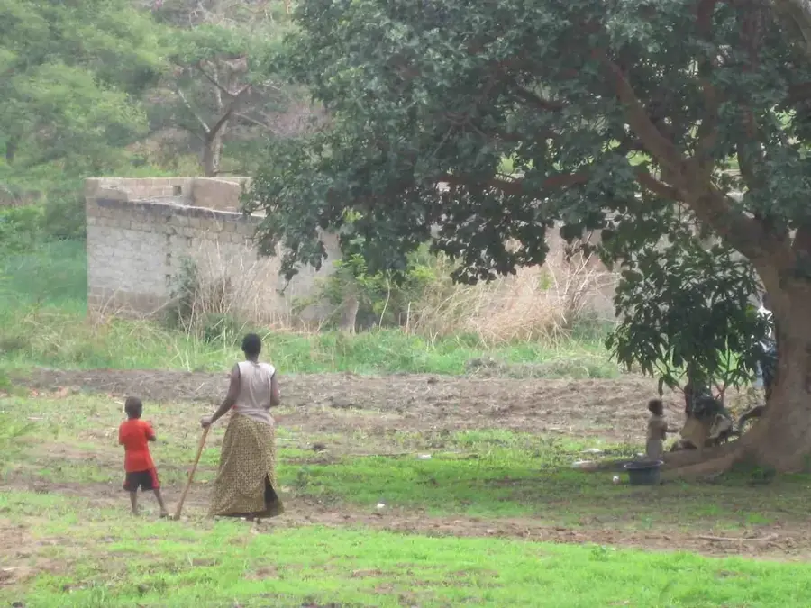
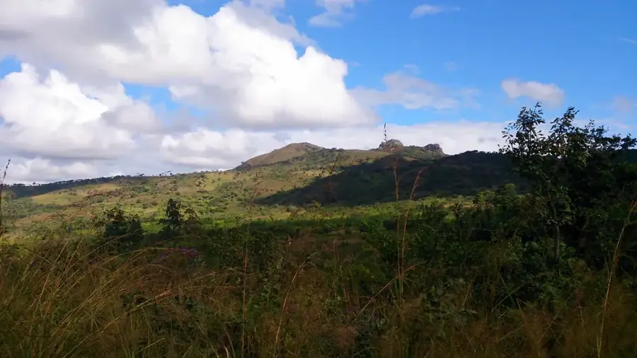
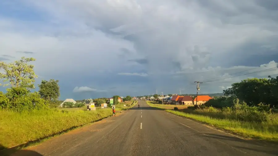
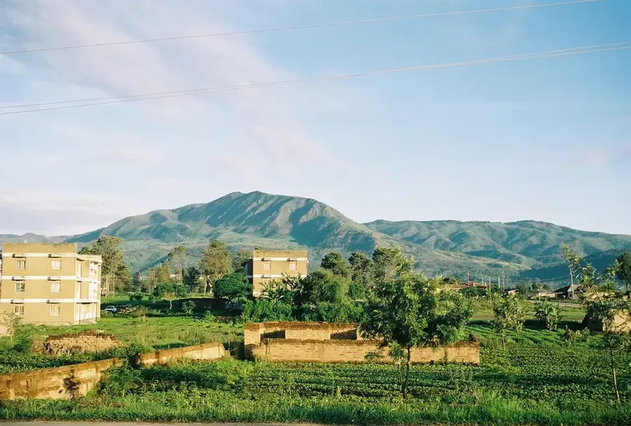
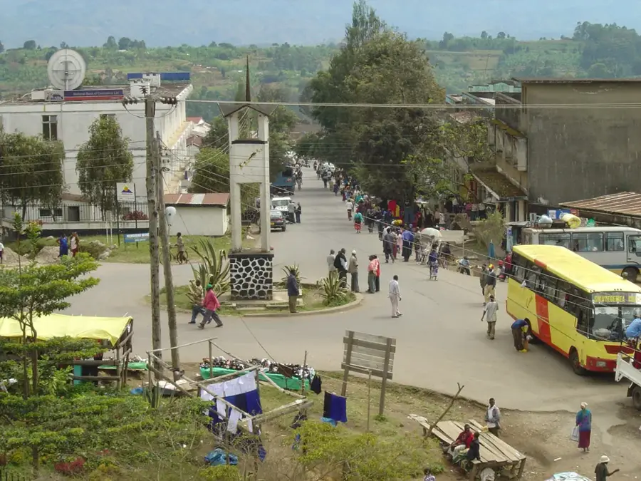
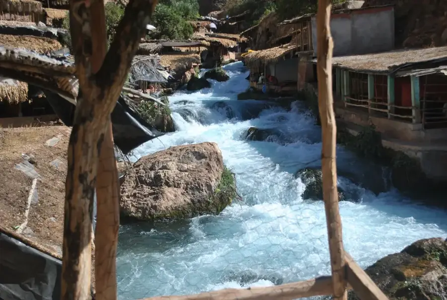
Chunya is a historic mining town in the Mbeya Region of southwestern Tanzania, famous for the gold rush that occurred in the 1920s and 1930s. Located on an arid plateau north of Mbeya city, Chunya served as the administrative hub of the Lupa Goldfield, which once attracted thousands of prospectors from across the globe. Today, small-scale gold mining remains a cornerstone of the local economy, supplemented by agriculture, particularly the cultivation of tobacco and sunflowers. The surrounding landscape is dominated by expansive Miombo woodlands, typical of Tanzania's drier interior regions. Despite its relatively isolated position, the town is linked via a major highway to the regional hub of Mbeya and to Itigi to the north. Colonial-era architecture in some buildings still reflects the town's prosperity during the height of the mining boom under British administration.
- Location: Tanzania
- Nearby: Mbeya (34 km)
Best time to visit & climate
The most pleasant time to visit is May, Aug, Sep.
| Jan | Feb | Mar | Apr | May | Jun | Jul | Aug | Sep | Oct | Nov | Dec | |
|---|---|---|---|---|---|---|---|---|---|---|---|---|
| Avg °C | 21 | 21 | 21 | 21 | 20 | 18 | 18 | 20 | 22 | 24 | 24 | 22 |
| Rain mm | 235 | 189 | 202 | 104 | 19 | 5 | 4 | 2 | 2 | 20 | 86 | 248 |
Geography
Facts
- Chunya was the focal point of the Lupa Gold Rush starting in 1922.
- The town is situated at an elevation of approximately 1,450 meters.
- Gold remains the most significant export of the Chunya District today.
- The region is a major producer of flue-cured tobacco.
- The road connecting Mbeya to Chunya was recently upgraded to bitumen standard.
- The local climate is semi-arid, contrasting with the wetter Mbeya highlands.
Explore nearby
Notable places around
Route planner — Car & Motorhome
Where do you start? We build the route here, with stops and country notes along the way.
© OpenStreetMap contributors · OpenRouteService
Sights in the town Chunya (1)
Frequently asked questions
How long to stay in Chunya?
When should one visit Chunya?
How to get to Chunya?
What is typical for the gastronomy in Chunya?
Is Chunya family-friendly?
Chunya: where is it located?
Chunya: when is the best time to visit?
Chunya: why is it worth visiting?

Nearby cities
Nature
More places