Plizio Visual Lab
Karategin Range
Weather…
Water temperature…
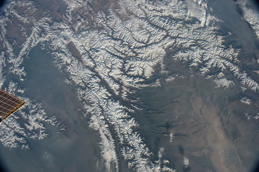
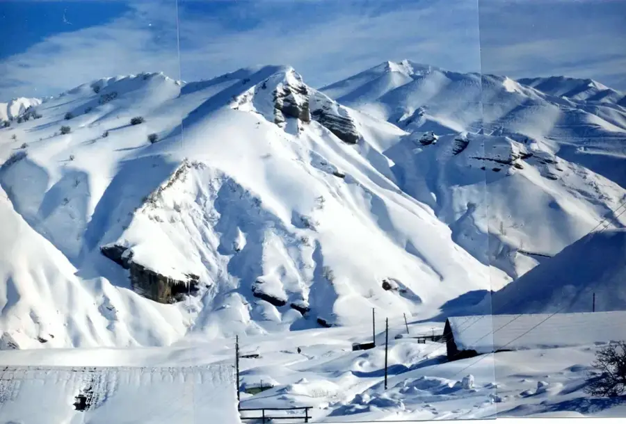
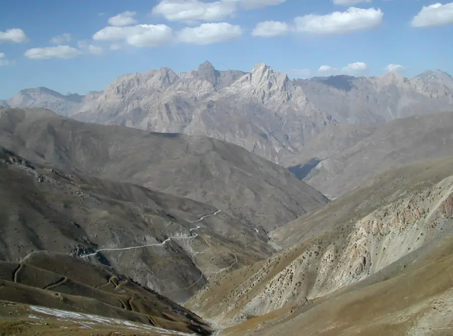
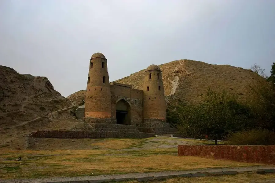
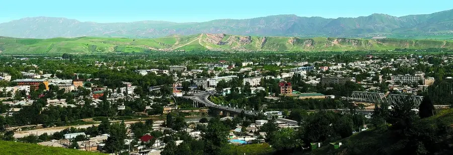
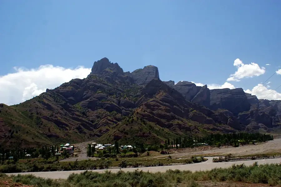
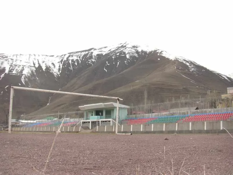
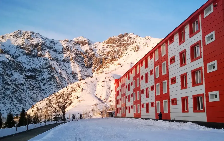
The Karategin Range is a prominent mountain ridge in central Tajikistan, forming part of the extensive Gissar-Alai mountain system. The range extends for approximately 160 kilometers north of the Vakhsh Valley, with its highest peaks reaching elevations exceeding 4400 meters above sea level. Geologically, the region is characterized by deeply incised valleys and rugged rock formations shaped during the Alpine orogeny. Historically, the area was a key corridor for Silk Road routes connecting the Fergana district with the southern regions of Central Asia. The slopes of the mountains are primarily used today for extensive livestock grazing, while the fertile lower valleys support crops of grain and fruit. The region is also noted for its high seismic activity, as it sits at the junction of major tectonic plates. The Karategin Range plays a vital role in the regional ecosystem, as its glaciers and seasonal snowpack feed the tributaries of the Vakhsh River.
- Location: Tajikistan
- Nearby: Tavildara (19 km)
Best time to visit & climate
The most pleasant time to visit is Jun–Aug.
| Jan | Feb | Mar | Apr | May | Jun | Jul | Aug | Sep | Oct | Nov | Dec | |
|---|---|---|---|---|---|---|---|---|---|---|---|---|
| Avg °C | -9 | -8 | -2 | 4 | 8 | 13 | 16 | 15 | 11 | 4 | -2 | -7 |
| Rain mm | 28 | 35 | 44 | 39 | 36 | 19 | 7 | 12 | 3 | 12 | 33 | 27 |
📋 Practical info
Geography
Facts
- The range spans approximately 160 kilometers
- Highest peaks exceed 4400 meters in elevation
- Part of the larger Gissar-Alai mountain system
- Feeds key tributaries of the Vakhsh River
- Historical route for Silk Road merchant caravans
- Region is subject to frequent seismic activity
Explore nearby
Notable places around
Route planner — Car & Motorhome
Where do you start? We build the route here, with stops and country notes along the way.
© OpenStreetMap contributors · OpenRouteService
Sights nearby
Frequently asked questions
Is the Karategin-Gebirge well accessible?
What is the best season?
Can one camp there?
Is a guide necessary?
How is the wildlife?
Karategin Range: where is it located?
Karategin Range: when is the best time to visit?
Karategin Range: why is it worth visiting?

Nearby cities

History & landmarks
More places