Plizio Visual Lab
Darvaz Range

Weather…
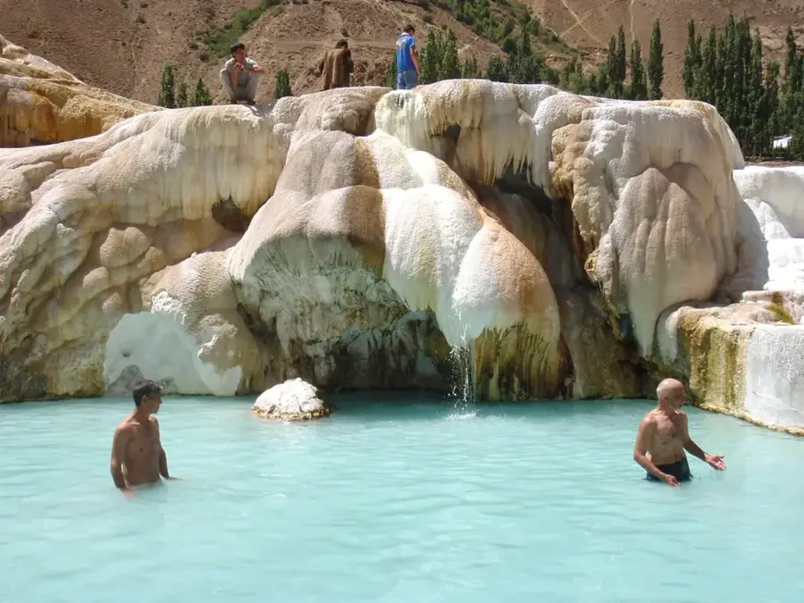
Water temperature…
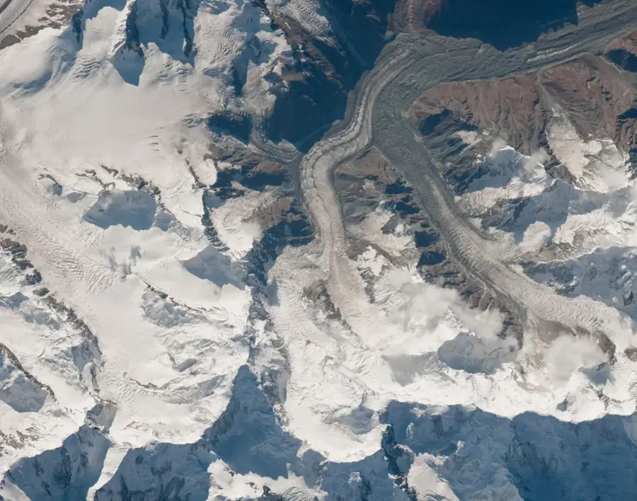
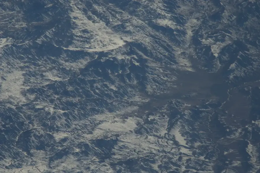
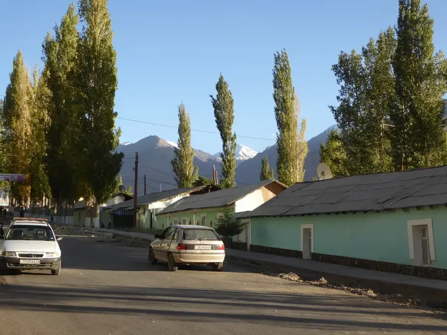
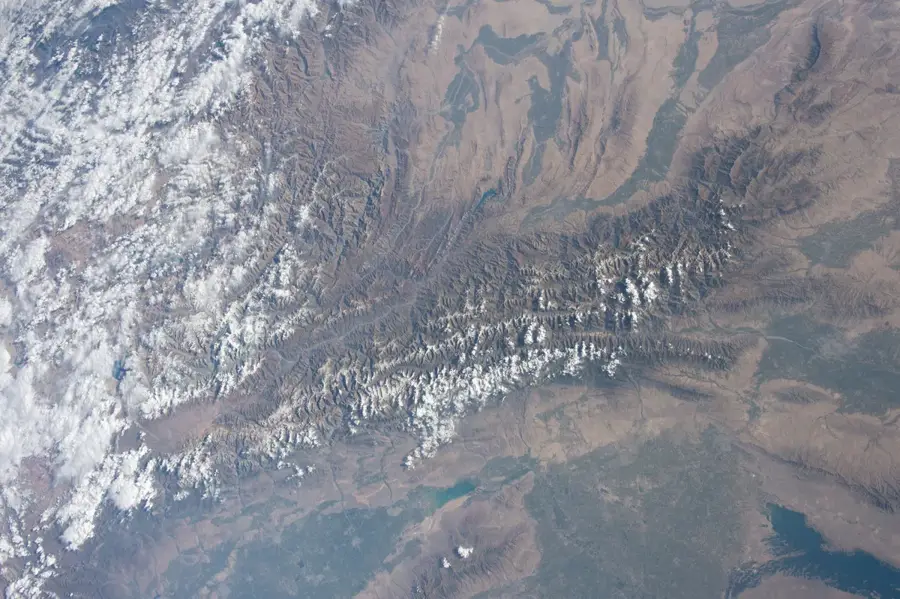
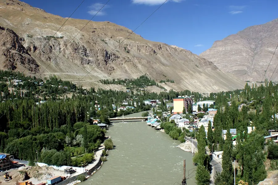
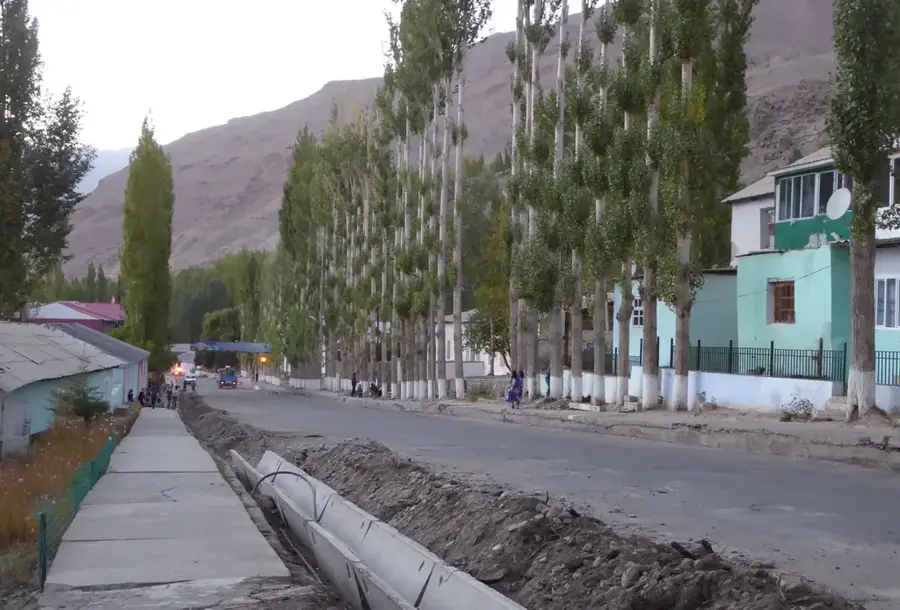
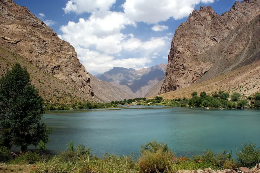
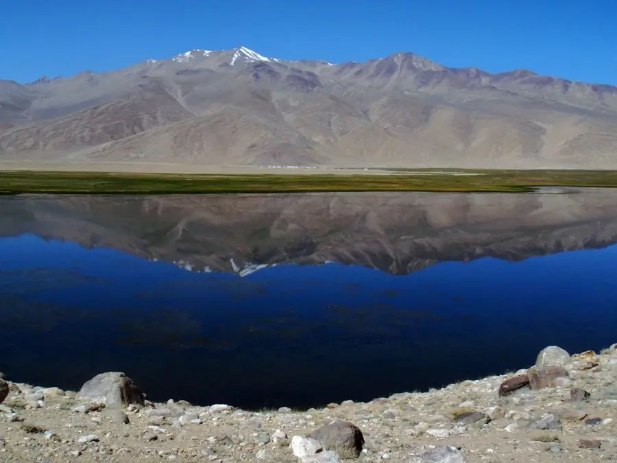
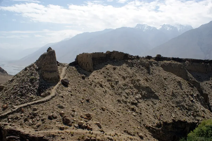
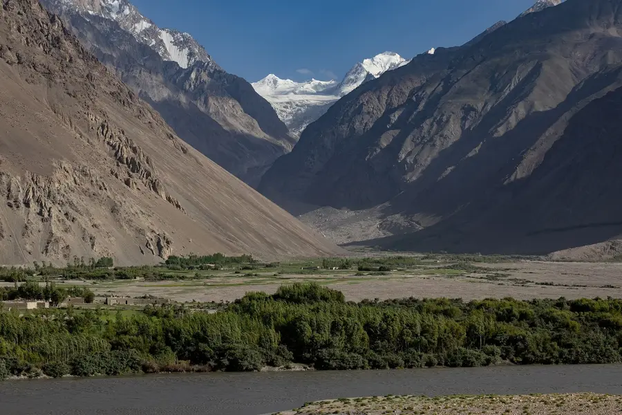
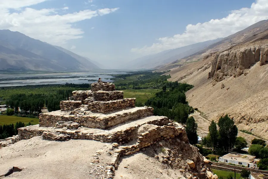
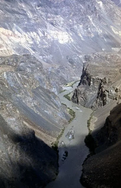
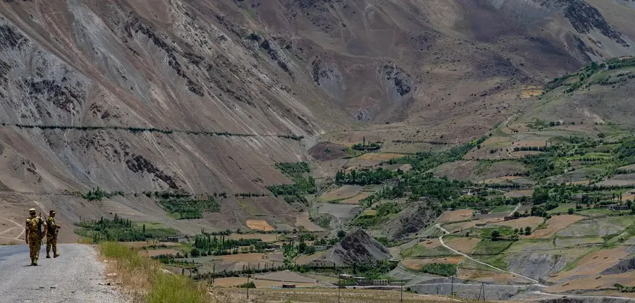
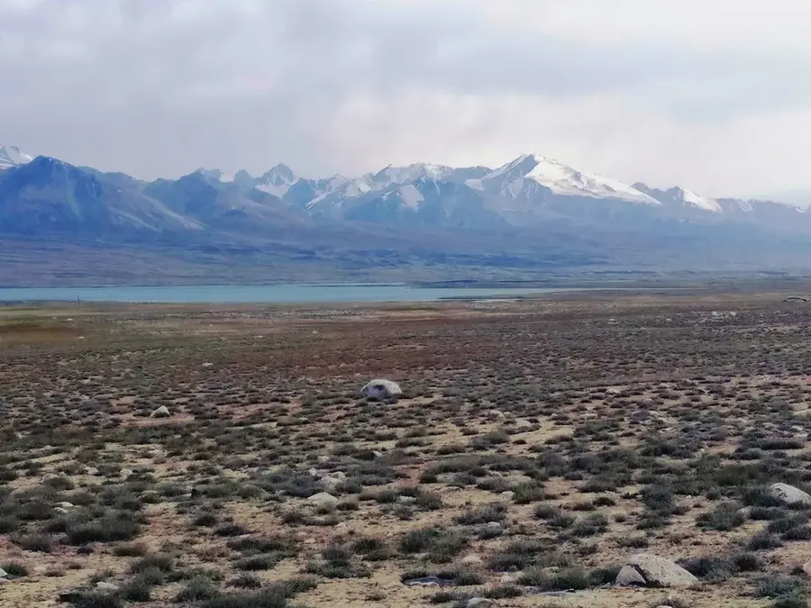
The Darvaz Range is a massive mountain chain in the western Pamir Mountains of Tajikistan, stretching approximately 200 kilometers. It runs between the valleys of the Panj River to the south and the Obihingou River to the north, reaching its highest elevation at Mount Arnawad, which stands at 6,083 meters. The mountains are characterized by an extremely steep and deeply dissected relief, with elevation differences often exceeding 3,000 meters between valley floors and peaks. Geologically, the range consists mainly of crystalline schist formations and granites, heavily deformed by tectonic uplifts. The region is marked by significant glaciation, with glaciers serving as vital water reservoirs for surrounding river systems. Historically, the Darvaz Range formed a natural fortress for the Principality of Darvaz, which maintained its independence for centuries. Due to its inaccessibility, the region remains sparsely populated and home to pristine flora and fauna, including the rare snow leopard. For mountaineers, the range presents a unique challenge due to its technical difficulty and remoteness.
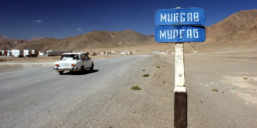
- Location: Tajikistan
- Top sights: Arts Centre · Muzei vintorogova kozla · Shikaī
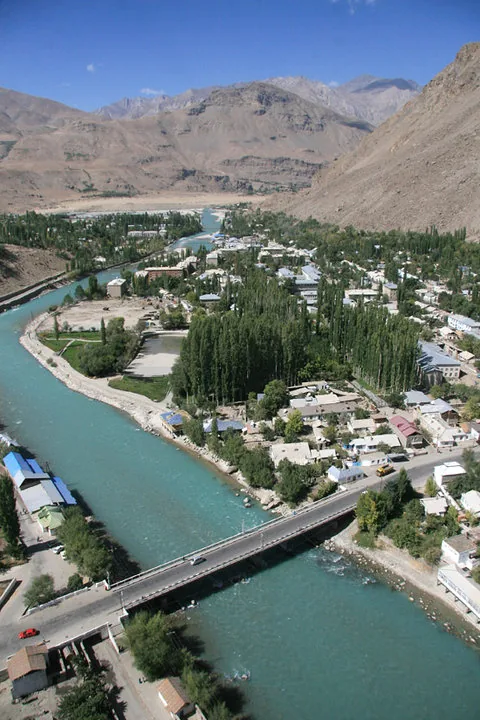
- Nearby: Tavildara (36 km)
Best time to visit & climate
The most pleasant time to visit is Jun–Aug.
| Jan | Feb | Mar | Apr | May | Jun | Jul | Aug | Sep | Oct | Nov | Dec | |
|---|---|---|---|---|---|---|---|---|---|---|---|---|
| Avg °C | -12 | -10 | -5 | 1 | 5 | 9 | 12 | 12 | 7 | 2 | -4 | -10 |
| Rain mm | 24 | 30 | 36 | 32 | 25 | 14 | 5 | 11 | 2 | 9 | 29 | 22 |
📋 Practical info
Geography
Facts
- The highest peak is Mount Arnawad at 6,083 meters
- Total length of the mountain range is about 200 kilometers
- Located between the Panj and Obihingou rivers
- Geological base is formed by crystalline schists and granite
- Was the center of the historical Principality of Darvaz
- Home to more than 300 square kilometers of glacier area
Explore nearby
Notable places around
Route planner — Car & Motorhome
Where do you start? We build the route here, with stops and country notes along the way.
© OpenStreetMap contributors · OpenRouteService
Sights in the town Darvaz Range (5)
Sights nearby
Frequently asked questions
How difficult is hiking in the Darwas-Gebirge range?
When is the best time of year to visit?
Are there mountain huts in the range?
What should be considered when traveling there?
What is the weather like at high altitudes?
Darvaz Range: where is it located?
Darvaz Range: what is there to see?
Darvaz Range: when is the best time to visit?
Darvaz Range: why is it worth visiting?

Nearby cities
History & landmarks
Nature

More places