Plizio Visual Lab
Mount Abd al-Aziz

Weather…
Water temperature…
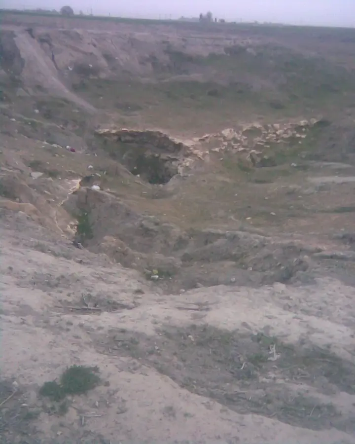
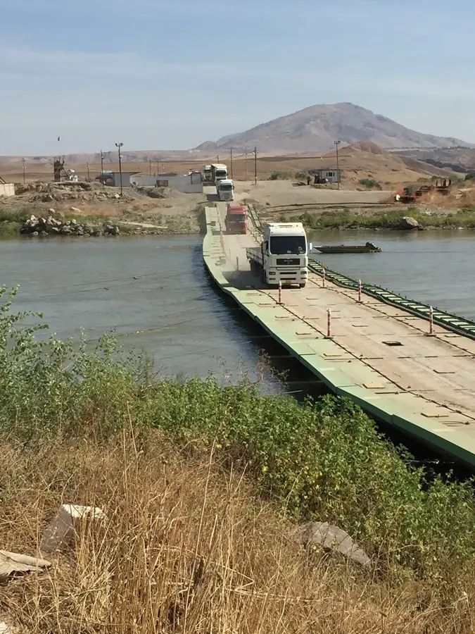
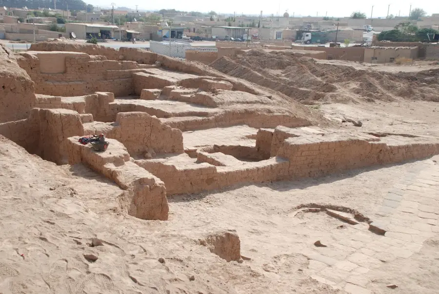
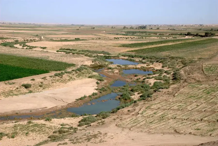
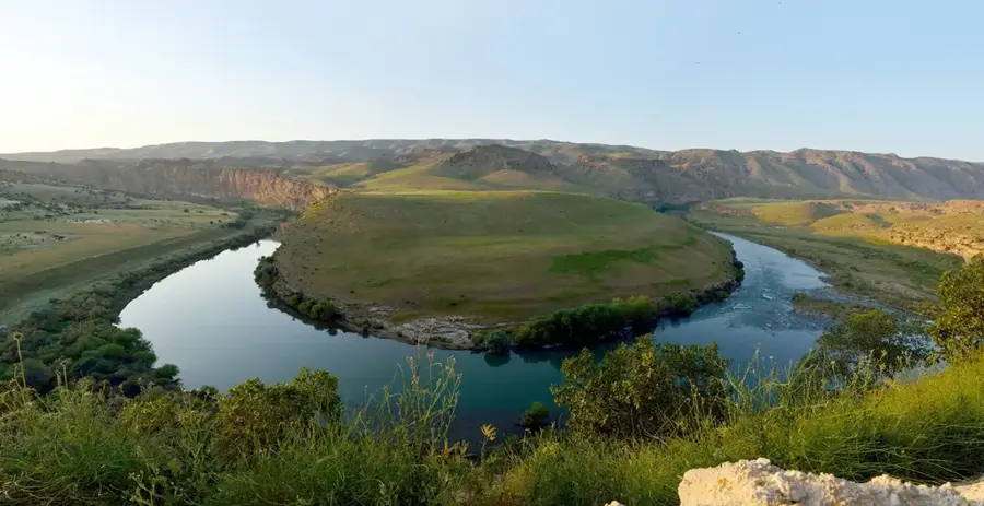
Jabal Abd al-Aziz is a prominent mountain range in the al-Hasaka Governorate of northeastern Syria, situated about 85 kilometers west of the city of Hasaka. This elevation rises sharply from the flat Al-Jazira plains, reaching its highest peak at approximately 920 meters. Geologically, it is an anticlinal structure composed mainly of sedimentary rocks from the Cretaceous and Eocene periods. The mountains play a crucial role in the local ecosystem, acting as a watershed and hosting specialized flora and fauna despite the arid surrounding environment. In the 1950s, a portion of the range was designated as a nature reserve to protect the remaining stands of wild pistachio and oak trees. Historically, the range served as a sanctuary and strategic outpost for various cultures, with ancient ruins scattered across the region. Today, Jabal Abd al-Aziz is an important field of study for geologists and botanists researching plant adaptation to semi-arid conditions.
- Location: Syria
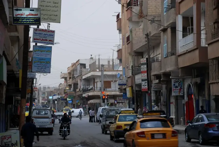
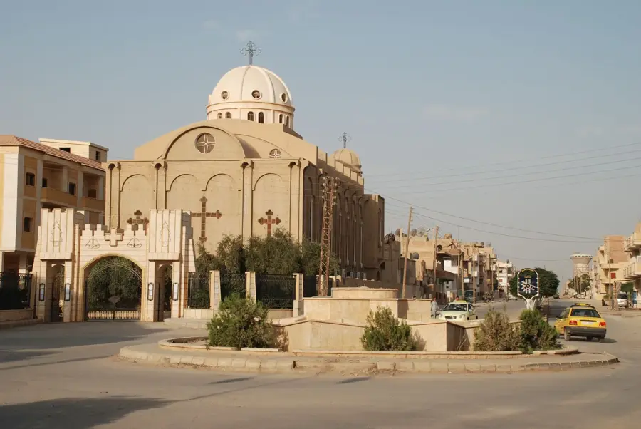
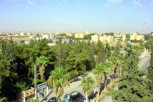
- Nearby: Ras al-Ayn (45 km)
Best time to visit & climate
The most pleasant time to visit is May, Sep, Oct.
| Jan | Feb | Mar | Apr | May | Jun | Jul | Aug | Sep | Oct | Nov | Dec | |
|---|---|---|---|---|---|---|---|---|---|---|---|---|
| Avg °C | 4 | 7 | 11 | 16 | 22 | 28 | 32 | 32 | 27 | 21 | 12 | 6 |
| Rain mm | 41 | 39 | 35 | 31 | 17 | 2 | 0 | 0 | 2 | 19 | 29 | 44 |
📋 Practical info
Geography
Facts
- The highest peak of Jabal Abd al-Aziz is approximately 920 meters above sea level.
- The range is named after Abd al-Aziz bin Abd al-Qadir al-Jilani, a Sufi scholar.
- The mountain range extends for a length of about 85 kilometers.
- It is notable for its remaining stands of wild pistachio trees (Pistacia atlantica).
- The region receives an average of only 250 mm of precipitation annually.
- Numerous archaeological sites from the Halaf culture are located at the base of the mountains.
Explore nearby
Notable places around
Route planner — Car & Motorhome
Where do you start? We build the route here, with stops and country notes along the way.
© OpenStreetMap contributors · OpenRouteService
Sights nearby
Frequently asked questions
Are there hiking trails?
Do you need a guide?
Are there water sources?
Is it a family-friendly destination?
What is the terrain like?
Mount Abd al-Aziz: where is it located?
Mount Abd al-Aziz: when is the best time to visit?
Mount Abd al-Aziz: why is it worth visiting?

Nearby cities
History & landmarks
Nature
More places