Plizio Visual Lab
Er Roseires Region
Weather…
Water temperature…
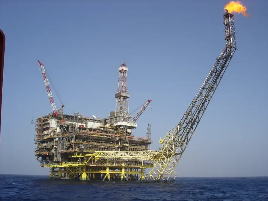
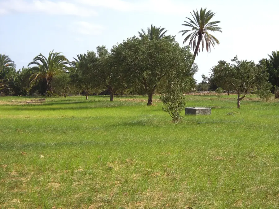
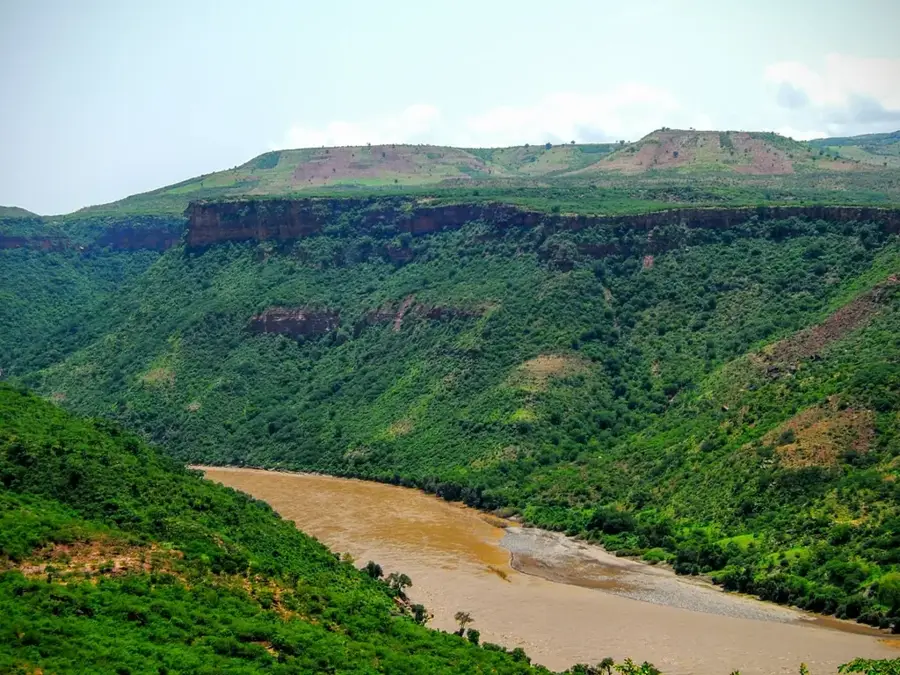
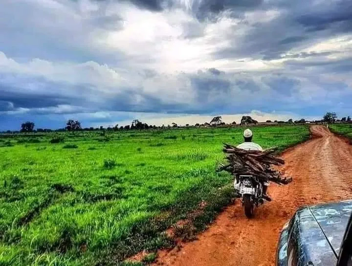
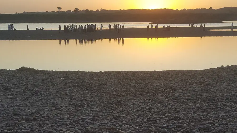
The Er-Roseires Dam on the Blue Nile, located in the Blue Nile State, is a monumental structure of central importance to Sudan's economic development. Originally completed in 1966, the dam underwent a massive heightening project between 2008 and 2013, increasing the reservoir's storage capacity to over 7 billion cubic meters. This expansion significantly enhanced the irrigation capabilities for large-scale agricultural schemes such as Kenana and Rahad. The region surrounding the dam is characterized by fertile plains where sugarcane, grains, and oilseeds are produced in vast quantities. Beyond agriculture, the dam's hydroelectric power station serves as one of the nation's primary electricity sources, supplying a major portion of the Sudanese national grid. Geographically, the dam is situated in a transition zone between the savanna and the Ethiopian Highlands, resulting in high annual rainfall. The social fabric of the region is deeply interconnected with the dam's operations, as it provides thousands of jobs in engineering, administration, and agricultural sectors. The project stands as a symbol of Sudanese progress and the strategic management of the Nile's water resources.
- Location: Sudan
- Nearby: Ar-Rusairis (11 km)
Best time to visit & climate
The most pleasant time to visit is Jan, Nov, Dec.
| Jan | Feb | Mar | Apr | May | Jun | Jul | Aug | Sep | Oct | Nov | Dec | |
|---|---|---|---|---|---|---|---|---|---|---|---|---|
| Avg °C | 27 | 29 | 31 | 33 | 32 | 30 | 27 | 26 | 27 | 29 | 29 | 27 |
| Rain mm | 0 | 0 | 1 | 5 | 49 | 68 | 122 | 162 | 104 | 79 | 4 | 1 |
📋 Practical info
Geography
Facts
- The height of the dam was increased by 10 meters during the 2013 expansion.
- It is located approximately 500 kilometers south of Khartoum.
- The dam spans a total length of about 25 kilometers including its earth embankments.
- The reservoir supports local fisheries with an annual catch of several hundred tons.
- It plays a crucial role in flood control for the Blue Nile valley.
- The expansion project was one of the largest infrastructure undertakings in recent Sudanese history.
Explore nearby
Notable places around
Route planner — Car & Motorhome
Where do you start? We build the route here, with stops and country notes along the way.
© OpenStreetMap contributors · OpenRouteService
Sights nearby
Frequently asked questions
What is the Er-Roseires Dam?
Can you visit the dam?
Why is the region so green?
Are there tourist facilities there?
When is it pleasant there?
Er Roseires Region: where is it located?
Er Roseires Region: when is the best time to visit?
Er Roseires Region: why is it worth visiting?

Nearby cities

More places