Plizio Visual Lab
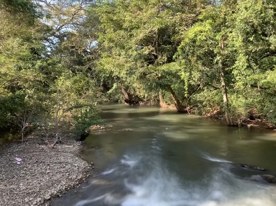
Mahaweli River
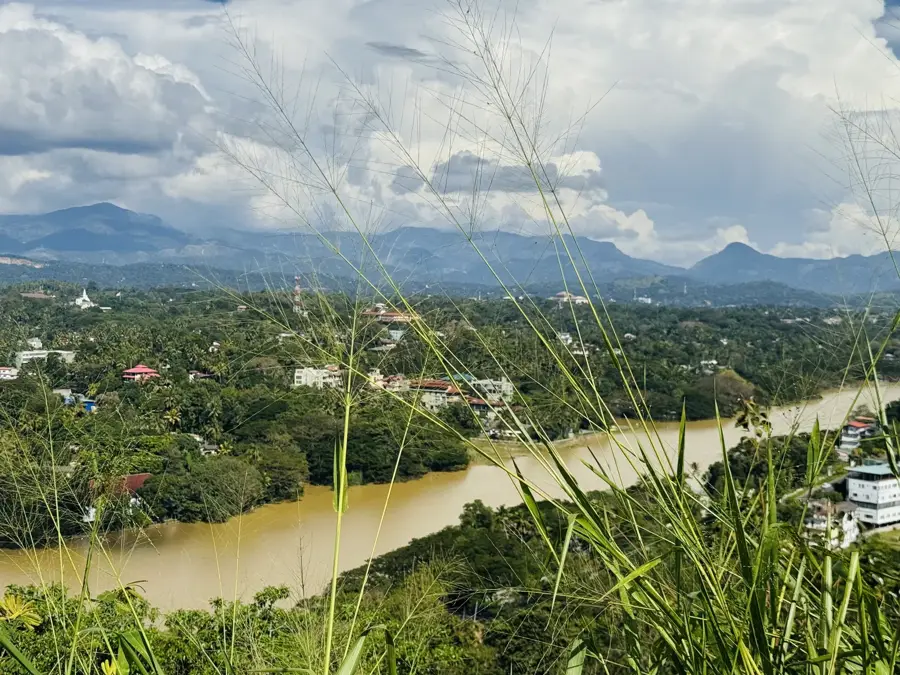
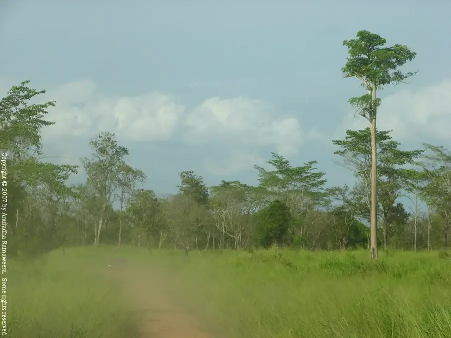
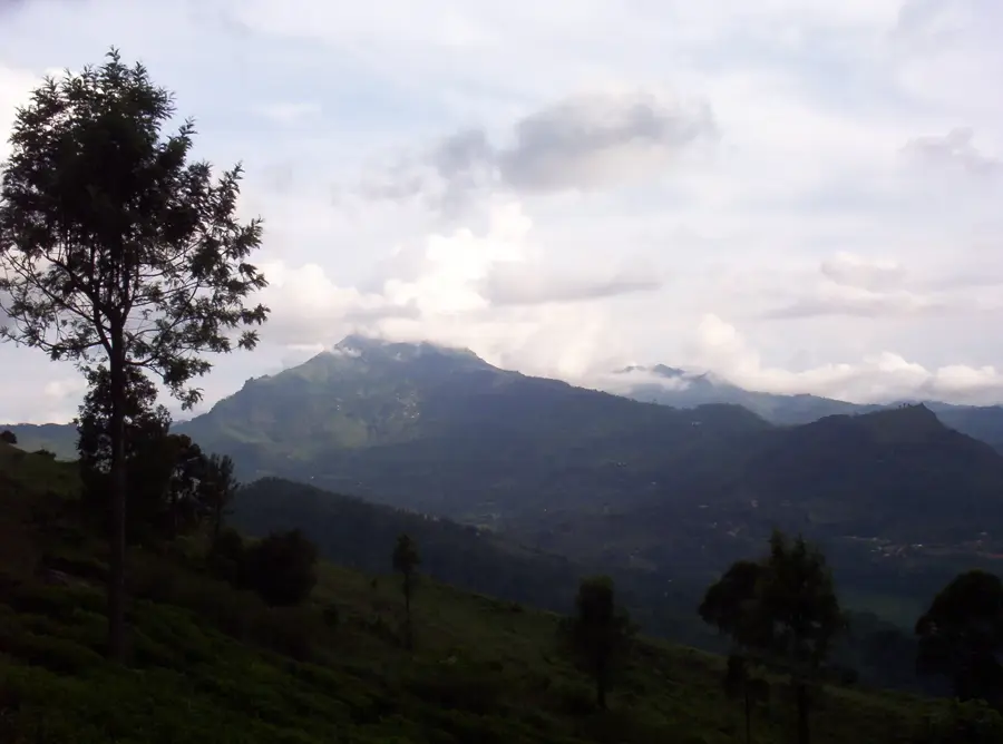
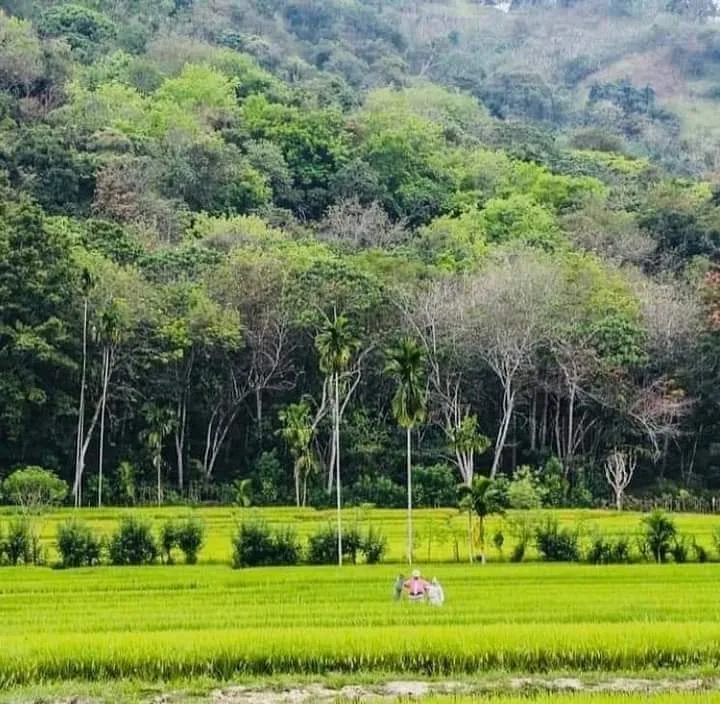
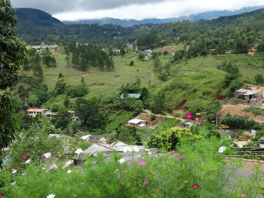
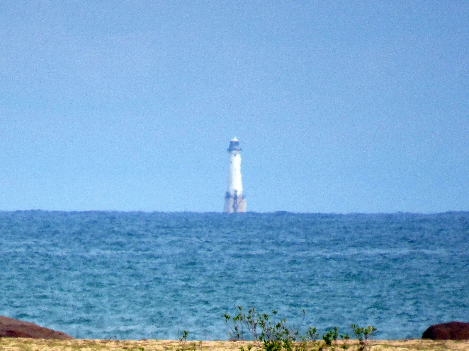
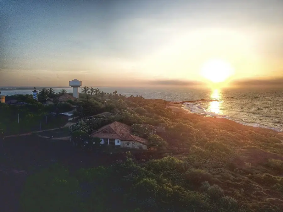
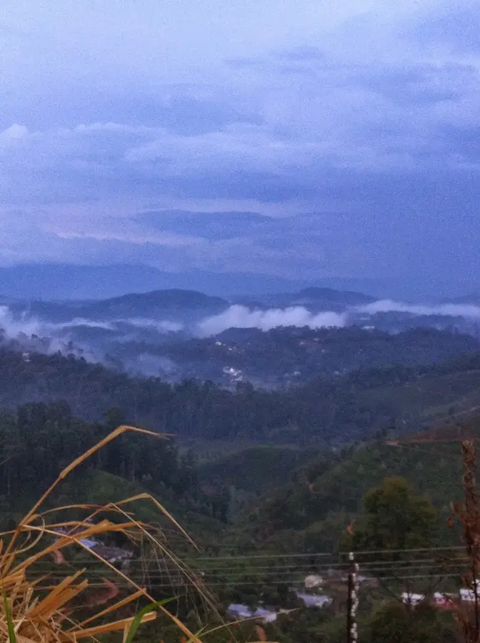
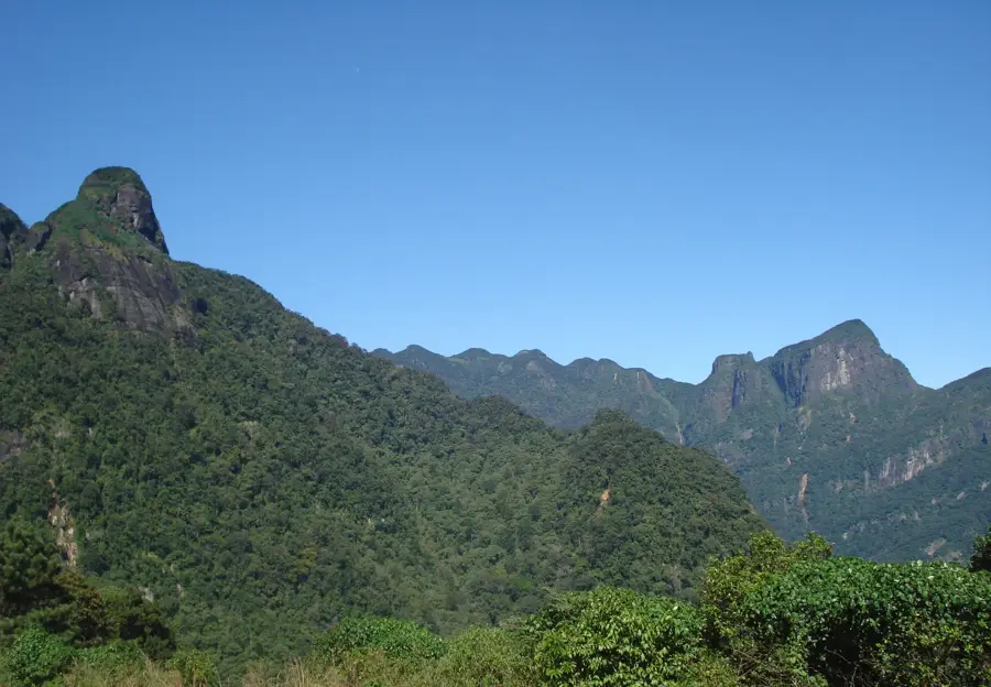
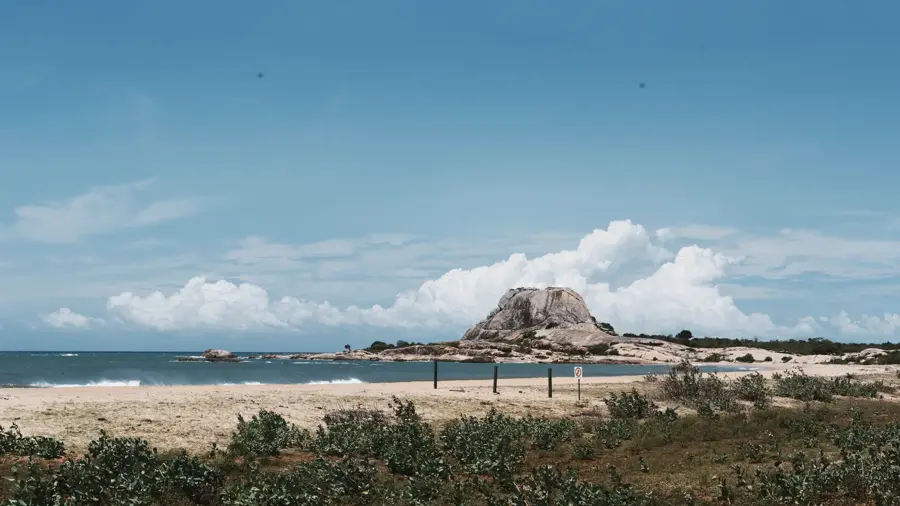
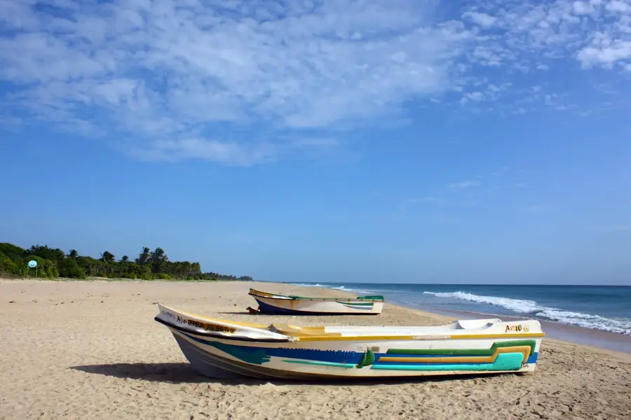
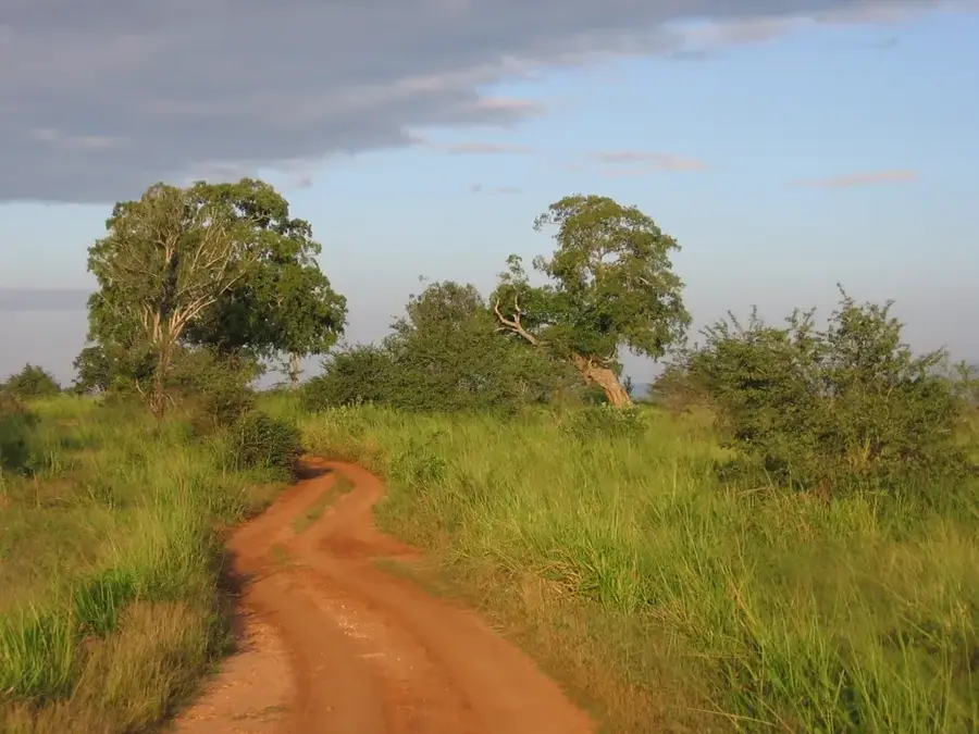
The Mahaweli River is the longest river in Sri Lanka, stretching over 335 kilometers and playing a central role in the country's economy and ecology. Its drainage basin covers approximately 10,448 square kilometers, which accounts for nearly one-sixth of the island's total land area. The river originates in the Horton Plains in the central highlands and flows into the Indian Ocean at Trincomalee on the eastern coast. Economically, it is the cornerstone of the Mahaweli Development Programme, which established massive dams like Victoria, Randenigala, and Kotmale for hydropower and large-scale irrigation. The river traverses multiple climatic zones, from the wet mountains to the arid plains of the north and east. Geographically, it supports vast agricultural lands in the dry zone and sustains diverse natural habitats. Its historical significance dates back to ancient times, serving as a vital resource for early Sri Lankan civilizations and their irrigation systems.
- Location: Sri Lanka
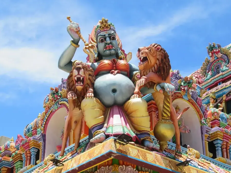
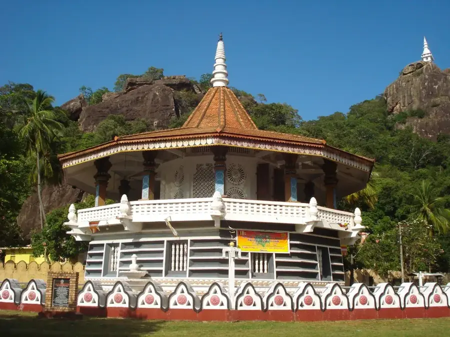
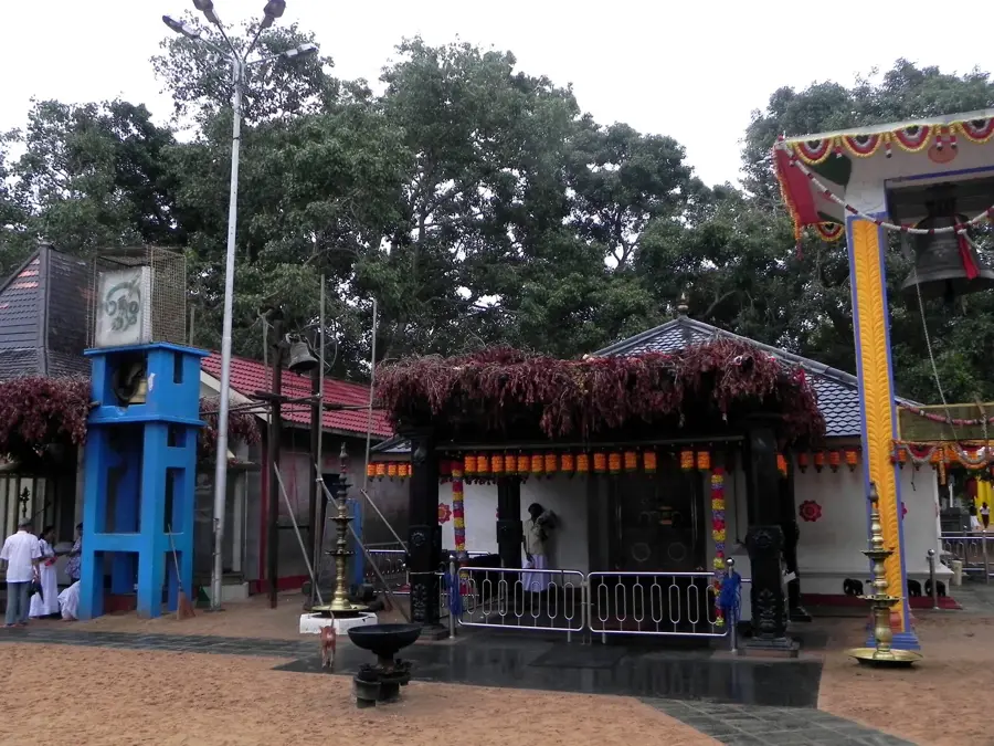
- Top sights: Galkanda Raja Maha Viharaya Ruins · iththikulam karbakavinayakar temple · Siththivinayakar Temple
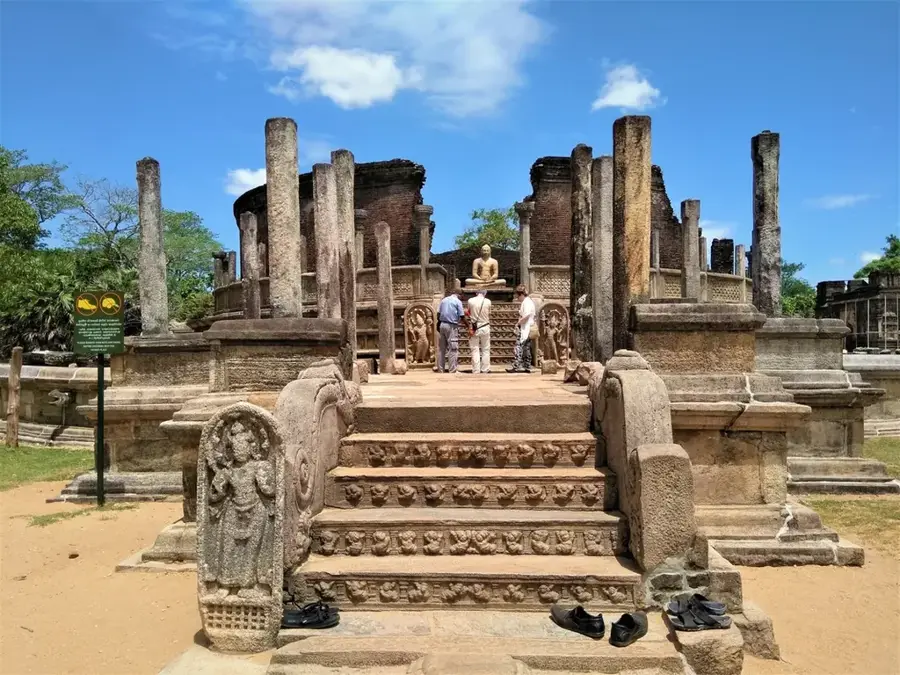
- Nearby: Polonnaruwa (27 km)
Best time to visit & climate
The most pleasant time to visit is Feb, Jun, Jul.
| Jan | Feb | Mar | Apr | May | Jun | Jul | Aug | Sep | Oct | Nov | Dec | |
|---|---|---|---|---|---|---|---|---|---|---|---|---|
| Avg °C | 26 | 26 | 28 | 29 | 29 | 29 | 29 | 29 | 29 | 28 | 27 | 26 |
| Rain mm | 127 | 93 | 71 | 109 | 105 | 29 | 36 | 57 | 80 | 227 | 327 | 304 |
📋 Practical info
Geography
Facts
- The Mahaweli is the longest river in Sri Lanka at 335 kilometers.
- Its drainage basin covers 10,448 km², nearly 16% of the island.
- The river originates in the central highlands at Horton Plains.
- It empties into the Indian Ocean at Koddiyar Bay, Trincomalee.
- The Victoria Dam is one of the largest hydroelectric projects on the river.
- It provides essential irrigation water to the dry zone of the country.
Explore nearby
Notable places around
Route planner — Car & Motorhome
Where do you start? We build the route here, with stops and country notes along the way.
© OpenStreetMap contributors · OpenRouteService
Sights in the town Mahaweli River (4)
Sights nearby
Frequently asked questions
How long is the Mahaweli River?
Can you go boating on the river?
What role does the river play for the country?
Where does the Mahaweli originate?
Are there crocodiles in the river?
Mahaweli River: where is it located?
Mahaweli River: what is there to see?
Mahaweli River: when is the best time to visit?
Mahaweli River: why is it worth visiting?

Nearby cities
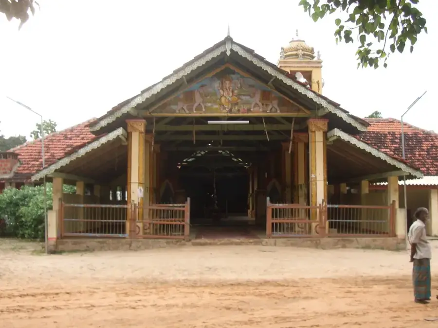
History & landmarks
Nature
More places