Plizio Visual Lab
Gongala
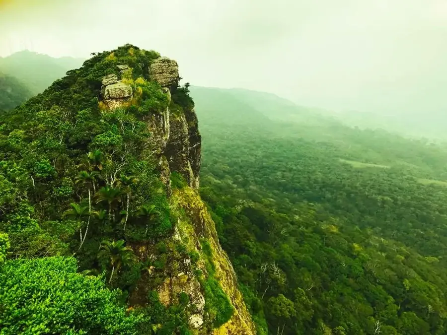
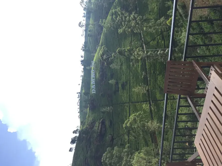
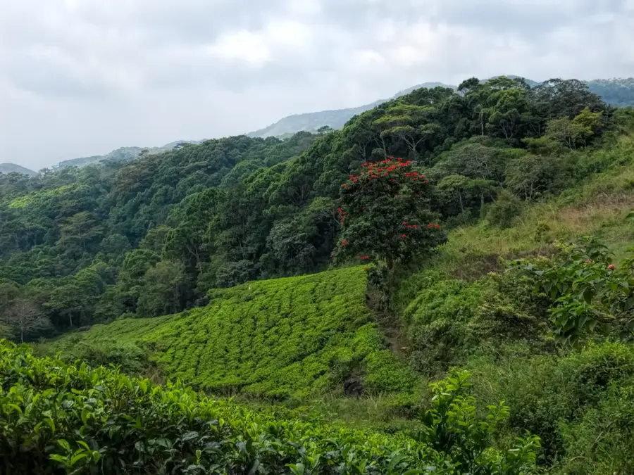
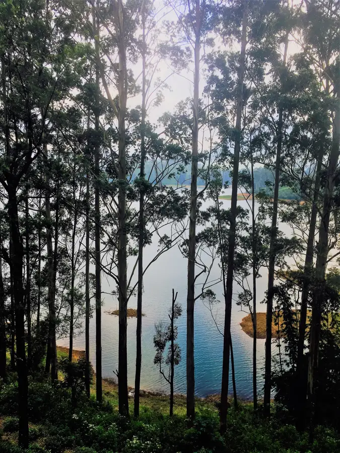
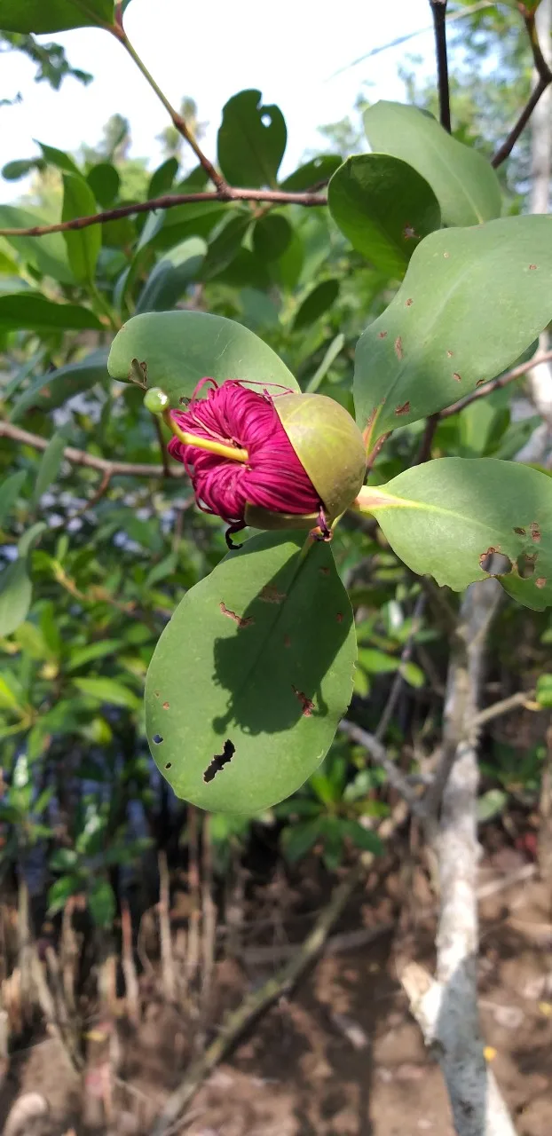
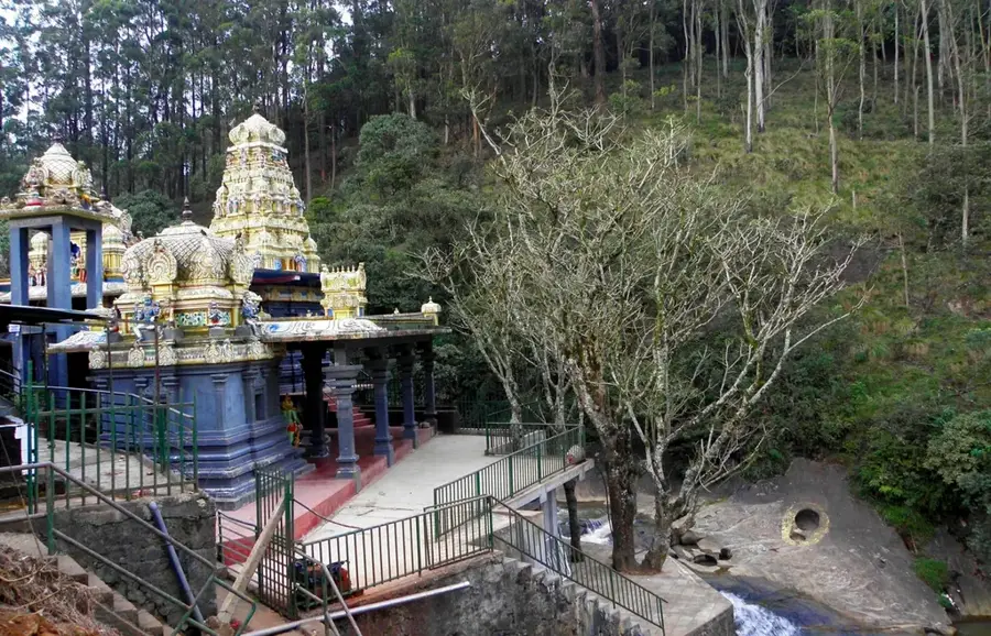
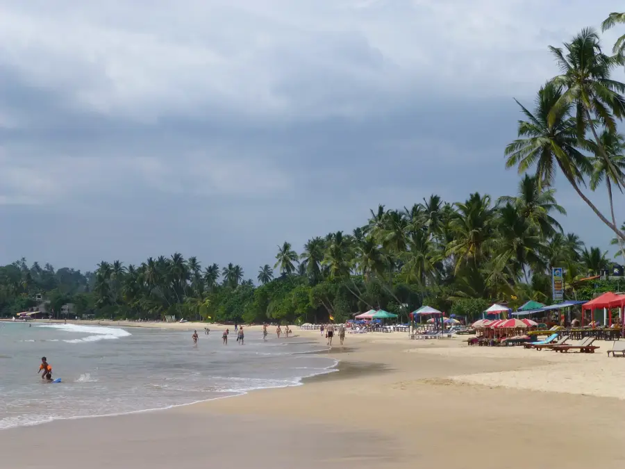
Gongala is the highest peak of the Rakwana mountain range, situated in the Southern Province of Sri Lanka, adjacent to the Sinharaja Forest Reserve. Standing at an elevation of approximately 1358 meters, the summit holds significant strategic importance, currently housing vital communication towers and radar installations operated by the Sri Lankan military. Geologically, the Gongala massif is composed of some of the island's oldest rock formations, defined by sharp escarpments and deep valleys. The vegetation at higher elevations consists of sub-montane rain forests and cloud forests, which boast an exceptionally high rate of endemic flora and fauna. Historically, the region served as a crucial navigational landmark for travelers moving between the southern coast and the central highlands. Due to the military presence, direct access to the summit can be restricted, yet the surrounding trails offer panoramic vistas over the Deniyaya plains and the vast forest canopy. The local climate is noticeably cooler and more humid than the surrounding lowlands, creating unique micro-habitats.
- Location: Sri Lanka
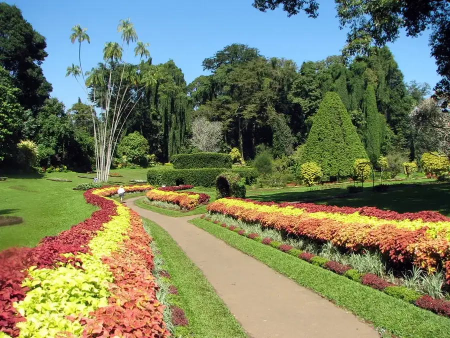
- Top sights: Handapan Ella Falls · Sooriya Kanda · Kurulugala Peak
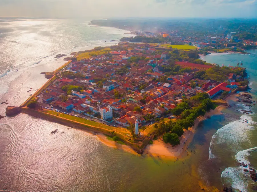
- Nearby: Suduwella (8 km)
Best time to visit & climate
The most pleasant time to visit is Jan, Feb, Jul.
| Jan | Feb | Mar | Apr | May | Jun | Jul | Aug | Sep | Oct | Nov | Dec | |
|---|---|---|---|---|---|---|---|---|---|---|---|---|
| Avg °C | 24 | 25 | 26 | 26 | 26 | 25 | 25 | 25 | 25 | 25 | 25 | 24 |
| Rain mm | 96 | 81 | 106 | 180 | 178 | 106 | 87 | 106 | 149 | 232 | 273 | 190 |
📋 Practical info
Geography
Facts
- Gongala reaches a peak elevation of 1358 meters above sea level.
- It is the highest point in both the Rakwana Range and Southern Province.
- The summit is a restricted area due to military communication facilities.
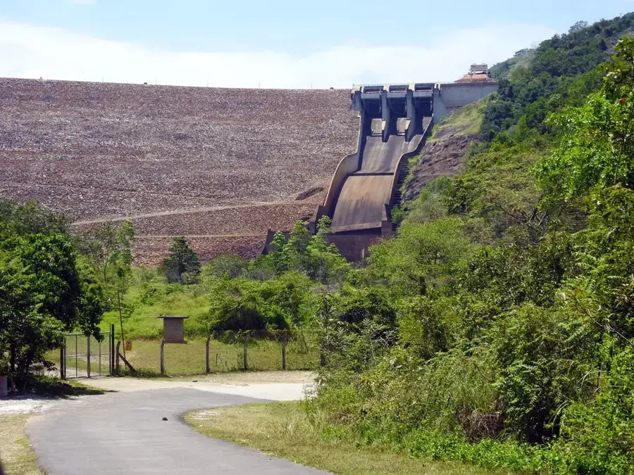
- It acts as a primary catchment area for the Nilwala and Gin rivers.
- The mountain is often shrouded in thick mist, supporting cloud forest life.
- Endemic species like the Purple-faced Langur are frequently sighted nearby.
Explore nearby
Notable places around
Route planner — Car & Motorhome
Where do you start? We build the route here, with stops and country notes along the way.
© OpenStreetMap contributors · OpenRouteService
Sights in the town Gongala (7)
Sights nearby
Frequently asked questions
Where is Gongala mountain located?
Can you drive to the summit?
What is special about the view?
Is it cold on Gongala?
Is a permit required for the visit?
Gongala: where is it located?
Gongala: what is there to see?
Gongala: when is the best time to visit?
Gongala: why is it worth visiting?

Nearby cities

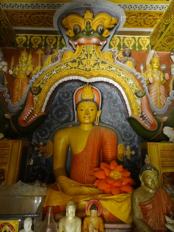
History & landmarks
Nature
More places