Plizio Visual Lab
Horton Plains
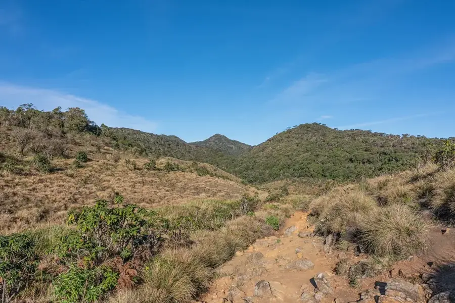
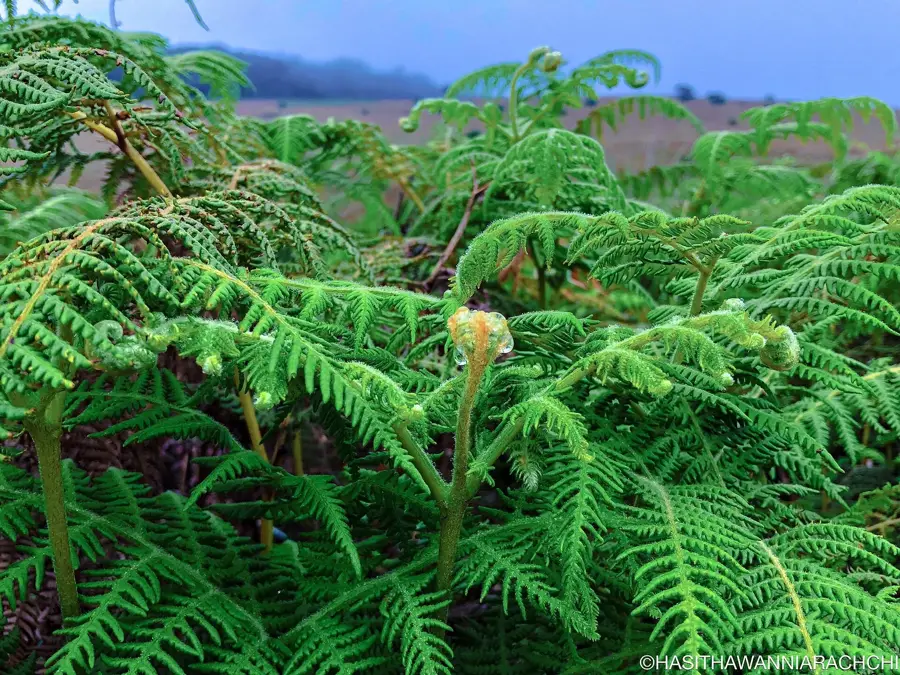
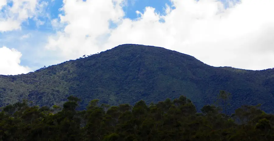
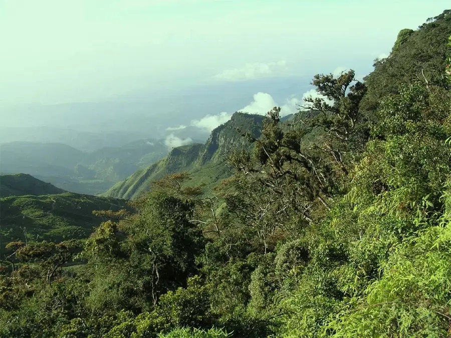
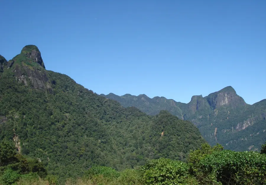
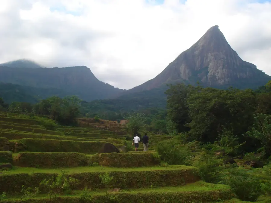
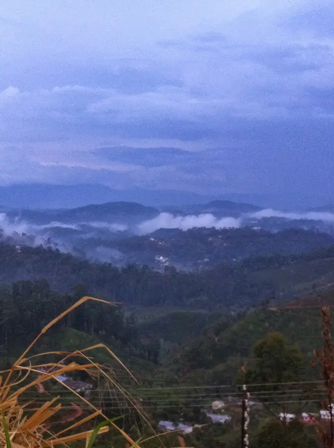
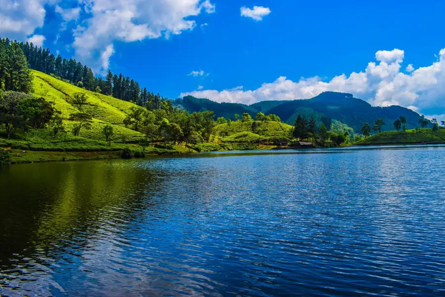
Horton Plains is an expansive highland plateau and a national park in the Central Province of Sri Lanka, situated at an altitude of 2100 to 2300 meters. This mist-shrouded landscape of montane grasslands and dense cloud forests is a unique ecosystem and part of the UNESCO World Heritage site 'Central Highlands of Sri Lanka'. Geologically, the plains form a high-altitude tableland that terminates abruptly at the cliffs of World's End, a precipice with a near-vertical drop of almost 900 meters into the valley below. The region serves as the island's most critical watershed, giving rise to its three major rivers: the Mahaweli, Kelani, and Walawe. Archaeological evidence suggests that the plains were inhabited as early as the prehistoric era. Today, the park is celebrated for its extraordinary biodiversity, hosting the endemic Sambar deer and numerous rare bird species such as the Sri Lanka Whistling Thrush. The serene atmosphere and cool climate make Horton Plains one of the most evocative natural landmarks in Sri Lanka.
- Location: Sri Lanka
- Top sights: Mini World's End · Mahaveli River Source Stream · Adam's Peak View
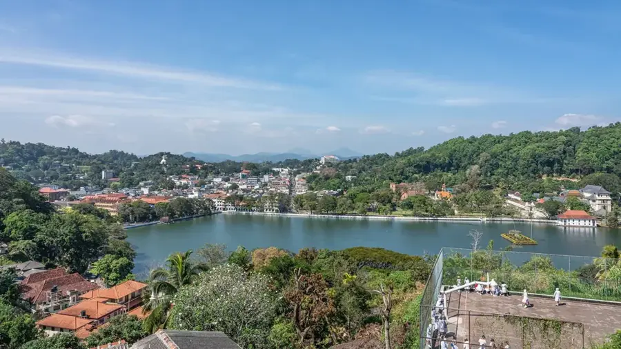
- Nearby: Knuckles Range (12 km)
Best time to visit & climate
The most pleasant time to visit is Feb, Jun, Jul.
| Jan | Feb | Mar | Apr | May | Jun | Jul | Aug | Sep | Oct | Nov | Dec | |
|---|---|---|---|---|---|---|---|---|---|---|---|---|
| Avg °C | 23 | 23 | 25 | 26 | 26 | 26 | 26 | 26 | 26 | 25 | 24 | 23 |
| Rain mm | 144 | 106 | 102 | 155 | 128 | 62 | 50 | 65 | 112 | 221 | 289 | 262 |
📋 Practical info
Geography
Facts
- Horton Plains covers an area of 3,160 hectares of highland terrain.
- The plateau is home to the island's second and third highest peaks.
- The World's End cliff is a 870-meter (2,854 ft) sheer drop.
- It is the only national park in Sri Lanka where visitors can walk freely.
- The montane forests are characterized by dwarf trees and heavy lichen.
- Nearly all of Sri Lanka's endemic bird species can be found here.
Explore nearby
Notable places around
Route planner — Car & Motorhome
Where do you start? We build the route here, with stops and country notes along the way.
© OpenStreetMap contributors · OpenRouteService
Sights in the town Horton Plains (5)
World's End (Plate 2)
Second section of the cliff, also offering a dramatic drop view, in the park.
Sights nearby
Frequently asked questions
What is World's End?
How strenuous is the hike?
When should you arrive at the park entrance?
Is plastic allowed in the park?
What clothing is recommended?
Horton Plains: where is it located?
Horton Plains: what is there to see?
Horton Plains: when is the best time to visit?
Horton Plains: why is it worth visiting?

Nearby cities

More places