Plizio Visual Lab
Taufikia
Weather…
Water temperature…
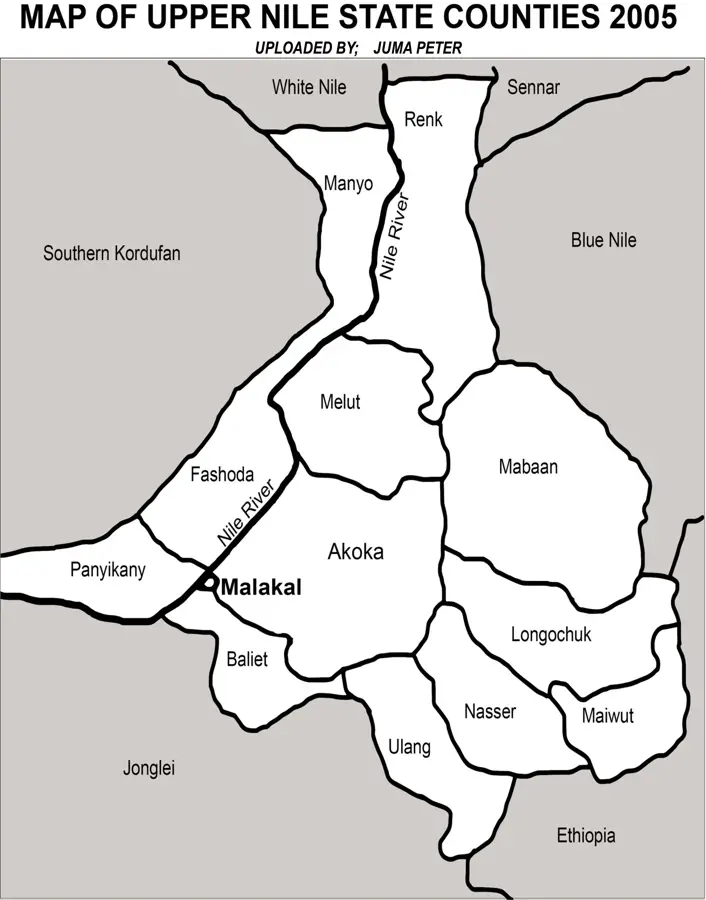
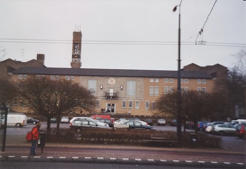
Taufikia, located near modern-day Malakal on the White Nile, was a significant military and commercial outpost in the 19th century. It was established in 1870 by Sir Samuel Baker during his expedition to suppress the slave trade and expand Egyptian rule into equatorial Africa. The post served as a strategic checkpoint for river traffic and was a critical base for intercepting slave caravans. The site was named after Tewfik Pasha, who later became the Khedive of Egypt. During the Mahdist Revolt in the 1880s, Taufikia became a contested position before it was eventually abandoned. The remains of the fortifications and its proximity to the confluence of the Nile and Sobat rivers make it a historically vital site for researching colonial expansion and anti-slavery efforts. Today, the location serves as a reminder of the complex geopolitical shifts involving the Ottoman Empire, Egypt, and the British Empire.
- Location: South Sudan
- Nearby: Kodok (65 km)
Best time to visit & climate
The most pleasant time to visit is Jan, Nov, Dec.
| Jan | Feb | Mar | Apr | May | Jun | Jul | Aug | Sep | Oct | Nov | Dec | |
|---|---|---|---|---|---|---|---|---|---|---|---|---|
| Avg °C | 28 | 31 | 33 | 33 | 31 | 29 | 27 | 26 | 27 | 28 | 29 | 28 |
| Rain mm | 0 | 0 | 1 | 22 | 80 | 104 | 141 | 172 | 145 | 92 | 5 | 2 |
📋 Practical info
Geography
Facts
- Established in 1870 by the explorer Sir Samuel Baker.
- Named after Tewfik Pasha, the son of Khedive Ismail.
- Primary function was a base to suppress the regional slave trade.
- Located on the White Nile near the Sobat river confluence.
- Evacuated during the Mahdist Revolt in the 1880s.
- Baker used the site as winter headquarters during his mission.
Explore nearby
Notable places around
Route planner — Car & Motorhome
Where do you start? We build the route here, with stops and country notes along the way.
© OpenStreetMap contributors · OpenRouteService
Sights nearby
Frequently asked questions
What was Taufikia?
Is the visit safe?
Are there museums there?
When is the area best to visit?
What is the condition of the ruins?
Taufikia: where is it located?
Taufikia: when is the best time to visit?
Taufikia: why is it worth visiting?

Nearby cities


History & landmarks

Nature
More places