Plizio Visual Lab
Renk Grain Belt

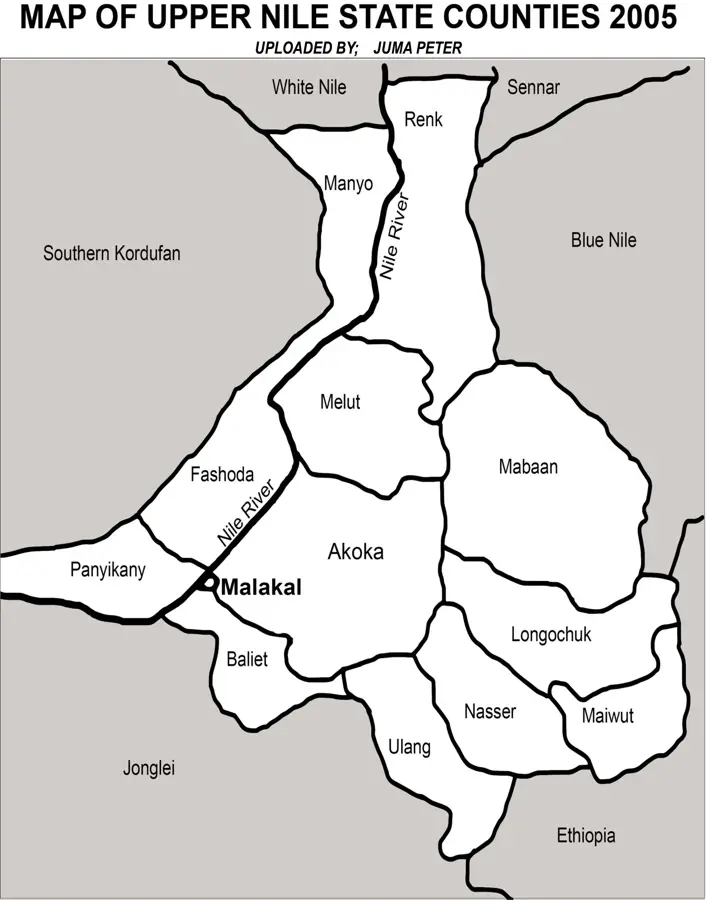
The Renk Grain Belt in Upper Nile State is often referred to as the breadbasket of South Sudan. This region is the center of large-scale mechanized farming in the country, spanning vast plains east of the White Nile. The primary crops cultivated here include sorghum (locally known as dura), sesame, and sunflowers. Agricultural development in Renk began in the 1960s and was significantly expanded through government-backed schemes. The area plays a decisive role in national food security, providing a substantial portion of the grain required for domestic markets. The flat terrain and fertile clay soils facilitate the use of tractors and harvesters across thousands of hectares. Despite the challenges posed by regional instability and poor infrastructure, Renk remains a strategic economic asset. Crop yields are highly dependent on the seasonal rainfall occurring between June and October each year.
Best time to visit & climate
The most pleasant time to visit is Jan, Feb, Dec.
| Jan | Feb | Mar | Apr | May | Jun | Jul | Aug | Sep | Oct | Nov | Dec | |
|---|---|---|---|---|---|---|---|---|---|---|---|---|
| Avg °C | 25 | 27 | 29 | 32 | 31 | 29 | 28 | 27 | 28 | 30 | 28 | 26 |
| Rain mm | 0 | 0 | 1 | 7 | 36 | 50 | 111 | 137 | 86 | 54 | 2 | 1 |
📋 Practical info
Geography
Facts
- Renk is the largest region for mechanized agriculture in South Sudan.
- Sorghum (dura) is the primary crop grown in the area.
- Large-scale farming operations began in Renk during the 1960s.
- The region is strategically located along the White Nile river.
- Sesame from Renk is a key agricultural export for the region.
- The cultivated area encompasses several hundred thousand hectares.
Explore nearby
Notable places around
Route planner — Car & Motorhome
Where do you start? We build the route here, with stops and country notes along the way.
© OpenStreetMap contributors · OpenRouteService
Sights nearby
Frequently asked questions
What defines the Renk grain belt?
Is the region interesting for tourists?
Can one learn agricultural techniques there?
When should one avoid the region?
Are there markets nearby?
Renk Grain Belt: where is it located?
Renk Grain Belt: when is the best time to visit?
Renk Grain Belt: why is it worth visiting?

Nearby cities


History & landmarks
Nature
More places