Plizio Visual Lab
Kurtunwarey

ℹ️Practical info — Kurtunwarey
▾
🌤 Weather — 5 days
📍 Nearby
Sights nearby
💡 Tips
- Travel to this region only after consulting with local authorities or experienced security experts.
- Visit the agricultural zones ideally in the early morning hours to avoid the heat.
- Do not photograph people or facilities without clear prior permission.
- Bring enough drinking water and essential supplies for the entire day.
🍽 Food
This aromatically spiced Somali rice is often offered in small local eateries.
A regional specialty often served roasted or as a hearty stew.
Enjoy bananas and papayas directly from the nearby irrigated plantations.
🛍 Shopping · 🧘 Quiet spots
The meeting point for farmers to buy sesame, local maize, and fresh vegetables.
A stroll along the water gives some quiet in the late afternoon.
Water temperature…
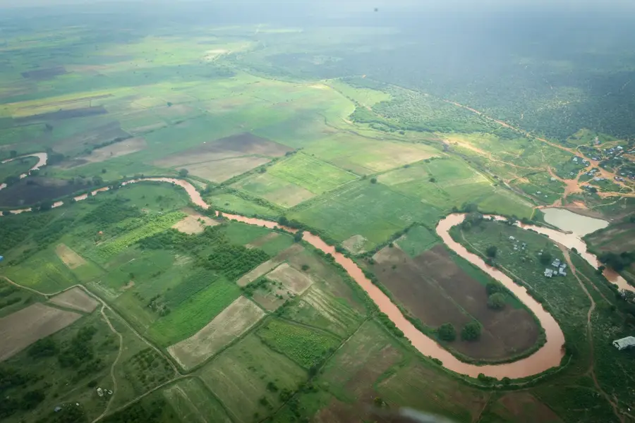
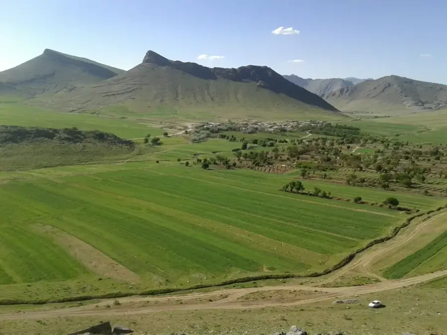
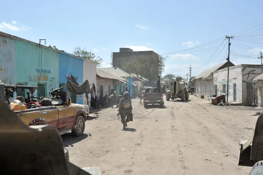
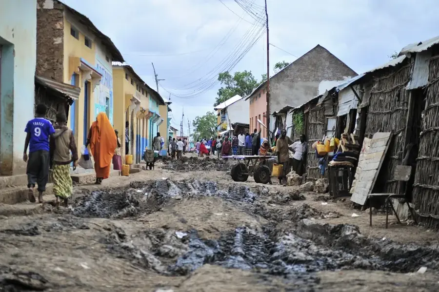
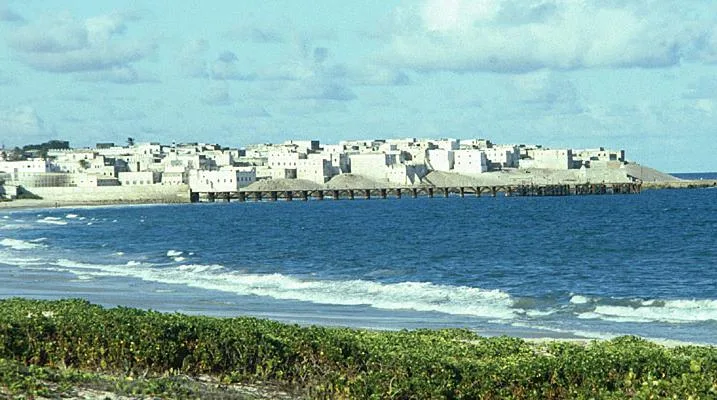
Kurtunwarey is a prominent agricultural hub located in the Lower Shabelle region of southern Somalia. The town and its surrounding district leverage their proximity to the Shabelle River, enabling intensive irrigation-based farming in an otherwise semi-arid landscape. The region's fertile alluvial soils are highly suitable for growing bananas, citrus fruits, maize, and beans, which form the backbone of the local economy. Historically, Kurtunwarey was part of the early 20th-century Italian colonial efforts to establish large-scale commercial plantations in Somalia. Although situated away from major national highways, the town is linked via regional trade routes to the coastal city of Merca and the inland hub of Afgooye. Despite facing challenges from climatic variability and political instability, Kurtunwarey remains a vital food production center for the southern territories. The social fabric is deeply intertwined with farming traditions and communal water management systems.
- Location: Somalia
- Nearby: Qoryoley (35 km)
Best time to visit & climate
The most pleasant time to visit is Jul–Sep.
| Jan | Feb | Mar | Apr | May | Jun | Jul | Aug | Sep | Oct | Nov | Dec | |
|---|---|---|---|---|---|---|---|---|---|---|---|---|
| Avg °C | 28 | 28 | 29 | 29 | 28 | 27 | 26 | 26 | 27 | 27 | 28 | 28 |
| Rain mm | 6 | 2 | 22 | 127 | 74 | 36 | 16 | 23 | 17 | 84 | 94 | 30 |
Geography
Facts
- Located in the fertile Shabelle River valley.
- Hub for cultivation of export crops like bananas.
- Was a focus for colonial agricultural development after 1920.
- Utilizes an extensive network of irrigation canals.
- Situated southwest of the regional hub Afgooye.
- Economy is almost entirely based on agricultural output.
Explore nearby
Notable places around
Route planner — Car & Motorhome
Where do you start? We build the route here, with stops and country notes along the way.
© OpenStreetMap contributors · OpenRouteService
Frequently asked questions
What is Kurtunwarey?
What is the environment like?
Is it touristy?
How to travel here?
What to watch out for?
Kurtunwarey: where is it located?
Kurtunwarey: when is the best time to visit?
Kurtunwarey: why is it worth visiting?

Nearby cities
History & landmarks

More places