Plizio Visual Lab
Burao Valley Basin

Weather…
Water temperature…
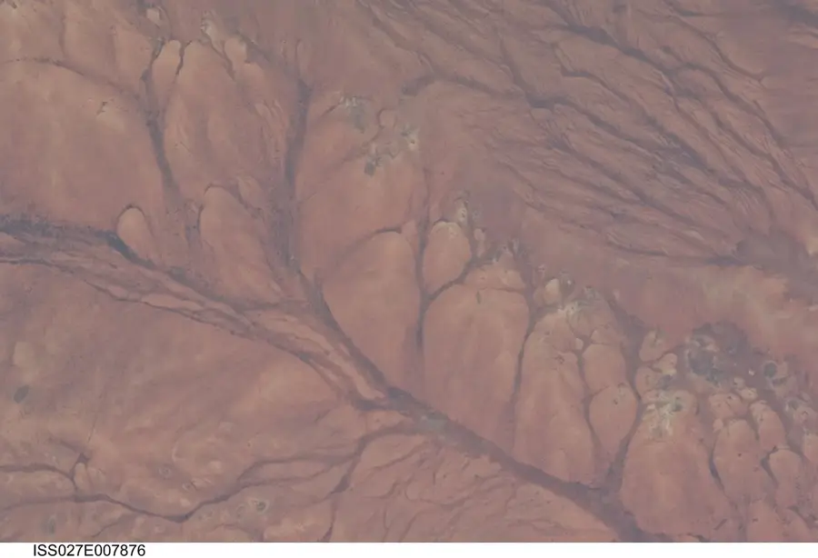
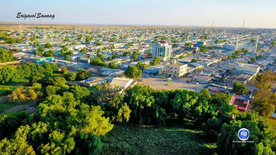
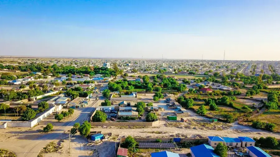
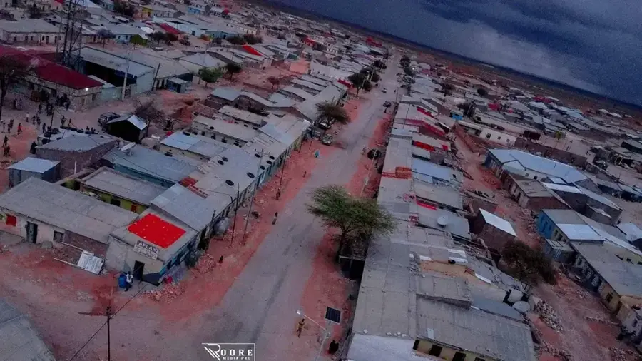
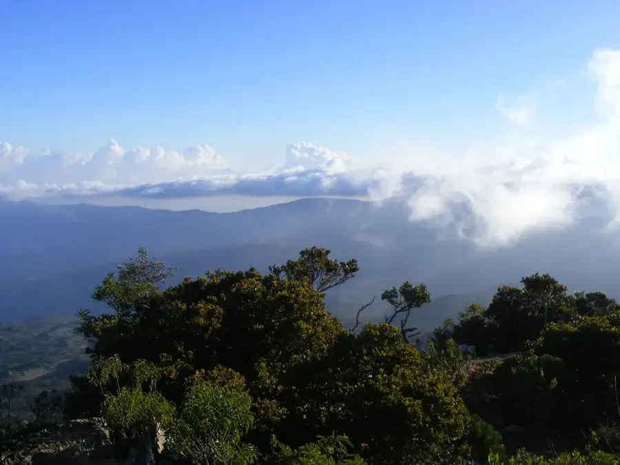
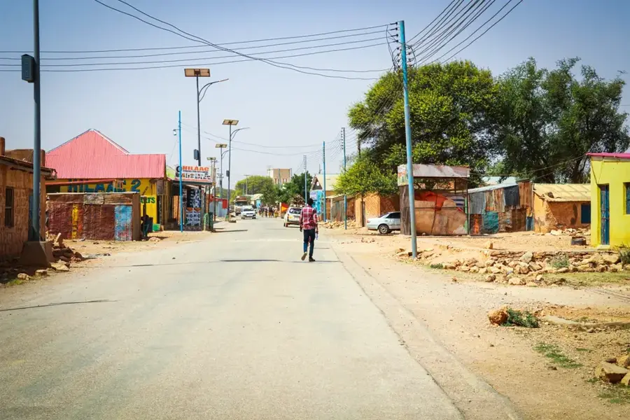
The Burao Valley Basin in the center of Somaliland is a geographically significant depression shaped by the seasonal Togdheer River. This basin is located on a plateau at an altitude of approximately 1,000 meters and forms an important agricultural and pastoral center in an otherwise arid environment. The city of Burao, the second largest in the country, is situated right in the heart of this valley and benefits from the fertile alluvial soils. During the rainy season, the Togdheer fills up and transforms the basin into a green oasis that attracts thousands of nomads with their livestock. Historically, the valley was a junction for caravan routes linking the Ethiopian highlands with the coastal cities of Berbera and Zeila. The vegetation consists mainly of drought-resistant grasses and acacia forests, which are used for charcoal production and as a source of fodder. The geological structure of the basin allows for the storage of surface water in natural depressions, which ensures survival during the long dry periods.
- Location: Somalia
- Nearby: Burao (8 km)
Best time to visit & climate
The most pleasant time to visit is Jan, Feb, Dec.
| Jan | Feb | Mar | Apr | May | Jun | Jul | Aug | Sep | Oct | Nov | Dec | |
|---|---|---|---|---|---|---|---|---|---|---|---|---|
| Avg °C | 21 | 22 | 25 | 26 | 27 | 26 | 26 | 26 | 27 | 25 | 22 | 21 |
| Rain mm | 5 | 4 | 12 | 68 | 36 | 17 | 8 | 17 | 24 | 32 | 24 | 11 |
📋 Practical info
Geography
Facts
- The city of Burao is situated at an altitude of 1,037 meters.
- The Togdheer River carries water only after heavy rainfall.
- The valley is one of the largest livestock trading hubs in East Africa.
- The annual rainfall amounts to an average of 220 mm.
- Historical ruins nearby indicate settlement since ancient times.
- The basin is bordered by the Ogo mountain range to the north.
Explore nearby
Notable places around
Route planner — Car & Motorhome
Where do you start? We build the route here, with stops and country notes along the way.
© OpenStreetMap contributors · OpenRouteService
Sights nearby
Frequently asked questions
Can you camp in Burao Valley?
Are there local markets in the valley?
Is the valley hot all year?
Are there hiking routes nearby?
How far is the valley from the coast?
Burao Valley Basin: where is it located?
Burao Valley Basin: when is the best time to visit?
Burao Valley Basin: why is it worth visiting?

Nearby cities
More places