Plizio Visual Lab
Peanut Basin
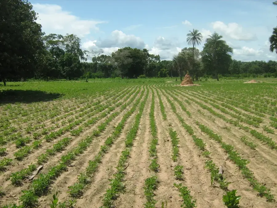
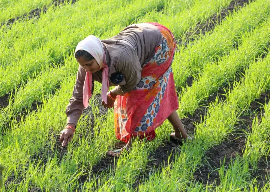
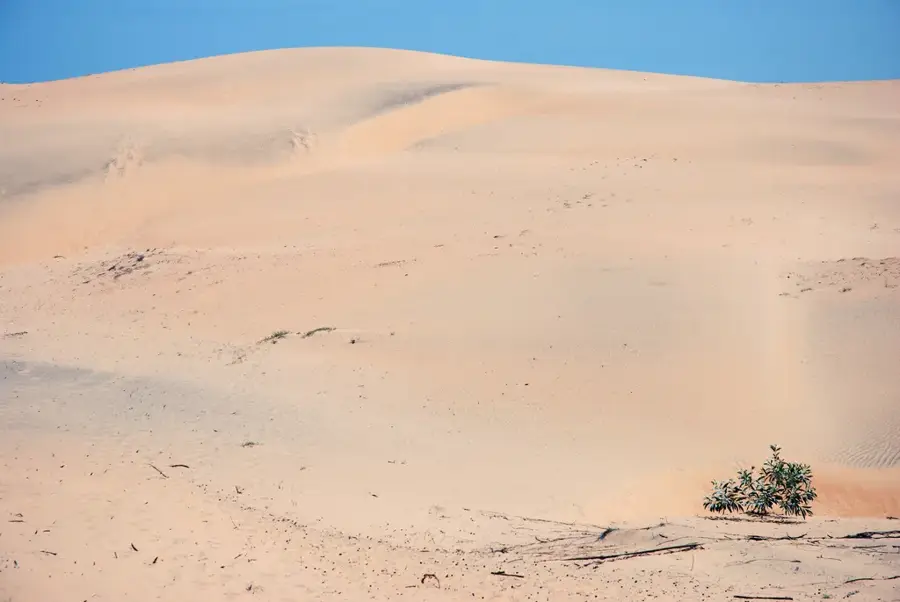
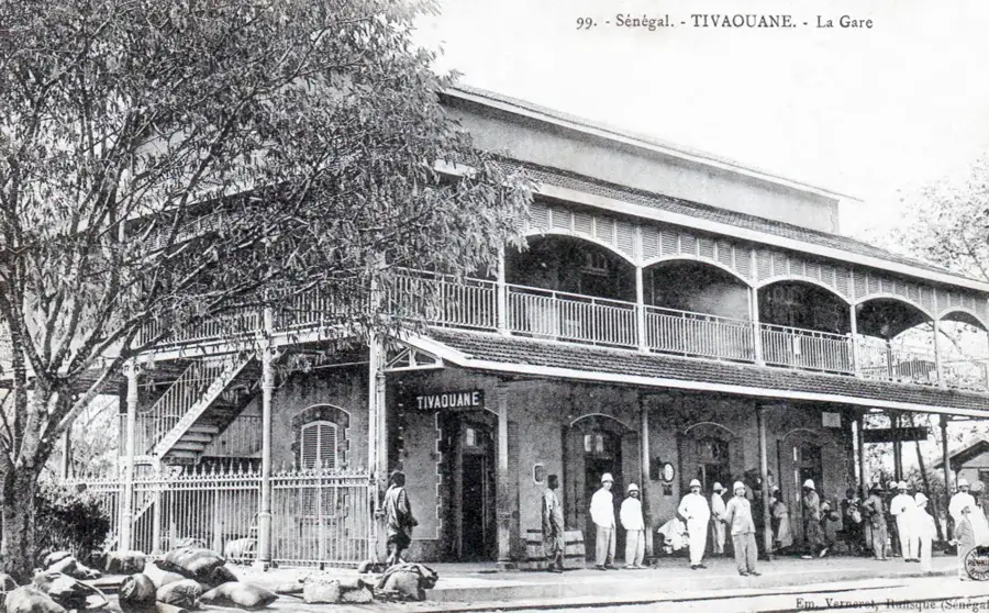
The Peanut Basin, known as the Bassin Arachidier, serves as the agricultural heartland of Senegal, spanning the administrative regions of Kaolack, Fatick, Kaffrine, and Diourbel. This territory was systematically developed during the late 19th-century colonial era to facilitate the large-scale cultivation of groundnuts for international export. The region's light, sandy soils are perfectly suited for Arachis hypogaea, which became the nation's primary cash crop and foreign exchange earner. Farming in the basin is predominantly rain-fed, making the local economy highly susceptible to the annual variations in Sahelian rainfall. Beyond industrial oil production, the basin is vital for national food security and provides a livelihood for millions of rural workers. In recent decades, soil degradation and shifting climate patterns have led to a diversification of crops, with increasing cultivation of millet and maize. The cities of Kaolack and Touba function as the principal logistical hubs for the processing and transport of the harvest. The Peanut Basin remains the backbone of Central Senegal's rural identity and economic vitality despite significant environmental challenges.
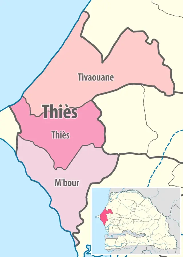
- Location: Senegal
- Nearby: Thiès (48 km)
Best time to visit & climate
The most pleasant time to visit is Jan, Feb, Dec.
| Jan | Feb | Mar | Apr | May | Jun | Jul | Aug | Sep | Oct | Nov | Dec | |
|---|---|---|---|---|---|---|---|---|---|---|---|---|
| Avg °C | 24 | 26 | 28 | 29 | 30 | 30 | 29 | 28 | 27 | 28 | 27 | 25 |
| Rain mm | 2 | 2 | 1 | 3 | 1 | 38 | 121 | 239 | 183 | 46 | 2 | 0 |
📋 Practical info
Geography
Facts
- Senegal has historically ranked among the top five groundnut exporters globally.
- The region encompasses an area of approximately 50,000 square kilometers.
- Groundnuts constitute a major portion of Senegal's total agricultural exports.
- Kaolack is widely recognized as the unofficial capital of the Peanut Basin.
- The harvesting season occurs during the dry months from November to February.
- Over 40% of the country's total cultivated land is located within this zone.
Explore nearby
Notable places around
Route planner — Car & Motorhome
Where do you start? We build the route here, with stops and country notes along the way.
© OpenStreetMap contributors · OpenRouteService
Sights nearby
Frequently asked questions
What is the peanut basin?
Is this zone developed for tourism?
When is the harvest here?
Is this a good area for photography?
Which city is a good starting point?
Peanut Basin: where is it located?
Peanut Basin: when is the best time to visit?
Peanut Basin: why is it worth visiting?

Nearby cities
History & landmarks
More places