Plizio Visual Lab
Thiès Forest

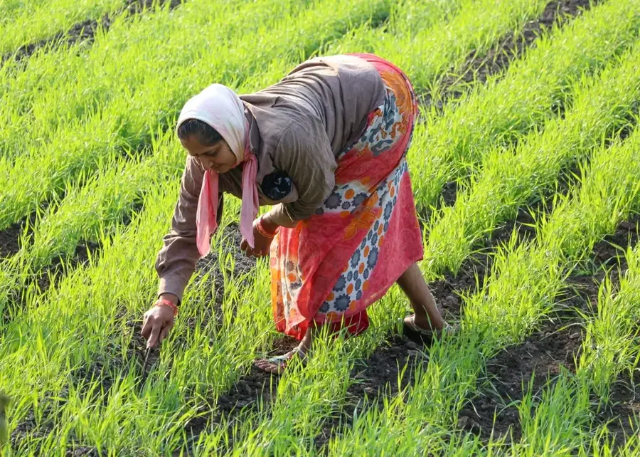
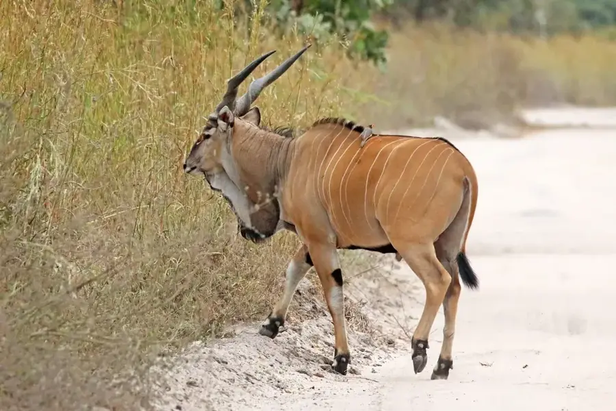
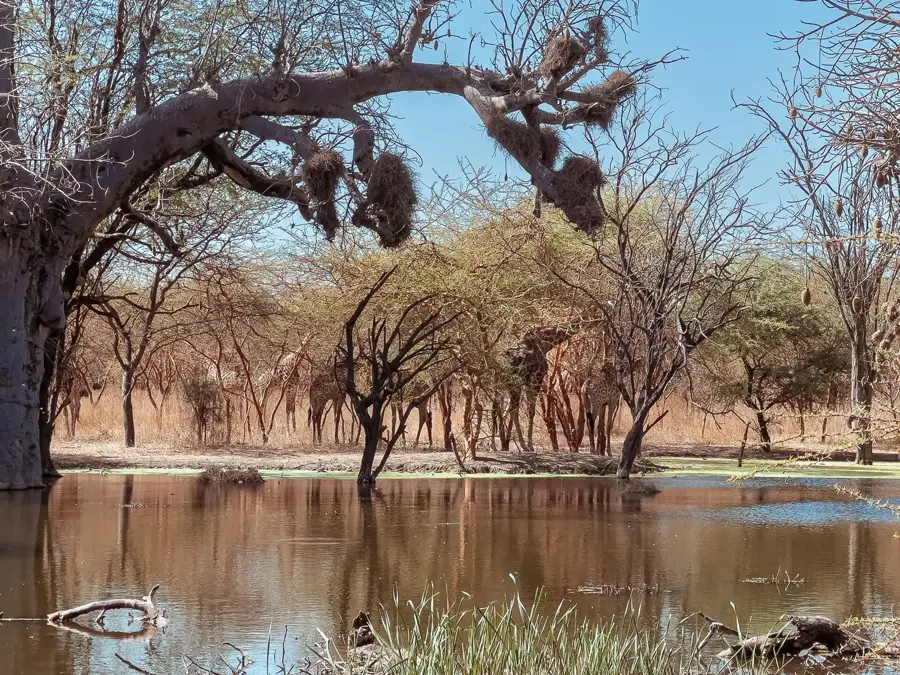
The Thiès Classified Forest is situated on the prominent plateau just east of the city of Thiès, serving as a vital ecological sanctuary in western Senegal. It covers a hilly terrain that stands in stark contrast to the surrounding flat plains, characterized geologically by lateritic rock formations. The vegetation is a resilient mix of Sudano-Sahelian savanna, featuring massive baobab trees and various acacia species that form a protective belt against soil erosion and strong winds. The forest plays a key role in the local climate by mitigating temperatures in the rapidly expanding city of Thiès and acting as a critical catchment area for groundwater recharge. Despite its protected status, the forest faces environmental pressures from illegal logging and the encroachment of nearby limestone quarries. Nevertheless, it remains a popular destination for hiking and nature study, as it encompasses one of the few easily accessible highland areas in the country. Conservation initiatives are currently working to safeguard its biodiversity and defend its borders against urban sprawl.
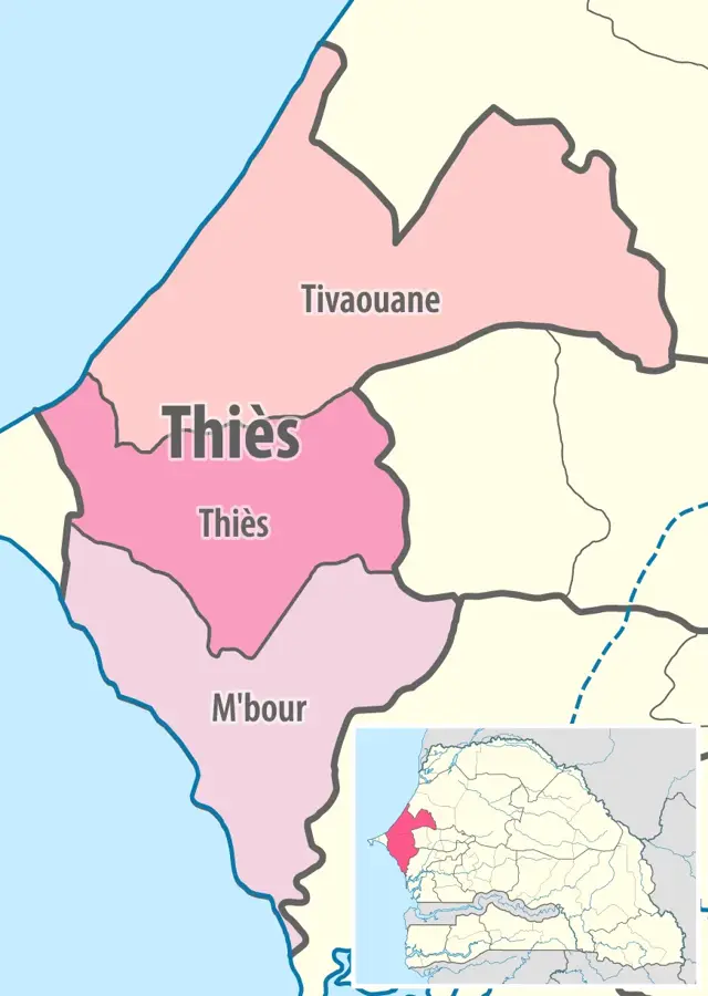
- Location: Senegal
- Nearby: Somone (39 km)
Best time to visit & climate
The most pleasant time to visit is Jan, Feb, Dec.
| Jan | Feb | Mar | Apr | May | Jun | Jul | Aug | Sep | Oct | Nov | Dec | |
|---|---|---|---|---|---|---|---|---|---|---|---|---|
| Avg °C | 23 | 23 | 24 | 24 | 25 | 28 | 28 | 28 | 28 | 28 | 26 | 24 |
| Rain mm | 8 | 9 | 21 | 9 | 2 | 17 | 89 | 176 | 150 | 42 | 8 | 7 |
📋 Practical info
Geography
Facts
- Officially designated as a classified forest in 1937.
- The Thiès plateau reaches an elevation of approximately 130 meters.
- Important site for the collection of non-timber forest products.
- Home to a high density of majestic baobab trees.
- Acts as a natural windbreak for the growing city of Thiès.
- The geological base consists of phosphate-rich lateritic rock.
Explore nearby
Notable places around
Route planner — Car & Motorhome
Where do you start? We build the route here, with stops and country notes along the way.
© OpenStreetMap contributors · OpenRouteService
Sights in the town Thiès Forest (1)
Sights nearby
Frequently asked questions
Is the Thies Forest good for hiking?
Best time of day?
Do I need a guide?
Are there parking spots?
Are there facilities?
Thiès Forest: where is it located?
Thiès Forest: when is the best time to visit?
Thiès Forest: why is it worth visiting?

Nearby cities
History & landmarks
More places