Plizio Visual Lab
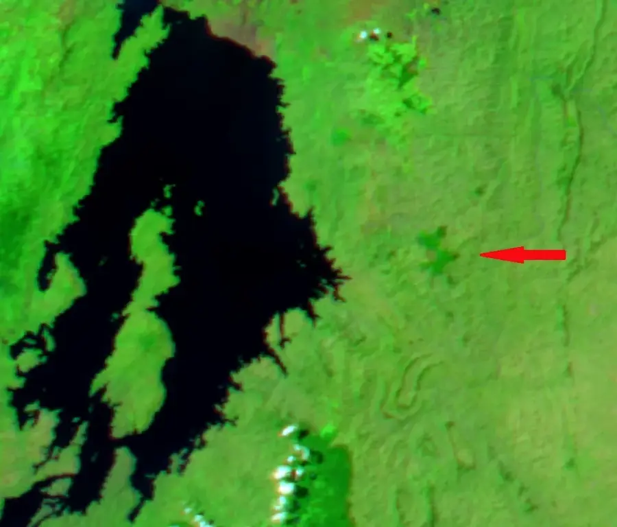
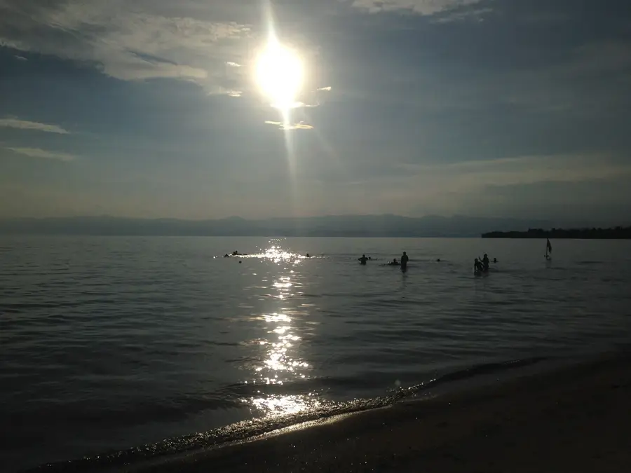
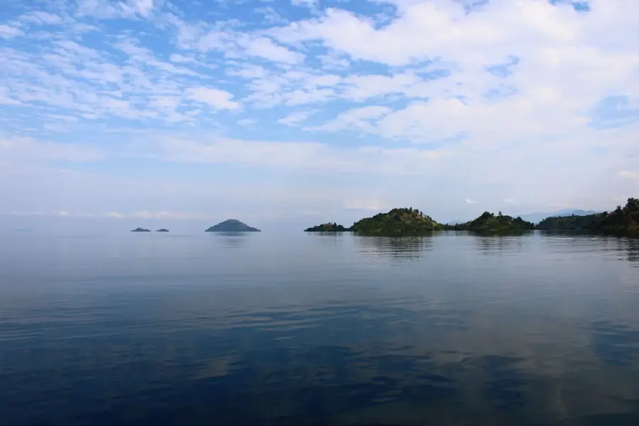
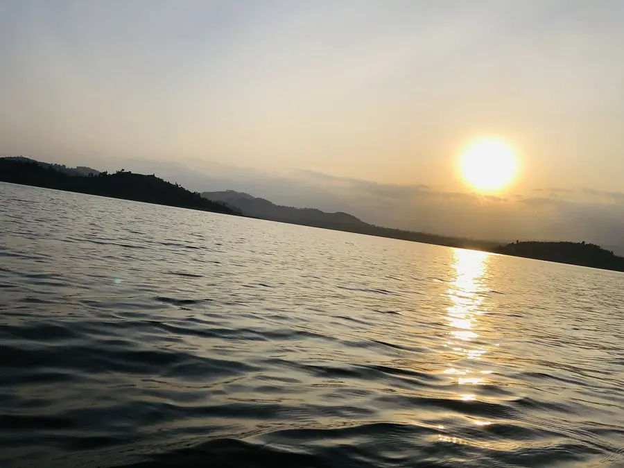
Lake Kivu
Weather…
Water temperature…
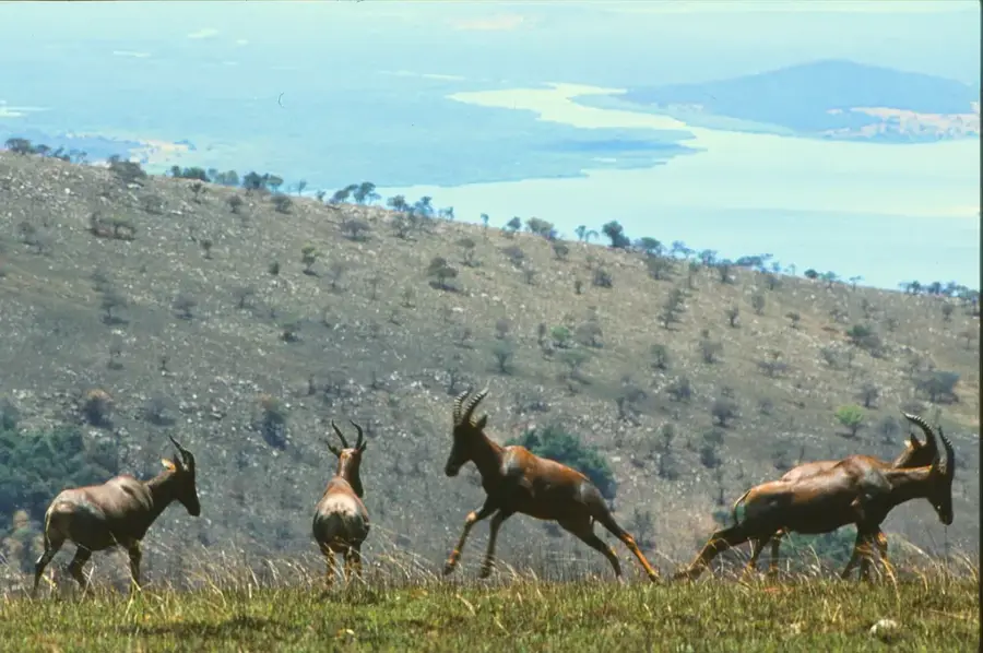
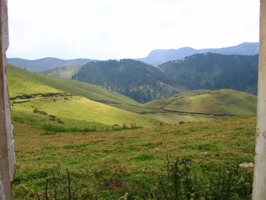
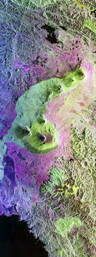
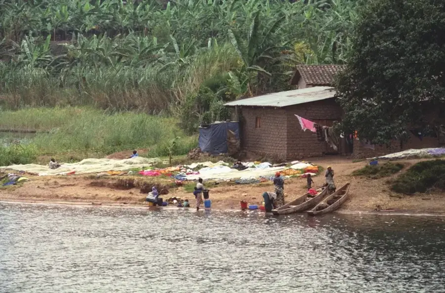
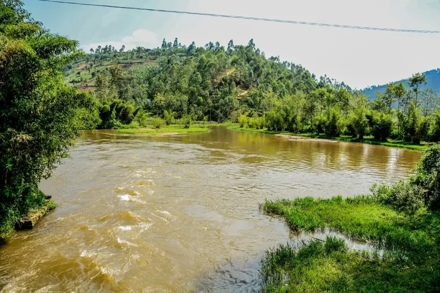
Lake Kivu is one of the African Great Lakes, situated on the border between Rwanda and the Democratic Republic of the Congo within the Albertine Rift. It covers an area of approximately 2,700 square kilometers and lies at an elevation of 1,460 meters above sea level. Geologically, it is a meromictic lake, meaning its layers of water do not mix, which has led to the accumulation of vast amounts of dissolved methane and carbon dioxide in its depths. This unique feature is harnessed by the KivuWatt project, which extracts methane from the lake bed to generate electricity for the national grid. The lake is surrounded by steep terraced hills and contains several islands, the largest being Idjwi Island, which is one of the largest inland islands in Africa. Historically, the lake has been a vital transport corridor and a source of livelihood for local fishing communities, primarily for the 'Sambaza' sardines. Today, it remains a critical asset for energy production and tourism.
- Location: Rwanda
- Nearby: Napoleon Island (Nyamunini) (12 km)
Best time to visit & climate
The most pleasant time to visit is Jun–Aug.
| Jan | Feb | Mar | Apr | May | Jun | Jul | Aug | Sep | Oct | Nov | Dec | |
|---|---|---|---|---|---|---|---|---|---|---|---|---|
| Avg °C | 18 | 19 | 19 | 19 | 18 | 18 | 18 | 18 | 19 | 19 | 18 | 18 |
| Rain mm | 154 | 144 | 204 | 176 | 126 | 61 | 38 | 83 | 134 | 187 | 227 | 181 |
📋 Practical info
Geography
Facts
- Covers an area of 2,700 km², shared between Rwanda and the DR Congo.
- Reaches a maximum depth of 480 meters, making it one of the deepest lakes globally.
- Contains an estimated 65 billion cubic meters of dissolved methane gas.
- The KivuWatt power plant is the first commercial project to extract methane for energy.
- Idjwi Island within the lake is approximately 340 km² in size.
- Identified as one of three lakes in the world prone to limnic eruptions.
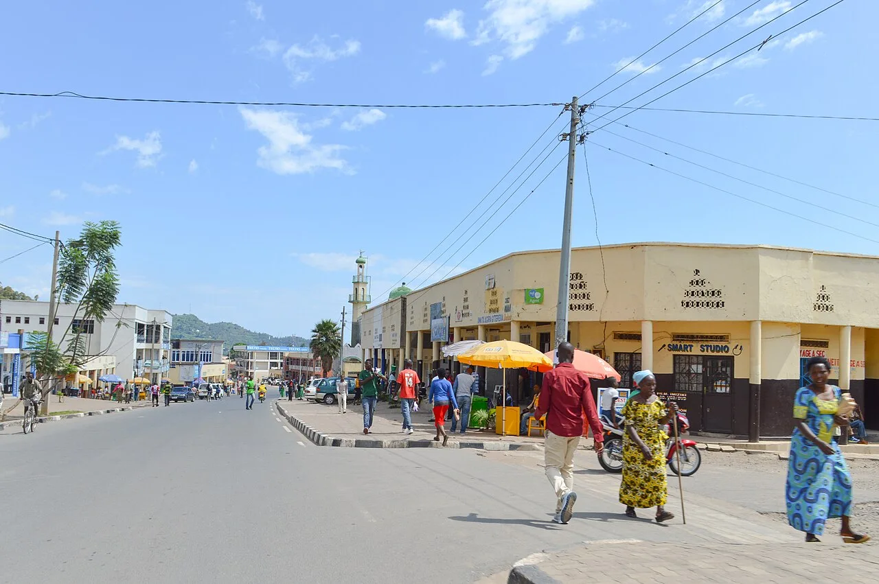
Explore nearby
Notable places around
Route planner — Car & Motorhome
Where do you start? We build the route here, with stops and country notes along the way.
© OpenStreetMap contributors · OpenRouteService
Sights nearby
Frequently asked questions
How big is Lake Kivu?
Are there risks from gases?
Can you book boat tours?
Are there islands to visit?
What is the water temperature?
Lake Kivu: where is it located?
Lake Kivu: when is the best time to visit?
Lake Kivu: why is it worth visiting?

Nearby cities
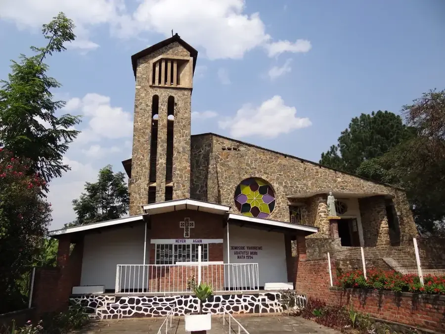
History & landmarks

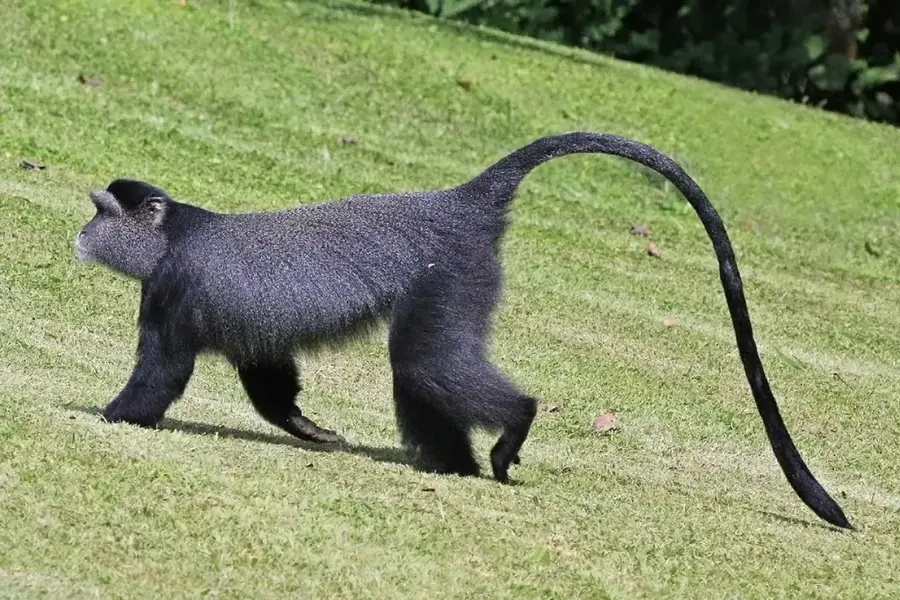
Nature
More places