Plizio Visual Lab
Chucunaque River
Weather…
Water temperature…
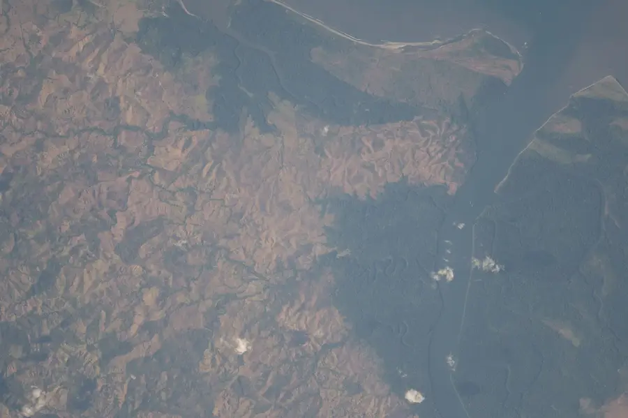
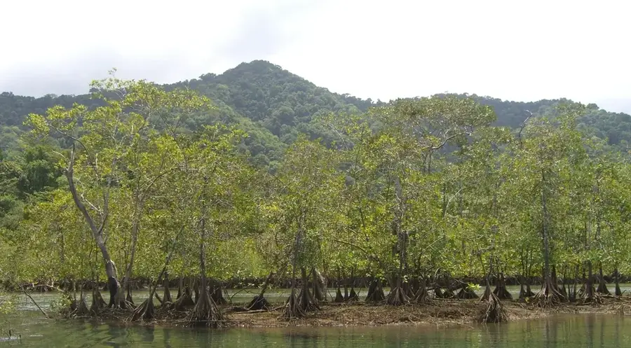
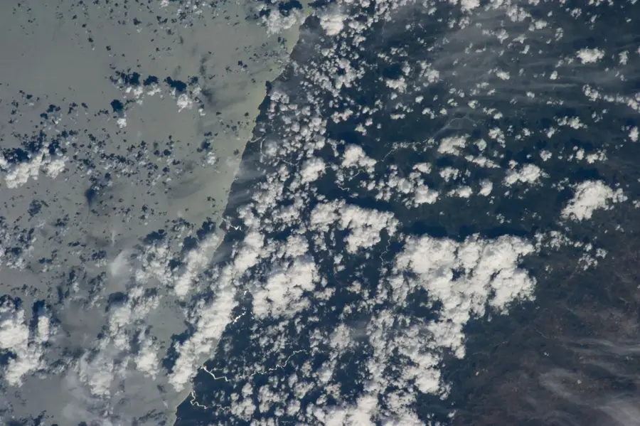
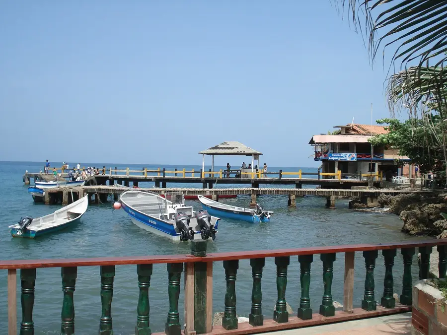
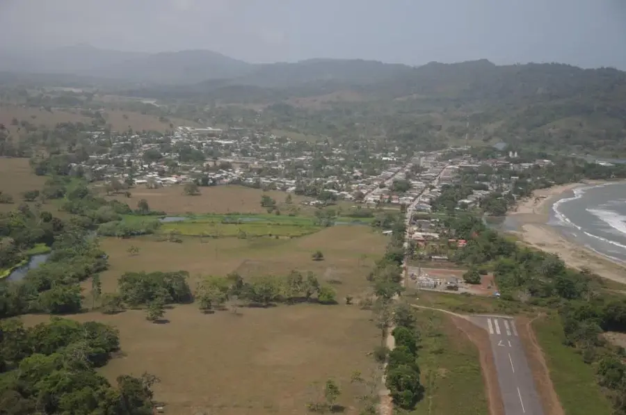
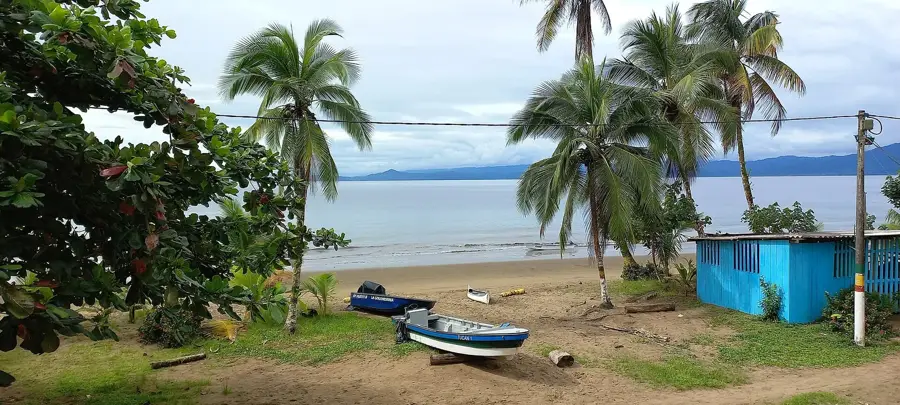
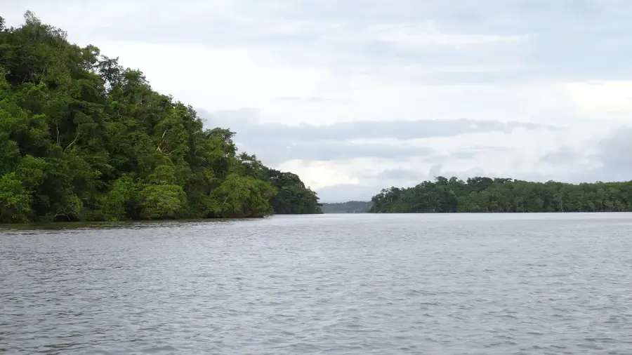
The Chucunaque River is one of the longest rivers in Panama, measuring approximately 231 kilometers, and is the primary tributary of the Tuira River. It originates in the Cordillera de San Blas and flows southward through the Darién Province. The river plays a crucial role in the region's hydrological balance and is the main water source for numerous indigenous communities. As paved roads are virtually non-existent in this part of Panama, the Chucunaque serves as the primary transportation route for goods and people. The river's course is characterized by tight meanders and dense riparian vegetation, providing habitat for jaguars, harpy eagles, and caimans. Navigating the Chucunaque requires significant experience due to water level fluctuations between the rainy and dry seasons. Culturally, the river is deeply rooted in the myths and daily lifestyle of the local population.
Best time to visit & climate
The most pleasant time to visit is Jan–Mar.
| Jan | Feb | Mar | Apr | May | Jun | Jul | Aug | Sep | Oct | Nov | Dec | |
|---|---|---|---|---|---|---|---|---|---|---|---|---|
| Avg °C | 26 | 27 | 28 | 28 | 27 | 27 | 26 | 26 | 26 | 26 | 26 | 26 |
| Rain mm | 45 | 18 | 53 | 165 | 267 | 253 | 220 | 221 | 253 | 248 | 240 | 149 |
📋 Practical info
Geography
Facts
- The Chucunaque River is 231 km long, one of the longest in the country.
- It originates near the border of the Guna Yala indigenous territory.
- The river merges with the Tuira River at the town of Yaviza.
- Yaviza marks the dead end of the northern Pan-American Highway.
- The river is the main transport artery for the Emberá-Wounaan region.
- Its basin experiences some of the highest annual rainfall levels in Panama.
Explore nearby
Notable places around
Route planner — Car & Motorhome
Where do you start? We build the route here, with stops and country notes along the way.
© OpenStreetMap contributors · OpenRouteService
Sights nearby
Frequently asked questions
Is the river navigable?
What is special about the region?
Are there accommodation options?
Is the journey difficult?
What equipment is needed?
Chucunaque River: where is it located?
Chucunaque River: when is the best time to visit?
Chucunaque River: why is it worth visiting?

Nearby cities
History & landmarks
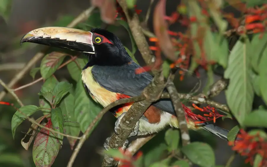
Nature
More places