Plizio Visual Lab
Mangla Dam
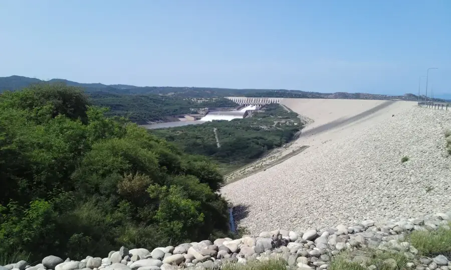
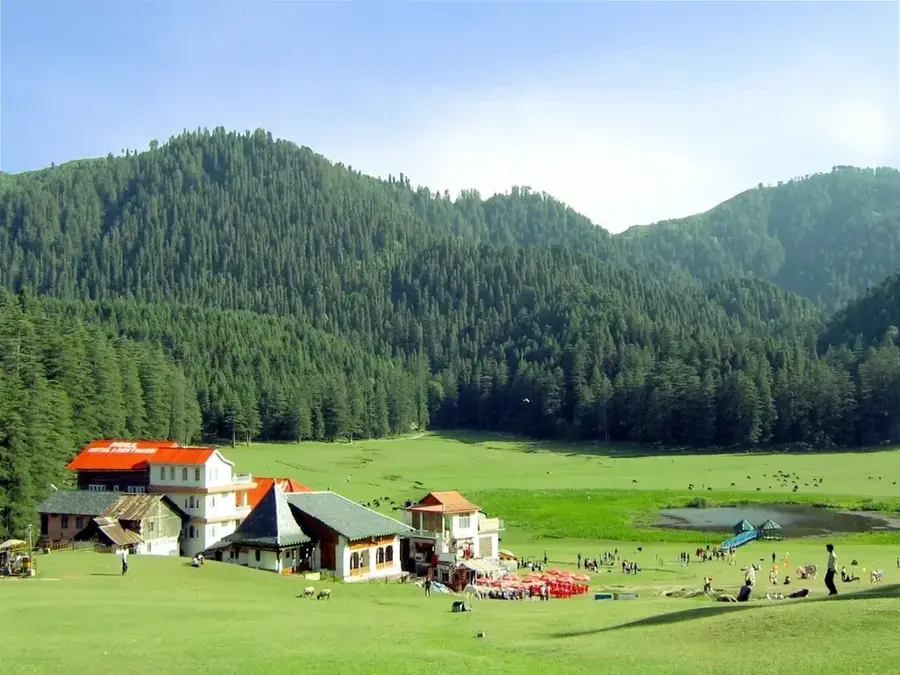
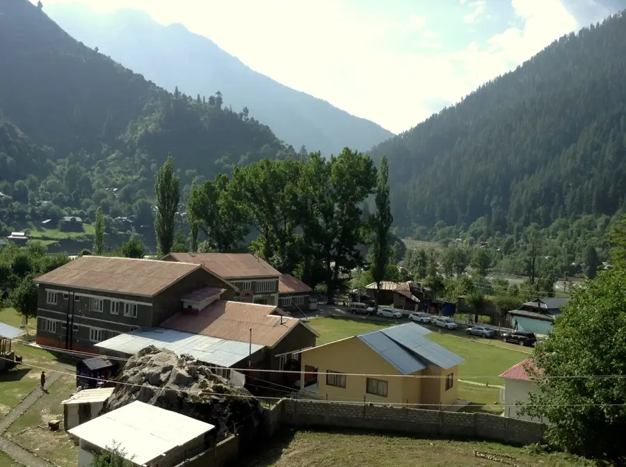
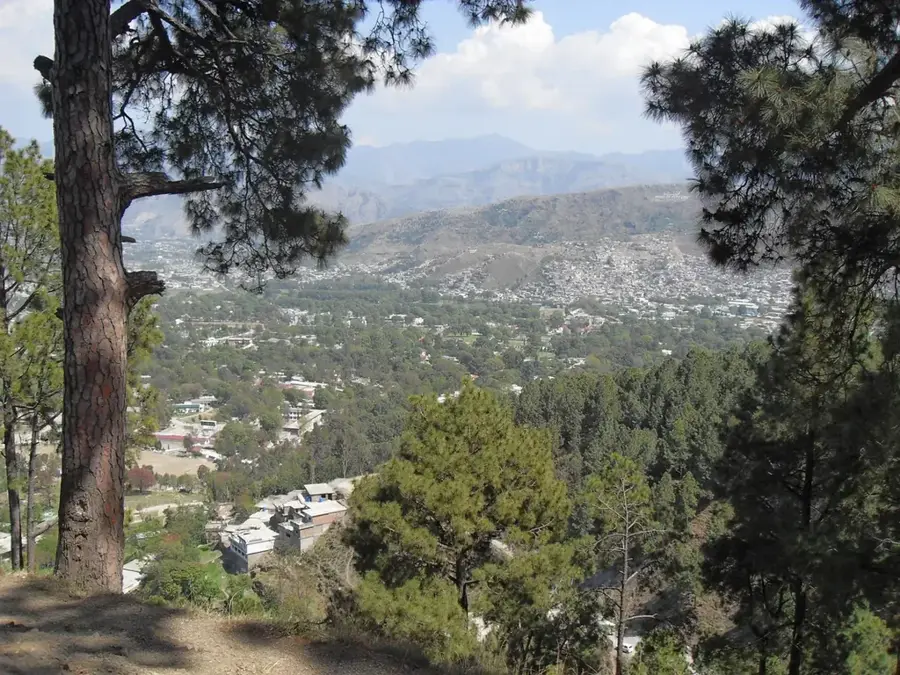
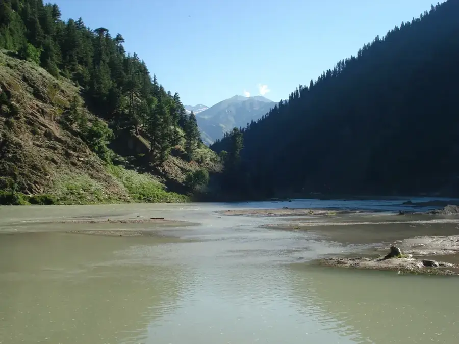
The Mangla Dam, constructed on the Jhelum River, is one of Pakistan's most significant engineering feats and a vital pillar for the nation's energy and agricultural sectors. Built between 1961 and 1967 under the Indus Waters Treaty, its primary functions are to provide irrigation for vast farmlands in Punjab and Sindh and to generate hydroelectric power. The dam's power station has an installed capacity of over 1,000 MW, contributing substantially to the national grid. The Mangla Reservoir is the second largest in Pakistan by surface area, and its storage capacity was notably increased through a major raising project completed in 2009. Beyond its economic utility, the dam is a major destination for domestic tourism, offering opportunities for boating and fishing in the scenic Azad Kashmir region. As a multipurpose project, Mangla is essential for Pakistan's water management strategy, ensuring a steady supply for the world’s largest contiguous irrigation system.
- Location: Pakistan
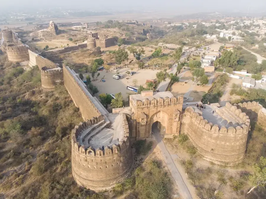
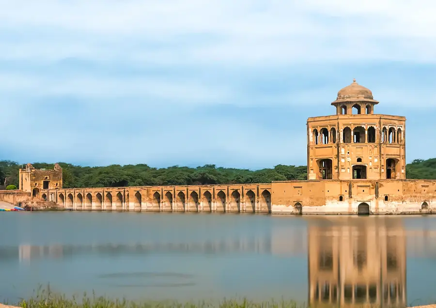
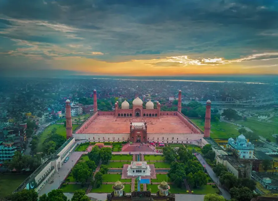
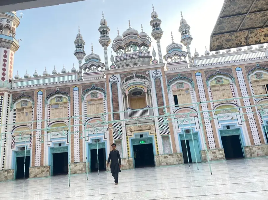
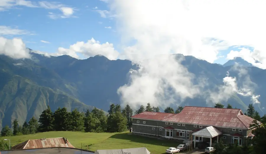
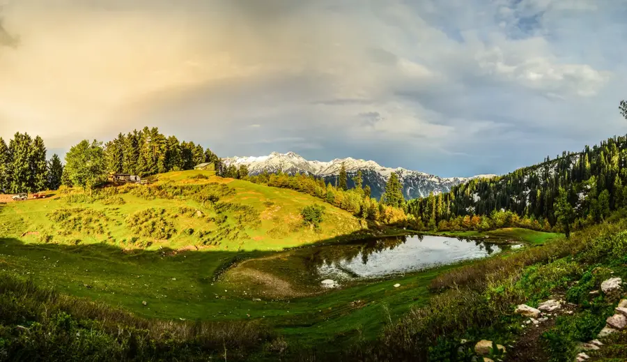
- Top sights: Ramkot Fort · Mangla View Point · Gulzar e Habib Jamia Mosque
- Nearby: Jhelum (city) (12 km)
Best time to visit & climate
The most pleasant time to visit is Mar, Oct, Nov.
| Jan | Feb | Mar | Apr | May | Jun | Jul | Aug | Sep | Oct | Nov | Dec | |
|---|---|---|---|---|---|---|---|---|---|---|---|---|
| Avg °C | 13 | 15 | 21 | 26 | 32 | 35 | 33 | 31 | 29 | 25 | 19 | 15 |
| Rain mm | 37 | 64 | 69 | 47 | 39 | 86 | 223 | 187 | 76 | 19 | 14 | 21 |
📋 Practical info
Geography
Facts
- The project was completed in 1967 at a cost of approximately $1.5 billion.
- The dam is named after the village of Mangla, located at the mouth of the reservoir.
- The main dam structure is 3,140 meters long and over 140 meters high.
- Mangla Hydel Power Station features 10 power generation units.
- The reservoir covers a surface area of approximately 250 square kilometers.
- The 2009 dam raising project increased storage capacity by 2.9 million acre-feet.
Explore nearby
Notable places around
Route planner — Car & Motorhome
Where do you start? We build the route here, with stops and country notes along the way.
© OpenStreetMap contributors · OpenRouteService
Sights in the town Mangla Dam (5)
Sights nearby
Frequently asked questions
Can you visit the Mangla Dam?
What is the function of the Mangla Dam?
Where is the dam located?
Are there recreation opportunities there?
Is it family-friendly?
Mangla Dam: where is it located?
Mangla Dam: what is there to see?
Mangla Dam: when is the best time to visit?
Mangla Dam: why is it worth visiting?

Nearby cities

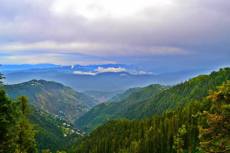
Nature

More places