Plizio Visual Lab
Pyongyang Peneplain
Weather…
Water temperature…
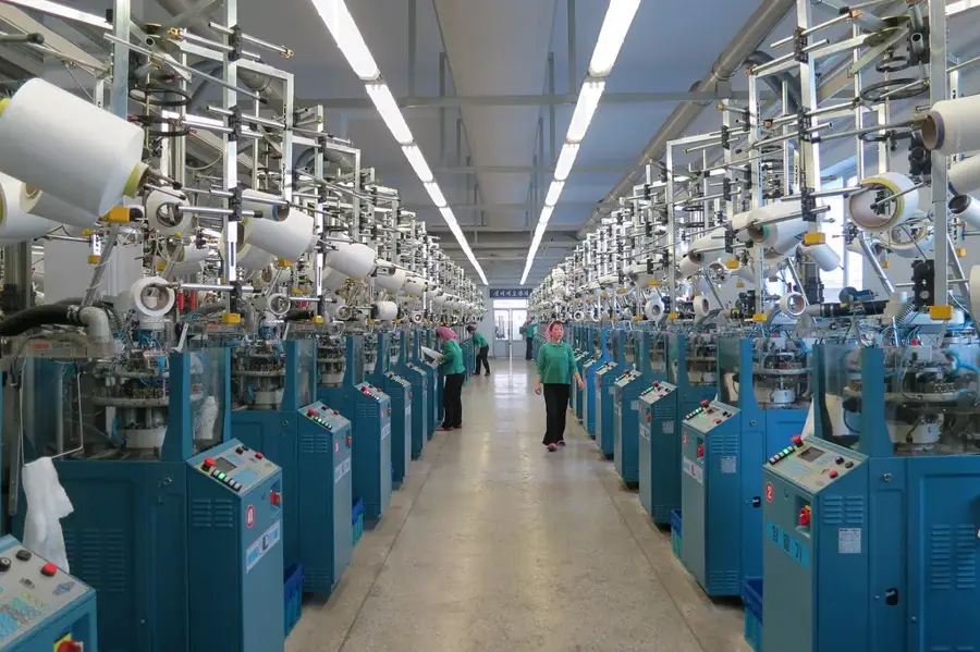
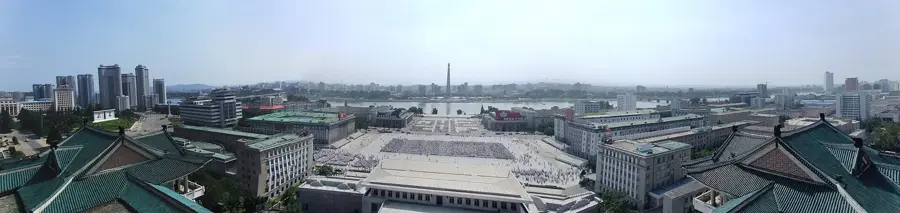
The Pyongyang Peneplain is an extensive erosion surface in western North Korea that forms the geographical foundation of the capital city and its surroundings. This geomorphological formation was created over millions of years through the continuous weathering and erosion of former mountain ranges, leaving behind a gently undulating plain with occasional isolated monadnocks. The average elevation of the plain sits between 20 and 50 meters above sea level, with soils predominantly composed of fertile loess and alluvial deposits. Geologically, the area is significant for its limestone deposits, which support the local cement industry and exhibit various karst features. The plain is bisected by the Taedong River, whose meandering path has deeply influenced the landscape's development. Historically, the peneplain has been inhabited since the Stone Age and served as the heartland of the ancient Go-Joseon kingdom and the Goguryeo dynasty. Today, it is the most densely populated and intensely utilized region in North Korea, where agriculture, heavy industry, and urban infrastructure converge.
- Location: North Korea
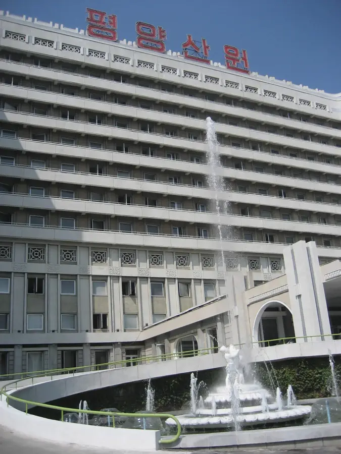
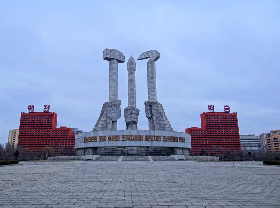
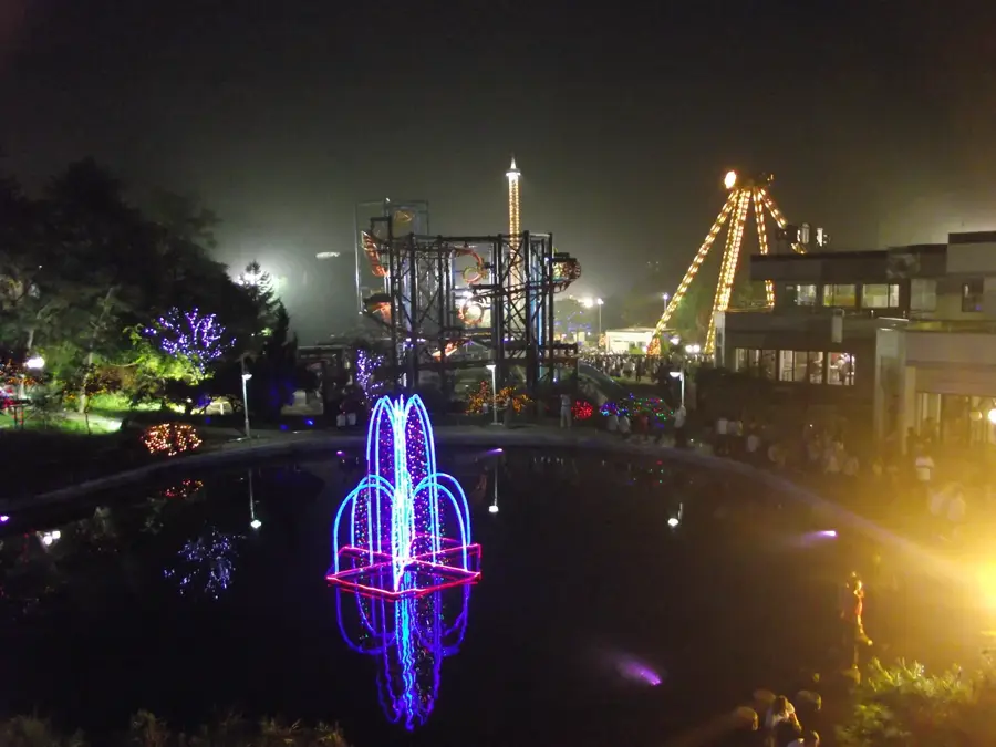
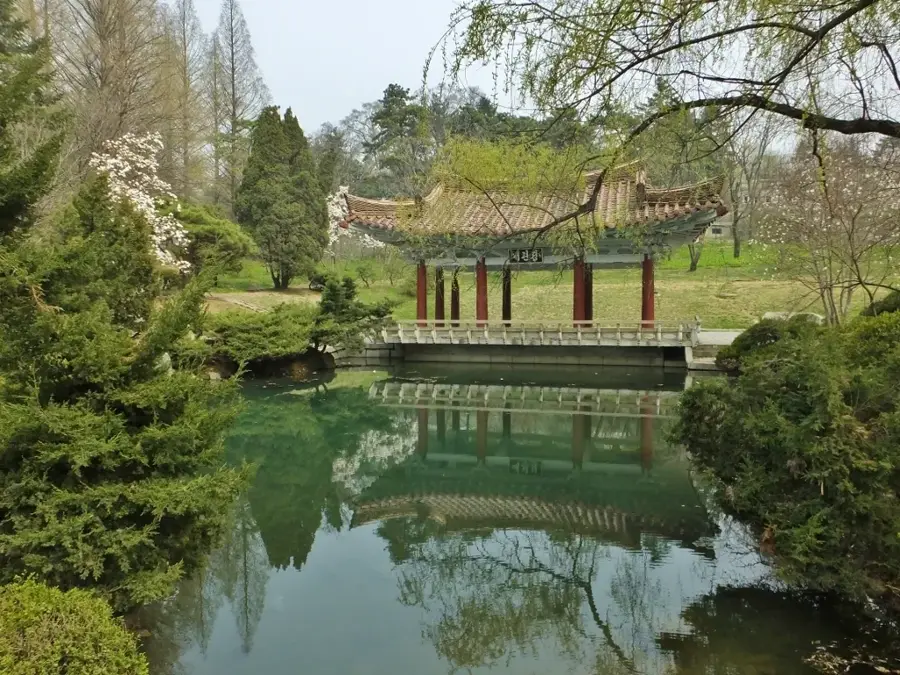
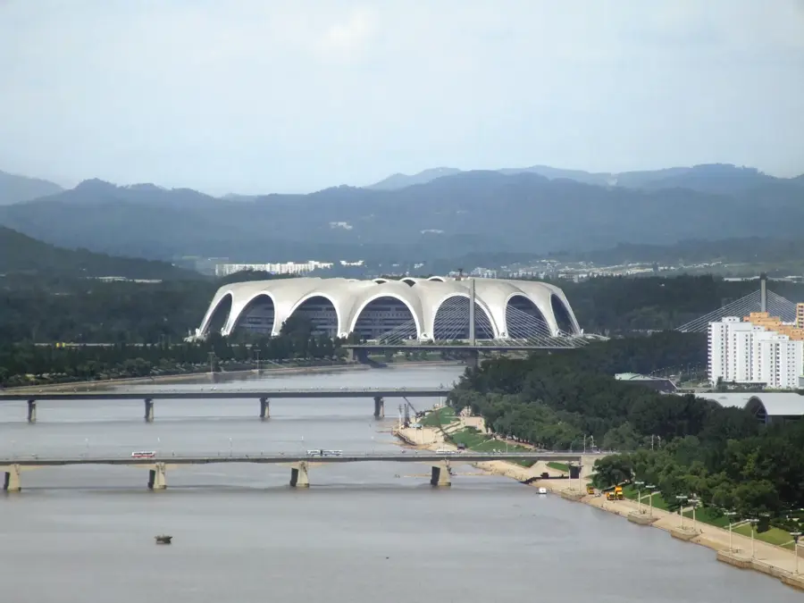
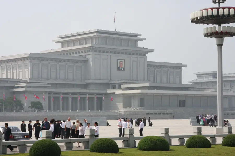
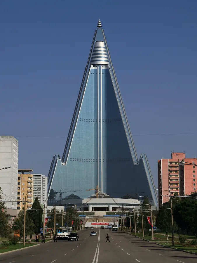
- Top sights: Munsu Peak · Munsu Peak Revolutionary Historic Site · Changchung Cathedral
- Nearby: Pyongsong (17 km)
Best time to visit & climate
The most pleasant time to visit is May, Jun, Sep.
| Jan | Feb | Mar | Apr | May | Jun | Jul | Aug | Sep | Oct | Nov | Dec | |
|---|---|---|---|---|---|---|---|---|---|---|---|---|
| Avg °C | -8 | -4 | 2 | 8 | 16 | 21 | 23 | 23 | 18 | 11 | 3 | -6 |
| Rain mm | 10 | 18 | 26 | 58 | 80 | 101 | 318 | 263 | 113 | 49 | 51 | 19 |
📋 Practical info
Geography
Facts
- The peneplain covers a total area of approximately 1,500 square kilometers.
- Its formation dates back to the late Mesozoic era.
- The average elevation is just 40 meters above sea level.
- The underlying bedrock includes limestone over 400 million years old.
- It contains the country's most vital wheat and maize production zones.
- The plain's tectonic stability has facilitated the construction of large-scale urban infrastructure.
Explore nearby
Notable places around
Route planner — Car & Motorhome
Where do you start? We build the route here, with stops and country notes along the way.
© OpenStreetMap contributors · OpenRouteService
Sights in the town Pyongyang Peneplain (3)
Sights nearby
Frequently asked questions
What is the Pyongyang Peneplain?
How is the land used there?
Are there natural attractions there?
What climate prevails there?
Can the plain be explored by tourists?
Pyongyang Peneplain: where is it located?
Pyongyang Peneplain: what is there to see?
Pyongyang Peneplain: when is the best time to visit?
Pyongyang Peneplain: why is it worth visiting?

Nearby cities
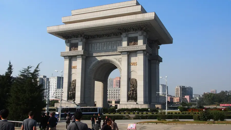
History & landmarks
Nature
More places