Plizio Visual Lab
Mambilla Plateau
Weather…
Water temperature…
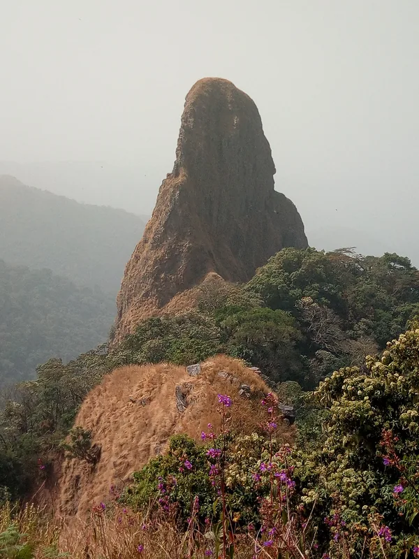
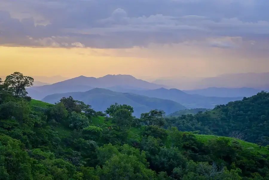
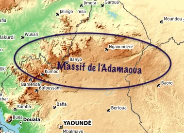
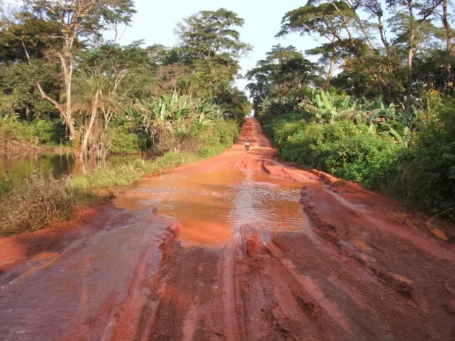
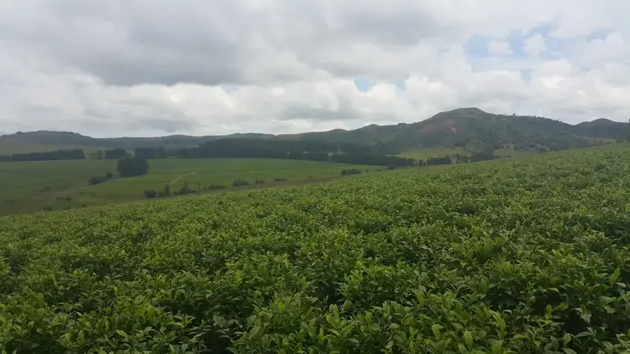
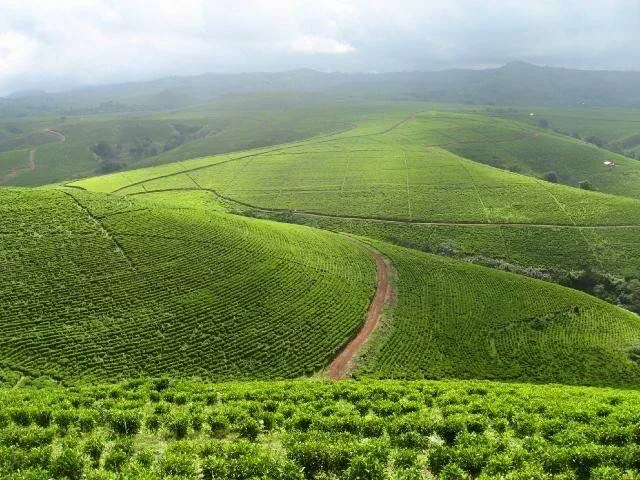
The Mambilla Plateau is located in the Taraba State of Nigeria and represents the northern continuation of the Bamenda Highlands of Cameroon. With an average elevation of about 1,600 meters above sea level, it constitutes the highest plateau in the country and is home to Nigeria's highest point, Chappal Waddi, which reaches 2,419 meters. Geologically, the plateau is composed of basement complex rocks, primarily granites and gneisses, often covered by fertile volcanic soils. This fertility supports extensive cattle ranching, particularly exotic breeds, and large-scale tea plantations, making it a vital agricultural hub. The plateau also serves as an important watershed, feeding numerous tributaries of the Benue River. Its unique temperate climate, resulting from the high altitude, distinguishes it from the tropical heat of the surrounding lowlands. In recent years, the area has gained recognition for the planned Mambilla Hydroelectric Power Project, which is set to become one of the largest infrastructure investments in Africa.
- Location: Nigeria
- Nearby: Gembu (34 km)
Best time to visit & climate
The most pleasant time to visit is Jan, Nov, Dec.
| Jan | Feb | Mar | Apr | May | Jun | Jul | Aug | Sep | Oct | Nov | Dec | |
|---|---|---|---|---|---|---|---|---|---|---|---|---|
| Avg °C | 22 | 24 | 25 | 24 | 23 | 22 | 21 | 21 | 21 | 22 | 21 | 21 |
| Rain mm | 2 | 6 | 41 | 144 | 178 | 199 | 257 | 292 | 277 | 185 | 29 | 2 |
📋 Practical info
Geography
Facts
- The plateau contains Chappal Waddi, Nigeria's highest mountain at 2,419 meters.
- The average elevation of the plateau is approximately 1,600 meters above sea level.
- It is the only region in Nigeria that experiences a temperate highland climate.
- Mambilla is the primary location for high-altitude tea cultivation in Nigeria.
- The soil is enriched by ancient volcanic deposits, supporting lush grasslands.
- The Mambilla Hydroelectric Project is designed to generate 3,050 megawatts of power.
Explore nearby
Notable places around
Route planner — Car & Motorhome
Where do you start? We build the route here, with stops and country notes along the way.
© OpenStreetMap contributors · OpenRouteService
Sights nearby
Frequently asked questions
What is Mambilla Plateau?
Can one hike there?
What clothing is needed?
Are there restaurants there?
Best time to travel?
Mambilla Plateau: where is it located?
Mambilla Plateau: when is the best time to visit?
Mambilla Plateau: why is it worth visiting?

Nearby cities
More places