Plizio Visual Lab
Gashaka Hills

Weather…
Water temperature…
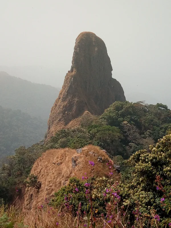
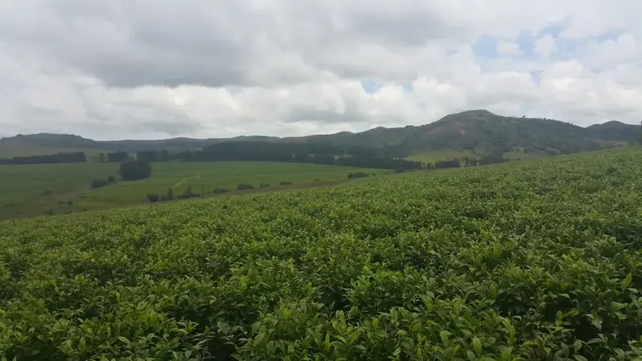
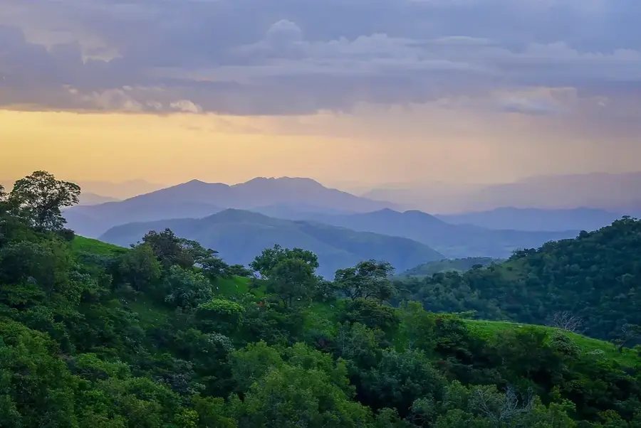
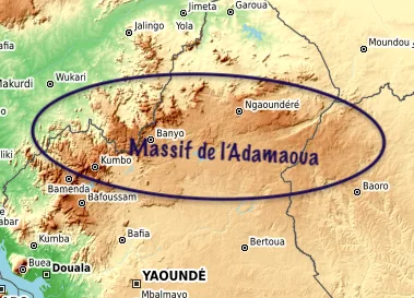
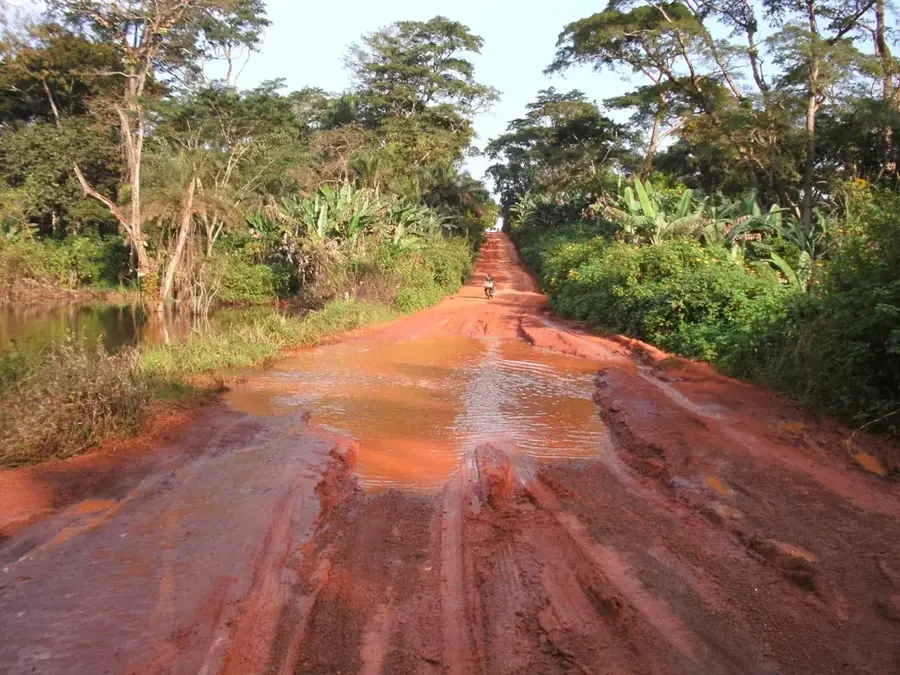
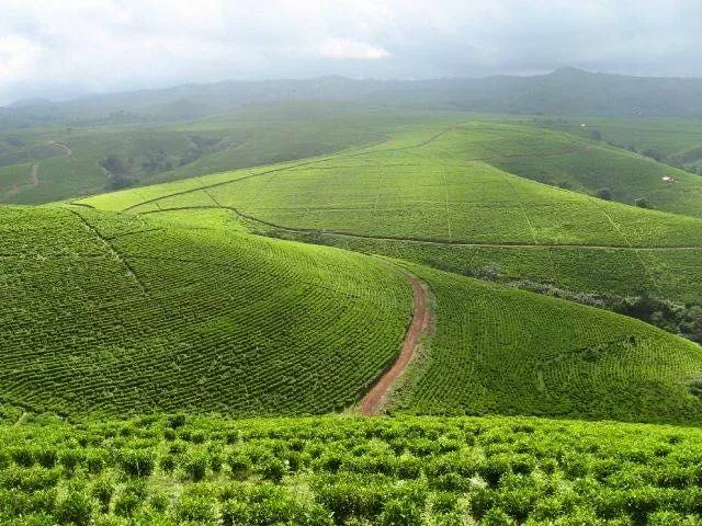
The Gashaka Hills are located in eastern Nigeria, near the border with Cameroon, and form the core of the Gashaka-Gumti National Park, the country's largest protected area. This mountainous region is characterized by an extremely rugged relief, featuring deep valleys and steep slopes that create a diverse landscape. Elevations range significantly from 300 meters in the valleys to over 2,000 meters at the highest peaks, leading to a vast array of ecosystems from tropical rainforests to montane grasslands. Geologically, the hills are part of the West African basement complex, consisting primarily of Precambrian metamorphic rocks. The area is of strategic importance for water conservation, as it contains the headwaters of numerous streams that feed the Taraba River. Due to their relative inaccessibility and difficult terrain, the hills remain largely uninhabited and undisturbed, serving as a critical refuge for rare wildlife, such as the Nigeria-Cameroon chimpanzee.
- Location: Nigeria
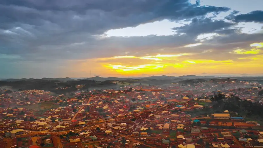
- Nearby: Gembu (75 km)
Best time to visit & climate
The most pleasant time to visit is Jan, Nov, Dec.
| Jan | Feb | Mar | Apr | May | Jun | Jul | Aug | Sep | Oct | Nov | Dec | |
|---|---|---|---|---|---|---|---|---|---|---|---|---|
| Avg °C | 26 | 28 | 29 | 28 | 26 | 25 | 24 | 23 | 24 | 25 | 25 | 25 |
| Rain mm | 1 | 5 | 32 | 128 | 191 | 215 | 282 | 301 | 286 | 164 | 20 | 2 |
📋 Practical info
Geography
Facts
- The hills are the centerpiece of Gashaka-Gumti National Park, covering 6,402 km².
- Elevation within the hills varies from 300 meters to over 2,000 meters.
- The geological foundation consists of ancient Precambrian granites and gneisses.
- It serves as a vital watershed for the Taraba River and its many tributaries.
- The region is home to the largest population of Nigeria-Cameroon chimpanzees.
- The rugged terrain has historically limited human settlement and agriculture.
Explore nearby
Notable places around
Route planner — Car & Motorhome
Where do you start? We build the route here, with stops and country notes along the way.
© OpenStreetMap contributors · OpenRouteService
Sights nearby
Frequently asked questions
What is special about the Gashaka mountains?
Is the hike hard?
Is a guide needed?
Can one camp there?
How is the weather?
Gashaka Hills: where is it located?
Gashaka Hills: when is the best time to visit?
Gashaka Hills: why is it worth visiting?

Nearby cities
More places