Plizio Visual Lab
Alantika Mountains

Weather…
Water temperature…
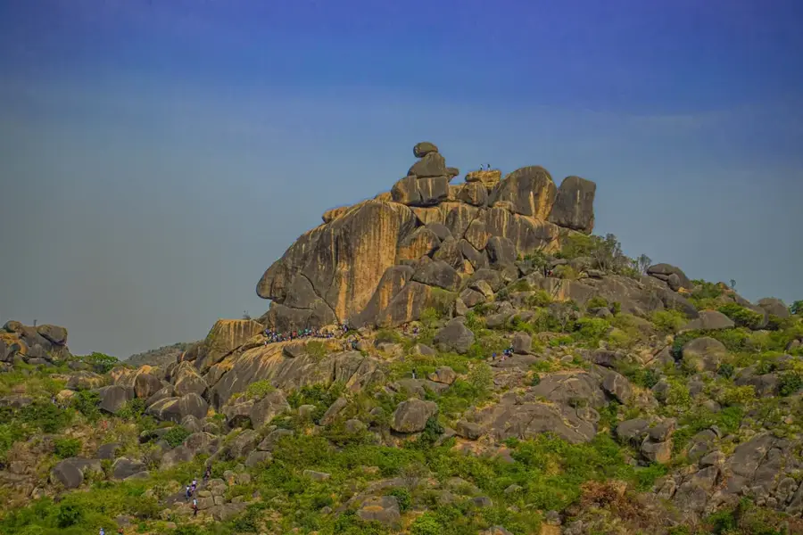
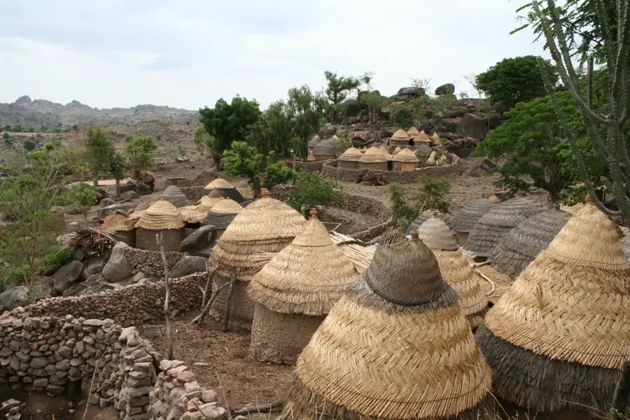
The Alantika Mountains stretch along the border between Nigeria and Cameroon in Adamawa State, forming a formidable natural barrier. The terrain is characterized by rugged peaks reaching up to 1,885 meters above sea level, consisting mainly of metamorphic and granitic rocks. As part of the Adamawa Highlands, the range is one of the most remote and inaccessible regions in West Africa. This isolation historically allowed the Koma people to maintain their traditional lifestyle and customs largely undisturbed until the late 20th century. The complex relief features steep slopes and deep valleys that support a variety of indigenous flora and fauna. Historically, the mountains served as a strategic hideout and today they remain a significant geographical landmark defining the international boundary and influencing local rainfall patterns.
- Location: Nigeria
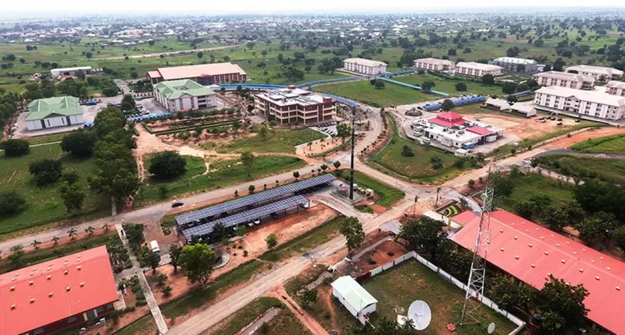
- Nearby: Jimeta (42 km)
Best time to visit & climate
The most pleasant time to visit is Jan, Nov, Dec.
| Jan | Feb | Mar | Apr | May | Jun | Jul | Aug | Sep | Oct | Nov | Dec | |
|---|---|---|---|---|---|---|---|---|---|---|---|---|
| Avg °C | 26 | 29 | 31 | 31 | 29 | 28 | 26 | 25 | 26 | 27 | 27 | 26 |
| Rain mm | 0 | 1 | 3 | 54 | 106 | 129 | 160 | 197 | 164 | 79 | 7 | 1 |
📋 Practical info
Geography
Facts
- The highest peak in the Alantika range reaches approximately 1,885 meters.
- The Koma people inhabit the mountains and were 'discovered' by the world in 1986.
- The name 'Alantika' translates to 'Allah has not yet arrived' in the Kanuri language.
- The mountains are primarily composed of ancient metamorphic and granitic rocks.
- They form a significant part of the international border with Cameroon.
- The area is a key biodiversity hotspot with many endemic plant species.
Explore nearby
Notable places around
Route planner — Car & Motorhome
Where do you start? We build the route here, with stops and country notes along the way.
© OpenStreetMap contributors · OpenRouteService
Sights nearby
Frequently asked questions
Why are the Alantika Mountains special?
Is access to the mountains restricted?
Should you visit the mountains?
Are there paved hiking trails there?
Which season is the safest?
Alantika Mountains: where is it located?
Alantika Mountains: when is the best time to visit?
Alantika Mountains: why is it worth visiting?

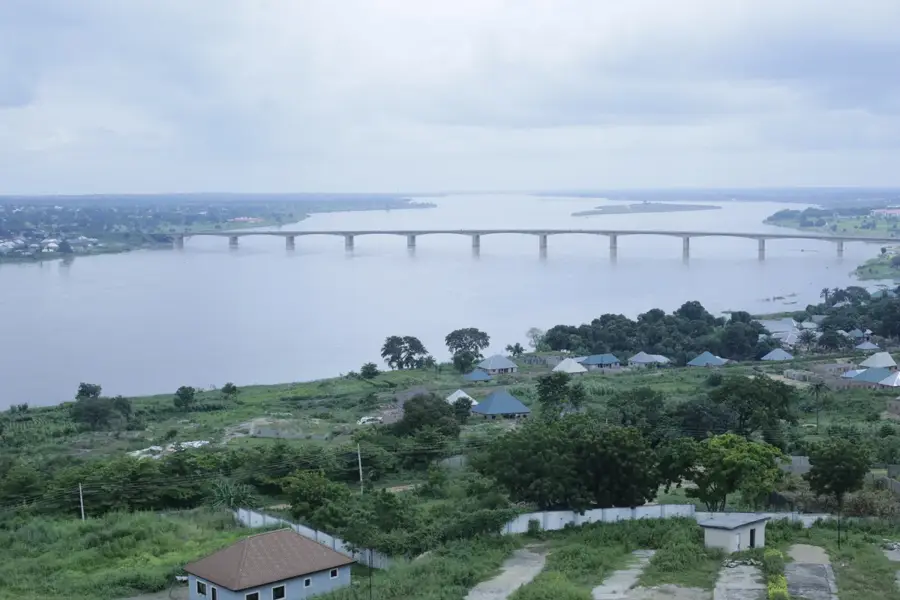
Nearby cities

Nature
More places