Plizio Visual Lab
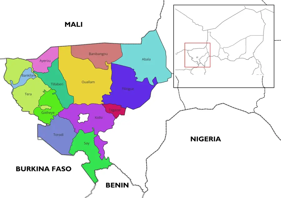
Banibangou
ℹ️Practical info — Banibangou
▾
🌤 Weather — 5 days
📍 Nearby
Sights nearby
💡 Tips
- Travel with a reliable local guide due to the remote border location.
- Bring plenty of drinking water and sun protection.
- Respect local photography customs; always ask before taking pictures of people.
- Carry enough cash in CFA francs, as ATMs are practically non-existent.
🍽 Food
Try it freshly brewed at local roadside stalls.
A traditional staple food found in small local eateries.
🛍 Shopping · 🧘 Quiet spots
Simple, handmade items available at local markets.
Traditionally woven fabrics from the region.
Has sweeping views over the arid desert landscape.
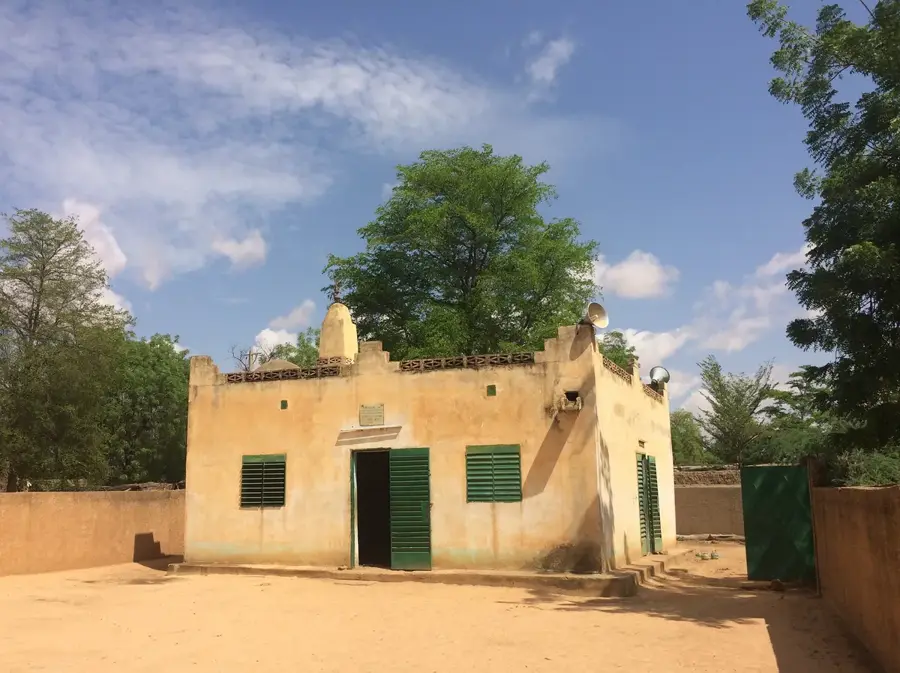
A peaceful spot to pause outside of prayer times.
Water temperature…
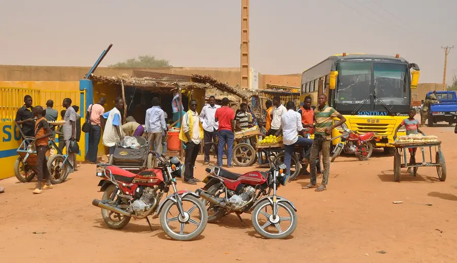
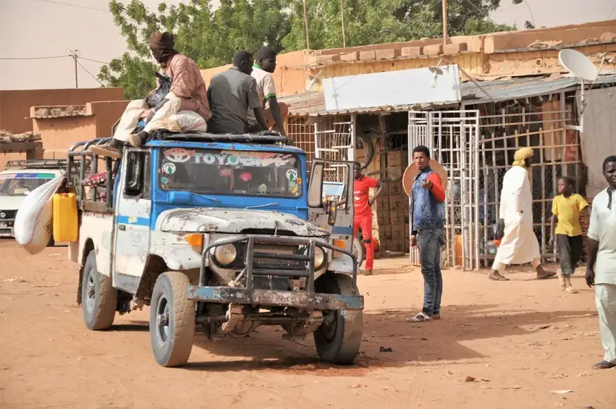
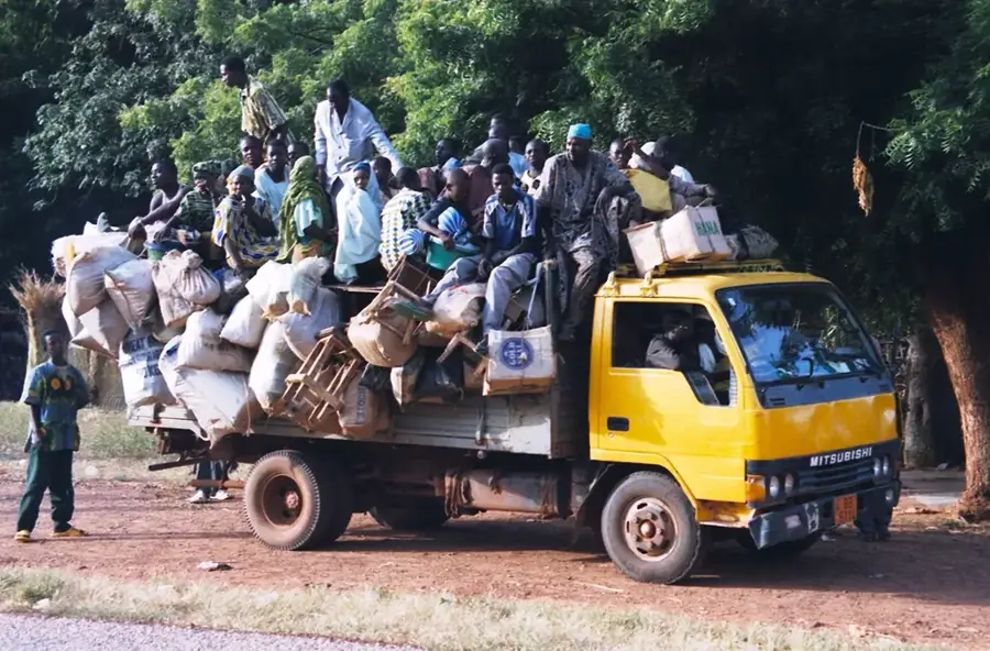
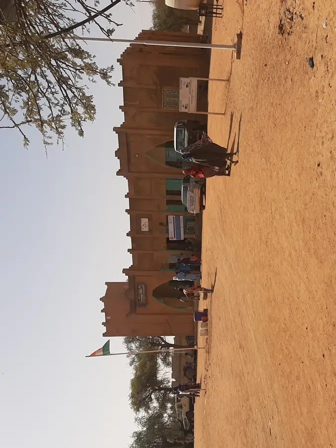
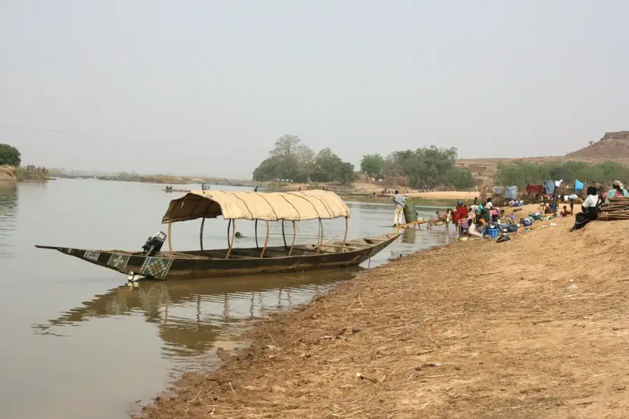
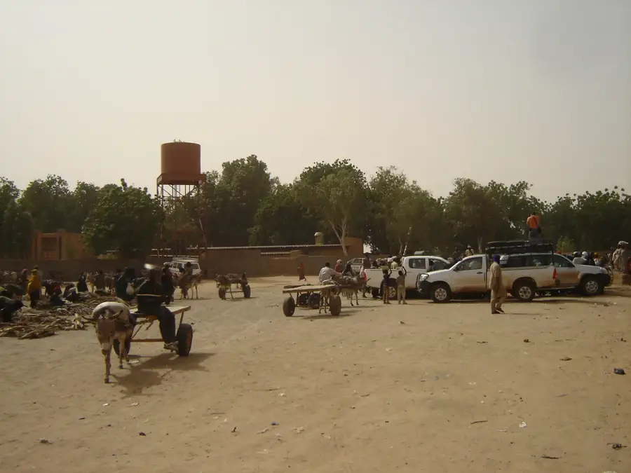
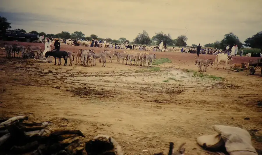
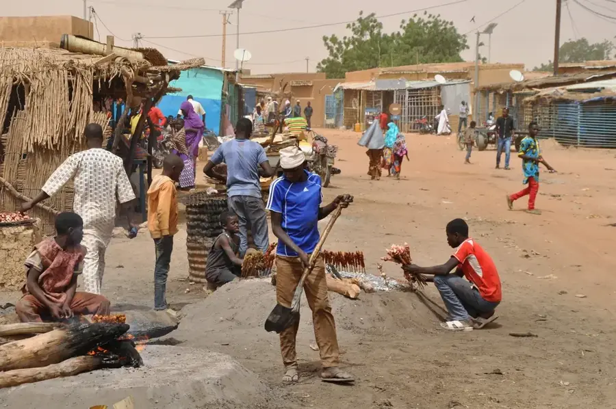
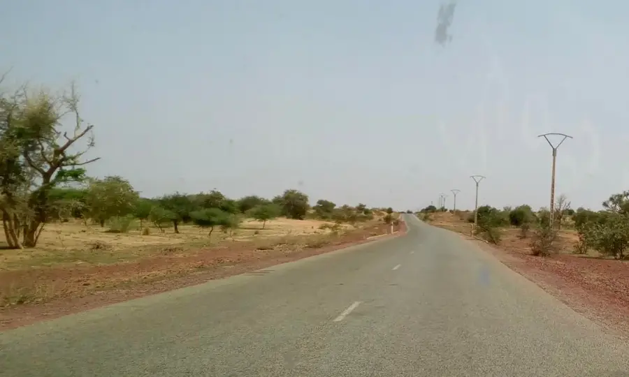
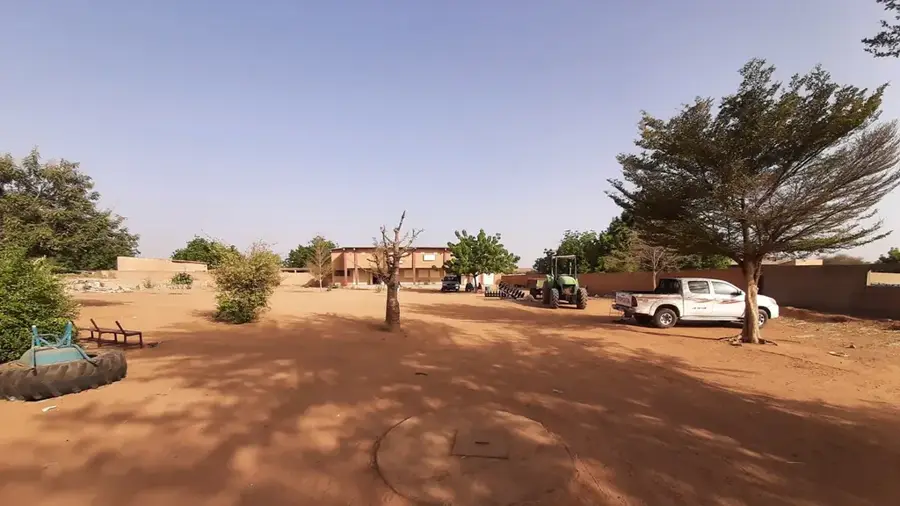
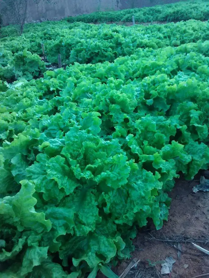
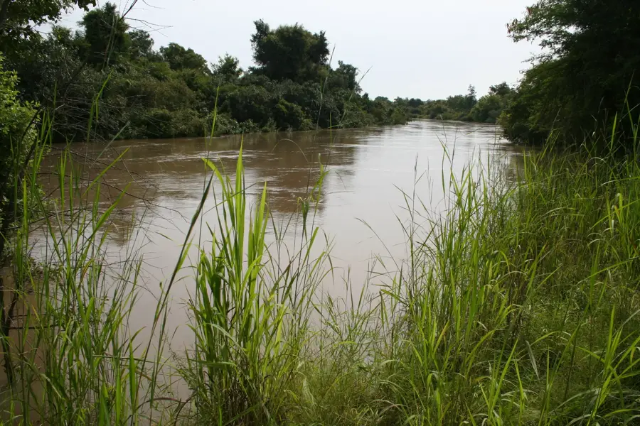
Banibangou is a rural commune and the seat of the Banibangou Department in the Tillabéri Region of southwestern Niger. Situated very close to the border with Mali, it serves as a significant commercial crossroads within the Sahelian belt. The geography is characterized by semi-desert landscapes and seasonal watercourses that support limited agricultural activities. Historically, Banibangou has been a meeting ground for various ethnic groups, including the Zarma, Tuareg, and Songhai, leading to a rich cultural mosaic. Its strategic location on trade routes connecting the Niger River valley with northern desert territories grants the town a vital economic role. In recent years, the region has faced substantial security challenges due to its proximity to volatile border areas, complicating local governance. Despite these pressures, Banibangou remains a central marketplace for the exchange of livestock and essential agricultural goods for the surrounding population.
- Location: Niger
- Population: ~9.187 (2024)
Best time to visit & climate
The most pleasant time to visit is Jan, Feb, Dec.
| Jan | Feb | Mar | Apr | May | Jun | Jul | Aug | Sep | Oct | Nov | Dec | |
|---|---|---|---|---|---|---|---|---|---|---|---|---|
| Avg °C | 21 | 25 | 29 | 33 | 35 | 34 | 31 | 29 | 29 | 30 | 26 | 23 |
| Rain mm | 0 | 0 | 1 | 3 | 9 | 50 | 104 | 147 | 57 | 9 | 0 | 0 |
Geography
Facts
- Banibangou was established as the capital of its own department in 2011.
- The town is located approximately 250 kilometers northeast of Niamey, the national capital.
- The surrounding area focuses on millet and sorghum production despite harsh conditions.
- Banibangou's weekly market is one of the most prominent in the northern Tillabéri region.
- The town lies on a major transit route connecting Niger's river valley with Malian markets.
- The population is a mix of sedentary farmers and various nomadic pastoralist groups.
Explore nearby
Notable places around
Route planner — Car & Motorhome
Where do you start? We build the route here, with stops and country notes along the way.
© OpenStreetMap contributors · OpenRouteService
Frequently asked questions
Is Banibangou safe for tourists?
Are there accommodation options in Banibangou?
What is the best season to visit?
Can one visit local markets in Banibangou?
Do I need a 4x4 vehicle for Banibangou?
Banibangou: where is it located?
Banibangou: when is the best time to visit?
Banibangou: why is it worth visiting?

Nearby cities

History & landmarks
More places