Plizio Visual Lab
Kachin Hills
Weather…
Water temperature…
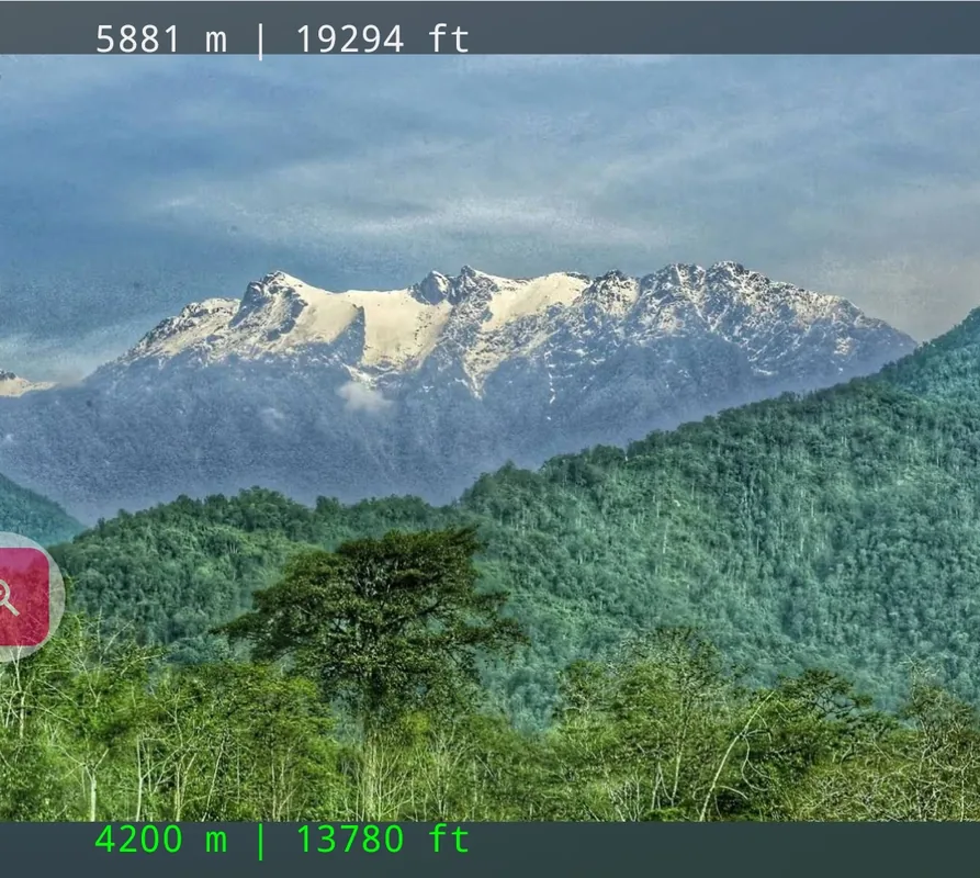
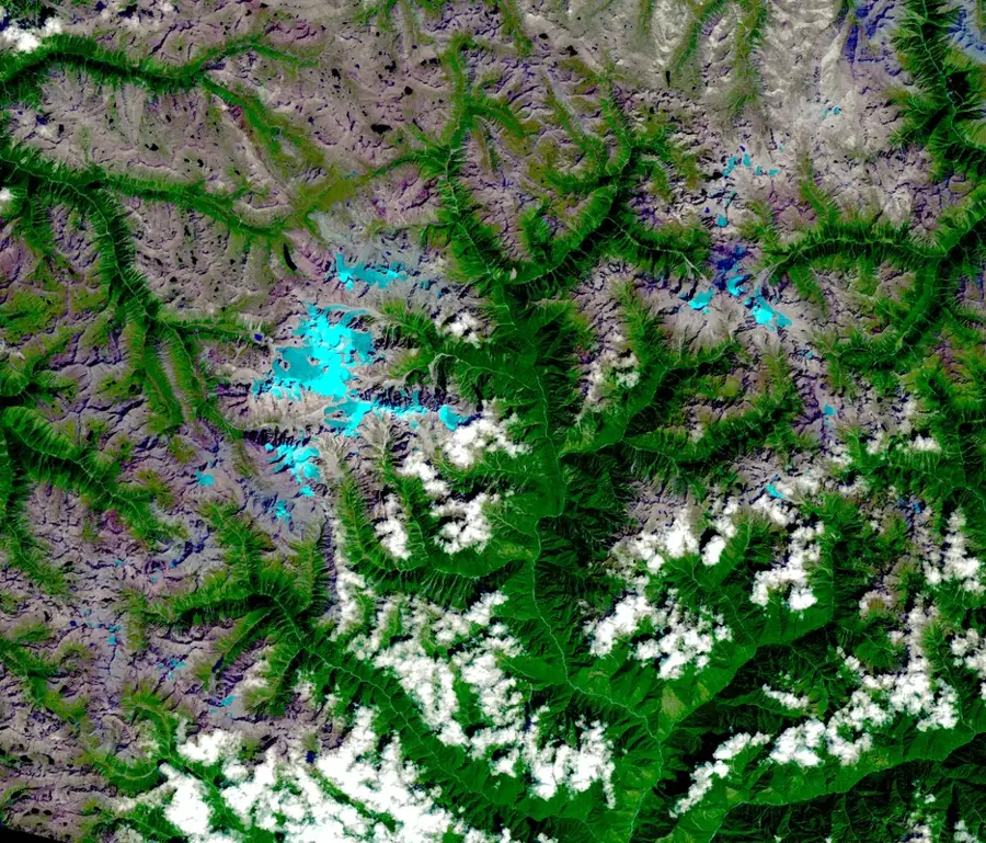
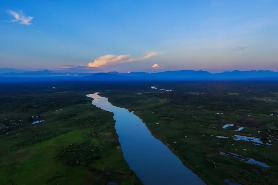
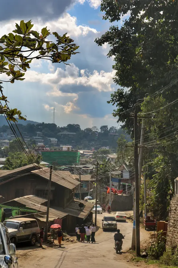
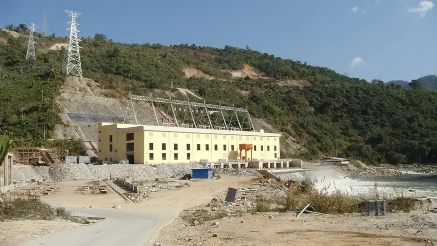
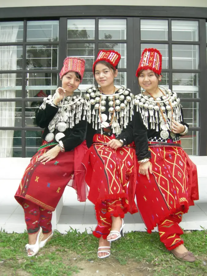
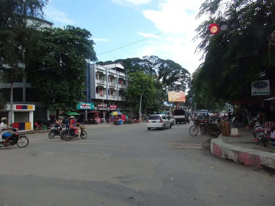
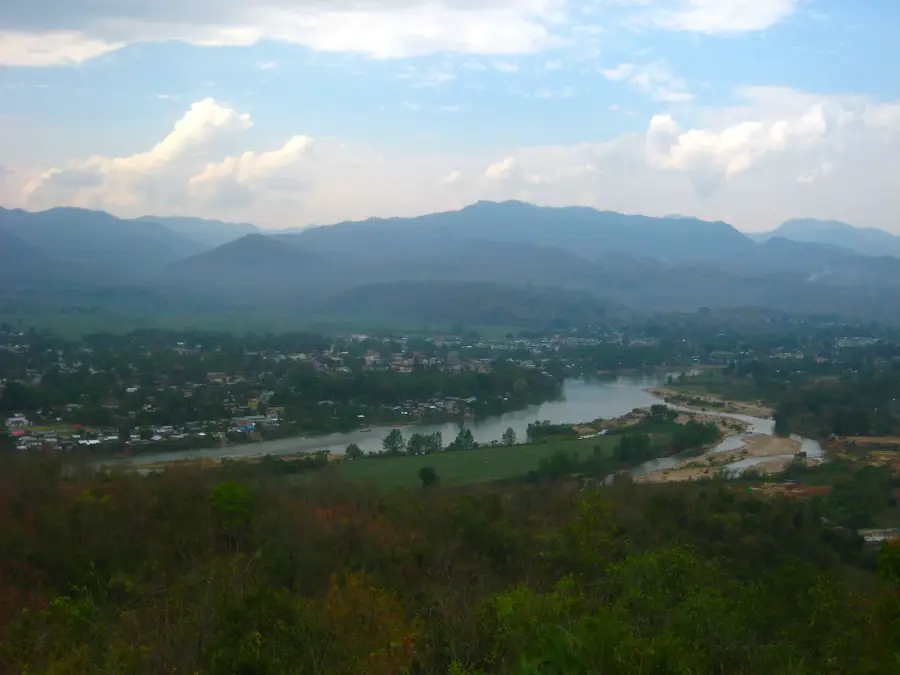
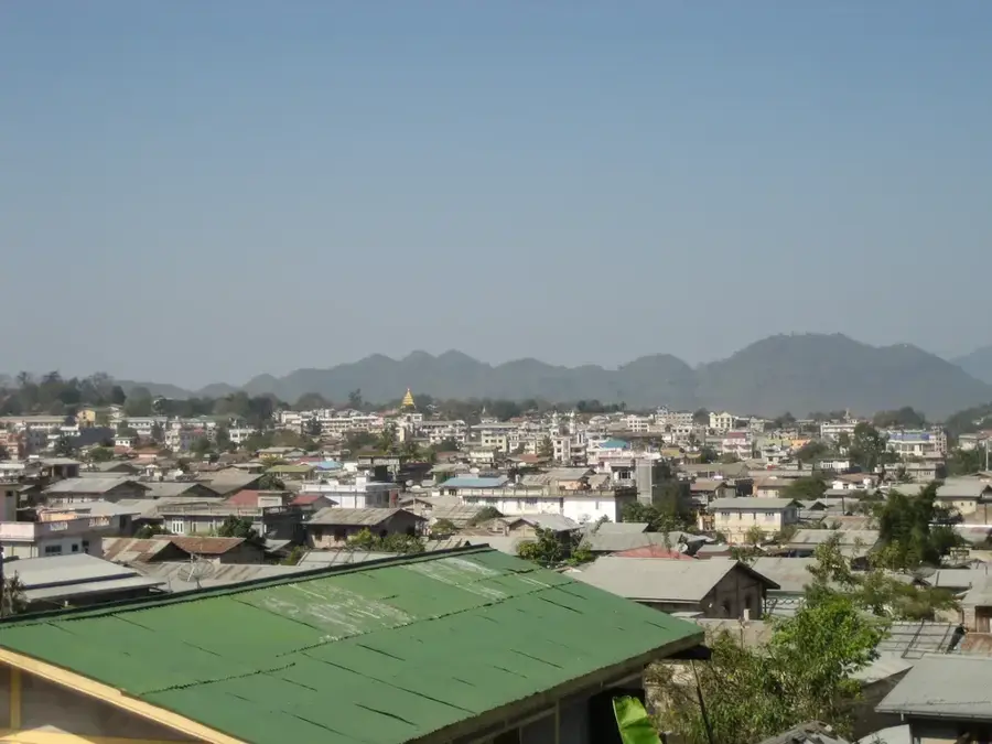
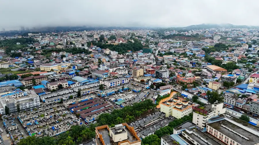
The Kachin Hills are located in the extreme north of Myanmar, within Kachin State, bordering China and India. This rugged highland area is part of the southeastern extensions of the Himalayas and hosts Myanmar's highest mountains, including Hkakabo Razi, which stands at 5,881 meters. The region is characterized by deep river valleys and dense temperate and subtropical forests, providing a sanctuary for many rare animal species such as the red panda. The Kachin Hills are the homeland of the ethnic Kachin peoples, who are known for their rich cultural traditions and independence. Economically, the area is of great significance as it contains major jade deposits and gold mines that have been exploited for centuries. The mountains are also the source of important rivers like the Irrawaddy, which originates from the confluence of the Mali Hka and N'Mai Hka rivers. Due to the political situation and the ruggedness of the terrain, much of the region remains difficult to access for international tourism.
- Location: Myanmar (Burma)
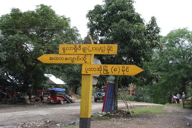
- Nearby: Putao (28 km)
Best time to visit & climate
The most pleasant time to visit is Feb, Nov, Dec.
| Jan | Feb | Mar | Apr | May | Jun | Jul | Aug | Sep | Oct | Nov | Dec | |
|---|---|---|---|---|---|---|---|---|---|---|---|---|
| Avg °C | 17 | 20 | 24 | 27 | 28 | 28 | 27 | 27 | 27 | 25 | 21 | 18 |
| Rain mm | 16 | 9 | 19 | 42 | 71 | 148 | 164 | 140 | 92 | 64 | 10 | 8 |
📋 Practical info
Geography
Facts
- The Kachin Hills host Hkakabo Razi, the highest mountain in Southeast Asia (5,881 m).
- The region produces over 90% of the world's high-quality jade.
- The confluence of the Mali Hka and N'Mai Hka rivers forms the Irrawaddy River.
- There are over 1,000 recorded butterfly species in these mountains.
- The hills contain the Hukaung Valley Wildlife Sanctuary, the world's largest tiger reserve.
- Annual rainfall in the region can reach up to 5,000 mm, among the highest in the world.
Explore nearby
Notable places around
Route planner — Car & Motorhome
Where do you start? We build the route here, with stops and country notes along the way.
© OpenStreetMap contributors · OpenRouteService
Sights in the town Kachin Hills (1)
Sights nearby
Frequently asked questions
How do you reach the Kachin Hills?
Is the region safe?
What is special about this nature?
Are there parking facilities there?
What is the climate like?
Kachin Hills: where is it located?
Kachin Hills: when is the best time to visit?
Kachin Hills: why is it worth visiting?

Nearby cities
Nature
More places