Plizio Visual Lab
Hkakabo Razi
Weather…
Water temperature…
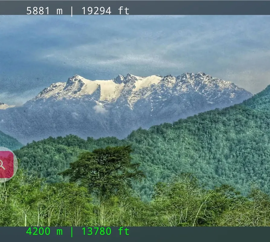
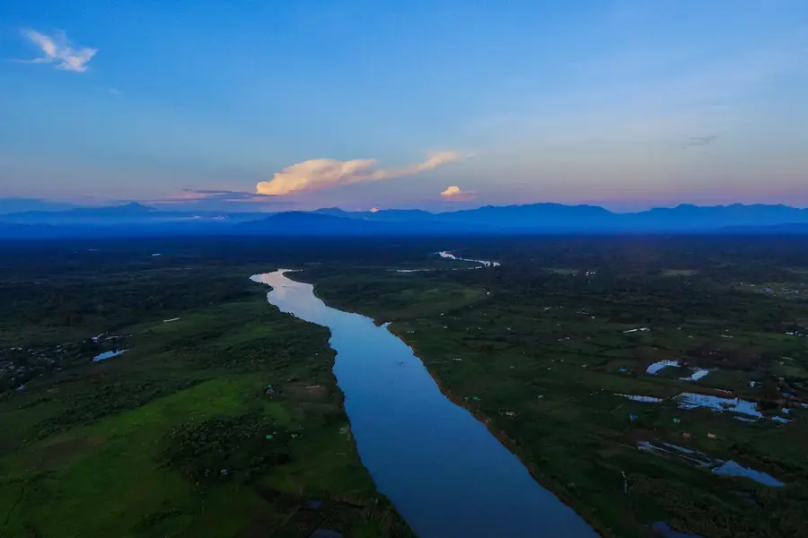
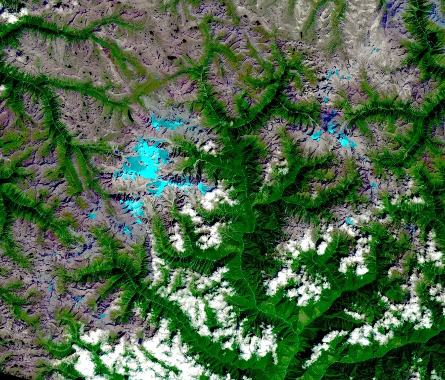
Hkakabo Razi, standing at 5,881 meters, is the highest mountain in Myanmar and the highest peak in Southeast Asia. Located in the far north of Kachin State on the border between Myanmar and Tibet, it is part of the Eastern Himalayan range. Due to its extreme remoteness and harsh climatic conditions, the mountain is regarded as one of the most difficult peaks to access in the world. The region features pristine subtropical rainforests, alpine meadows, and permanent glaciers that harbor extraordinary biodiversity. The first official ascent of the main summit was achieved only in 1996 by Takashi Ozaki of Japan and Nyima Gyaltsen of Nepal. The mountain is the centerpiece of the eponymous national park, established to protect rare flora and fauna, such as the red panda and various orchid species. Reaching the summit requires a multi-week expedition through dense jungle terrain before the actual rock and ice faces are reached.
Explore on the map
How well do you know Myanmar (Burma)?
Find cities, landscapes and regions in 10 varied challenges on the interactive map.
Your journey, your memory
A postcard from Hkakabo Razi
Turn your own photo into a personal postcard with a local stamp. Free and no sign-up required.
Create a postcardBest time to visit & climate
The most pleasant time to visit is Jun, Aug, Sep.
| Jan | Feb | Mar | Apr | May | Jun | Jul | Aug | Sep | Oct | Nov | Dec | |
|---|---|---|---|---|---|---|---|---|---|---|---|---|
| Avg °C | -5 | -4 | -1 | 2 | 6 | 10 | 11 | 11 | 9 | 4 | 0 | -4 |
| Rain mm | 8 | 26 | 62 | 84 | 78 | 99 | 147 | 109 | 77 | 57 | 11 | 5 |
📋 Practical info
Geography
Facts
- The official height of the mountain is 5,881 meters above sea level.
- The first successful ascent took place on September 15, 1996.
- The mountain is predominantly composed of metamorphic gneiss and granite.
- Reaching the base camp requires a trek of over 200 kilometers.
- It is located within the boundaries of the Khakaborazi National Park.
- It is the only peak in Southeast Asia with permanent glaciers.
Route planner — Car & Motorhome
Where do you start? We build the route here, with stops and country notes along the way.
© OpenStreetMap contributors · OpenRouteService
Sights nearby
Frequently asked questions
Can a tourist climb Hkakabo Razi?
What gear is needed for hiking in the region?
Is the area around Hkakabo Razi easily accessible?
When is the best time to visit?
Do I need a local guide?
Hkakabo Razi: where is it located?
Hkakabo Razi: when is the best time to visit?
Hkakabo Razi: why is it worth visiting?
Nearby cities
Nature
More places