Plizio Visual Lab
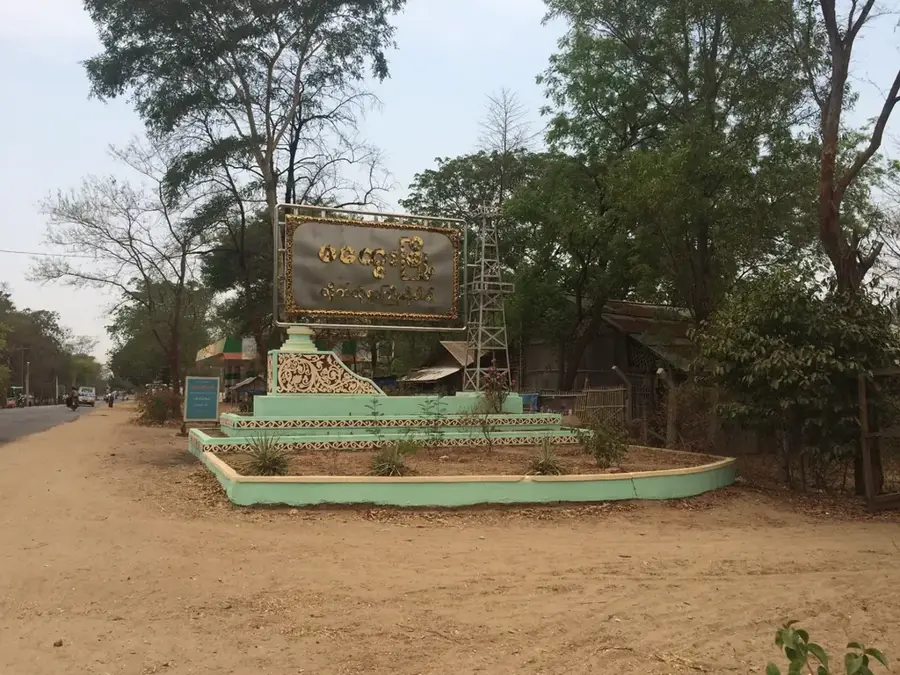
Myingyan
ℹ️Practical info — Myingyan
▾
🌤 Weather — 5 days
📍 Nearby
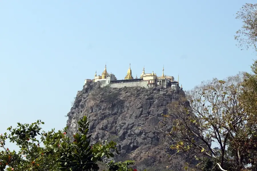
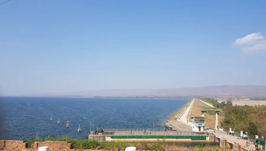
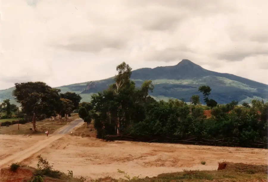
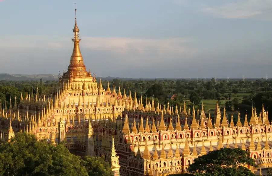
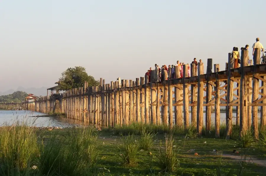
Sights nearby
💡 Tips
- Visit the Irrawaddy riverbank in the late afternoon to witness the local boat activity and fishing life.
- Use local tuk-tuks for transport as the city's industrial layout makes walking between points difficult.
- Prepare for high temperatures; Myingyan is in the dry zone, so carry plenty of water and sun protection.
- Explore the cotton weaving workshops on the outskirts to see the region's main industry in action.
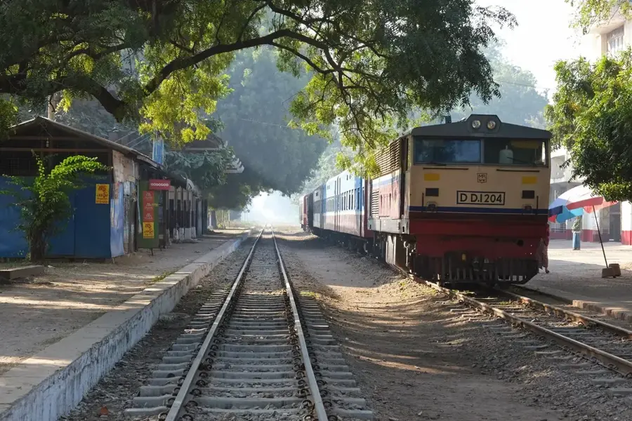
- Check train or bus schedules directly at the station early, as Myingyan is a key regional transport hub.
🍽 Food
Look for stalls near the main market preparing these crispy snacks fresh on-site.
Try this regional version of the fish soup at street stalls near the bus terminal.
Produced in nearby villages, these are best bought from vendors in the central market.
🛍 Shopping · 🧘 Quiet spots
Buy hand-woven cotton fabrics directly from the central market or small local workshops.
The best place to find local agricultural products and regional everyday items.
A peaceful spot for a walk at sunset, away from the industrial noise of the city.
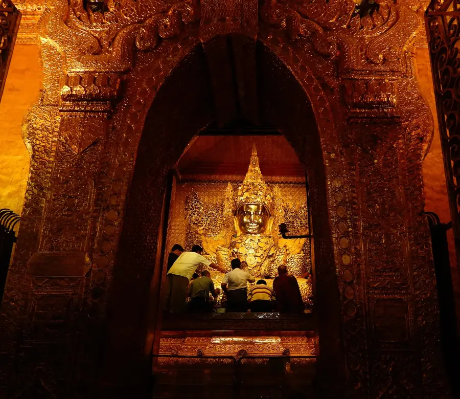
Smaller temple compounds in the city center provide a cool and quiet retreat.
Water temperature…
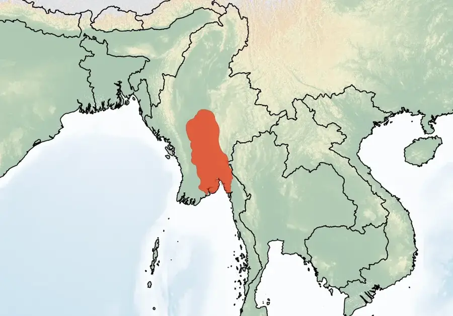
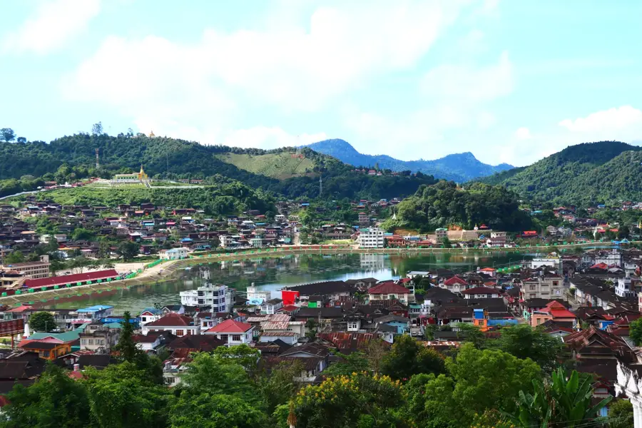
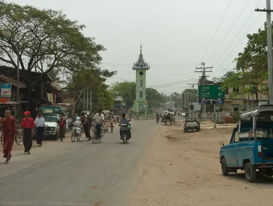
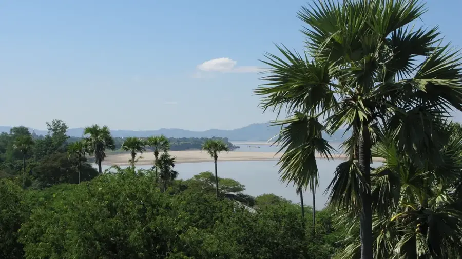
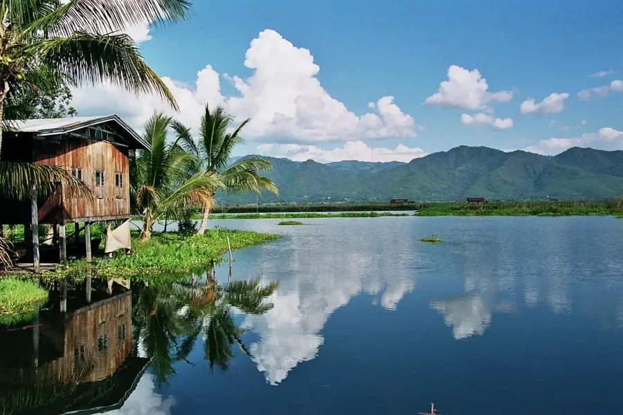
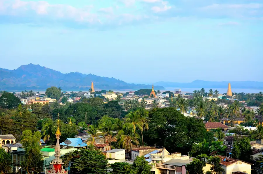
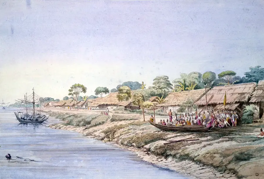
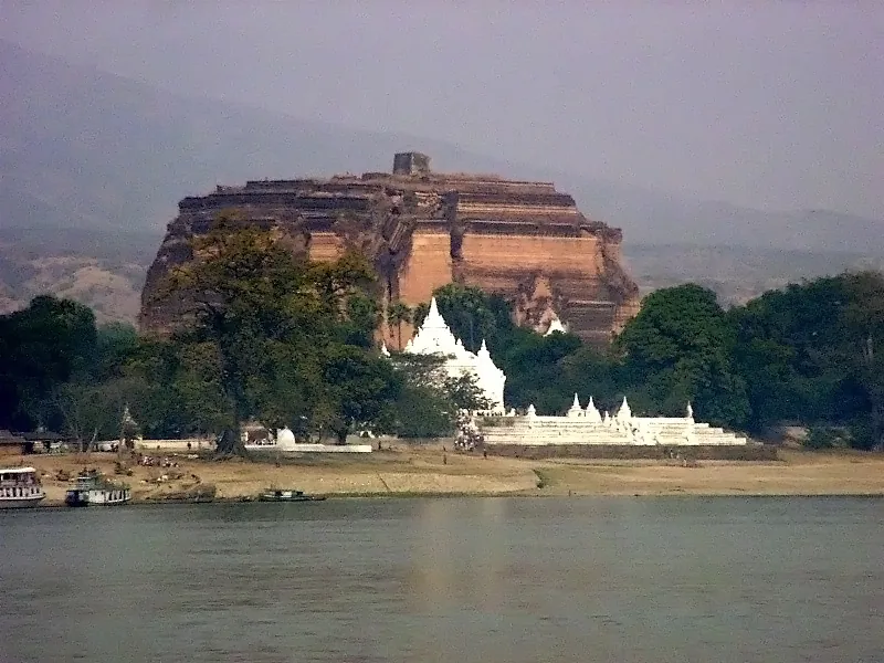
Myingyan stands on the Irrawaddy River in the Mandalay Region, 110 kilometres southwest of Mandalay, with about 124,000 inhabitants. Set in Myanmar's dry central basin, the town has an extreme arid climate with less than 700 mm of annual rainfall and has been a centre of cotton and sesame cultivation for centuries. During British Burma (1886-1948) Myingyan became a key railway junction and cotton processing town; in 1903 the British built one of Burma's first mechanised cotton ginneries here. The town occupies a strategic position between Bagan (95 kilometres to the west) and Mandalay, and saw heavy fighting in 1945 during World War II. Today the local economy is dominated by textile mills and the rice trade. The surrounding villages preserve traditional mud-brick houses and handcrafted rural industries.
- Location: Myanmar (Burma)
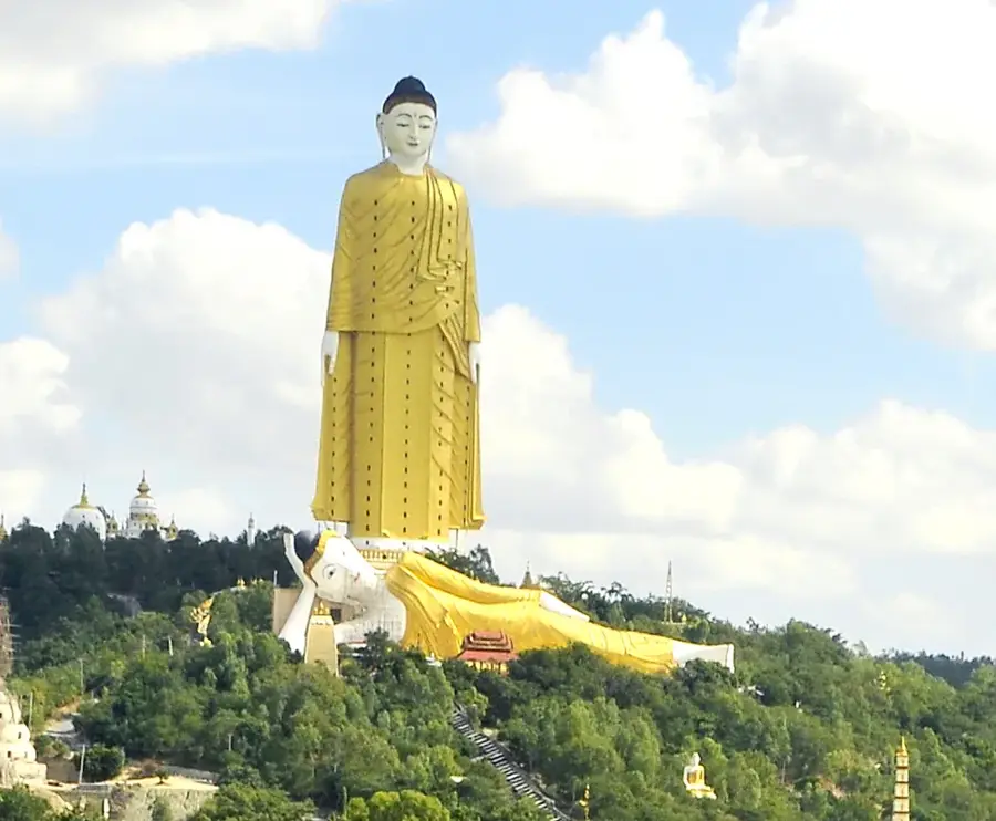
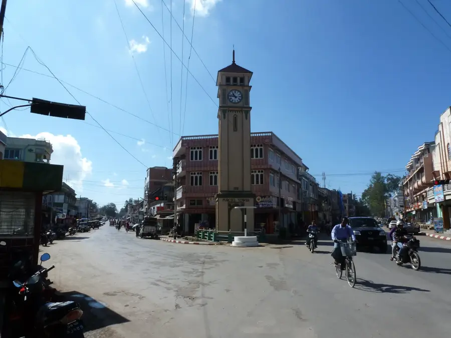
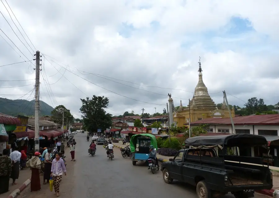
- Top sights: Town Clock Tower · Colonial Era Deputy Commissioner's House · Aung Mya Yin
- Nearby: Monywa (29 km)
- Population: ~141.713 (2016)
Best time to visit & climate
The most pleasant time to visit is Jan, Feb, Dec.
| Jan | Feb | Mar | Apr | May | Jun | Jul | Aug | Sep | Oct | Nov | Dec | |
|---|---|---|---|---|---|---|---|---|---|---|---|---|
| Avg °C | 22 | 25 | 29 | 32 | 33 | 31 | 31 | 31 | 31 | 30 | 27 | 24 |
| Rain mm | 7 | 1 | 9 | 15 | 38 | 44 | 40 | 42 | 40 | 49 | 10 | 7 |
Geography
Facts
- Bevölkerung ca. 124.000
- 110 km südwestlich von Mandalay
- Liegt am Irrawaddy-Fluss
- Trockenklima, unter 700 mm Niederschlag
- Britisch-Birma 1886-1948
- Baumwollentkörnungsanlage 1903
- 95 km östlich von Bagan
- Schauplatz schwerer Kämpfe 1945
Explore nearby
Notable places around
Route planner — Car & Motorhome
Where do you start? We build the route here, with stops and country notes along the way.
© OpenStreetMap contributors · OpenRouteService
Sights in the town Myingyan (7)
Frequently asked questions
What should one have seen in Myingyan?
Is the city heavily visited by tourists?
What means of transport are available?
What is the climate there?
Is a guide necessary?
Myingyan: where is it located?
Myingyan: what is there to see?
Myingyan: when is the best time to visit?
Myingyan: why is it worth visiting?

Nearby cities
History & landmarks
Nature
More places