Plizio Visual Lab
Zibyu Taungdan
Weather…
Water temperature…
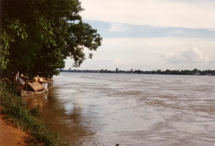
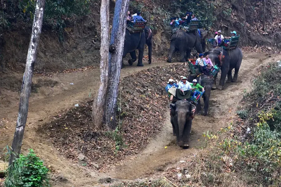
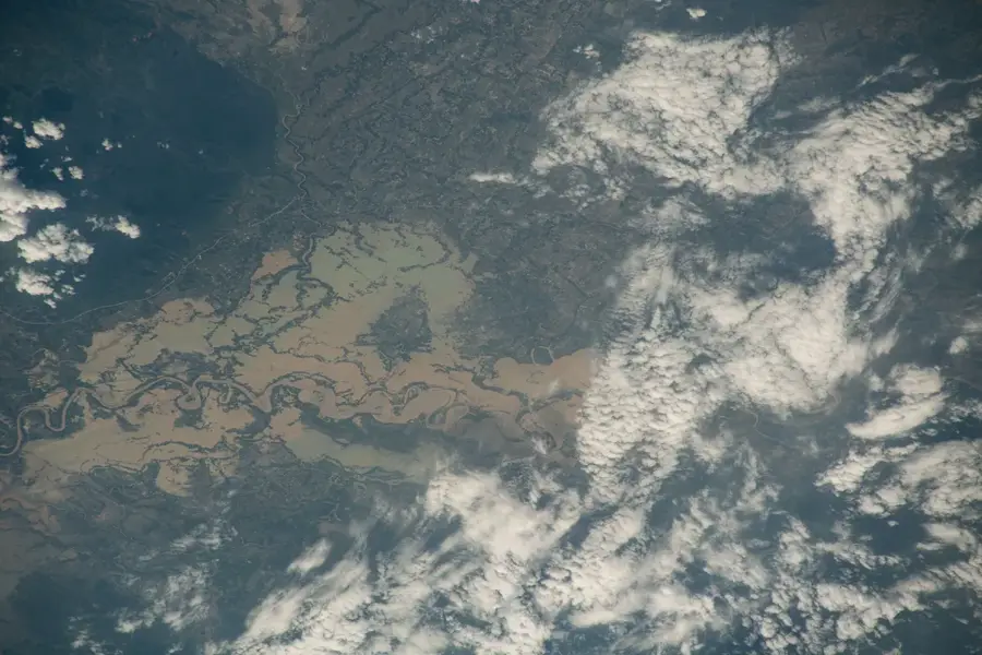
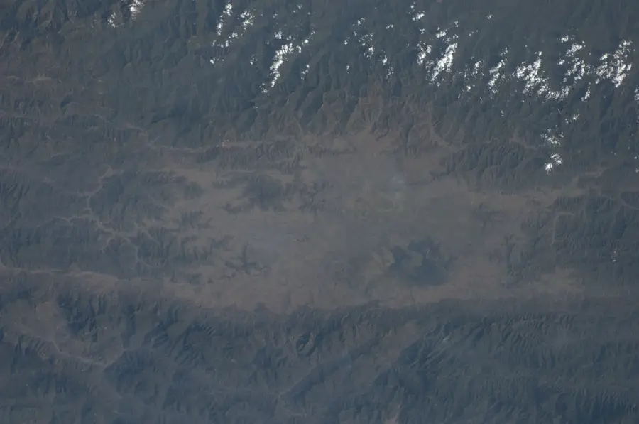
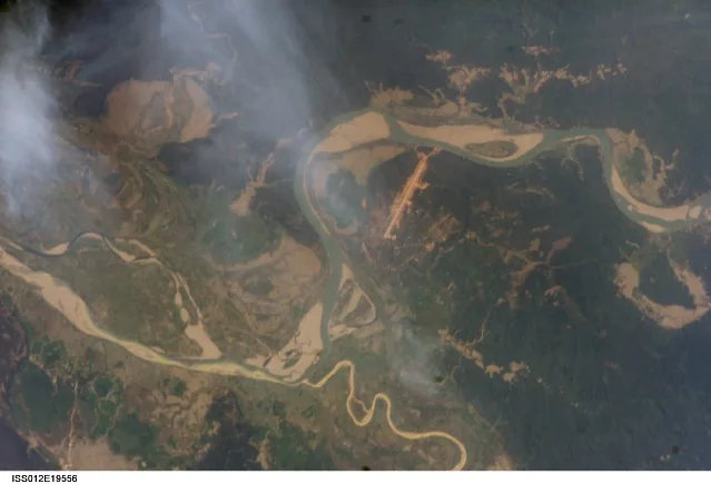
Zibyu Taungdan is a prominent mountain range in the Sagaing Region of northwestern Myanmar, forming part of the complex Indo-Burman mountain system. It extends in a north-south direction and serves as a natural barrier to the west of the Chindwin River. The formation of the mountains is closely linked to the collision of the Indian and Eurasian plates, which resulted in significant tectonic uplift. Elevations typically vary between 500 and 1,200 meters, with the ridges often covered by dense monsoon forest and tropical rainforest. Geologically, the range consists primarily of sedimentary rocks such as sandstone and shale from the Tertiary period. The region is sparsely populated and serves as an important corridor for wildlife, particularly for rare species that find refuge in the undisturbed forest areas. Due to the difficult terrain, infrastructure is minimally developed, which has largely preserved the original natural environment. For the local population, the mountain range provides important resources such as medicinal plants and timber. Zibyu Taungdan is also a significant watershed for the numerous streams that flow into the Chindwin.
- Location: Myanmar (Burma)
- Top sights: pagoda · K. Ashang Khullen Aze trade centre
- Nearby: Thandwe (54 km)
Best time to visit & climate
The most pleasant time to visit is Feb, Nov, Dec.
| Jan | Feb | Mar | Apr | May | Jun | Jul | Aug | Sep | Oct | Nov | Dec | |
|---|---|---|---|---|---|---|---|---|---|---|---|---|
| Avg °C | 17 | 19 | 23 | 26 | 27 | 28 | 27 | 27 | 27 | 24 | 21 | 18 |
| Rain mm | 9 | 16 | 41 | 95 | 138 | 170 | 186 | 147 | 125 | 95 | 18 | 13 |
📋 Practical info
Geography
Facts
- Zibyu Taungdan belongs geologically to the Indo-Burman fold belt.
- The highest peaks reach an elevation of approximately 1,200 meters.
- The mountain range runs parallel to the Chindwin River.
- The vegetation consists predominantly of teak and bamboo forests.
- The region is an important habitat for the Asian elephant.
- The rock layers originate mainly from the Eocene and Miocene periods.
Explore nearby
Notable places around
Route planner — Car & Motorhome
Where do you start? We build the route here, with stops and country notes along the way.
© OpenStreetMap contributors · OpenRouteService
Sights in the town Zibyu Taungdan (2)
Sights nearby
Frequently asked questions
What is Zibyu-Taungdan?
Is the area touristy?
Is it worth traveling to?
Is the area easy to find?
Is special preparation needed?
Zibyu Taungdan: where is it located?
Zibyu Taungdan: what is there to see?
Zibyu Taungdan: when is the best time to visit?
Zibyu Taungdan: why is it worth visiting?

Nearby cities

History & landmarks

Nature
More places