Plizio Visual Lab
Manyikeni Ruins

Weather…
Water temperature…
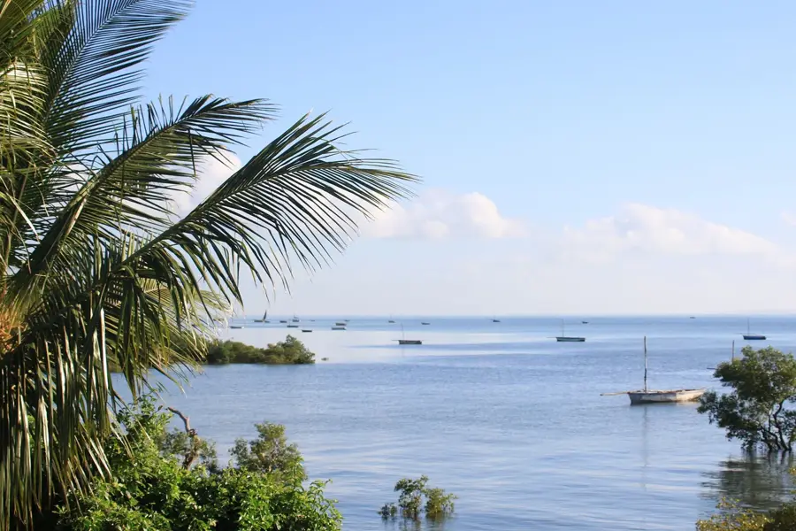
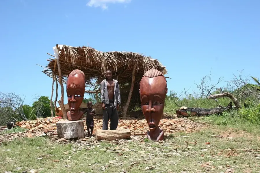
The Manyikeni Ruins are a significant archaeological site located about 50 kilometers west of Vilankulo, belonging to the Great Zimbabwe tradition. Occupied between the 12th and 17th centuries, the site is characterized by a circular stone wall built without mortar using granite blocks. Manyikeni served as a vital regional center for cattle herding and trade, maintaining a strong link with the coastal trading post of Chibuene. Archaeological excavations have revealed that the local elite lived within the stone enclosures, while the common population resided in simpler dwellings outside the walls. Finds such as glass beads and Islamic pottery prove early long-distance trade with Indian Ocean merchants. As part of the wider Zimbabwe culture, Manyikeni provides valuable insights into the social hierarchy and economic life of the late Iron Age in Southeast Africa.
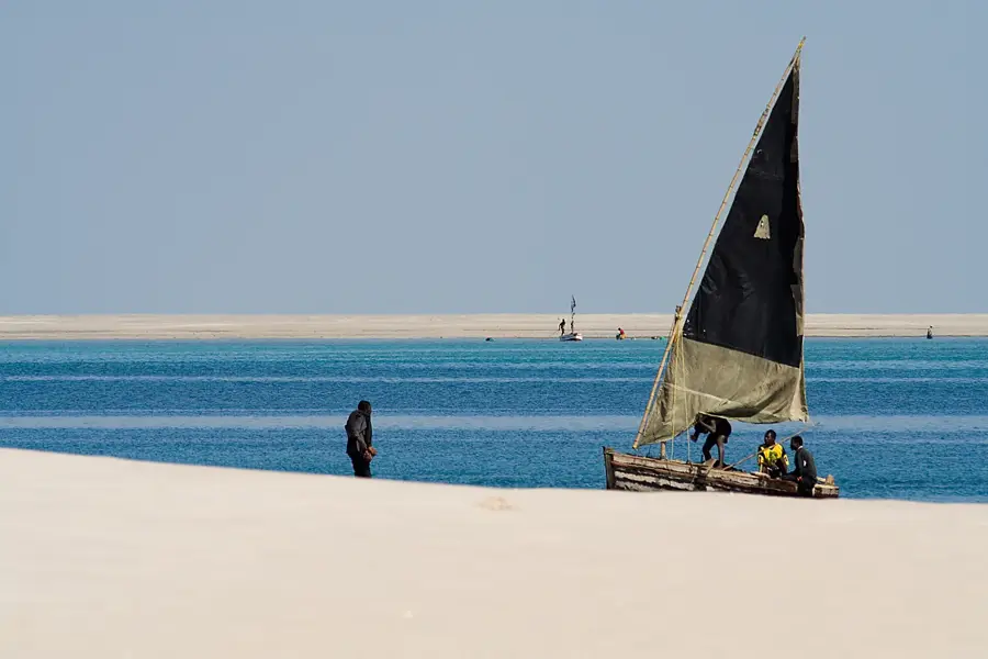
- Location: Mozambique
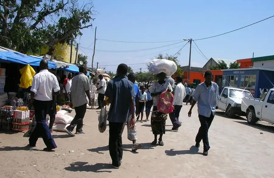
- Nearby: Vilankulo (58 km)
Best time to visit & climate
The most pleasant time to visit is Jun–Aug.
| Jan | Feb | Mar | Apr | May | Jun | Jul | Aug | Sep | Oct | Nov | Dec | |
|---|---|---|---|---|---|---|---|---|---|---|---|---|
| Avg °C | 28 | 28 | 27 | 26 | 24 | 22 | 21 | 22 | 24 | 26 | 27 | 28 |
| Rain mm | 120 | 109 | 97 | 47 | 16 | 25 | 31 | 7 | 11 | 28 | 65 | 161 |
📋 Practical info
Geography
Facts
- Period: 12th to 17th century
- Discovery: Archaeologically explored since 1975
- Tradition: Great Zimbabwe style
- Material: Mortarless granite walls
- Location: Inhambane Province
- Trade: Linked to Indian Ocean routes
Explore nearby
Notable places around
Route planner — Car & Motorhome
Where do you start? We build the route here, with stops and country notes along the way.
© OpenStreetMap contributors · OpenRouteService
Sights in the town Manyikeni Ruins (1)
Sights nearby
Frequently asked questions
What are the Manyikeni ruins?
What is the condition?
Is it worth visiting?
Do you need a guide?
What is the infrastructure like?
Manyikeni Ruins: where is it located?
Manyikeni Ruins: when is the best time to visit?
Manyikeni Ruins: why is it worth visiting?

Nearby cities


History & landmarks

More places