Plizio Visual Lab
Catandica
ℹ️Practical info — Catandica
▾
🌤 Weather — 5 days
📍 Nearby
Sights nearby
💡 Tips
- Always carry enough cash (Meticais), as ATMs do not always work reliably.
- Road conditions can be poor; plan more time for car journeys in the surrounding area.
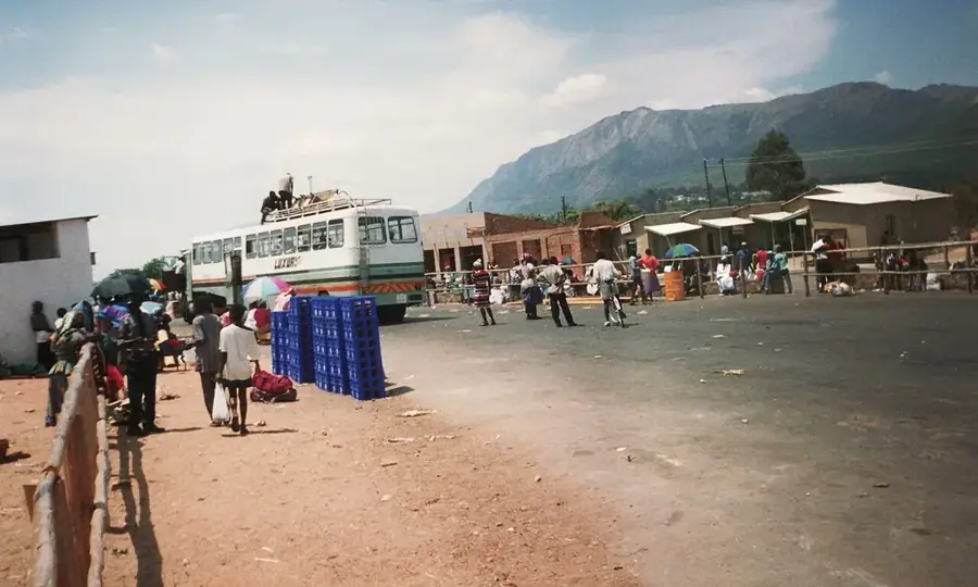
- The town serves as an important rest stop on the way to the Zimbabwe border.
- A friendly 'Bom dia' (Good morning) opens many doors with the locals.
🍽 Food
A traditional maize porridge served as a side dish in most small street eateries.
Grilled chicken, often spicily marinated, found at the stalls near the bus stops.
A dish made of cassava leaves and peanuts. Best tried in the simple eateries at the central market.
🛍 Shopping · 🧘 Quiet spots
At the open-air market in the center, you can find excellent mangoes and bananas from local farmers.
Small kiosks along the main road offer snacks and drinks for the onward journey.
A quiet, shaded spot away from the hustle of the transit road.
A short walk out of the center provides peaceful views of the Manica province landscape.
Water temperature…
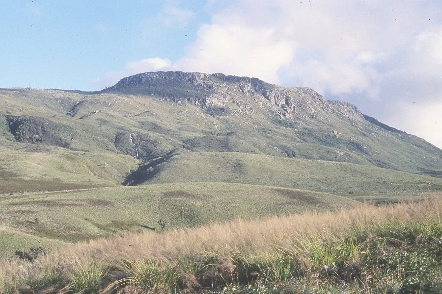
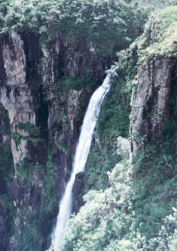
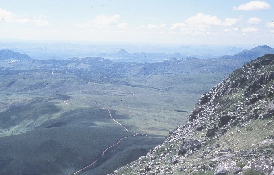
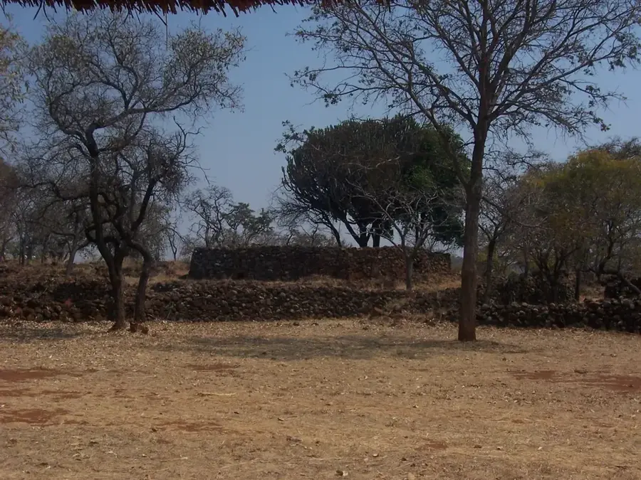
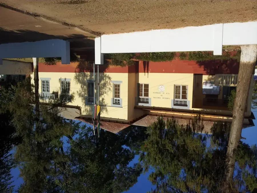
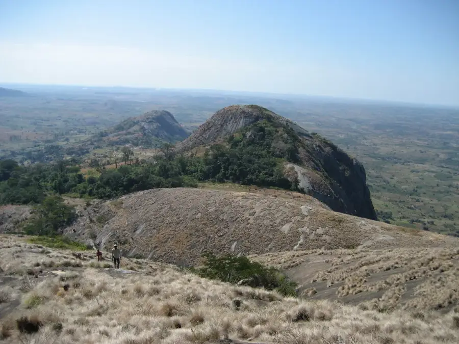
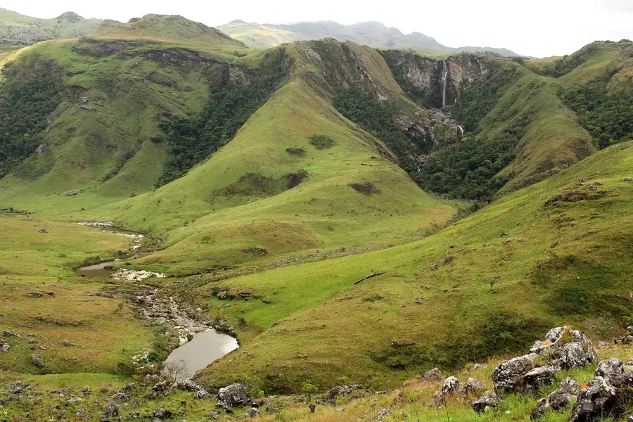
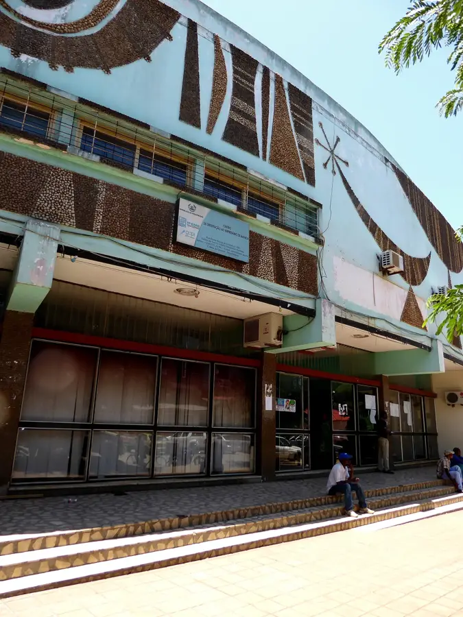
Catandica, formerly known as Vila Gouveia, is a historically rich town in the Manica Province of western Mozambique. The town is situated in the Báruè District, within a mountainous landscape near the border with Zimbabwe. Historically, Catandica is inextricably linked to the Báruè Rebellion of 1917, a major resistance movement against colonial rule that originated in this region. Geographically, the town benefits from its high elevation and the fertile valleys of the Choa Mountains, which support diverse agricultural production. Today, the town serves as a vital transit point on the highway connecting Beira and Tete, acting as a commercial hub for grains, tobacco, and fruits. Local culture proudly preserves the traditions of the Báruè people, manifested in regular commemorations and traditional music. Despite its turbulent history, Catandica has evolved into a peaceful agricultural center noted for its natural beauty and cool climate. The architecture blends colonial-era structures with newer public buildings that reflect the town's steady growth.
- Location: Mozambique
- Nearby: Manica (89 km)
- Population: ~25.869 (2024)
Best time to visit & climate
The most pleasant time to visit is Aug–Oct.
| Jan | Feb | Mar | Apr | May | Jun | Jul | Aug | Sep | Oct | Nov | Dec | |
|---|---|---|---|---|---|---|---|---|---|---|---|---|
| Avg °C | 23 | 22 | 21 | 19 | 17 | 16 | 15 | 18 | 21 | 23 | 24 | 23 |
| Rain mm | 286 | 236 | 207 | 89 | 26 | 24 | 35 | 7 | 18 | 40 | 108 | 287 |
Geography
Facts
- Center of the Báruè Rebellion against Portugal in 1917
- Formerly named Vila Gouveia until the year 1975
- Located at the foot of the Choa Mountains in Manica Province
- Key station on the EN7 highway leading toward Tete
- The region is famous for high-quality tobacco cultivation
- Main trading hub for maize and fruit in the Báruè District
Explore nearby
Notable places around
Route planner — Car & Motorhome
Where do you start? We build the route here, with stops and country notes along the way.
© OpenStreetMap contributors · OpenRouteService
Sights in the town Catandica (1)
Frequently asked questions
Where is Catandica located?
Is it a tourist place?
What do the surroundings offer?
Best time to visit?
How long to stay?
Catandica: where is it located?
Catandica: when is the best time to visit?
Catandica: why is it worth visiting?

Nearby cities


History & landmarks
More places