Plizio Visual Lab
Komovi
Weather…
Water temperature…
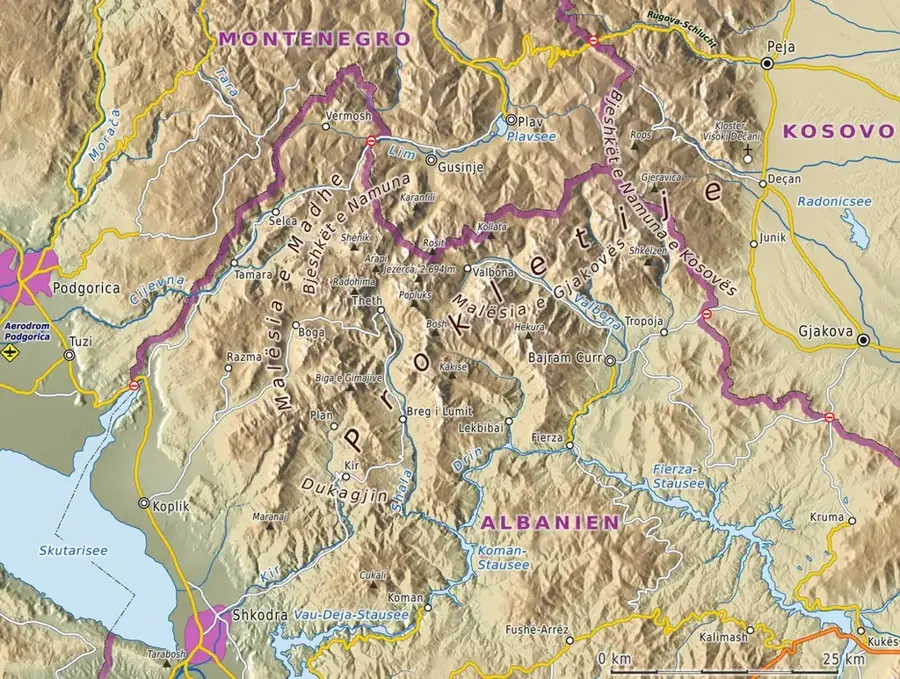
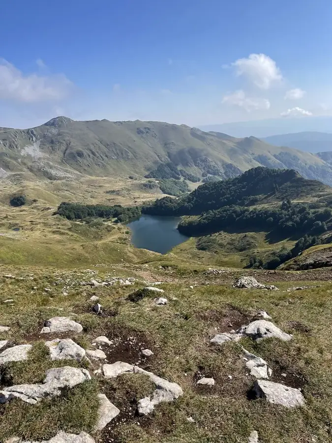
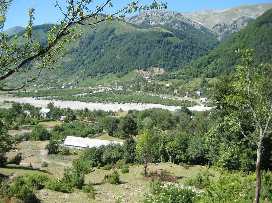
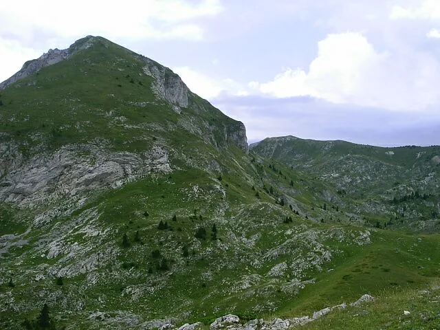
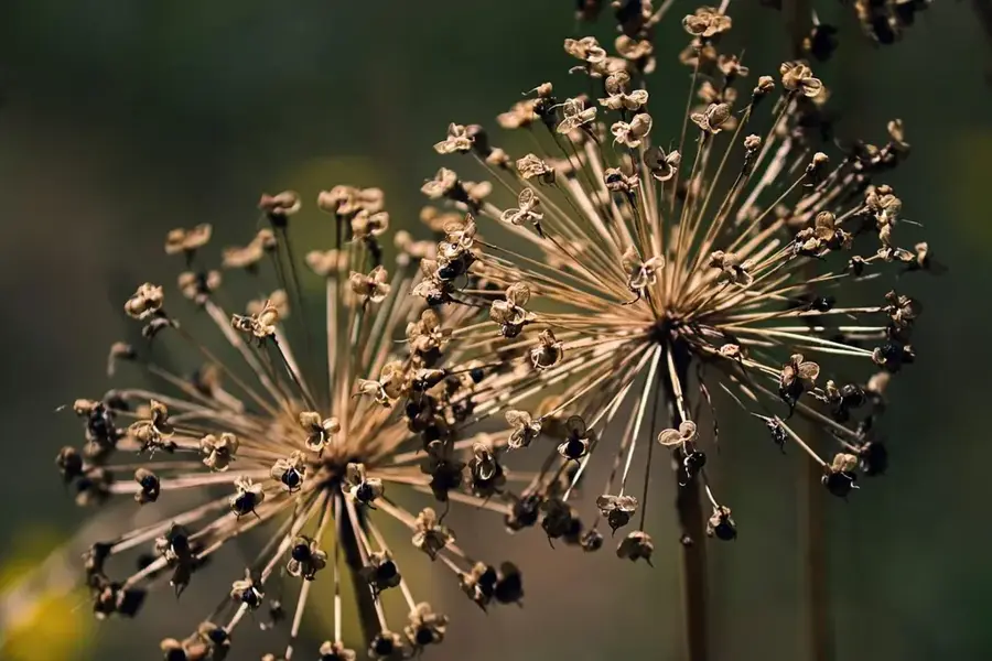
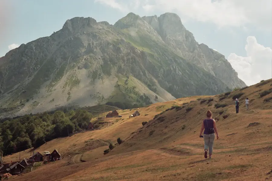
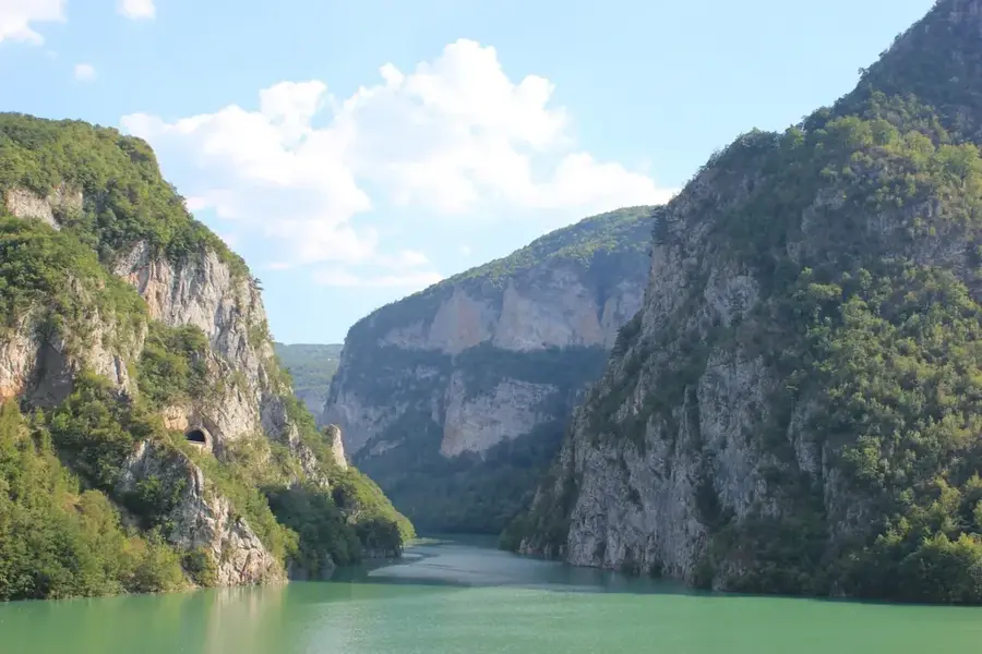
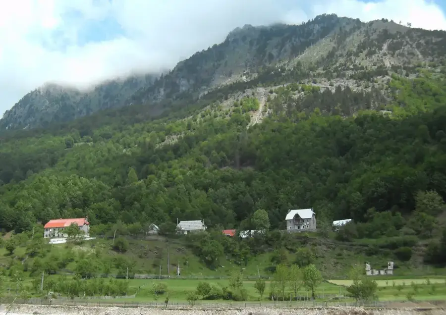
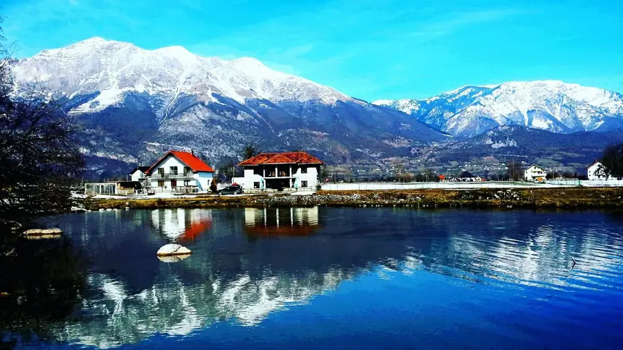
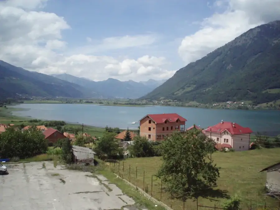
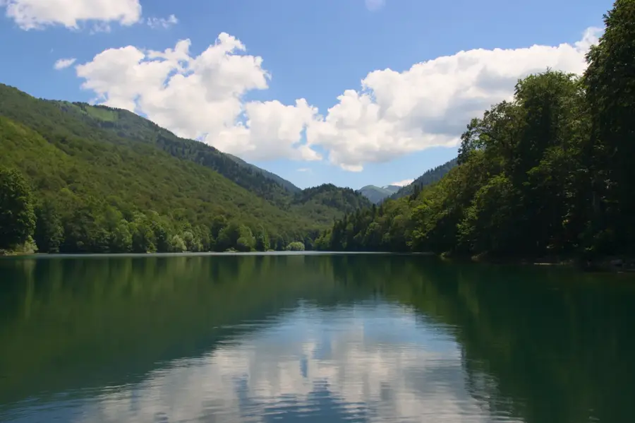
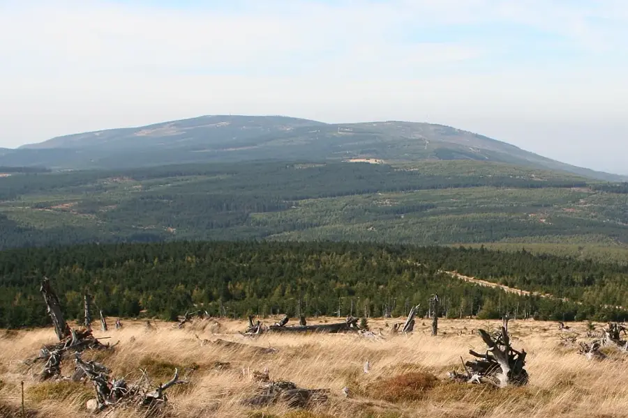
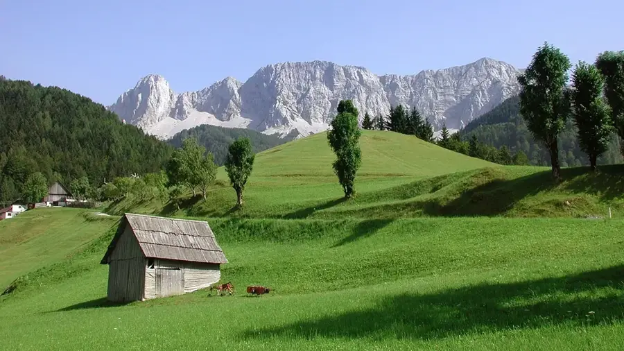
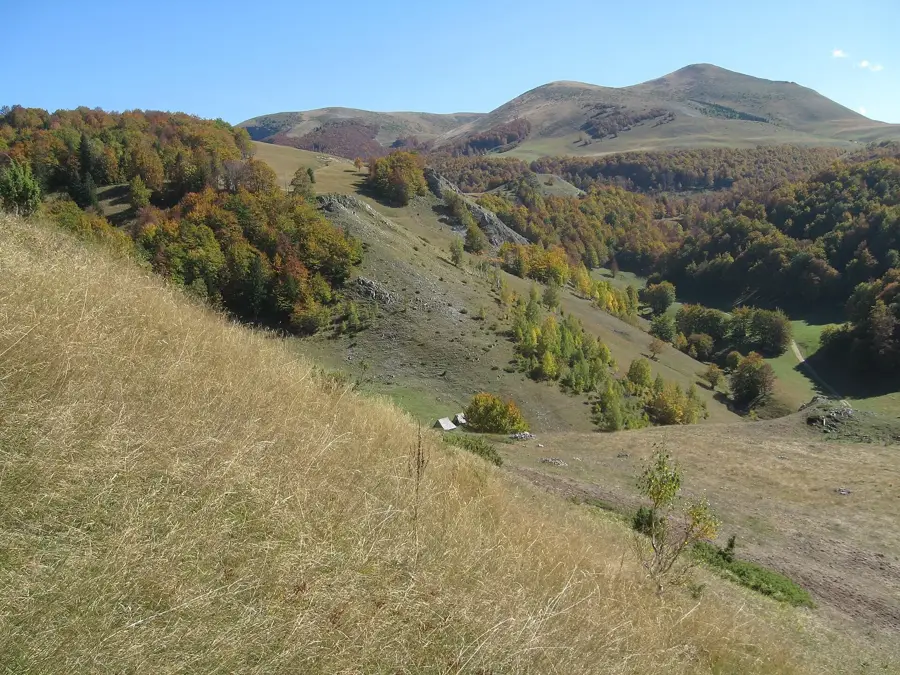
The Komovi mountains represent one of the most magnificent ranges in Montenegro, situated in the eastern part of the country as part of the Dinaric Alps. The massif is characterized by three prominent peaks: Kučki Kom (2,487 m), Ljevorečki Kom (2,469 m), and Vasojevićki Kom (2,461 m), which are separated by high mountain passes and deep cirques. Geologically, the range features a complex composition of limestone and flysch, with its rugged topography significantly shaped by Pleistocene glacial activity. The area is renowned for its exceptional biodiversity, hosting numerous endemic plant species and serving as a traditional summer grazing ground for the Vasojevići and Kuči tribes for centuries. The Štavna plateau acts as the primary hub for mountaineers and hikers, offering panoramic views and access to established climbing routes. Komovi is not only a natural monument but also a cultural icon, deeply embedded in local folklore and historical narratives of the Montenegrin highlands.
- Location: Montenegro
- Nearby: Andrijevica Agricultural Center (10 km)
Best time to visit & climate
The most pleasant time to visit is Jun–Aug.
| Jan | Feb | Mar | Apr | May | Jun | Jul | Aug | Sep | Oct | Nov | Dec | |
|---|---|---|---|---|---|---|---|---|---|---|---|---|
| Avg °C | -1 | 1 | 4 | 8 | 13 | 17 | 21 | 21 | 16 | 11 | 6 | 1 |
| Rain mm | 154 | 148 | 141 | 103 | 92 | 70 | 44 | 44 | 113 | 140 | 194 | 177 |
📋 Practical info
Geography
Facts
- Highest peak Kučki Kom at 2,487 m
- Part of the Dinaric Alps system
- Consists of three major peaks
- Shaped by Pleistocene glaciation
- Home to many endemic species
- Štavna plateau is the main trailhead
Explore nearby
Notable places around
Route planner — Car & Motorhome
Where do you start? We build the route here, with stops and country notes along the way.
© OpenStreetMap contributors · OpenRouteService
Sights in the town Komovi (1)
Sights nearby
Frequently asked questions
What are the three main peaks of Komovi?
Where is the best starting point for hikes?
Is Vasojevićki Kom difficult to climb?
Are there drinking water sources in the mountains?
When is there snow in Komovi?
Komovi: where is it located?
Komovi: when is the best time to visit?
Komovi: why is it worth visiting?

Nearby cities
Nature

More places