Plizio Visual Lab
Cobá
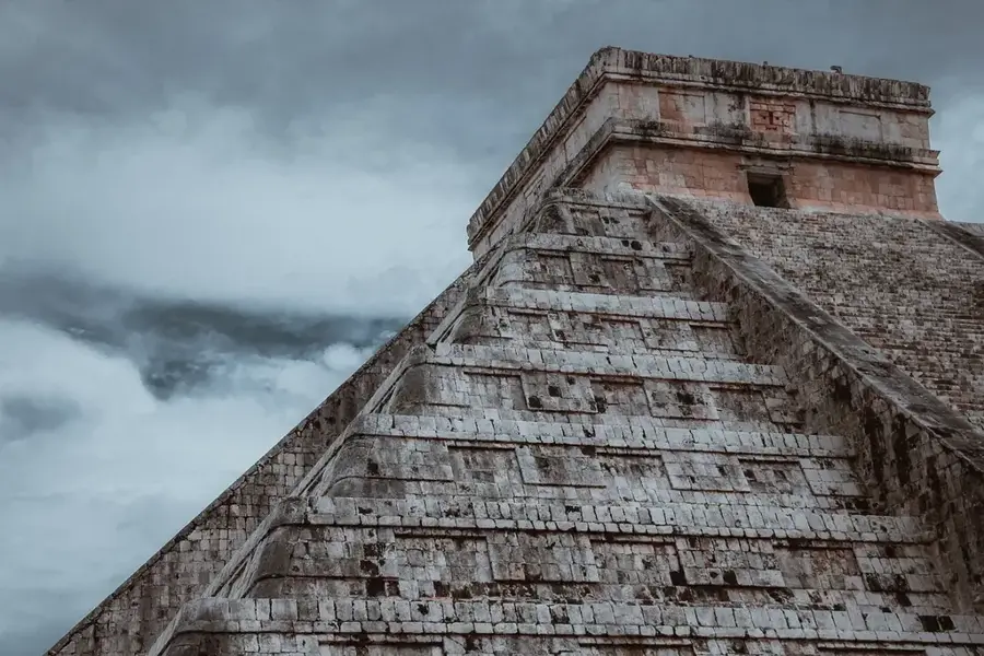
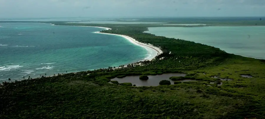
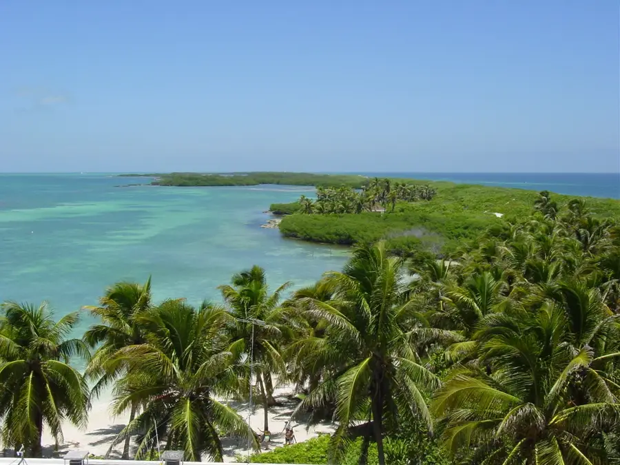
Cobá is a sprawling archaeological site in the state of Quintana Roo, famous for its vast network of 'Sacbeob' or white limestone roads. These elevated causeways connected various residential groups within the city, with the longest stretching over 100 kilometers to the site of Yaxuná. At the heart of the site stands the Nohoch Mul pyramid, which at 42 meters high is the tallest structure in the northern Yucatán Peninsula. The city is uniquely situated between two lagoons, a rare geographical feature for Maya settlements in this region. During its peak between 600 and 900 AD, Cobá housed an estimated 50,000 inhabitants and functioned as a major commercial and religious hub. The architecture exhibits strong influences of the Petén style, indicating close ties with southern Maya cities like Tikal. Unlike many other centers, Cobá remained significantly occupied and influential until the late Postclassic period.
- Location: Mexico
- Top sights: Estela 1 · Estela 28 · Estela 10
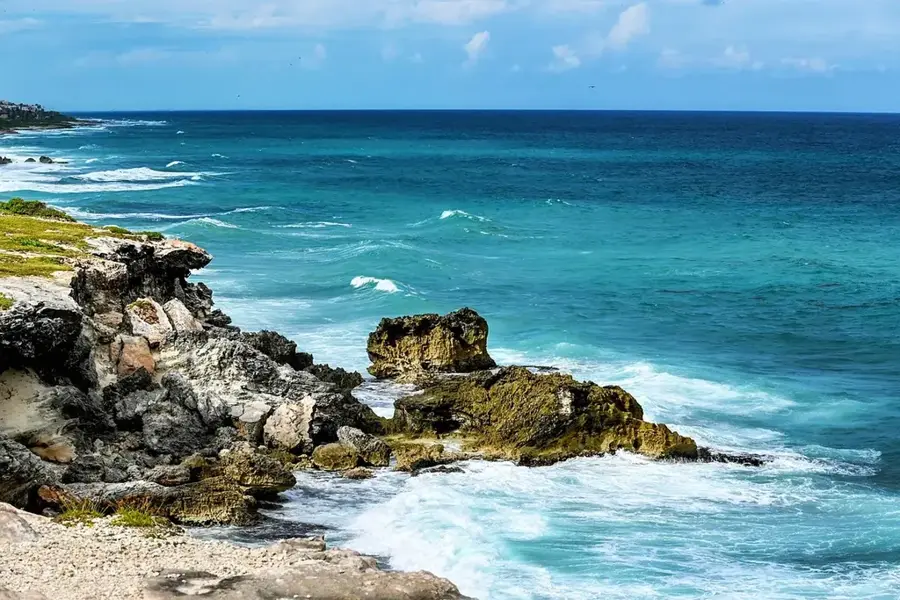
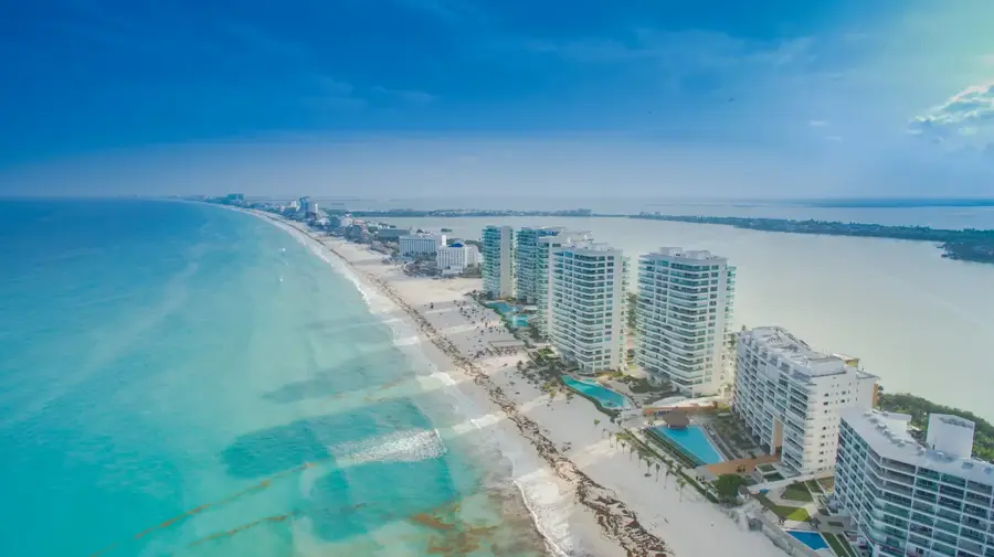
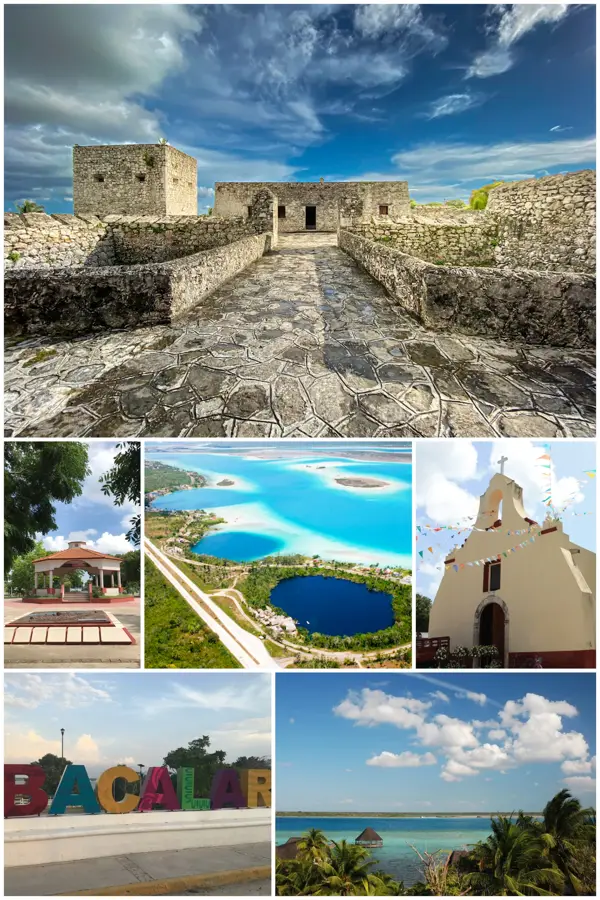
- Nearby: Mahahual (9 km)
Best time to visit & climate
The most pleasant time to visit is Jan, Feb, Dec.
| Jan | Feb | Mar | Apr | May | Jun | Jul | Aug | Sep | Oct | Nov | Dec | |
|---|---|---|---|---|---|---|---|---|---|---|---|---|
| Avg °C | 23 | 24 | 26 | 27 | 28 | 27 | 27 | 27 | 27 | 26 | 24 | 24 |
| Rain mm | 53 | 42 | 40 | 44 | 96 | 189 | 119 | 149 | 195 | 207 | 108 | 61 |
📋 Practical info
Geography
Facts
- Nohoch Mul pyramid stands at 42 meters tall
- Over 50 Sacbeob (white roads) traverse the city area
- Maximum population reached 50,000 inhabitants around 800 AD
- Situated between the lagoons of Cobá and Macanxoc
- The longest sacbe runs 100 km to the site of Yaxuná
- Stelae with inscriptions dating from 600 to 900 AD
Explore nearby
Notable places around
Route planner — Car & Motorhome
Where do you start? We build the route here, with stops and country notes along the way.
© OpenStreetMap contributors · OpenRouteService
Sights in the town Cobá (5)
Sights nearby
Frequently asked questions
What is the best way to explore Coba?
Can you climb the big pyramid?
How long does the visit take?
When is the best time?
Are there toilets?
Cobá: where is it located?
Cobá: what is there to see?
Cobá: when is the best time to visit?
Cobá: why is it worth visiting?

Nearby cities
History & landmarks

More places