Plizio Visual Lab
Iguala
ℹ️Practical info — Iguala
▾
🌤 Weather — 5 days
📍 Nearby
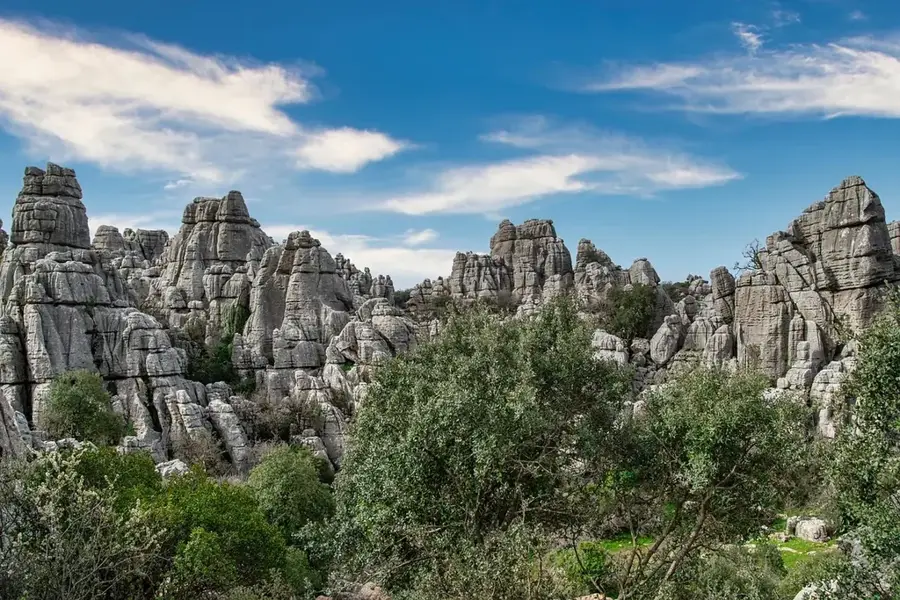
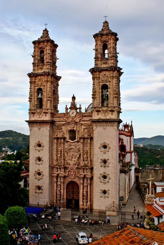
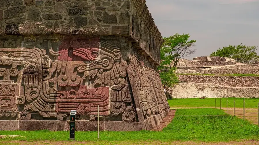
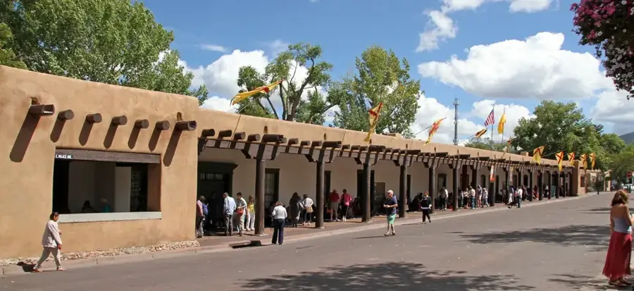
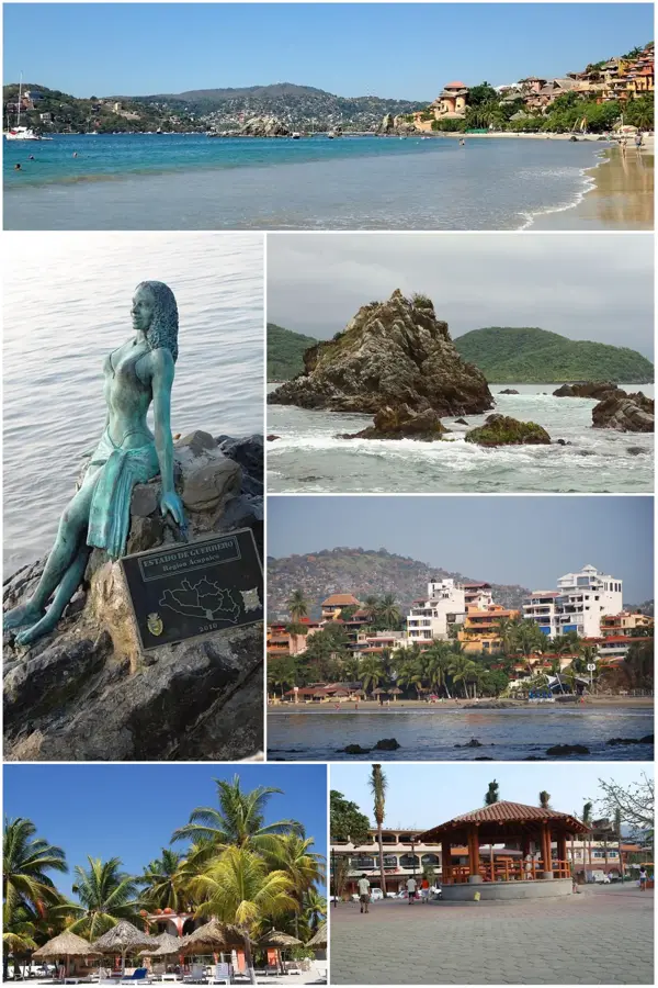
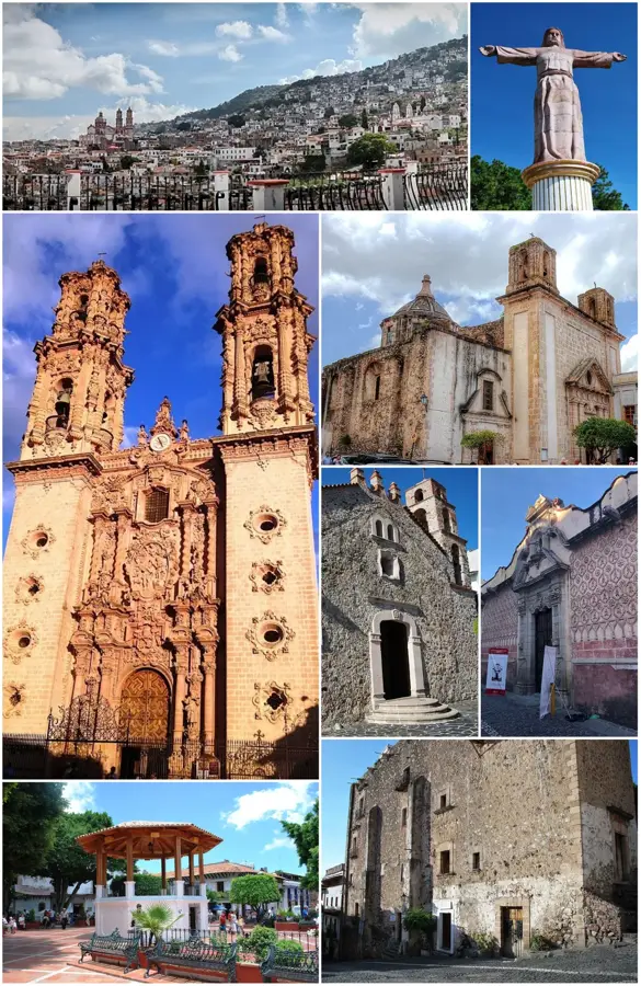
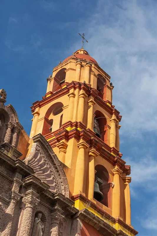
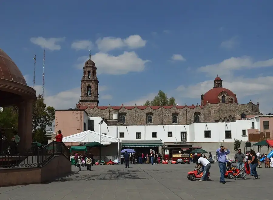
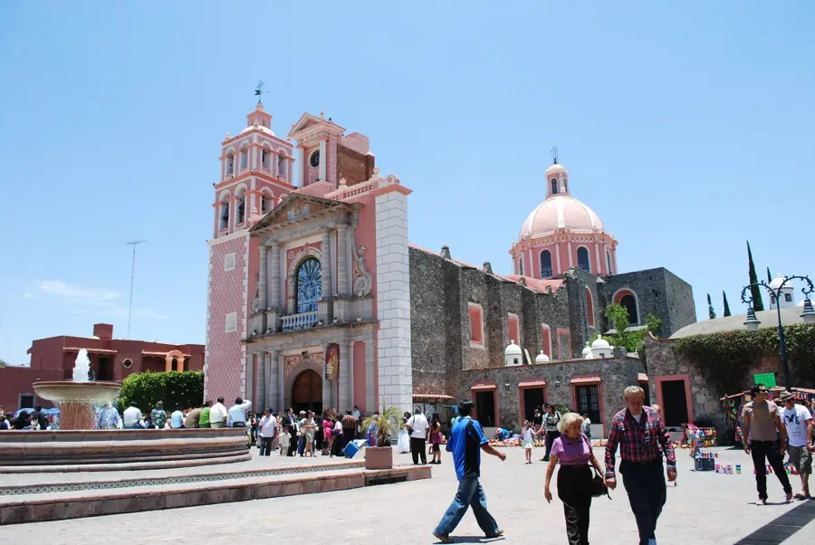
Sights nearby
💡 Tips
- Visit the Asta Bandera (Flagstaff) on Cerro Tehuehue early in the morning for the best views and cooler weather.
- The local market can be overwhelming; keep small change handy for quicker transactions.
- Taxis are abundant, but always confirm the fixed fare to your destination before getting in.
- Gold jewelry here is famous for its quality and price, but only buy from established shops around the main square.
🍽 Food
A local culinary specialty often prepared adobo style, found in traditional restaurants near the center.
A rich green hominy stew typically enjoyed on Thursdays in Guerrero, available at local pozolerías.
Cool down with traditional water-based ice cream from vendors around the Zócalo.
🛍 Shopping · 🧘 Quiet spots
Iguala is famous for gold; browse the numerous joyerías (jewelry shops) near the center for good deals.
A sprawling market first-rate for buying local spices, fresh cheese, and typical Guerrero crafts.
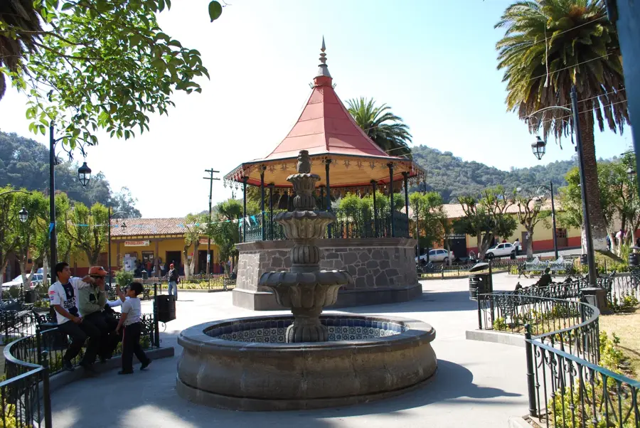
Relax on a bench under the tamarind trees in the main square during the quieter morning hours.
Walk up to the flag monument for a peaceful panoramic view of the city, especially near sunset.
Water temperature…
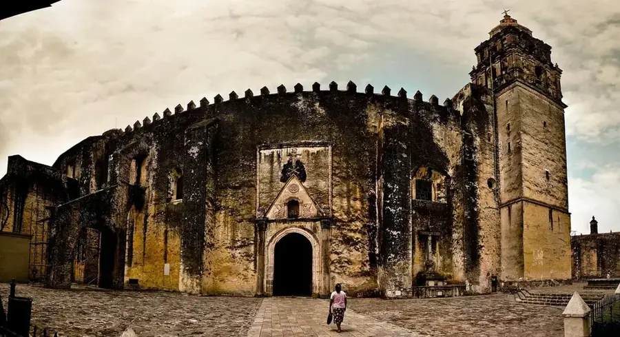
Iguala de la Independencia is a historic and vital city in the state of Guerrero, known throughout Mexico as the 'Cradle of the Flag.' It was here in 1821 that the 'Plan of Iguala' was signed, and the first Mexican flag was created, marking a decisive step toward national independence. The city is deeply proud of this heritage, celebrated at the Monument to the Flag and the massive 'Asta Bandera' on a nearby hill. Iguala is a major agricultural and commercial center for northern Guerrero, known for its gold jewelry production and its spirited traditional markets. The city features a warm tropical climate and is surrounded by rugged mountains. With its deep historical significance, its role as a regional economic hub, and its spirited local traditions, Iguala is an essential destination for understanding the birth of the Mexican nation.
- Location: Mexico
- Top sights: Cici de Iguala · Monumental Flag · Monumento Patria Trigarante
- Nearby: Taxco (8 km)
- Population: ~118.468 (2018)
Best time to visit & climate
The most pleasant time to visit is Jan, Feb, Dec.
| Jan | Feb | Mar | Apr | May | Jun | Jul | Aug | Sep | Oct | Nov | Dec | |
|---|---|---|---|---|---|---|---|---|---|---|---|---|
| Avg °C | 19 | 21 | 23 | 26 | 26 | 23 | 22 | 22 | 21 | 21 | 20 | 19 |
| Rain mm | 7 | 8 | 9 | 13 | 70 | 193 | 197 | 209 | 204 | 78 | 19 | 4 |
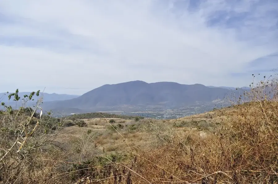
Geography
Facts
- Site of the signing of the Plan of Iguala on February 24, 1821.
- Home to one of the tallest flagpoles in Mexico at 113 meters high.
- The city's flag is 55 meters long and 31 meters wide.
- Founded around 1532 as a Spanish settlement.
- Located at an altitude of 730 meters above sea level.
- Known as the 'Sultan of the Valley' for its regional dominance.
- Major center for artisanal gold and silver jewelry in Guerrero.
- Average annual temperature is a warm 26 degrees Celsius.
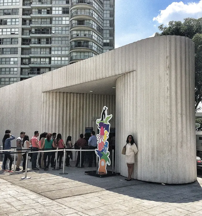
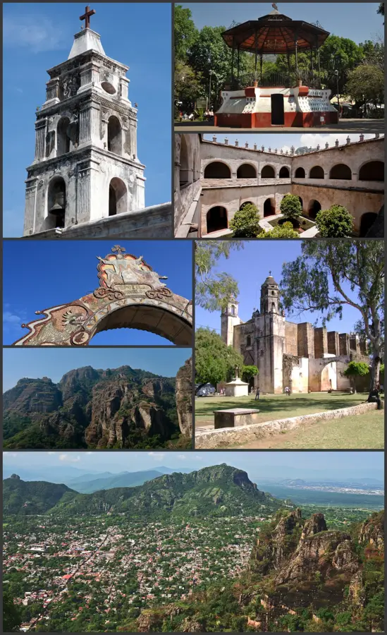
Explore nearby
Notable places around
Route planner — Car & Motorhome
Where do you start? We build the route here, with stops and country notes along the way.
© OpenStreetMap contributors · OpenRouteService
Sights in the town Iguala (3)
Frequently asked questions
What is Iguala?
What is there to visit?
Is it touristic?
How is the climate?
How to travel there?
Iguala: where is it located?
Iguala: what is there to see?
Iguala: when is the best time to visit?
Iguala: why is it worth visiting?

Nearby cities


History & landmarks
More places