Plizio Visual Lab
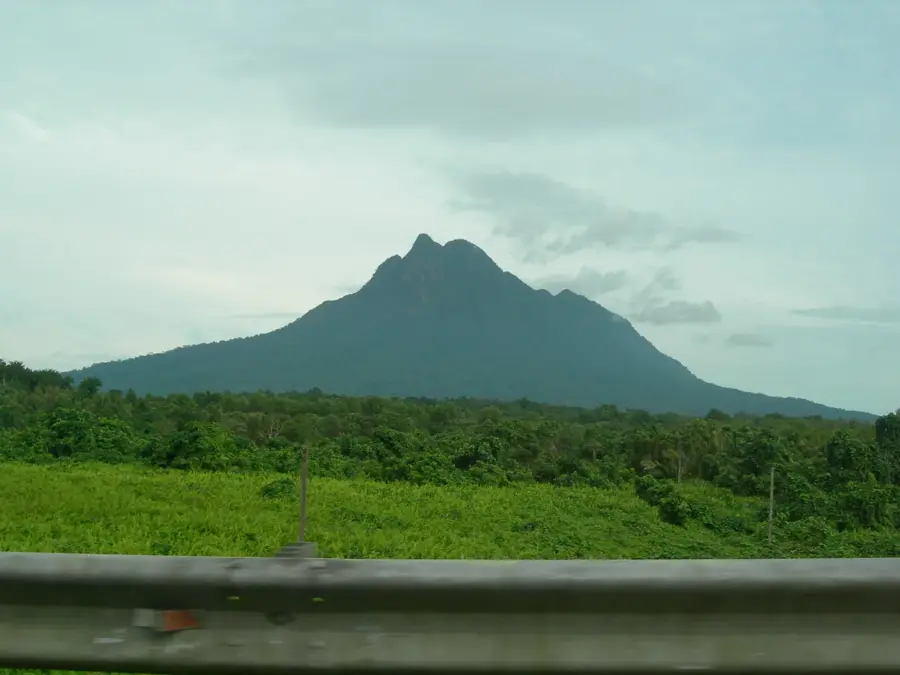
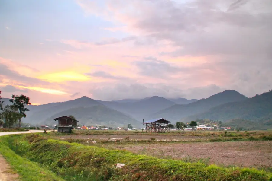
Mount Murud
Weather…
Water temperature…
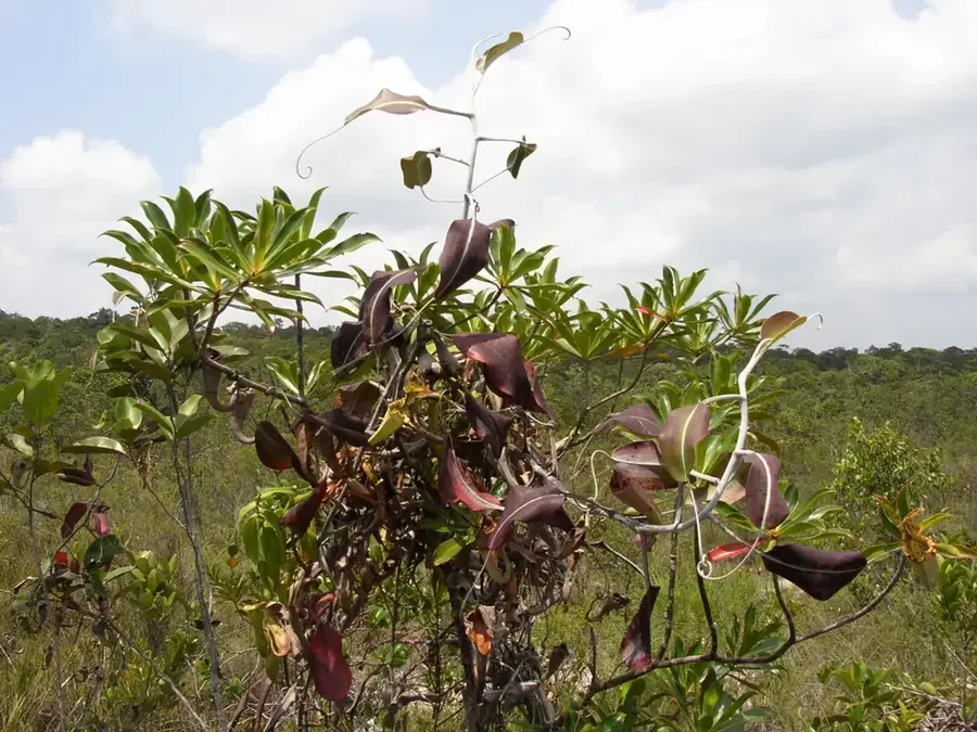
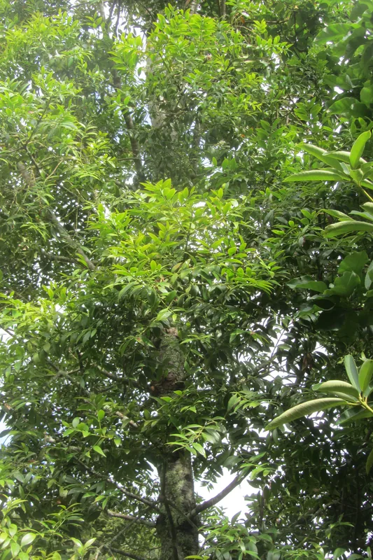
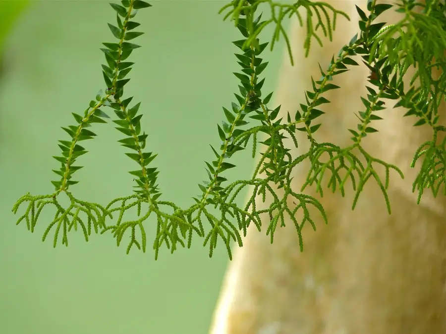
Mount Murud, standing at 2,423 meters above sea level, is the highest sandstone mountain in the state of Sarawak on the island of Borneo. Located within the Kelabit Highlands, it marks a significant geographical boundary near the Indonesian border. The mountain holds profound spiritual importance for the local Kelabit and Lun Bawang communities, who regard it as a sacred site for Christian pilgrimage, with a permanent 'Church Camp' established on its slopes for prayer retreats. Its unique sandstone geology supports a distinct ecosystem, home to several endemic flora species, most notably the pitcher plant Nepenthes murudensis, which is found nowhere else on Earth. The higher elevations are characterized by stunted mossy forests and sub-alpine vegetation that thrives in the consistently cool and misty environment. For trekkers, Mount Murud has a challenging ascent through some of the most remote and pristine wilderness areas remaining in Sarawak, providing wide-open views of the surrounding highlands.
- Location: Malaysia
- Nearby: Bario (10 km)
Best time to visit & climate
The most pleasant time to visit is Feb, Mar, Aug.
| Jan | Feb | Mar | Apr | May | Jun | Jul | Aug | Sep | Oct | Nov | Dec | |
|---|---|---|---|---|---|---|---|---|---|---|---|---|
| Avg °C | 20 | 20 | 21 | 21 | 21 | 20 | 20 | 20 | 20 | 20 | 20 | 20 |
| Rain mm | 233 | 157 | 173 | 230 | 253 | 230 | 219 | 207 | 216 | 277 | 278 | 266 |
📋 Practical info
Geography
Facts
- The highest peak in Sarawak, measuring 2,423 meters (7,949 ft).
- Primarily composed of sandstone, unlike the nearby limestone peaks.
- Only known habitat for the pitcher plant Nepenthes murudensis.
- Serves as a major spiritual center for Borneo's interior tribes.
- Located in the remote northeastern part of the Kelabit Highlands.
- The ascent usually takes 3 to 4 days from the nearest settlement.
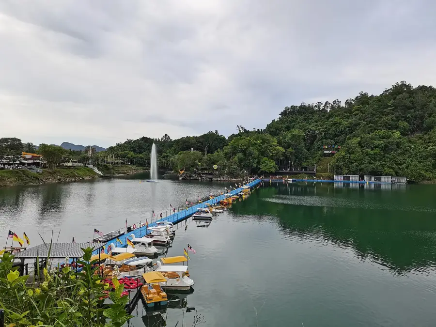
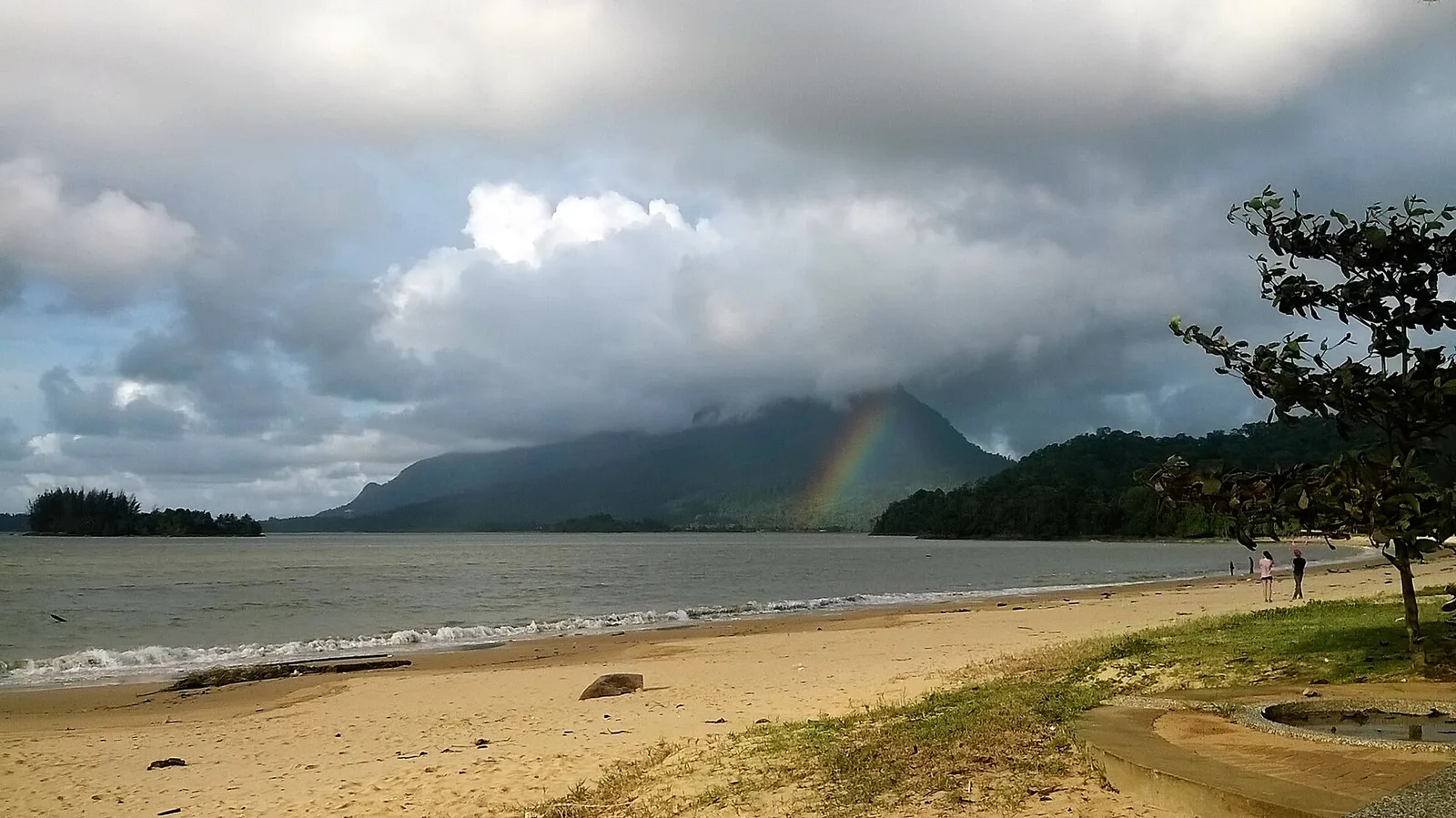
Explore nearby
Notable places around
Route planner — Car & Motorhome
Where do you start? We build the route here, with stops and country notes along the way.
© OpenStreetMap contributors · OpenRouteService
Sights in the town Mount Murud (1)
Sights nearby
Frequently asked questions
How difficult is climbing Mount Murud?
Do I need to hire a guide?
When is the best time to climb?
Are there accommodations on the way?
What is special about Murud?
Mount Murud: where is it located?
Mount Murud: when is the best time to visit?
Mount Murud: why is it worth visiting?

Nearby cities


Nature
More places