Plizio Visual Lab
Bukit Tudal

Weather…
Water temperature…
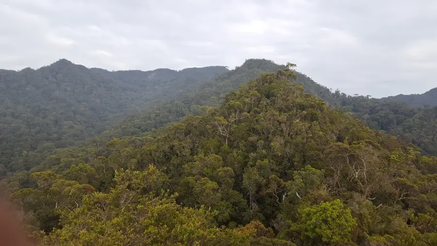
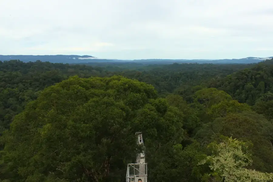
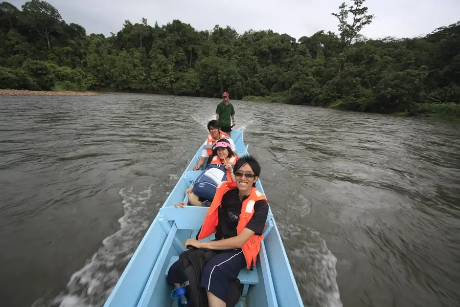
Bukit Tudal is a relatively unexplored mountain in the southern part of the Temburong district in Brunei, near the border with the Malaysian state of Sarawak. With an elevation of approximately 1,181 meters, it is among the higher peaks in the region. The mountain is located in an extremely remote and inaccessible area of the country, covered by dense, primary montane rainforest. There are no official trails, and expeditions into this area are rare and require significant logistical planning, including river navigation and dense jungle trekking. The region around Bukit Tudal is of high ecological importance, serving as a vital wildlife corridor. Due to its pristine condition, the area is a potential target for future scientific biodiversity expeditions, as it is believed to harbor yet-undiscovered species.
- Location: Brunei
- Nearby: Batu Apoi (19 km)
Best time to visit & climate
The most pleasant time to visit is Feb, Mar, Aug.
| Jan | Feb | Mar | Apr | May | Jun | Jul | Aug | Sep | Oct | Nov | Dec | |
|---|---|---|---|---|---|---|---|---|---|---|---|---|
| Avg °C | 21 | 21 | 22 | 22 | 22 | 22 | 21 | 21 | 22 | 21 | 22 | 21 |
| Rain mm | 260 | 151 | 169 | 223 | 254 | 254 | 247 | 230 | 248 | 315 | 306 | 298 |
📋 Practical info
Geography
Facts
- Part of the border with Sarawak.
- Difficult terrain to access.
Explore nearby
Notable places around
Route planner — Car & Motorhome
Where do you start? We build the route here, with stops and country notes along the way.
© OpenStreetMap contributors · OpenRouteService
Sights nearby
Frequently asked questions
Where is Bukit Tudal located?
How high is Bukit Tudal?
What is the characteristic relief of Bukit Tudal?
Is the area developed for tourists?
What clothing is recommended?
Bukit Tudal: where is it located?
Bukit Tudal: when is the best time to visit?
Bukit Tudal: why is it worth visiting?

Nearby cities

History & landmarks

Nature

More places