Plizio Visual Lab
Tsaratanana Massif

Weather…
Water temperature…
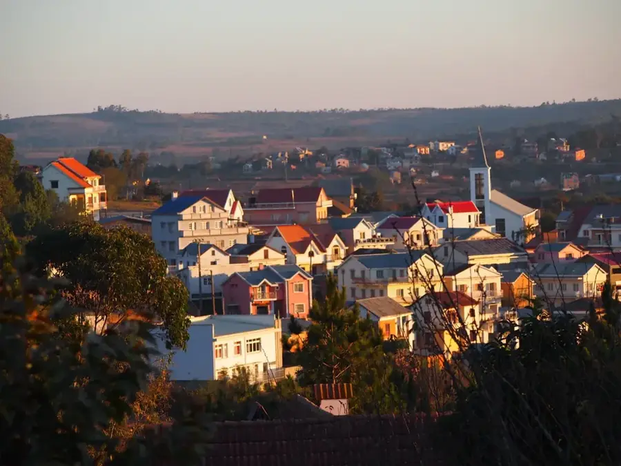
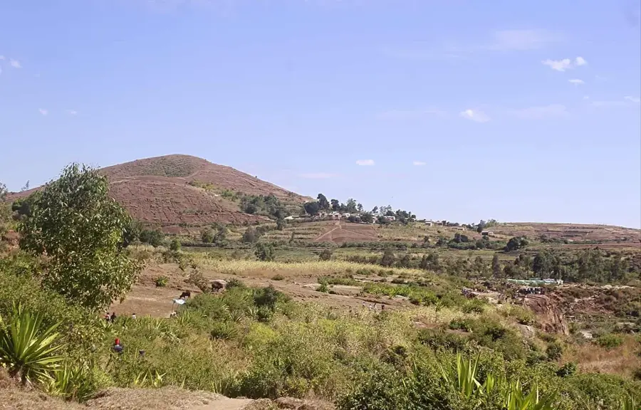
The Tsaratanana Massif in northern Madagascar is home to the island's highest peak, Maromokotro, which reaches an elevation of 2,876 meters. The region is classified as a strict nature reserve (Réserve Naturelle Intégrale) and is largely inaccessible to the general public, which has preserved its pristine state. Geologically, it is a volcanic massif characterized by deeply incised valleys and steep slopes. Vegetation varies according to altitude, ranging from tropical rainforest to high-altitude ericoid heath and lichen mats. Tsaratanana serves as a critical watershed, with several of the island's major rivers originating from its slopes. The isolation of the massif has led to the evolution of numerous local endemic species, including rare amphibians and birds that can only survive at these high elevations. Due to the difficult accessibility, the area remains one of the least explored ecosystems in Madagascar.
- Location: Madagascar
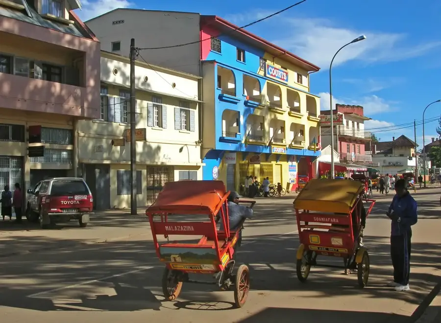
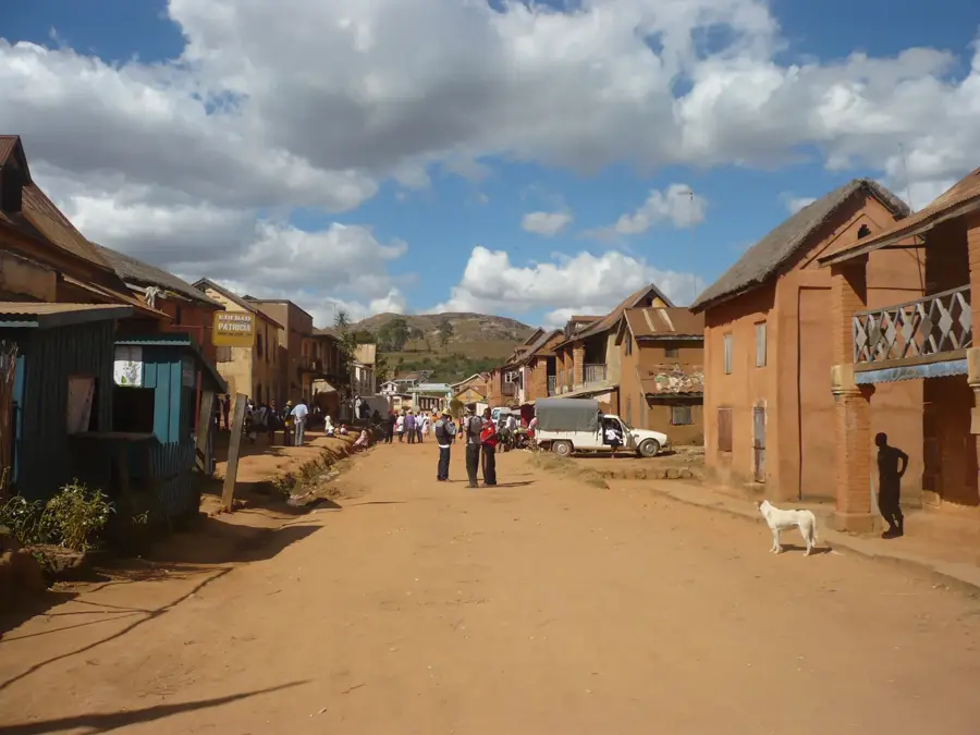
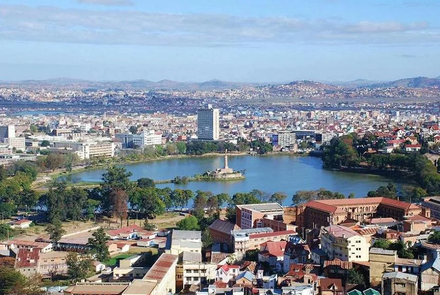
- Nearby: Ambanja (47 km)
Best time to visit & climate
The most pleasant time to visit is May, Aug, Sep.
| Jan | Feb | Mar | Apr | May | Jun | Jul | Aug | Sep | Oct | Nov | Dec | |
|---|---|---|---|---|---|---|---|---|---|---|---|---|
| Avg °C | 22 | 22 | 22 | 22 | 20 | 19 | 18 | 19 | 20 | 22 | 23 | 23 |
| Rain mm | 504 | 394 | 384 | 126 | 56 | 35 | 28 | 26 | 31 | 52 | 167 | 367 |
📋 Practical info
Geography
Facts
- Highest point: Maromokotro peak at 2,876 meters
- Status: Strict Nature Reserve (Réserve Naturelle Intégrale)
- Geology: Volcanic massif dating from the Tertiary period
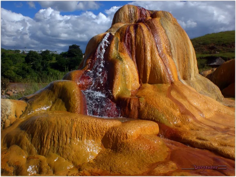
- Hydrology: Source of major rivers such as the Mahavavy
- Flora: The only region on the island with high-alpine vegetation
- Endemism: Home to the rare Tsaratanana chameleon
Explore nearby
Notable places around
Route planner — Car & Motorhome
Where do you start? We build the route here, with stops and country notes along the way.
© OpenStreetMap contributors · OpenRouteService
Sights nearby
Frequently asked questions
How high is the Tsaratanana Massif?
Is a climb possible for everyone?
Do I need a guide?
Which is the best season?
What to consider for luggage?
Tsaratanana Massif: where is it located?
Tsaratanana Massif: when is the best time to visit?
Tsaratanana Massif: why is it worth visiting?

Nearby cities


History & landmarks
More places