Plizio Visual Lab
Antananarivo
ℹ️Practical info — Antananarivo
▾
🌤 Weather — 5 days
📍 Nearby
Sights nearby
💡 Tips
- Traffic (embouteillages) is notoriously heavy; always plan extra time for moving across the city.
- The Haute-Ville is full of steep hills and stairs; explore on foot for the best experience.
- Use 'taxi-be' (minibuses) only if you know the exact route. For regular taxis, negotiate the fare before getting in.
- Enjoy the best sunset views over the city from the Rova (Queen's Palace) area.
- Carry small bills of Ariary, as getting change for large notes is often difficult.
🍽 Food
The national beef and pork stew with greens. Find upscale versions in the Isoraka district.
Pork cooked with crushed cassava leaves, a heavy but delicious local staple.
Try this tender local beef at a French-Malagasy fusion restaurant in the upper town.
🛍 Shopping · 🧘 Quiet spots
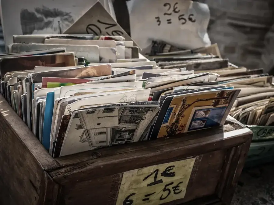
The iconic pavilions offering everything from spices to clothing in the lower town.
An artisanal market on the road to the airport, great for last-minute wood carvings and souvenirs.
A peaceful bird sanctuary built around a lake, right in the city.
A lovely spot for a daytime stroll with its prominent monument, though avoid it after dark.
Water temperature…
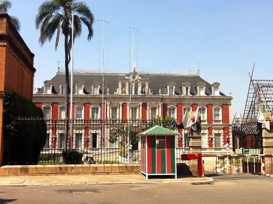
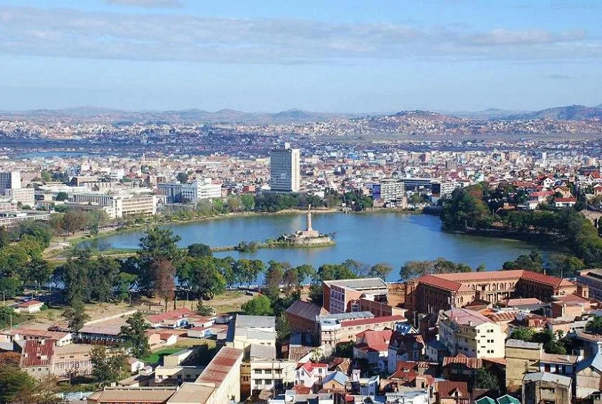
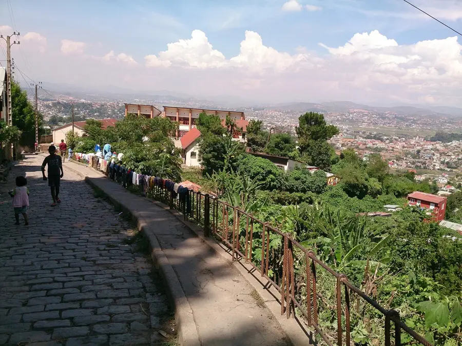
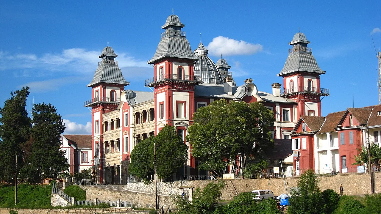
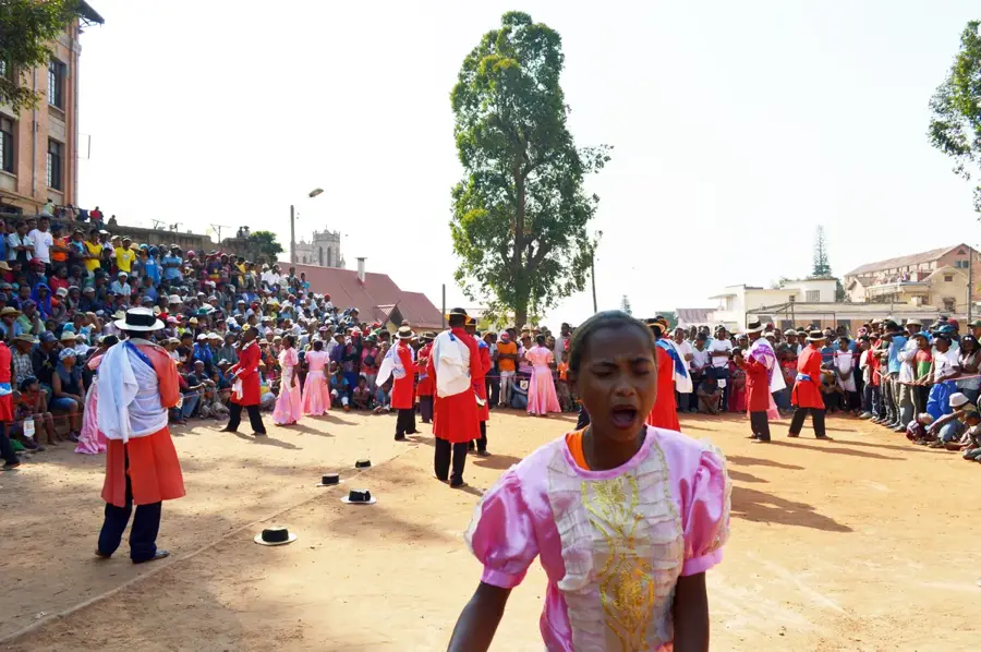
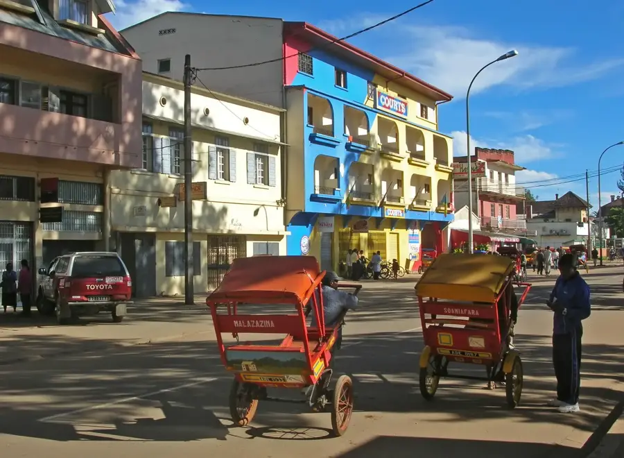
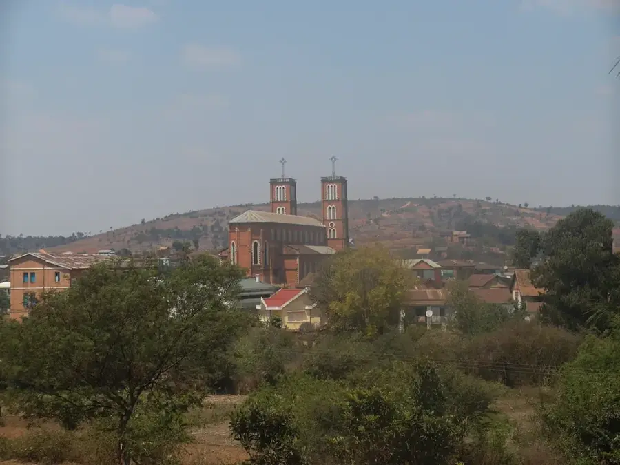
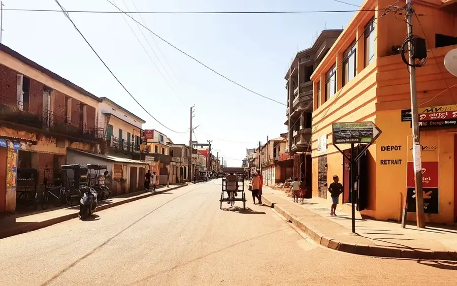
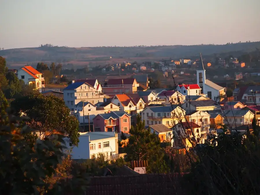
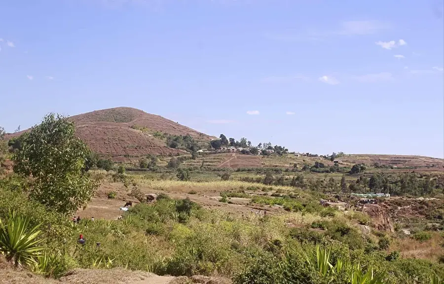
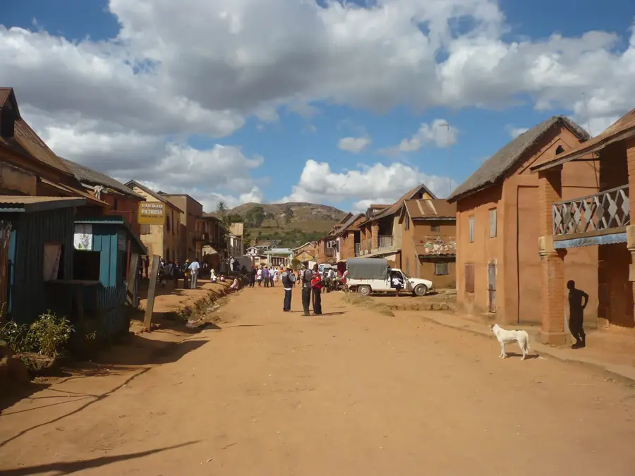
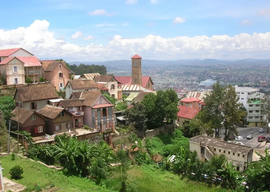
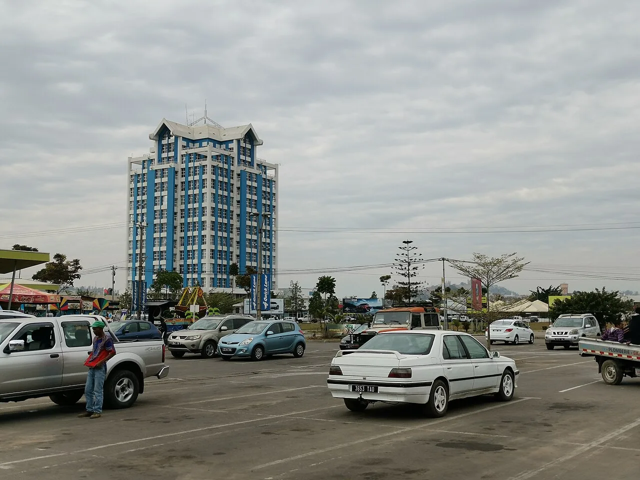
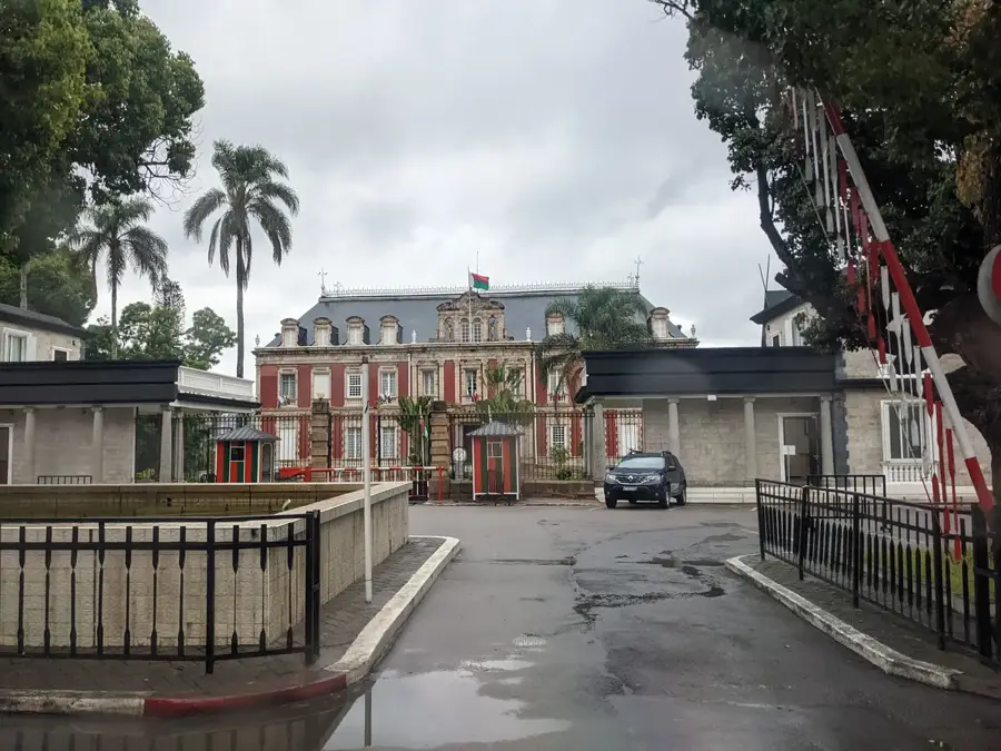
Antananarivo, the bustling capital of Madagascar, is a city of dramatic hills, rich royal history, and animated street life. Perched in the island's Central Highlands at an elevation of nearly 1,300 meters, it enjoys a subtropical highland climate that is markedly cooler than the sweltering coastal regions. Founded in the early 17th century by King Andrianjaka, the city's name means 'City of the Thousand,' honoring the troops that defended the newly established Merina stronghold. The city's geography is its most defining feature, with the 'Upper City' (La Haute Ville) housing the historic Rova, the royal palace complex that has a 360-degree view of the surrounding plains. Below the royal hills, the 'Middle City' and 'Lower City' sprawl out into former wetlands, many of which are still used for rice cultivation, creating a striking patchwork of urban density and emerald-green paddies. Antananarivo serves as the political, economic, and educational heart of Madagascar, hosting the nation's presidency, major banks, and the University of Antananarivo. The architecture is a unique blend of high-pitched Malagasy brick houses and French colonial landmarks, connected by steep staircases and narrow cobblestone alleys. The Analakely Market is the city's commercial soul, a vast expanse of stalls selling everything from vanilla and spices to locally made textiles. Despite its charm, Tana faces significant hurdles, including intense traffic congestion and an aging infrastructure struggling to keep pace with a population that has swelled to over 1.3 million. Culturally, the city is the center of Merina tradition, famous for its Hira Gasy performances and a culinary scene that highlights the Malagasy staple of rice. Landmarks like Lake Anosy, with its Monument aux Morts, and the nearby Lemur's Park provide glimpses of the country's natural and historical heritage, making Antananarivo an essential starting point for any Malagasy adventure.
- Location: Madagascar
- Top sights: Colline Royale d'Ambohidratrimo · Antainofana · Centre de loisirs du CAR
- Nearby: Arivonimamo (38 km)
- Population: ~1.349.501 (2025)
Best time to visit & climate
The most pleasant time to visit is May, Sep, Oct.
| Jan | Feb | Mar | Apr | May | Jun | Jul | Aug | Sep | Oct | Nov | Dec | |
|---|---|---|---|---|---|---|---|---|---|---|---|---|
| Avg °C | 19 | 19 | 19 | 17 | 16 | 13 | 12 | 13 | 15 | 17 | 19 | 19 |
| Rain mm | 475 | 379 | 304 | 159 | 86 | 84 | 85 | 58 | 47 | 96 | 222 | 388 |
Geography
Facts
- Antananarivo was founded in 1610 on the site of a captured village.
- The city is divided into three levels: the Upper, Middle, and Lower City.
- It is located approximately 1,280 meters (4,200 ft) above sea level.
- The Rova of Antananarivo stands at the city's highest point.
- Rice paddies are located within the city limits in the floodplains.
- The city's population density is one of the highest in Africa.
- French was the official language of administration until 1960.
- Ivato International Airport is located 16 km from the city center.
Explore nearby
Notable places around
Route planner — Car & Motorhome
Where do you start? We build the route here, with stops and country notes along the way.
© OpenStreetMap contributors · OpenRouteService
Sights in the town Antananarivo (4)
Frequently asked questions
How many days for Antananarivo?
Is there traffic chaos?
What must one try?
Is it family-friendly?
What is the best travel time?
Antananarivo: where is it located?
Antananarivo: what is there to see?
Antananarivo: when is the best time to visit?
Antananarivo: why is it worth visiting?

Nearby cities

History & landmarks
More places