Karneval Gemeng Péiteng (Kagepe)
Luxembourg's largest pre-Lenten carnival, held every February or March in Pétange. A colourful cavalcade with around 1200 participants moves through the streets and draws thousands of spectators.
PlizioGo
This meat pie with Riesling jelly is an excellent quick lunch to grab from a local bakery near the train station.
Look for this seasonal blood sausage in traditional restaurants during the winter months.
With Belgium so close, local pubs offer an excellent mix of Luxembourgish and Belgian beers.
The town square often hosts local vendors selling fresh flowers, vegetables, and regional meats.
Great places to find a diverse mix of products from all three neighboring countries.
A tranquil forested area great for quiet walks away from the bustling railway hub.
A peaceful route for cycling or walking that connects Pétange with neighboring towns.
Water temperature…
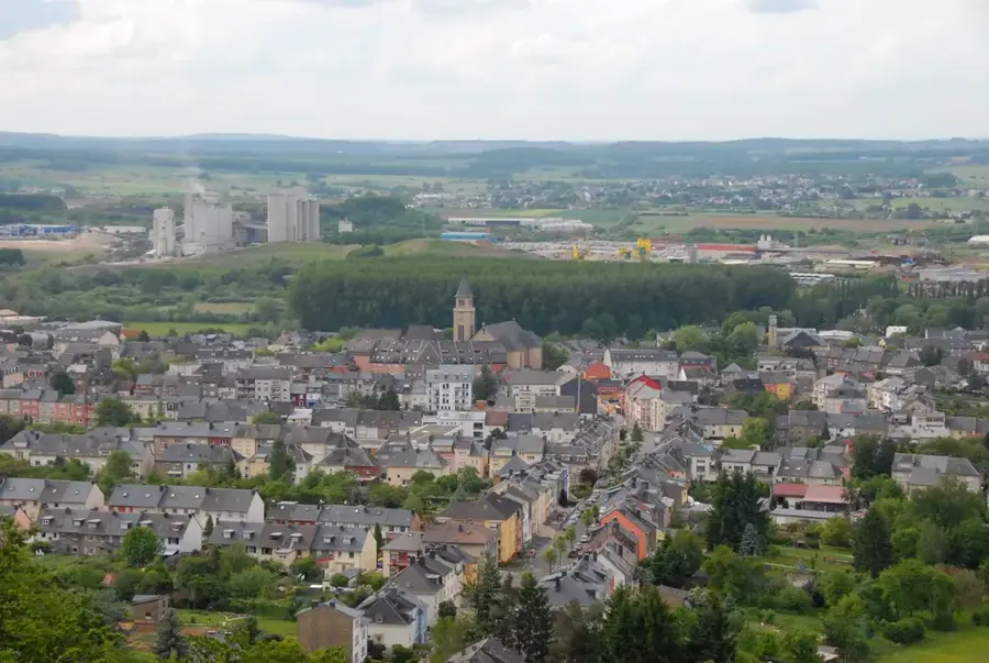
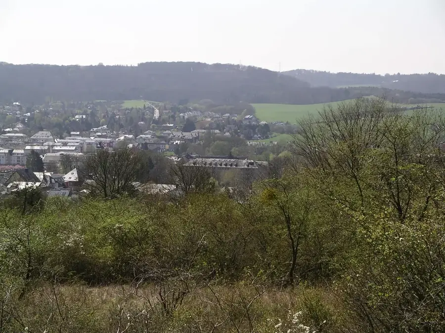
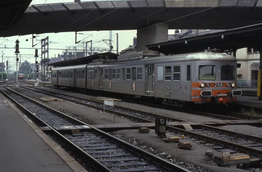
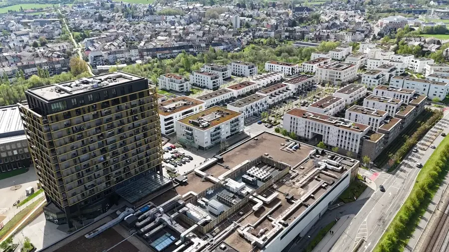
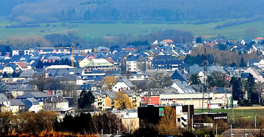
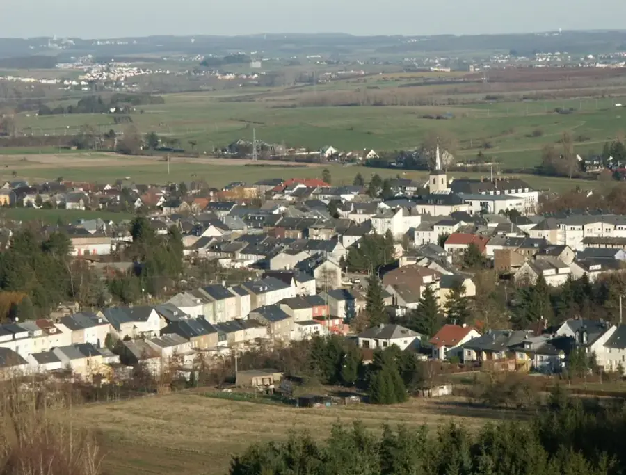
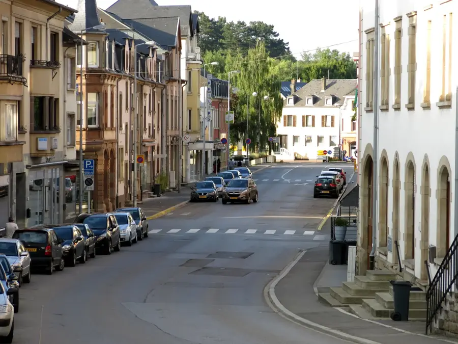
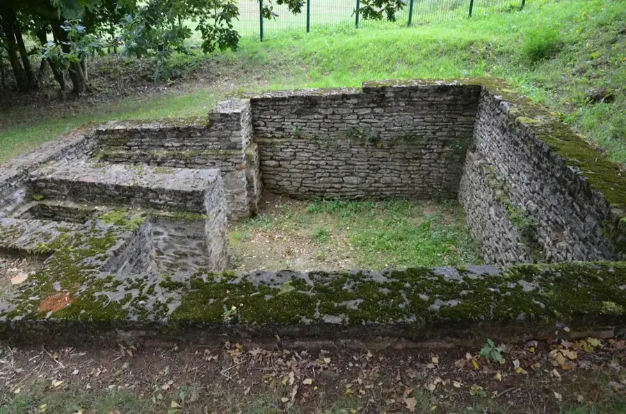
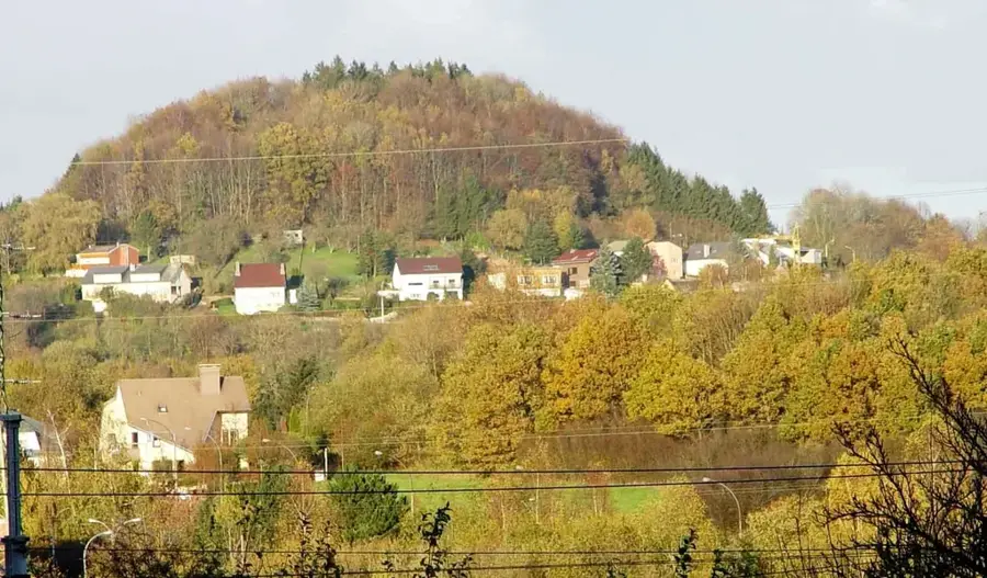
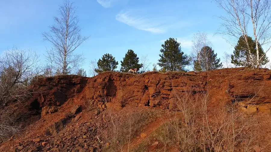
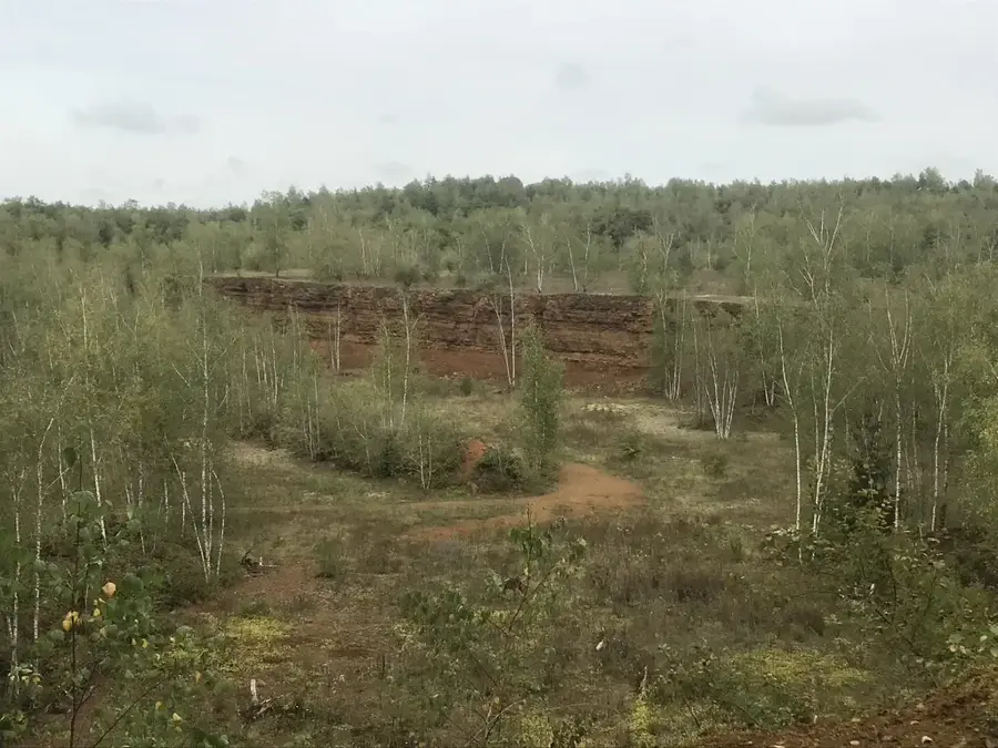
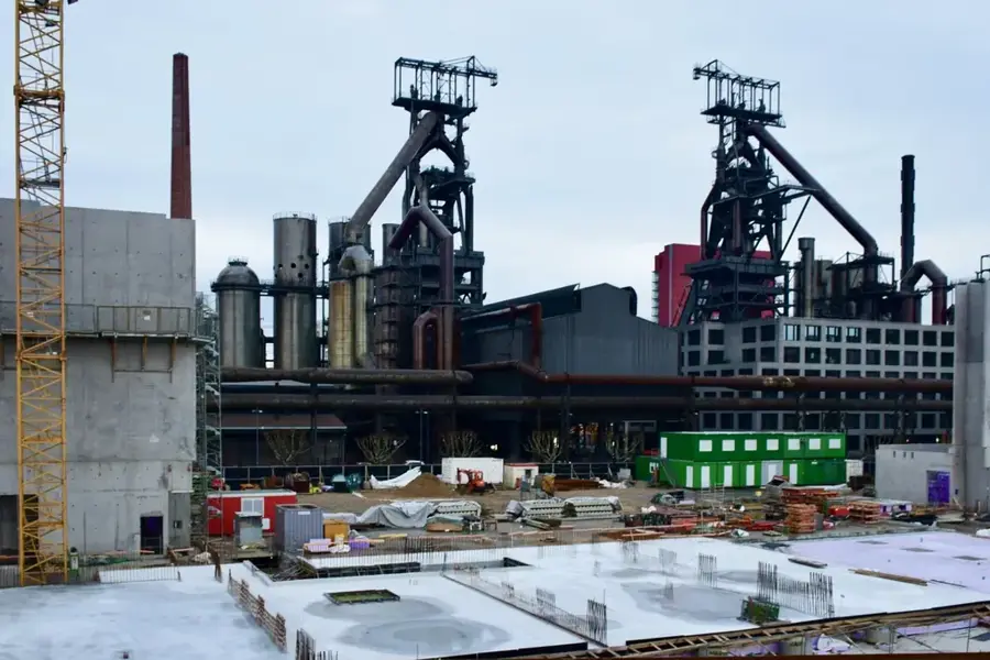
Pétange is located in the far southwest of Luxembourg, directly at the tripoint where the borders of Belgium and France meet. The town's historical significance is closely linked to iron ore mining in the Minette region, which triggered massive population growth in the 19th century. On the Titelberg plateau, the remains of an important Celtic oppidum can be found, which served as a trading center as early as the 1st century BC. With the expansion of the railway network starting in 1873, Pétange developed into a strategic transport hub for the steel industry. Today, the municipality presents itself as a modern economic center with excellent infrastructure and cross-border commuter links. Situated on the banks of the Chiers river, the town preserves its industrial heritage through museums and monuments while simultaneously investing in new residential areas and educational facilities. Every year, the traditional 'Petinger Wand' carnival parade attracts thousands of visitors.
The most pleasant time to visit is Jun–Aug.
| Jan | Feb | Mar | Apr | May | Jun | Jul | Aug | Sep | Oct | Nov | Dec | |
|---|---|---|---|---|---|---|---|---|---|---|---|---|
| Avg °C | 1 | 1 | 5 | 9 | 13 | 17 | 19 | 19 | 15 | 10 | 5 | 2 |
| Rain mm | 67 | 57 | 57 | 46 | 70 | 68 | 65 | 72 | 56 | 65 | 68 | 79 |
See what it looks like near Pétange right now.
Petange: Rodange · 2.9 km · Open webcam on Windy · Webcams provided by Windy.com
Notable places around
Where do you start? We build the route here, with stops and country notes along the way.
© OpenStreetMap contributors · OpenRouteService
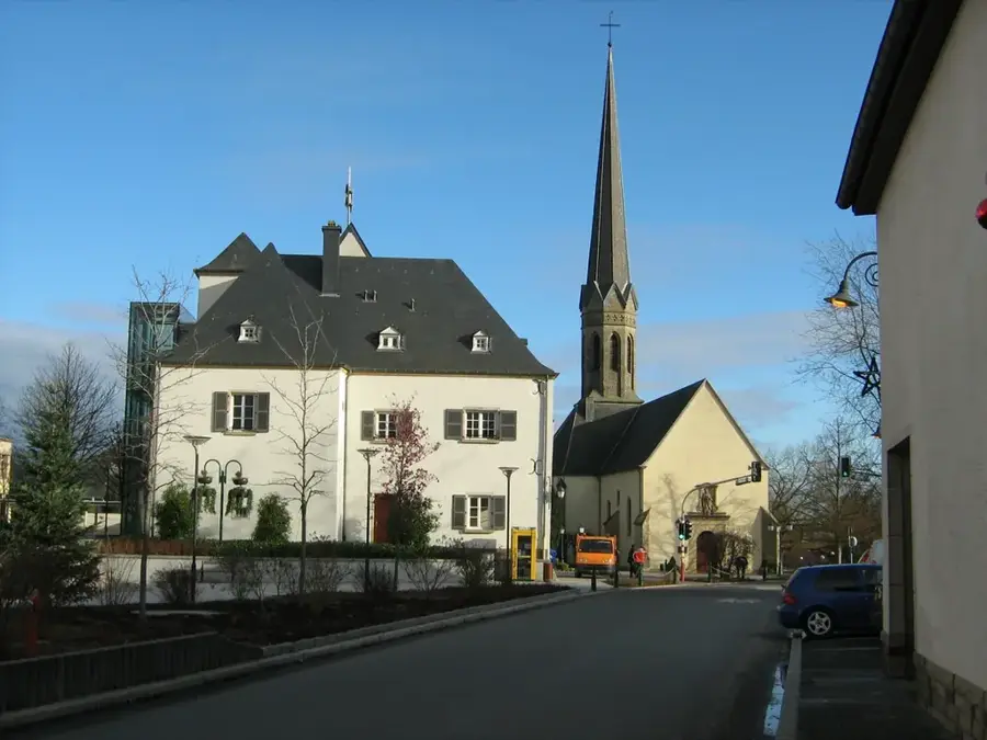
Your day in Petange begins in the heart of the city with a moment of remembrance, followed by the tranquility of St. Hubert's Church. The morning is dedicated to local culture at the A Guddest center, before a relaxing walk in the Parc de la Chiers provides refreshment. In the afternoon, you'll dive deep into history by climbing Titelberg to discover the remains of a Celtic settlement. The day concludes at Fond-de-Gras, a fascinating open-air museum that brings the region's industrial past to life.
The morning in Petingen starts at the Monument, but St. Hubert's neo-Gothic church soon provides dry shelter for reflection. At noon, the focus shifts to the A Guddest Cultural Center, where art and architecture protect you from the rain. In the afternoon, brave the weather in Parc de la Chiers with sturdy boots before heading to Titelberg. The evening concludes at the historic Fond-de-Gras, where the old industrial halls offer a mystical atmosphere in the rain.
The winter morning in Petingen is crisp, with St. Hubert's Church offering a solemn, cool silence. At noon, warm up in the cultural center before crossing the frosty Parc de la Chiers, where rime covers the bridges. In the afternoon, the ascent to Titelberg in the clear winter air is particularly refreshing, offering wide views over the snowy valley. The day ends early at sunset in Fond-de-Gras, where the vintage trains look almost spectral in the winter light.
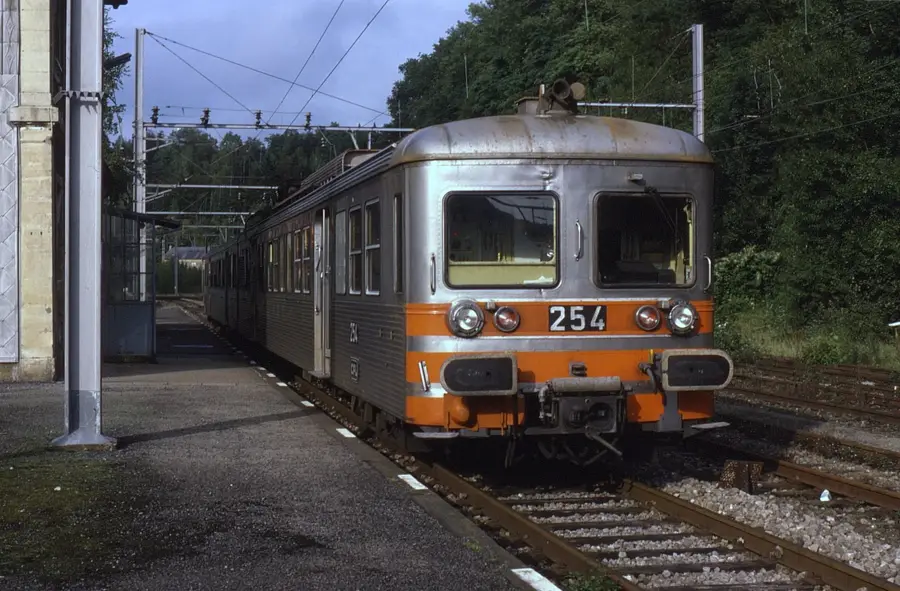
Hop on your bike and start the day exploring the center of Petange before enjoying a relaxing ride through the Parc de la Chiers. The morning takes you up the historic Titelberg, where you'll be rewarded with a magnificent view after a sporty climb. In the afternoon, you'll immerse yourself in the industrial world of the Minett Park. You'll explore Fond-de-Gras and experience nostalgic moments on rides with the Train 1900 and the Minièresbunn mining railway.
A rainy cycling day starts at St. Hubert's Church, where you can check your gear under the porch. The ride through Parc de la Chiers requires caution on wet corners but leads quickly to the Titelberg plateau. At noon, you reach Fond-de-Gras; the old stations are perfect hideouts from the downpour. The afternoon is dedicated to historic trains before the ride back to Petingen on rain-slicked roads.
The winter bike tour starts in freezing temperatures at St. Hubert's Church. The route through Parc de la Chiers is magical when mist hangs over the frozen river. At noon, the climb to Titelberg tests your fitness and warms you up, rewarded by wide, clear views. In Fond-de-Gras, dive into the industrial past before heading back to Petingen at dusk with your lights on.
Start your car day by parking in the center of Petange and exploring the first cluster of sights on foot: the church and the nearby park. In the morning, drive to the Minett Park. Park there again and immerse yourself in the world of industrial heritage for the rest of the day. Discover Fond-de-Gras, ride the historic trains, and stroll over to the ancient Celtic ruins on Titelberg, all on foot from this second parking spot.
A relaxed rainy day starts with parking in the center, from where St. Hubert's Church is just a few steps away. At noon, the drive through Parc de la Chiers offers a glimpse of nature from the dry car. After a short drive through the rolling hills, you reach Fond-de-Gras, where the car serves as a base for exploration. The afternoon is spent between historic trains and the sheltering mining museum before heading back.
The winter day begins with a warm drive to Petingen center for St. Hubert's Church. Parc de la Chiers looks its best under frost before the drive to Fond-de-Gras through snowy forests. At noon, warm up in the historic trains, which radiate a special coziness in winter. The crowning glory is Titelberg, where you can watch the sunset over the wintry valley directly from your car.
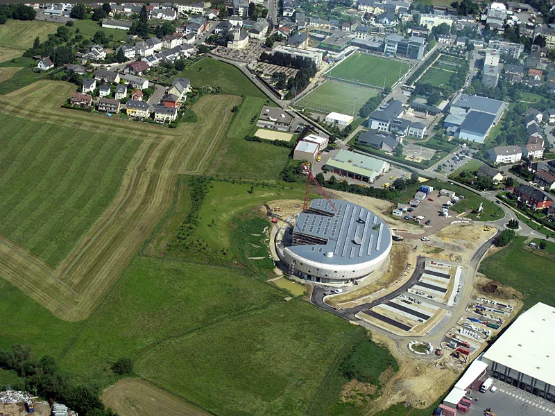
The Hall Paul Wurth in Pétange is a notable museum dedicated to industrial history.