Plizio Visual Lab
Mount Niha
Weather…
Water temperature…
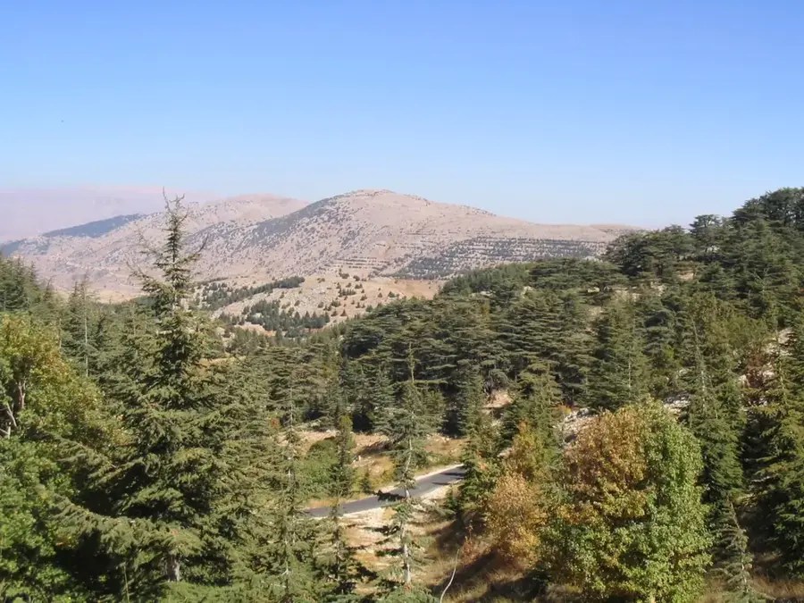
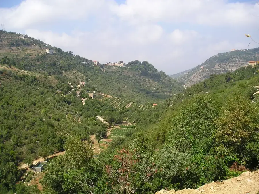
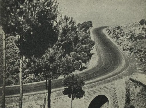
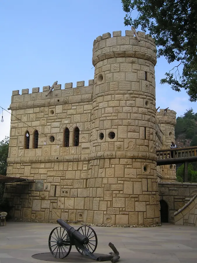
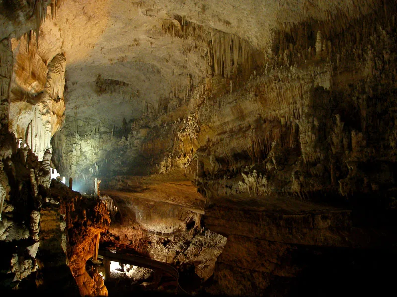
Mount Niha is a prominent peak in the southern part of the Mount Lebanon range, reaching an elevation of approximately 1,850 meters. It is best known for its extraordinary historical significance and the unique cave fortress embedded in its cliffs. The Fortress of Niha, also called Tyron, was carved directly into a vertical rock face and served as a strategic refuge for centuries, most notably for the Druze leader Fakhreddine II during the 17th century. Geologically, the mountain is defined by steep limestone formations and deep gorges that provided natural defenses against invaders. The area surrounding Mount Niha is part of the Shouf Biosphere Reserve, hosting precious stands of Lebanese cedars and a diverse range of flora and fauna. From the mountain’s slopes, one can enjoy expansive views over the Jezzine Valley and the southern foothills of Lebanon. Archaeological findings nearby indicate human activity dating back to the Phoenician and Roman eras. Today, Mount Niha is a key destination for hikers and history enthusiasts eager to explore the ancient fortress ruins and experience the pristine environment of the Shouf region.
- Location: Lebanon
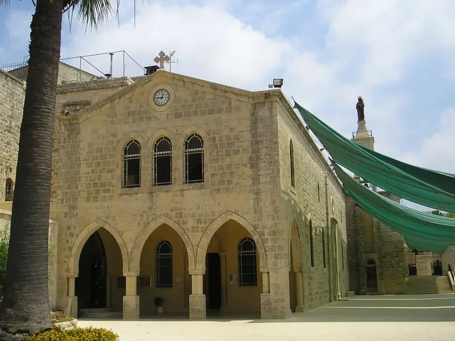
- Top sights: Fortress of Niha · ROOM 1980 · Saint Elias Church
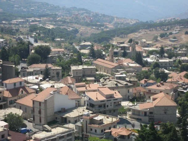
- Nearby: Jezzine (6 km)
Best time to visit & climate
The most pleasant time to visit is May, Jun, Sep.
| Jan | Feb | Mar | Apr | May | Jun | Jul | Aug | Sep | Oct | Nov | Dec | |
|---|---|---|---|---|---|---|---|---|---|---|---|---|
| Avg °C | 7 | 8 | 11 | 14 | 19 | 23 | 25 | 25 | 23 | 19 | 14 | 9 |
| Rain mm | 99 | 80 | 39 | 23 | 7 | 1 | 0 | 0 | 3 | 18 | 50 | 83 |
📋 Practical info
Geography
Facts
- The Niha cave fortress is situated at an altitude of 1,200 meters.
- Served as a final stronghold for Emir Fakhreddine II in the 17th century.
- Features multiple chambers and silos carved into the limestone cliff.
- Part of the Shouf Biosphere Reserve, protecting the native cedar trees.
- Overlooks the Bisri Valley and provides views toward the city of Jezzine.
- Historically identified as the Fortress of Tyron in Crusader records.
Explore nearby
Notable places around
Route planner — Car & Motorhome
Where do you start? We build the route here, with stops and country notes along the way.
© OpenStreetMap contributors · OpenRouteService
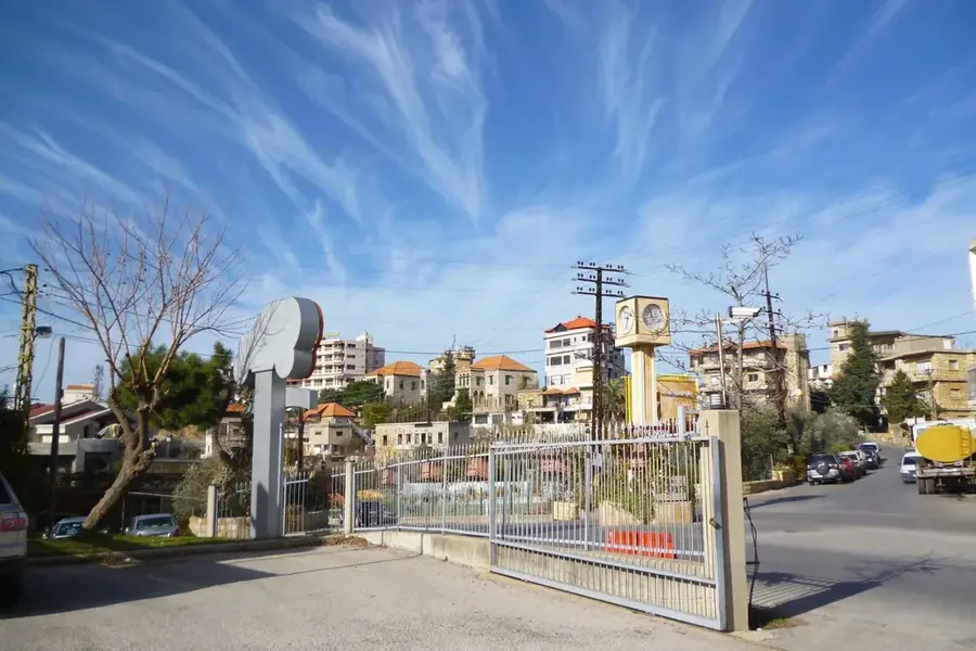
Sights in the town Mount Niha (4)
Sights nearby
Frequently asked questions
What is the Niha Fortress?
Where is Mount Niha located?
Can you visit the fortress?
What is the historical significance of the site?
What are the visiting hours?
Mount Niha: where is it located?
Mount Niha: what is there to see?
Mount Niha: when is the best time to visit?
Mount Niha: why is it worth visiting?

Nearby cities
History & landmarks

More places