Plizio Visual Lab
Litani Valley
Weather…
Water temperature…
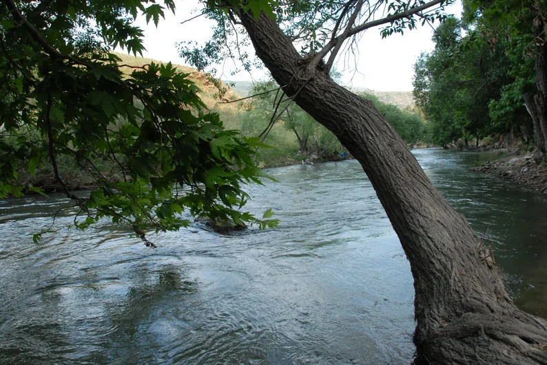
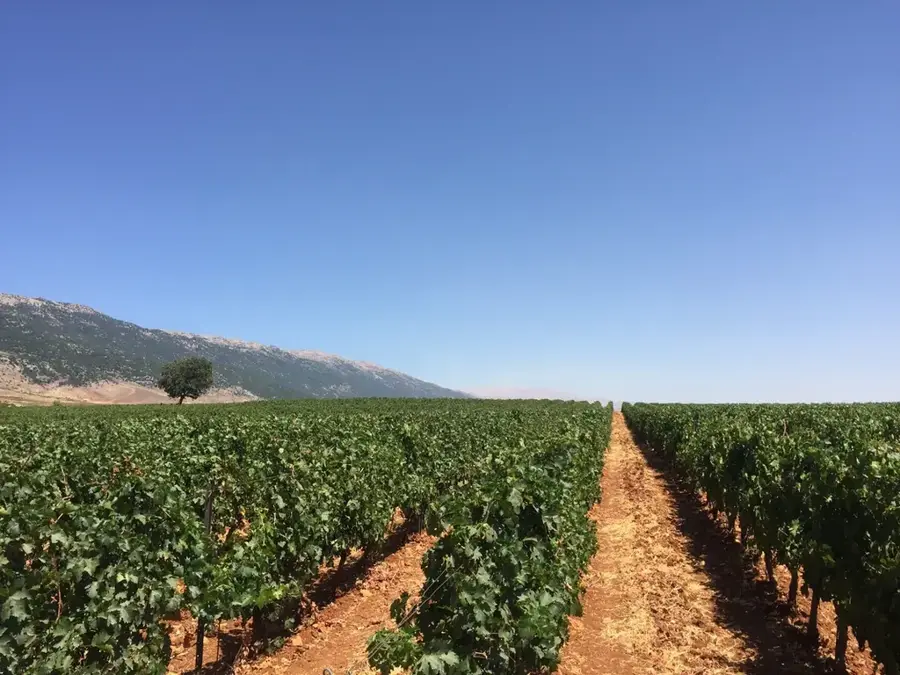
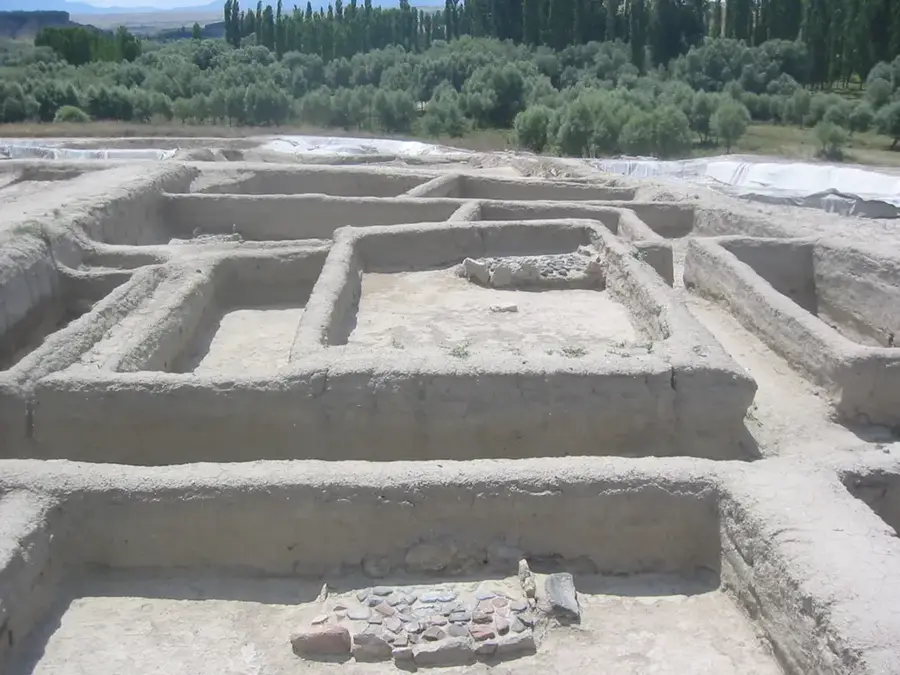
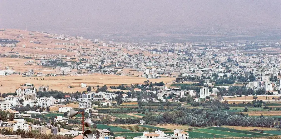
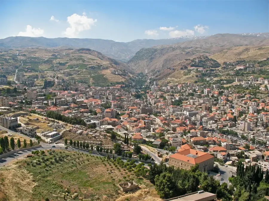
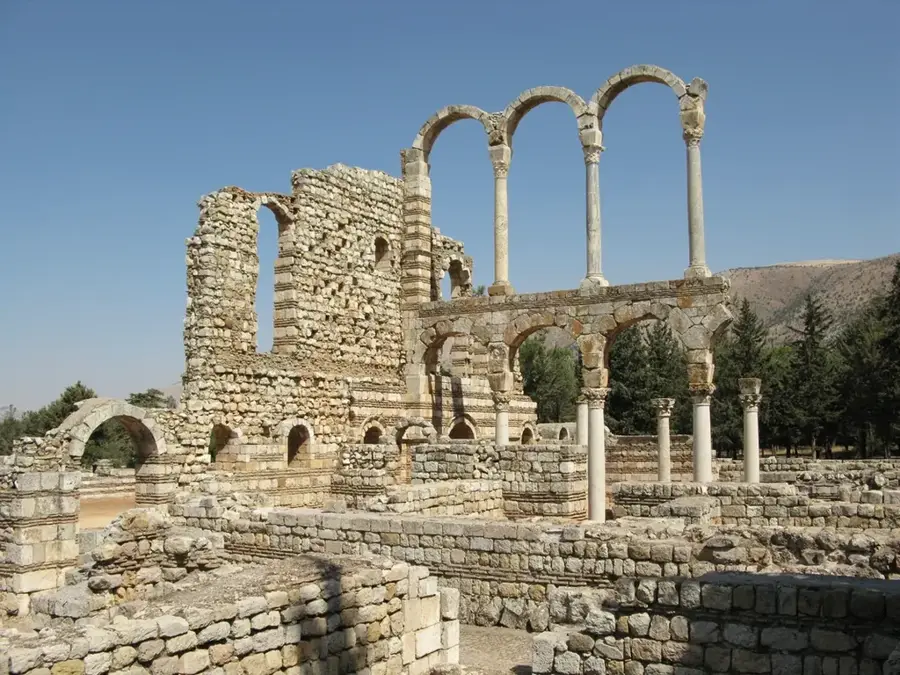
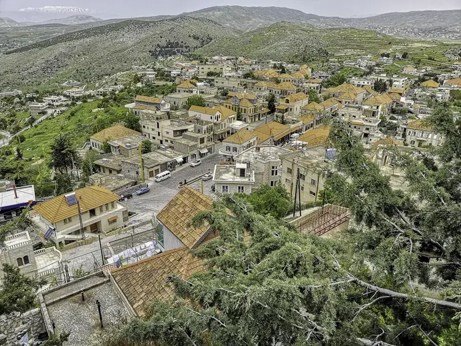
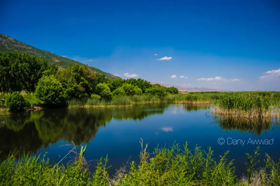
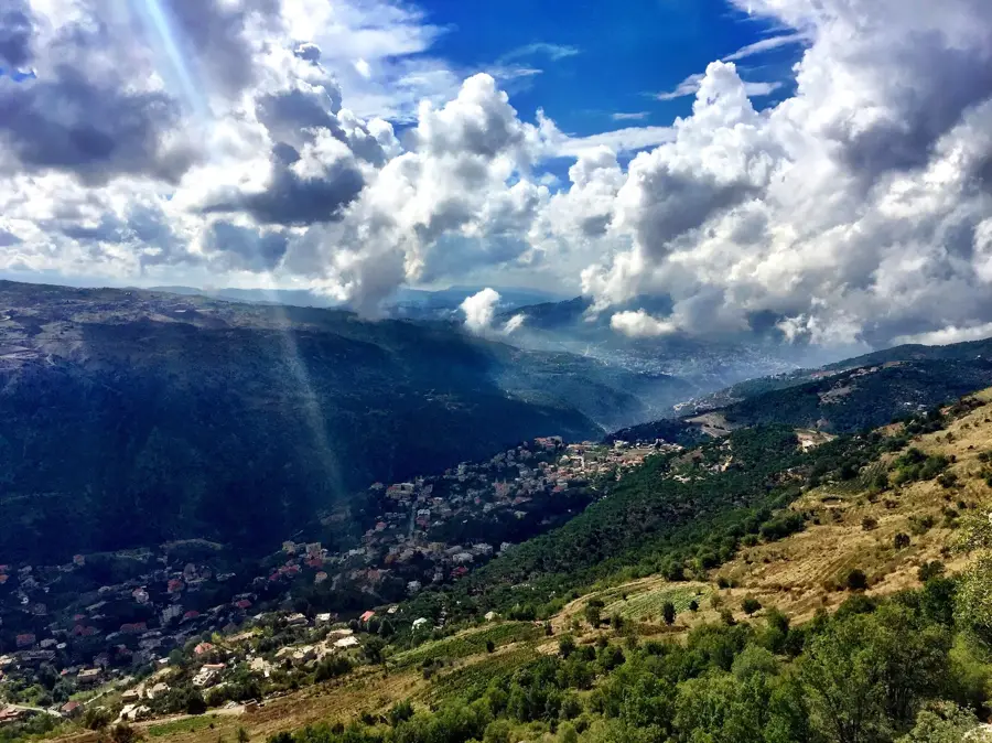
The Litani Valley is the drainage basin of Lebanon's longest river, which plays a pivotal role in the country's economy and agricultural sector. The river originates near Baalbek in the Beqaa Valley and flows for 140 kilometers southward before emptying into the Mediterranean Sea. Geographically, the valley forms a natural depression between the Mount Lebanon and Anti-Lebanon ranges. The most significant man-made feature in the valley is the Qaraoun Dam, which creates a massive reservoir used for both hydroelectric power generation and the irrigation of the arid southern plains. Historically, the valley has been a site of human settlement since Phoenician and Roman times, with ancient bridges and irrigation works still dotting the landscape. In modern history, the Litani Valley has frequently been a focus of strategic and military tension due to the vital importance of its water resources. Despite environmental challenges concerning pollution, the valley remains the lifeblood for thousands of farmers and a critical factor in Lebanon's national food security.
- Location: Lebanon
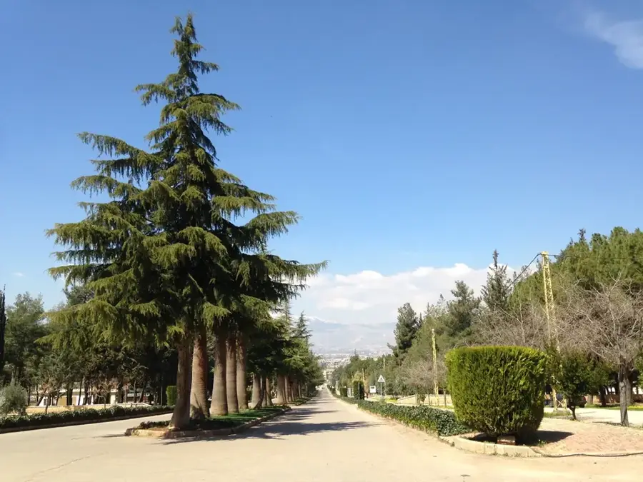
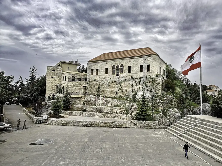
- Top sights: St. Peter · Orthodox Archbishopric · Marjayoun Maronite Church
- Nearby: Marjayoun (5 km)
Best time to visit & climate
The most pleasant time to visit is May, Jun, Sep.
| Jan | Feb | Mar | Apr | May | Jun | Jul | Aug | Sep | Oct | Nov | Dec | |
|---|---|---|---|---|---|---|---|---|---|---|---|---|
| Avg °C | 7 | 8 | 11 | 14 | 19 | 23 | 25 | 25 | 23 | 19 | 14 | 9 |
| Rain mm | 99 | 80 | 39 | 23 | 7 | 1 | 0 | 0 | 3 | 18 | 50 | 83 |
📋 Practical info
Geography
Facts
- Longest river entirely within Lebanon, spanning 140 km
- Originates west of Baalbek and flows into the Mediterranean near Tyre
- Home to the Qaraoun Dam, with a capacity of 220 million cubic meters
- Primary source of irrigation for agriculture in Southern Lebanon
- Supports three major hydroelectric power stations along its course
- Historically known as the Leontes River in classical antiquity
Explore nearby
Notable places around
Route planner — Car & Motorhome
Where do you start? We build the route here, with stops and country notes along the way.
© OpenStreetMap contributors · OpenRouteService
Sights in the town Litani Valley (4)
Sights nearby
Frequently asked questions
What is the Litani River?
Are there sights to see in the Litani Valley?
How is the water quality?
Can you go hiking in the Litani Valley?
What is the purpose of the Qaraoun Dam?
Litani Valley: where is it located?
Litani Valley: what is there to see?
Litani Valley: when is the best time to visit?
Litani Valley: why is it worth visiting?

Nearby cities
History & landmarks
More places